Pueblos
- ATORADI
- EMERILLON
- GALIBI
- OYAMPI
- ROUCOUYENNE
- TARUMAN
Citas
Nouvel Atlas colonial. Gallica. Last modified: May 24, 2020. Accessed, August 1, 2023. https://gallica.bnf.fr/ark:/12148/bpt6k1100234w/f8.item
BRASILIA ET PERUVIA
Mapa 1500 - 1599
Croquis III. (b) La región andina septentrional ecuatoriana (Moreno Yanez;1989;2)
Mapa -500 - 1530
Guarani Retã 2008: Pueblos Guaraníes en las fronteras Argentina, Brasil y Paraguay
Mapa 2008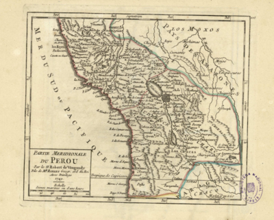
PARTIE MERIDIONALE DU PEROU
Mapa 1749
Autorretrato póstumo de Lorenzo Jaramillo
Obra de Arte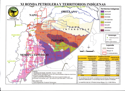
XI RONDA PETROLERA Y TERRITORIOS INDIGENAS
Mapa 2011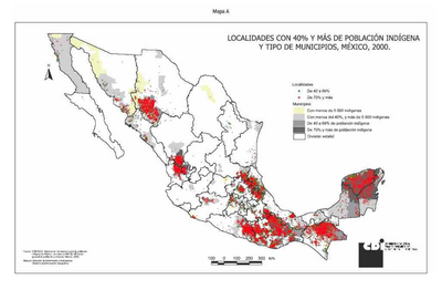
LOCALIDADES CON 40% Y MAS DE POBLACION INDIGENA Y TIPO DE MUNICIPIOS, MÉXICO, 2000
Mapa 2000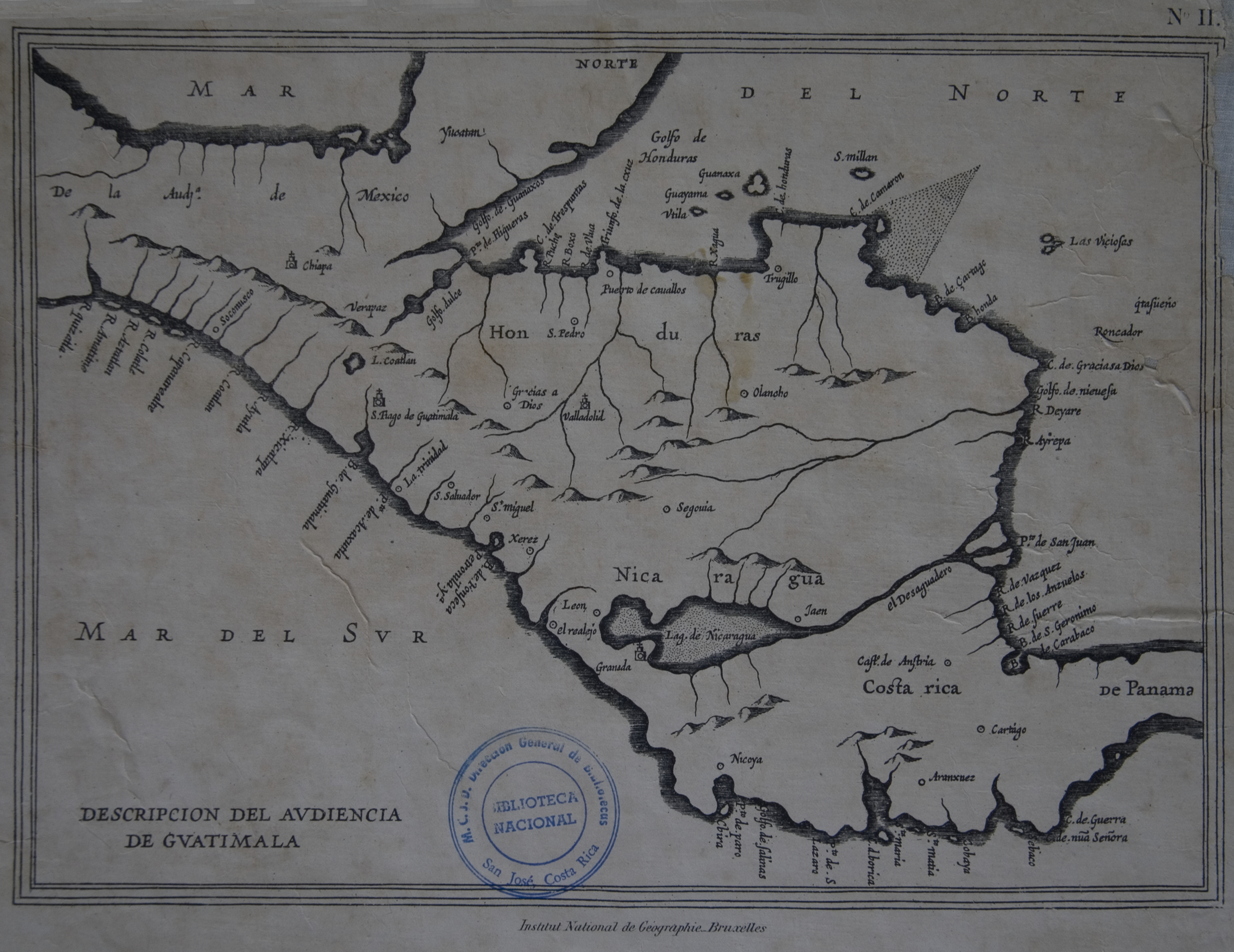
Descripción de las Indias Occidentales: Audiencia de Guatemala-Madrid
Mapa 1600 - 1699