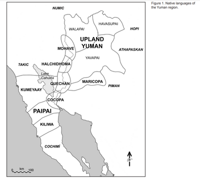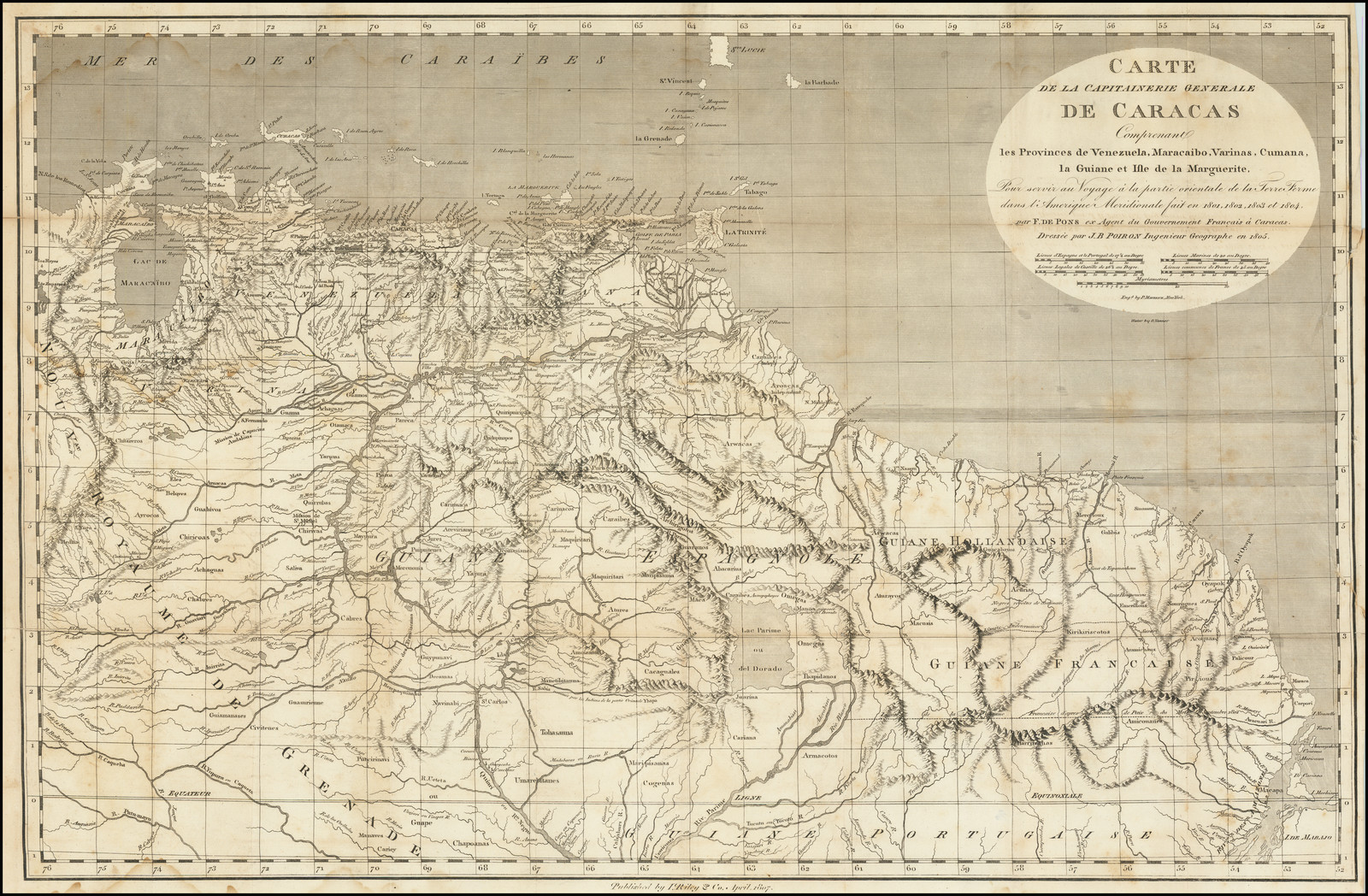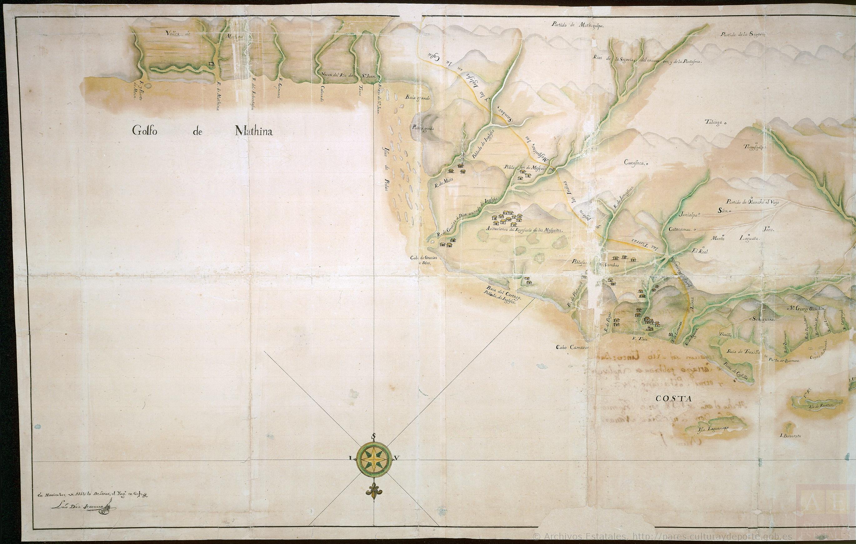
Pueblos
- AROUAS
- GALIBIS
- NOURAGUES
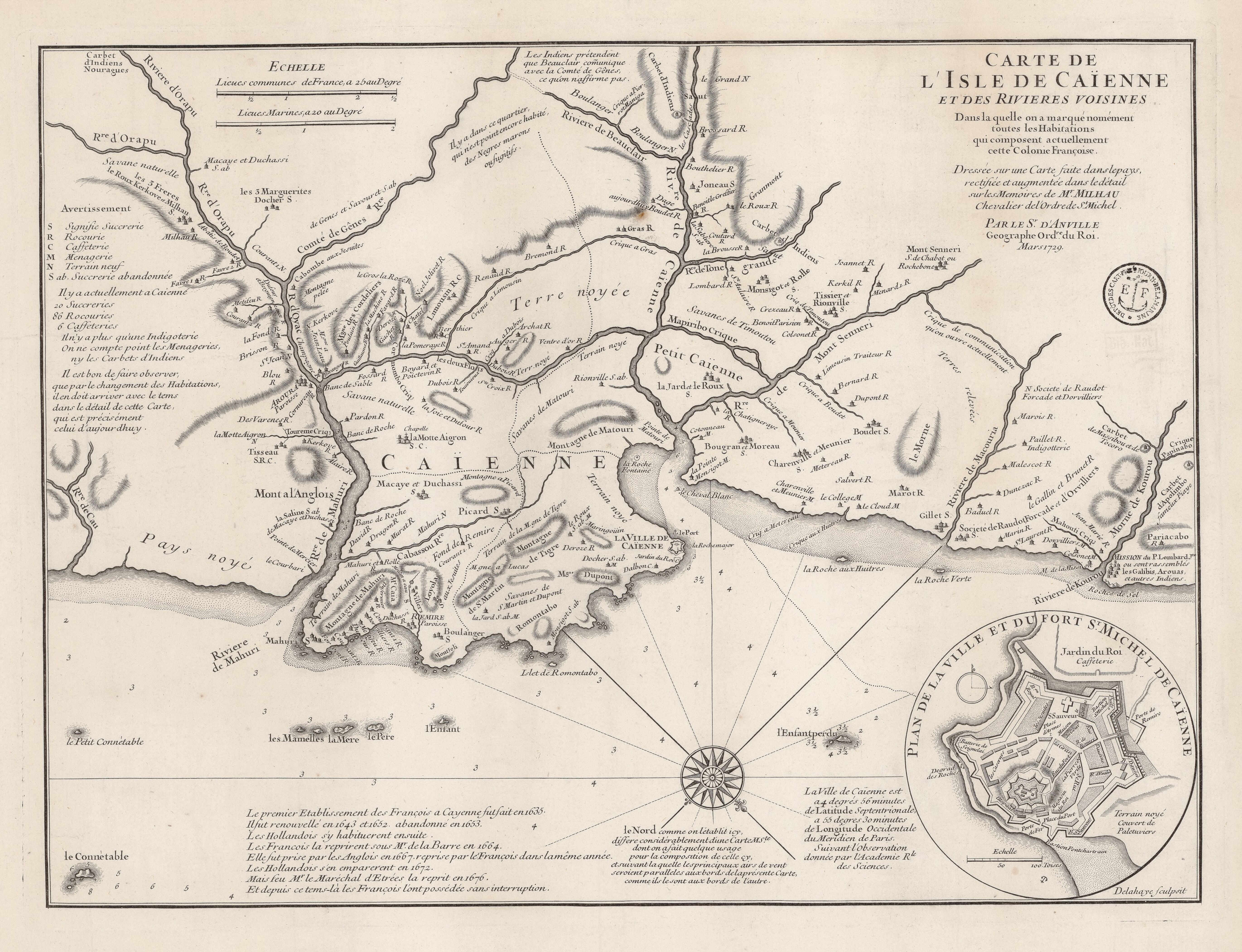
Cita
Carte de l'IIsle de Caïenne et des rivières voisines dans laquelle on a marqué nommément toutes les habitations qui composent actuellement. Gallica. Last modified: September 21, 2015. Accessed, July 21, 2023. https://gallica.bnf.fr/ark:/12148/btv1b531038601