Pueblos
- GALIBI
Cita
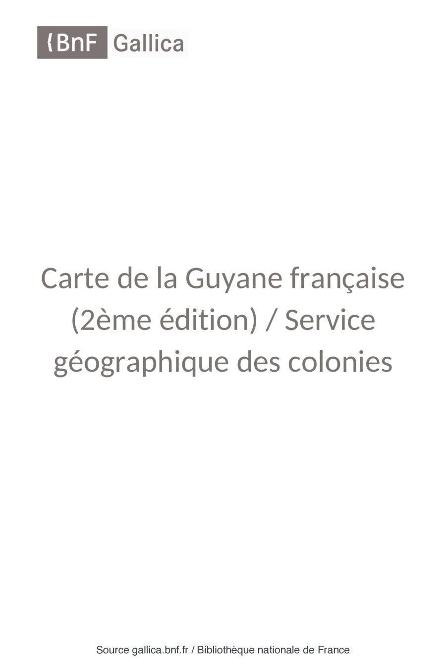
Carte de la Guyane française (2ème édition) / Service géographique des colonies. Gallica. Last modified: April 12, 2022. Accessed, June 27, 2023. https://gallica.bnf.fr/ark:/12148/btv1b53171844g
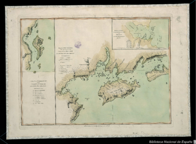
PLAN of the Isle GRANDE & the adjacent parts of the COAST of BRAZIL
Mapa 1764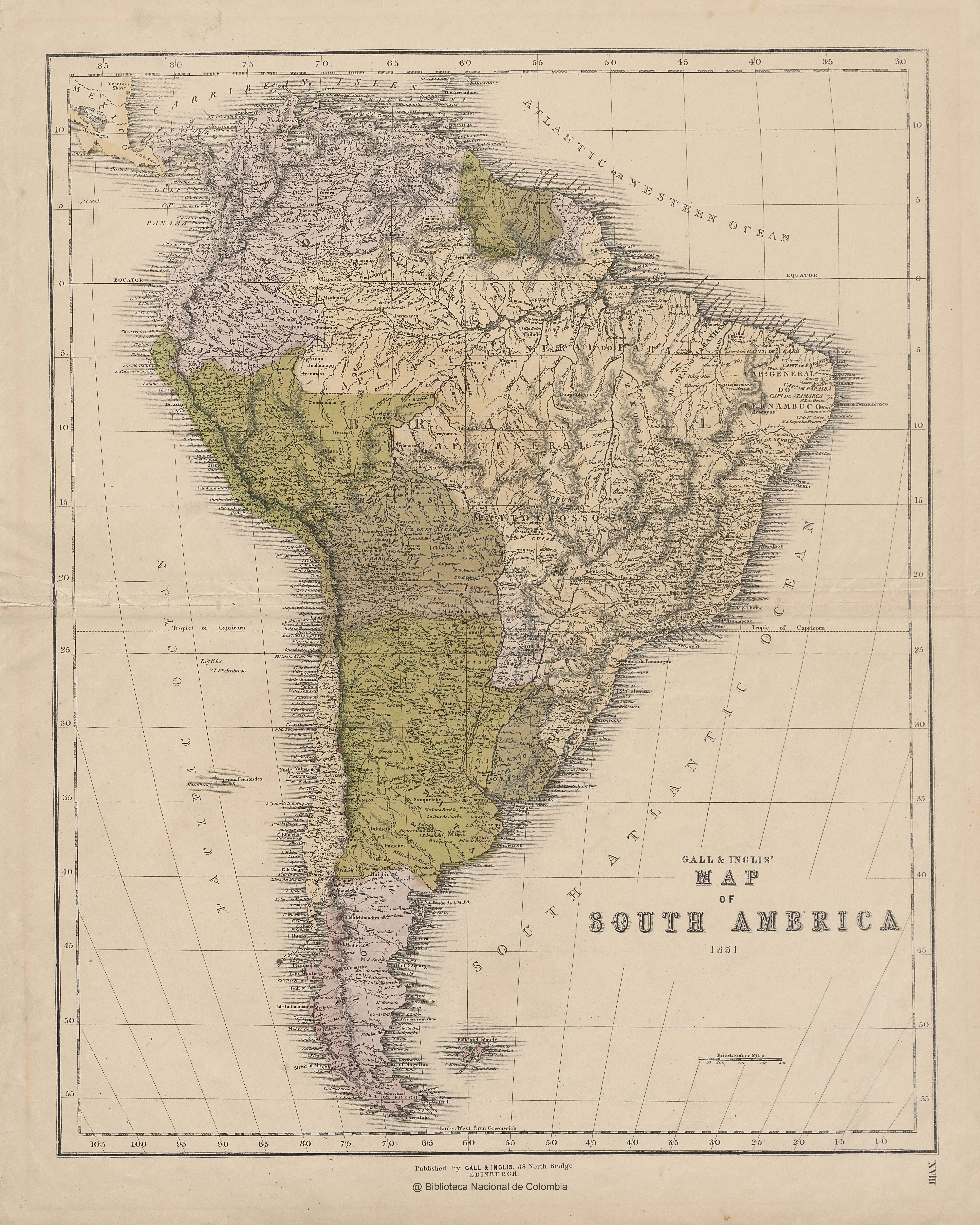
GALL & INGLIS' MAP OF SOUTH AMERICA
Mapa 1851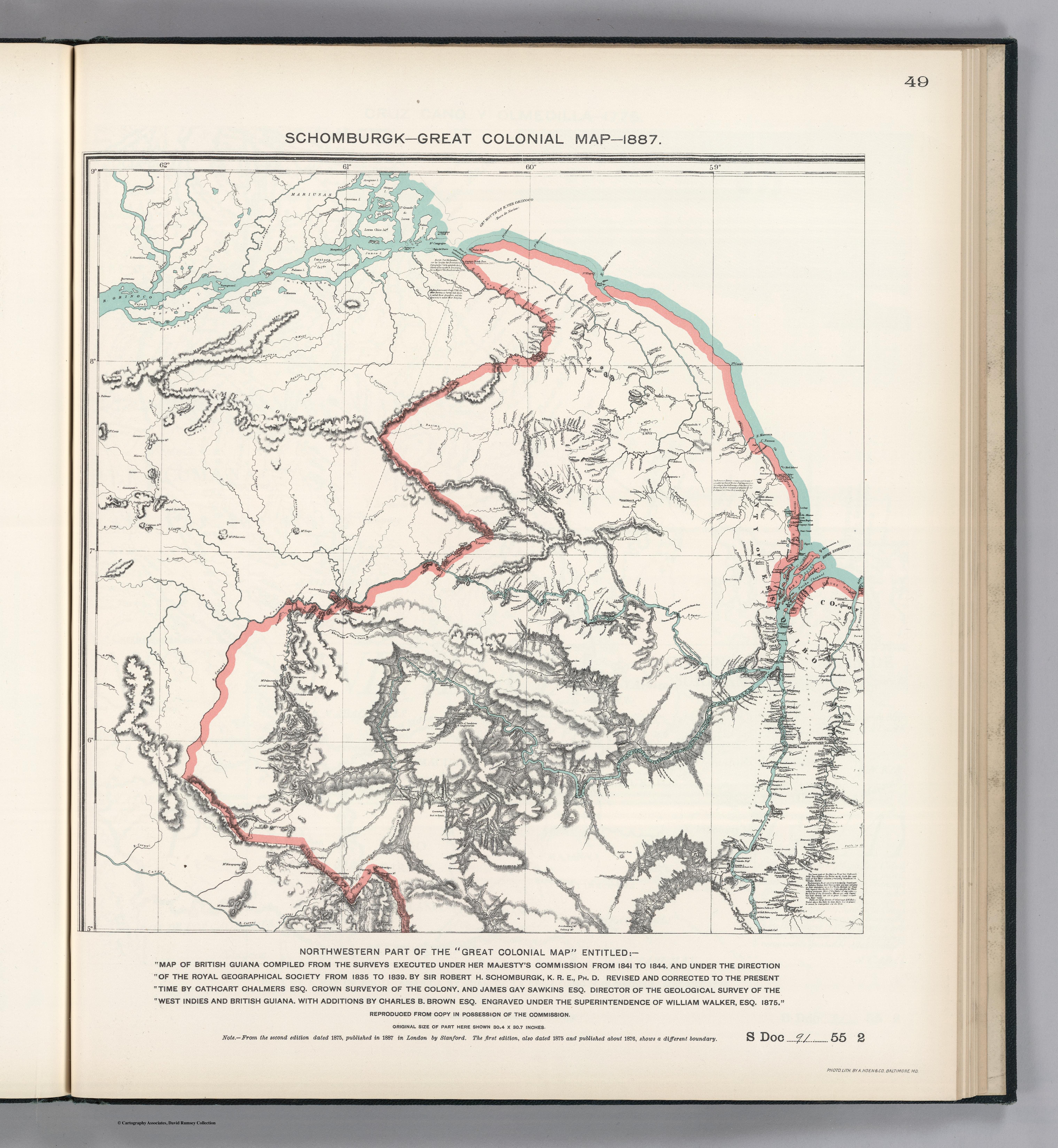
NORTHWEST PART OF THE "GREAT COLONIAL MAP"
Mapa 1875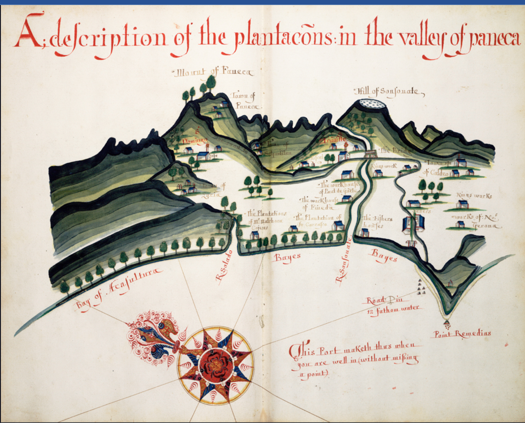
A Description of the Plantations in the Valley of Paneca
Mapa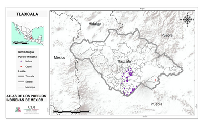
TLAXCALA
Mapa 2015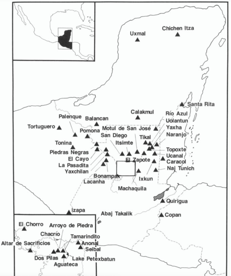
Map showing Sites Mentioned In Text
Mapa 200 - 900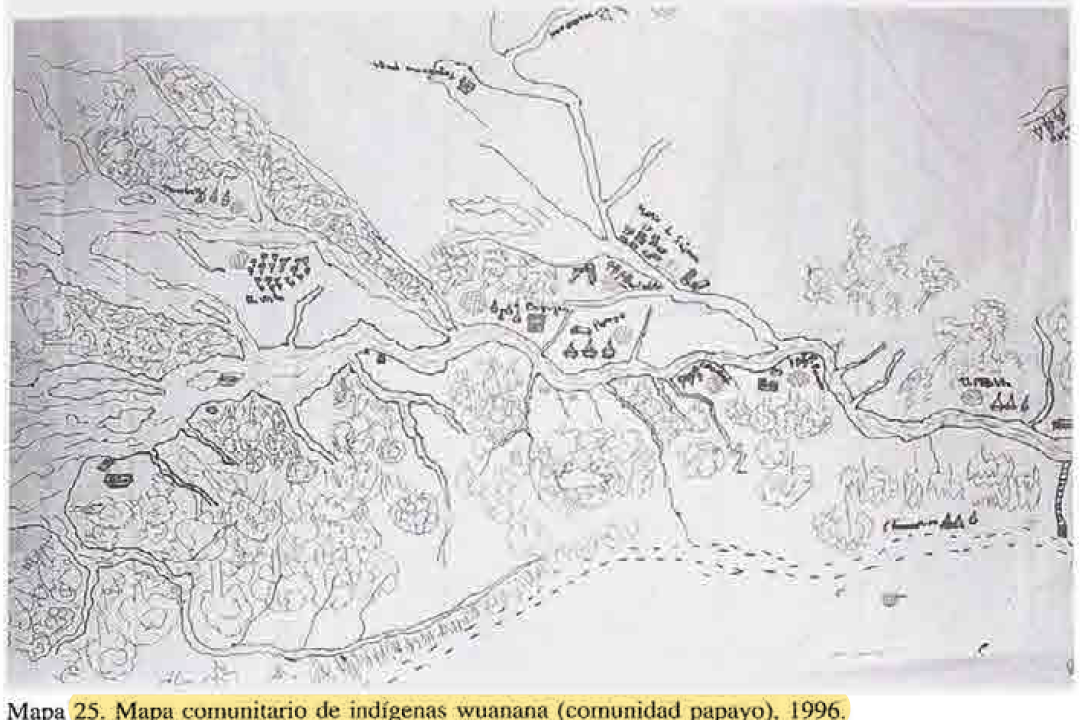
MAPA COMUNITARIA DE INDIGENAS WUANANA
Mapa 1996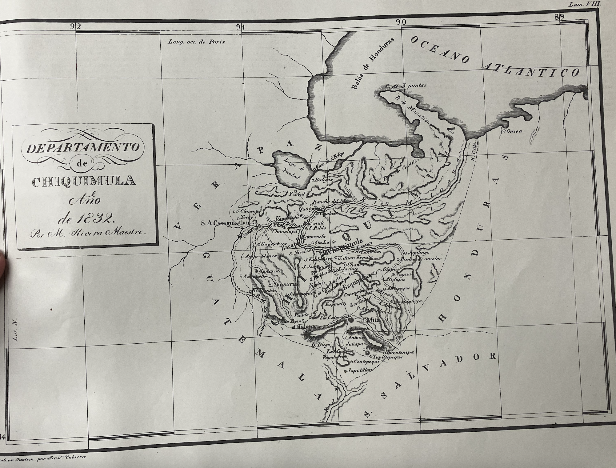
Departamento de Chiquimula
Mapa 1830 - 1832