Pueblos
- GUAJIROS
Cita
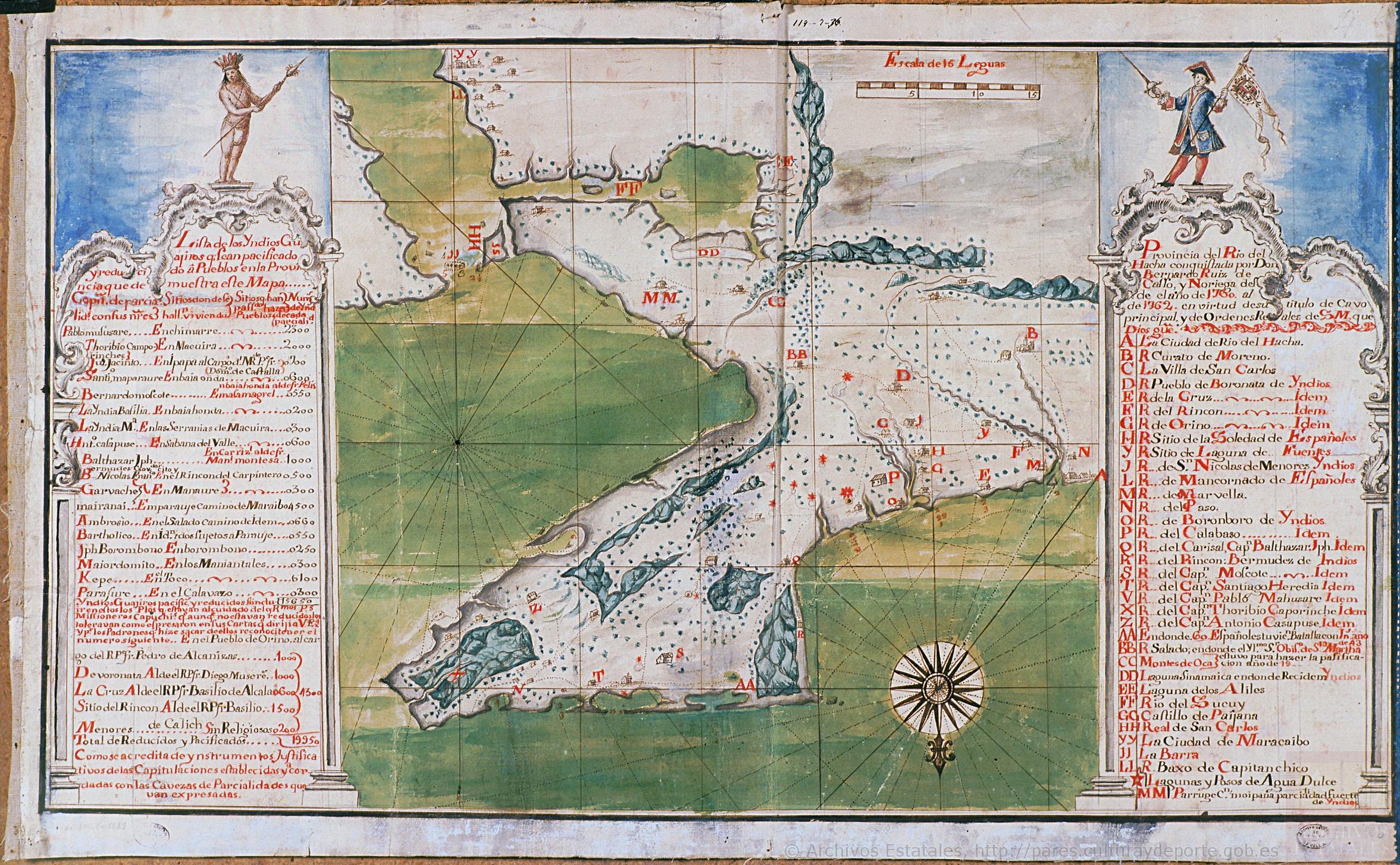
Unauthored. Mapa de la Peninsula Goagira. ES.41091.AGI//MP-PANAMA,168. Portal de Archivos Españoles - PARES. 1762, Accessed, October 27, 2023. http://pares.mcu.es/ParesBusquedas20/catalogo/show/22217
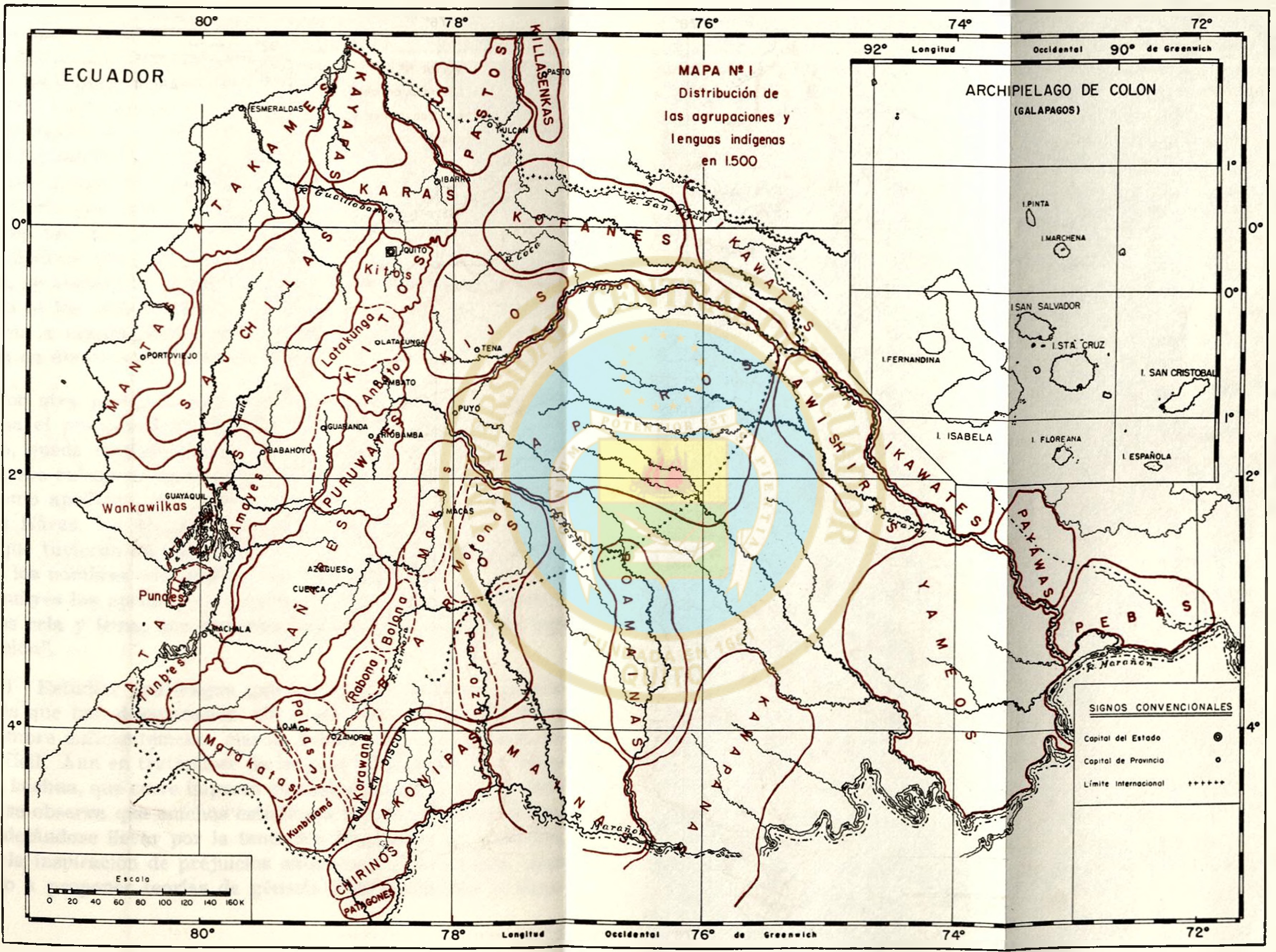
MAPA N. 1 DISTRIBUCIÓN DE LAS AGRUPACIONES Y LENGUAS INDÍGENAS EN 1500
Mapa 1500
Proyecto “Ranti-Ranti Acuerdo de Trueque”
Obra de Arte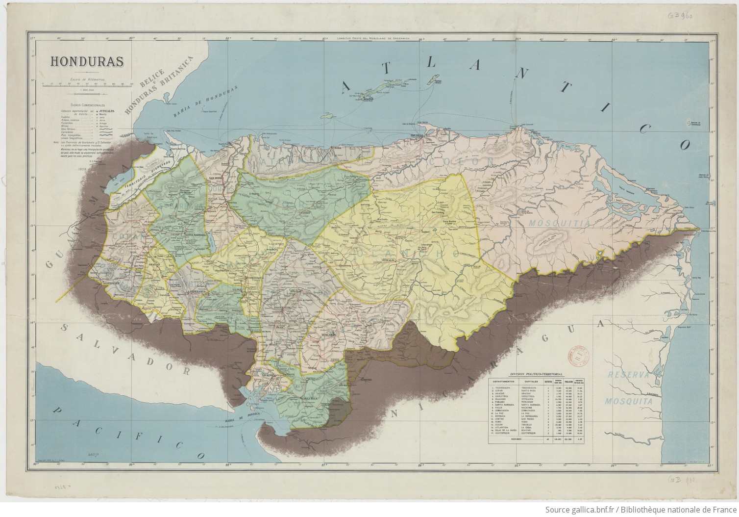
Honduras 1/800.000. Copyright 1909 by E. C. Fiallos
Mapa 1909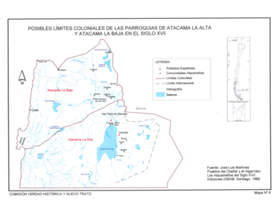
Pueblos del Chanar y el Algarrobo. Los Atacamas del Siglo XVII.
Mapa 1600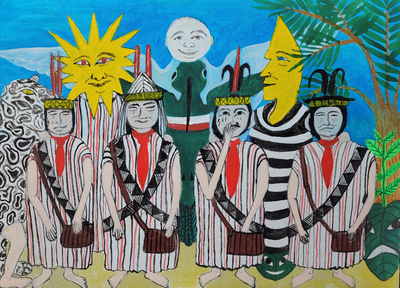
Saweto
Obra de Arte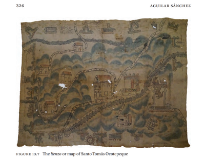
LIENZO OF SANTO TOMÁS OCOTEPEQUE
Mapa 1580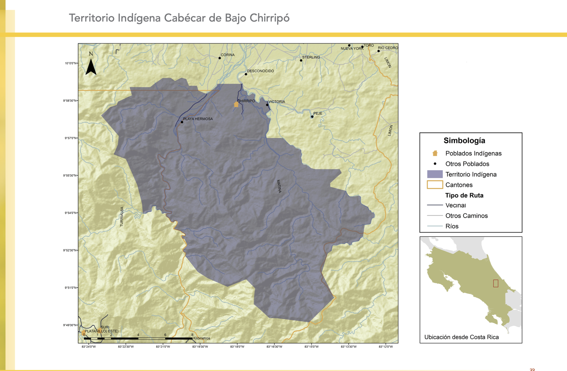
"Territorio Indígena Cabécar de Bajo Chrirripó"
Mapa 2010
Outlines of the physical and political division of South America: Delineated by A. Arrowsmith partly from scarce and original documents, published before the year 1806 but principally from manuscript maps & surveys made between the years 1771 and 1806, corrected from accurate astronomical observations to 1810.
Mapa 1800 - 1899