Dispossesions in the Americas

Dispossesions in the Americas

  • Inicio
  • Explorar
  • Autores
  • Sobre
  • Arte
  • Cuerpos
  • Planes de Estudio
  • Herencia Cultural
  • Mapas
  • Territorios
Volver a Explorar

Leyendo en Inglés

Mapa 1800 - 1899

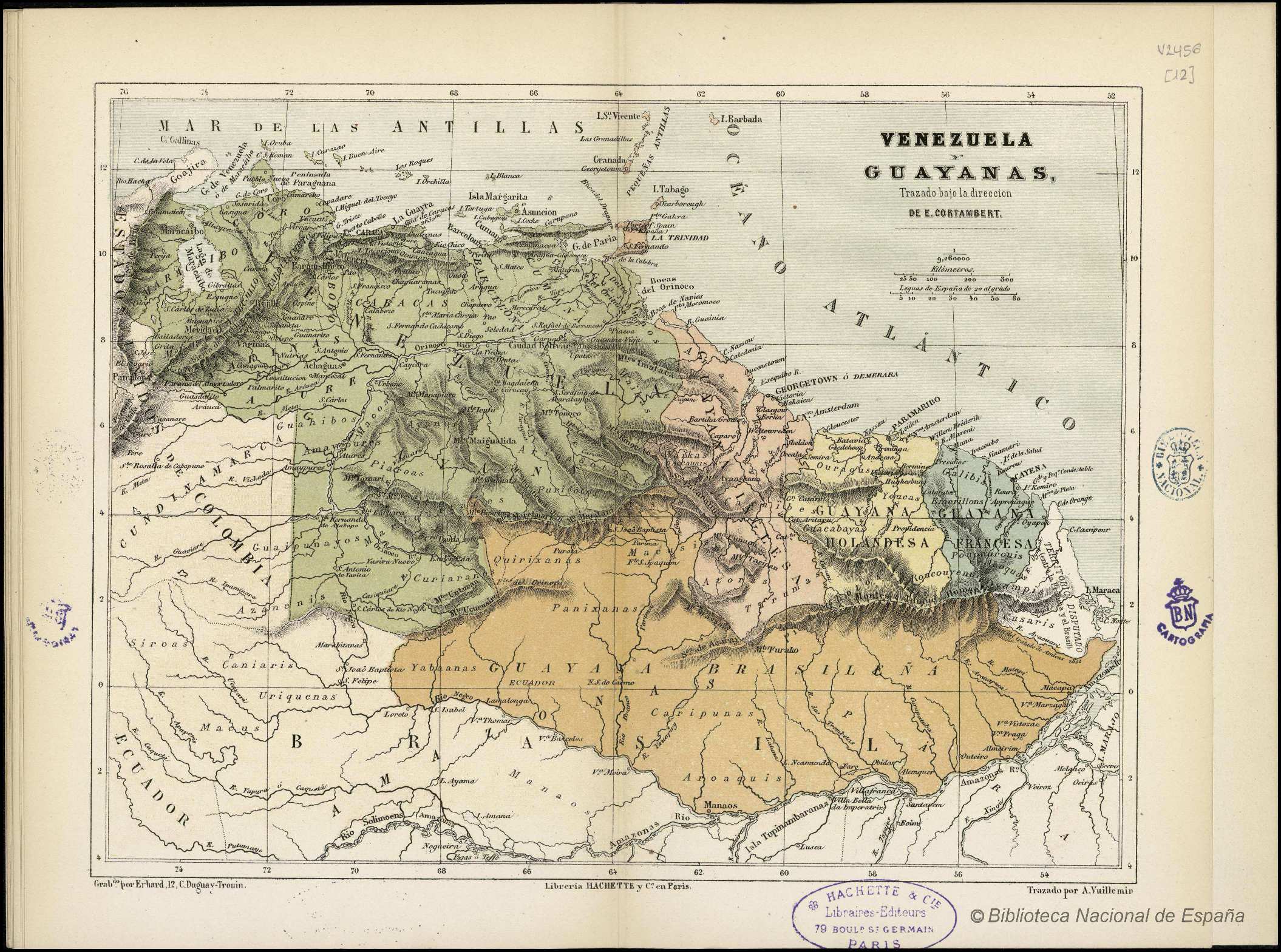
Guiana Shewing the Localities of the Principal Indian Nations

  • Brett, W. H.

Publicado: 1868

  • Descargar Imágen
  • Descargar Imágen
Mapa 1800 - 1899

Guiana Shewing the Localities of the Principal Indian Nations

  • Brett, W. H.

Publicado: 1868

  • Descargar Imágen

Pueblos

  • ACAWOIOS
  • ACCOCRIS
  • AMORUAS
  • ARAMISAS
  • ARAWAKS
  • ARECUNAS
  • ARINAGOTOS
  • ATORAIS
  • CADUPINAPOS
  • CARIBS
  • COUSSARIS
  • CUINAUS
  • CUNIPASANOS
  • CURIANOS
  • CURUCHIPANOS
  • EMERILLONS
  • GALIBIS
  • GUAHIBOS
  • GUAHARIBOS
  • GUAICAS
  • GUAINARES
  • GUAIPUNAVOS
  • KAMAROCOTOS
  • KIRIHANAS
  • KIRISHANAS
  • MACOS
  • MACUSIS
  • MAIONGKONGS
  • MANITIVITANOS
  • MAPOYES
  • MARIQUITARES
  • OAVACAS
  • OYAMPIS
  • PANARES
  • PIAROAS
  • PURIGOTOS
  • ROCOUYENNES
  • TAPARITOS
  • TARUMAS
  • WAIKAS
  • WAPISIANAS
  • WARAUS
  • WOYAWAIS
  • YABANOS
  • ZAPARAS

Citas

Brett, W. H., The Indian tribes of Guiana , the condition and habits. Hathi Trust, Accessed, August 21, 2023. https://hdl.handle.net/2027/coo1.ark:/13960/t04x5vb40?urlappend=%3Bseq=561

  • Descargar Imágen

Artículos Relacionados

[Guyane française entre l'île du Diable, le Cassipour, et les Sources de l'Oyapok / par Jean-Baptiste d'Anville]

[Guyane française entre l'île du Diable, le Cassipour, et les Sources de l'Oyapok / par Jean-Baptiste d'Anville]

Mapa 1700 - 1799
Paraguariæ Provinciæ soc. jesu cum adiacentibg. novissima descriptio : post iteratas peregrinationes & plures observationes patrum missionariorum eiusdem soc. tum huius provinciæ;cum & Peruanæ accuratissime delineata & emendata ann. 1732

Paraguariæ Provinciæ soc. jesu cum adiacentibg. novissima descriptio : post iteratas peregrinationes & plures observationes patrum missionariorum eiusdem soc. tum huius provinciæ;cum & Peruanæ accuratissime delineata & emendata ann. 1732

Mapa 1732
El área cultural jívara

El área cultural jívara

Mapa 1997
Comunidades indígenas del Paraguay

Comunidades indígenas del Paraguay

Mapa 2001
Mapa de la Republica de Nicaragua y parte de las de Honduras y Costa Rica Continiendo los mejores datos conocidos hasta 1873

Mapa de la Republica de Nicaragua y parte de las de Honduras y Costa Rica Continiendo los mejores datos conocidos hasta 1873

Mapa 1800 - 1873
Tabula geographica regni Guiane Navigationes Gualteri Ralegh.

Tabula geographica regni Guiane Navigationes Gualteri Ralegh.

Mapa 1600 - 1699
Pueblos indígenas en el Perú amazónico

Pueblos indígenas en el Perú amazónico

Mapa 2009
MAPA DE LOCALIZACIÓN DE NACIONALIDADES Y PUEBLOS INDÍGENAS DEL ECUADOR

MAPA DE LOCALIZACIÓN DE NACIONALIDADES Y PUEBLOS INDÍGENAS DEL ECUADOR

Mapa 2010

Despojos en las Américas

Un Proyecto de

University of Pennsylvania

Copyright 2024

Con el apoyo de

Mellon Foundation

Diseño y Desarrollo del Sitio

Element 84

Créditos Artísticos

Brett, W. H., The Indian tribes of Guiana , the condition and habits. Hathi Trust, Accessed, August 21, 2023. https://hdl.handle.net/2027/coo1.ark:/13960/t04x5vb40?urlappend=%3Bseq=561

Páginas del Sitio

  • Inicio
  • Explorar
  • Autores
  • Sobre
  • Arte
  • Cuerpos
  • Planes de Estudio
  • Herencia Cultural
  • Mapas
  • Territorios