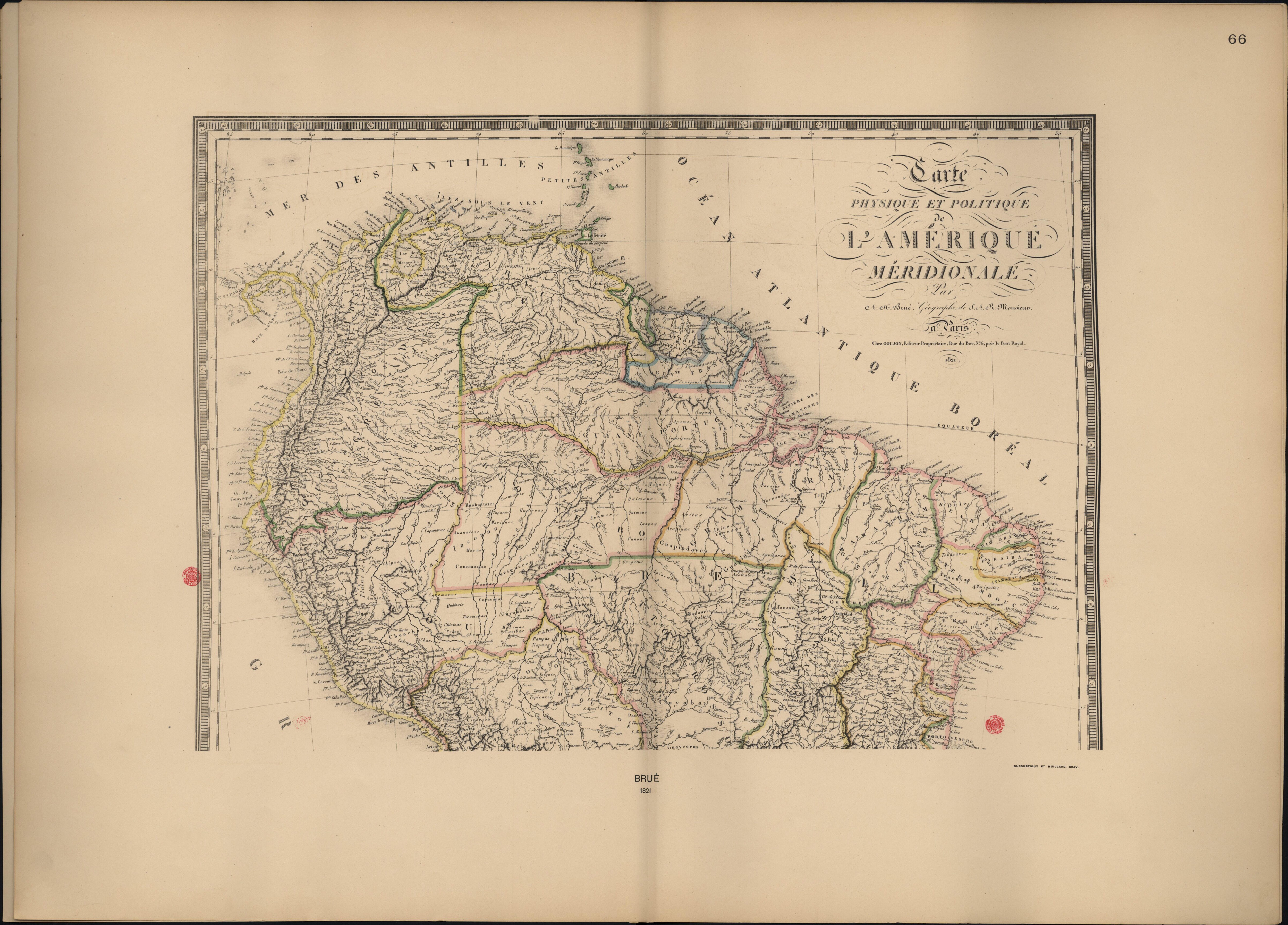
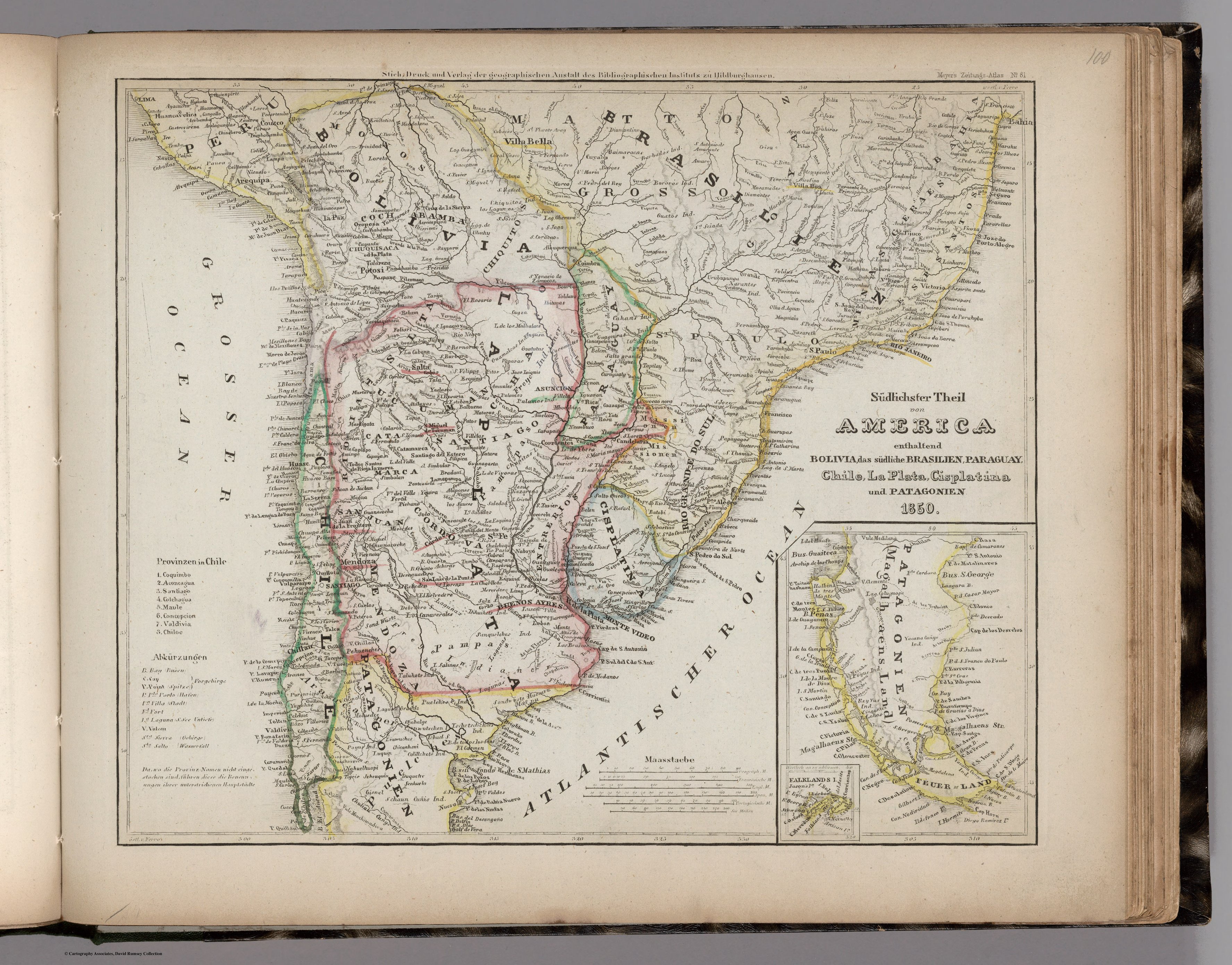
Dispossesions in the Americas

Dispossesions in the Americas

  • Inicio
  • Explorar
  • Autores
  • Sobre
  • Arte
  • Cuerpos
  • Planes de Estudio
  • Herencia Cultural
  • Mapas
  • Territorios
Volver a Explorar

Leyendo en Inglés

Mapa 1794

CHART containing the greater part of the SOUTH SEA to the South of the LINE, with the ISLANDS dispersed thro' the same

  • WHITTLE, JAMES

Publicado: 1794

  • Descargar Imágen
  • Descargar Imágen
Mapa 1794

CHART containing the greater part of the SOUTH SEA to the South of the LINE, with the ISLANDS dispersed thro' the same

  • WHITTLE, JAMES

Publicado: 1794

  • Descargar Imágen

Pueblos

  • TUPINAMBAS
  • TAPUYAS
  • CHIQUITOS
  • GUAYCURUS
  • CHARUAS
  • PATAGOUS

Cita

Whittle, James, and Robert Laurie. Chart containing the greater part of the South Sea to the South of the Line, with the Islands dispersed thro' the same. Map. London: Laurie & Whittle, 1794. Accessed August 13, 2023. https://gallica.bnf.fr/ark:/12148/btv1b53123130r/f1.item.

  • Descargar Imágen

Leyendo en Portugués

Mapa 1794

CHART containing the greater part of the SOUTH SEA to the South of the LINE, with the ISLANDS dispersed thro' the same

  • WHITTLE, JAMES

Publicado: 1794

  • Descargar Imágen

Pueblos

  • TUPINAMBAS
  • TAPUYAS
  • CHIQUITOS
  • GUAYCURUS
  • CHARUAS
  • PATAGOUS

Cita

Whittle, James, and Robert Laurie. Chart containing the greater part of the South Sea to the South of the Line, with the Islands dispersed thro' the same. Map. London: Laurie & Whittle, 1794. Accessed August 13, 2023. https://gallica.bnf.fr/ark:/12148/btv1b53123130r/f1.item.

  • Descargar Imágen

Artículos Relacionados

Carte Physique et Politique de l'Amérique Méridionale.

Carte Physique et Politique de l'Amérique Méridionale.

Mapa 1800 - 1899
Mapa de la Provincia de Chiloé en el Reino de Chile y
     el número de sus habitantes

Mapa de la Provincia de Chiloé en el Reino de Chile y el número de sus habitantes

Mapa 1785
Present Distribution of the Otomi Family

Present Distribution of the Otomi Family

Mapa 1969
WEST INDIES;CENTRAL AMERICA;COLUMBIA;VENEZUELA & BRITISH GUIANA

WEST INDIES;CENTRAL AMERICA;COLUMBIA;VENEZUELA & BRITISH GUIANA

Mapa 1876
Sudlichster Theil von AMERICA enthaltend BOLIVIA, das sudliche BRASILIEN, PARAGUAY, Chile, La Plata, Cisplatina und PATAGONIEN

Sudlichster Theil von AMERICA enthaltend BOLIVIA, das sudliche BRASILIEN, PARAGUAY, Chile, La Plata, Cisplatina und PATAGONIEN

Mapa 1850
PUEBLO CHAPRA

PUEBLO CHAPRA

Mapa 2021
PUEBLO ASHANINKA

PUEBLO ASHANINKA

Mapa 2021
Mapa de las culturas indígenas en vísperas de la conquista española.

Mapa de las culturas indígenas en vísperas de la conquista española.

Mapa 1650 - 1750

Despojos en las Américas

Un Proyecto de

University of Pennsylvania

Copyright 2024

Con el apoyo de

Mellon Foundation

Diseño y Desarrollo del Sitio

Element 84

Créditos Artísticos

Whittle, James, and Robert Laurie. Chart containing the greater part of the South Sea to the South of the Line, with the Islands dispersed thro’ the same. Map. London: Laurie & Whittle, 1794. Accessed August 13, 2023. https://gallica.bnf.fr/ark:/12148/btv1b53123130r/f1.item.

Páginas del Sitio

  • Inicio
  • Explorar
  • Autores
  • Sobre
  • Arte
  • Cuerpos
  • Planes de Estudio
  • Herencia Cultural
  • Mapas
  • Territorios