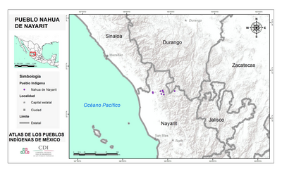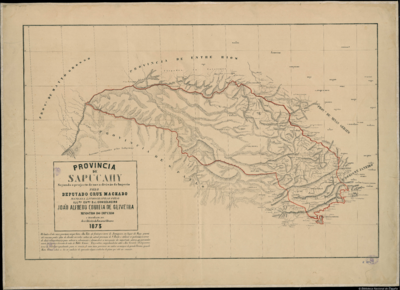
Pueblos
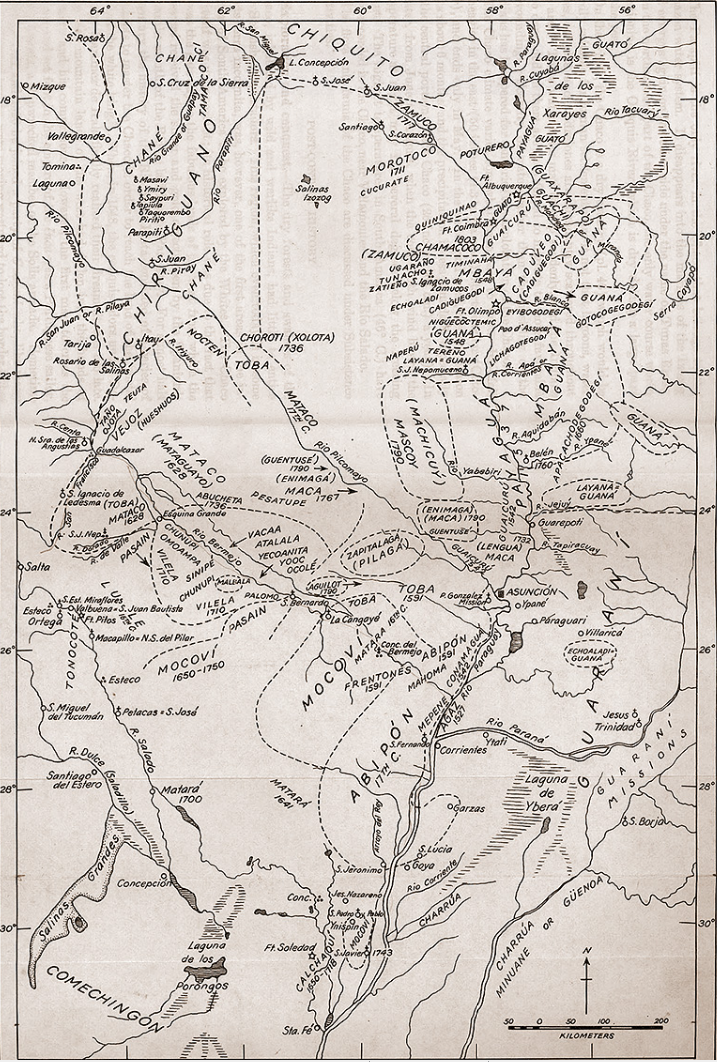
- ABACARUAS
- ACURIAS
- AMICOUANES
- AMOZANAS
- APAMAS
- ARAMICHAUX
- ARINACOTOS
- ARWACAS
- ATURAYOS
- ATURES
- BARINAGOTOS
- CARIANAS
- CARIBES
- CARINACOS
- CARPINAS
- COGENAS
- CONDURISES
- COPARIPUCU
- CUCHIVARAS
- CUSARI
- DEESANAS
- ENGAYABAS
- GALIBIS
- GUACARAYOS
- IDAPIDANOS
- JAMUNDASES
- KIRIKIRISCOTOS
- MACA
- MACIKINAVI
- MACUSIA
- MACUSIS
- MAGUISAS
- MANETIBITAN
- MAQUIRITARI
- MAREBITANNA
- MARIPISANAS
- MARUCOTOS
- MAYES
- MERCIOUX
- NOURAGUES
- OCOMESIANAS
- PALICOURS
- PARAGUANAS
- PARAVENAS
- PIRIOUS
- PURUGOTOS
- QUIRIQUIRIPAS
- TARUMAS
- TOHAZANNA
- TOPINAMBAS
- TUHERE
- URUBAQUIS
- YABACUYANAS
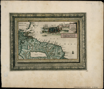
Cita
Houdan, François d', Carte de la Guiane française... / D'Houdan sculpsit. Gallica. Last modified: October 29, 2012. Accessed, July 17, 2023. https://gallica.bnf.fr/ark:/12148/btv1b84908825