Dispossesions in the Americas

Dispossesions in the Americas

  • Inicio
  • Explorar
  • Autores
  • Sobre
  • Arte
  • Cuerpos
  • Planes de Estudio
  • Herencia Cultural
  • Mapas
  • Territorios
Volver a Explorar

Leyendo en Inglés

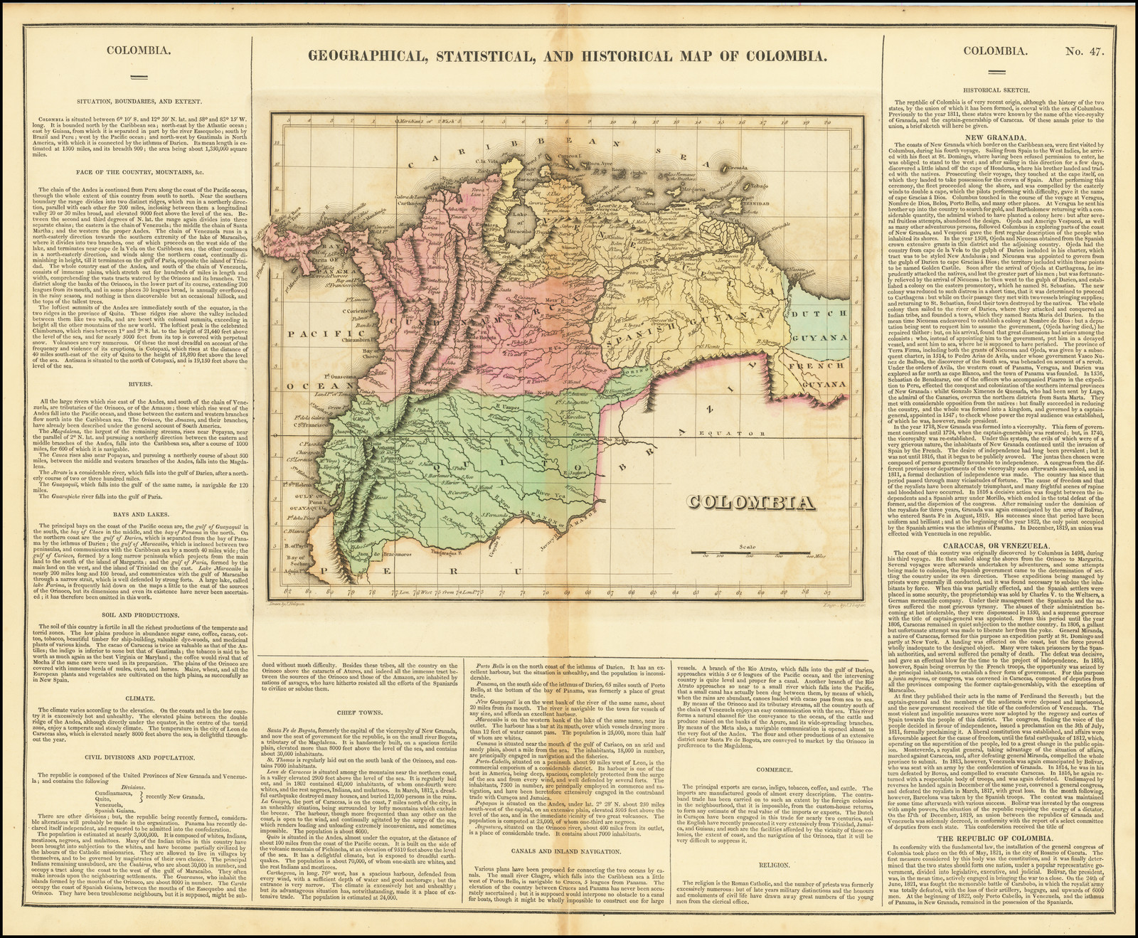
Mapa 1822

GEOGRAPHICAL, STATISTICAL AND HISTORICAL MAP OF COLOMBIA

  • CAREY, HENRY CHARLES, ET AL.

Publicado: 1822

  • Descargar Imágen
  • Descargar Imágen
Mapa 1822

GEOGRAPHICAL, STATISTICAL AND HISTORICAL MAP OF COLOMBIA

  • CAREY, HENRY CHARLES, ET AL.

Publicado: 1822

  • Descargar Imágen

Pueblos

  • COAHIROS
  • GUARAUNOS
  • CARIBS

Citas

Carey, Henry Charles, and Isaac Lea. Geographical, Statistical and Historical Map of Colombia. Map. Philadelphia: H. C. Carey & I. Lea, 1822. Accessed July 6, 2023. https://www.raremaps.com/gallery/detail/72002/geographical-statistical-and-historical-map-of-colombia-carey-lea.
  • Descargar Imágen

Artículos Relacionados

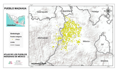
PUEBLO CHONTAL DE TABASCO

PUEBLO CHONTAL DE TABASCO

Mapa 2020
REPÚBLICA BOLIVARIANA DE VENEZUELA PUEBLOS Y COMUNIDADES INDÍGENAS

REPÚBLICA BOLIVARIANA DE VENEZUELA PUEBLOS Y COMUNIDADES INDÍGENAS

Mapa 2004
GEOGRAPHISCHE KARTE DER PROVINZ VON SÃO JOZÉ DO PIAUHY. Carte Géographique de PIAUHY, Province de l'Empire du Brésil

GEOGRAPHISCHE KARTE DER PROVINZ VON SÃO JOZÉ DO PIAUHY. Carte Géographique de PIAUHY, Province de l'Empire du Brésil

Mapa 1828
PINTURA DE GUEGUETLÁN

PINTURA DE GUEGUETLÁN

Mapa 1500 - 1599
Indigenous Groups of the Caribbean

Indigenous Groups of the Caribbean

Mapa
Paraguay, ó prov. de Rio de la Plata cum regionibus adiacentibus Tucuman et Sta. Cruz de la Sierra

Paraguay, ó prov. de Rio de la Plata cum regionibus adiacentibus Tucuman et Sta. Cruz de la Sierra

Mapa 1633
Carte de la Coste de Cayenne.

Carte de la Coste de Cayenne.

Mapa 1600 - 1699
Intendencias y gobiernos militares de la Nueva España en 1800

Intendencias y gobiernos militares de la Nueva España en 1800

Mapa 1800

Despojos en las Américas

Un Proyecto de

University of Pennsylvania

Copyright 2024

Con el apoyo de

Mellon Foundation

Diseño y Desarrollo del Sitio

Element 84

Créditos Artísticos

Carey, Henry Charles, and Isaac Lea. Geographical, Statistical and Historical Map of Colombia. Map. Philadelphia: H. C. Carey & I. Lea, 1822. Accessed July 6, 2023. https://www.raremaps.com/gallery/detail/72002/geographical-statistical-and-historical-map-of-colombia-carey-lea.
Páginas del Sitio

  • Inicio
  • Explorar
  • Autores
  • Sobre
  • Arte
  • Cuerpos
  • Planes de Estudio
  • Herencia Cultural
  • Mapas
  • Territorios