Pueblos
- MARONES
- COUSSARI
- ARINAGOTES
- MOROUX
- MUCHIKERI
- ACAMACORI
- OMAGUAS
- TECUNAS
- CHEVELUS
- QUIXOS
- PACAMORES
- MAYNAS
- ABIGIRAS
- PLATEROS
- MAUMAS
- PAGUANAS
- TIPUNAS
- CURAZIRA
- CURIGUERO
- MAIAYUS
- GUAYAZIS
- TAPAJOSOS
- GUARAOCAS
- TAPUYERS
- TAPUYERES
- MOXOS
- TUPINIMBES
Cita
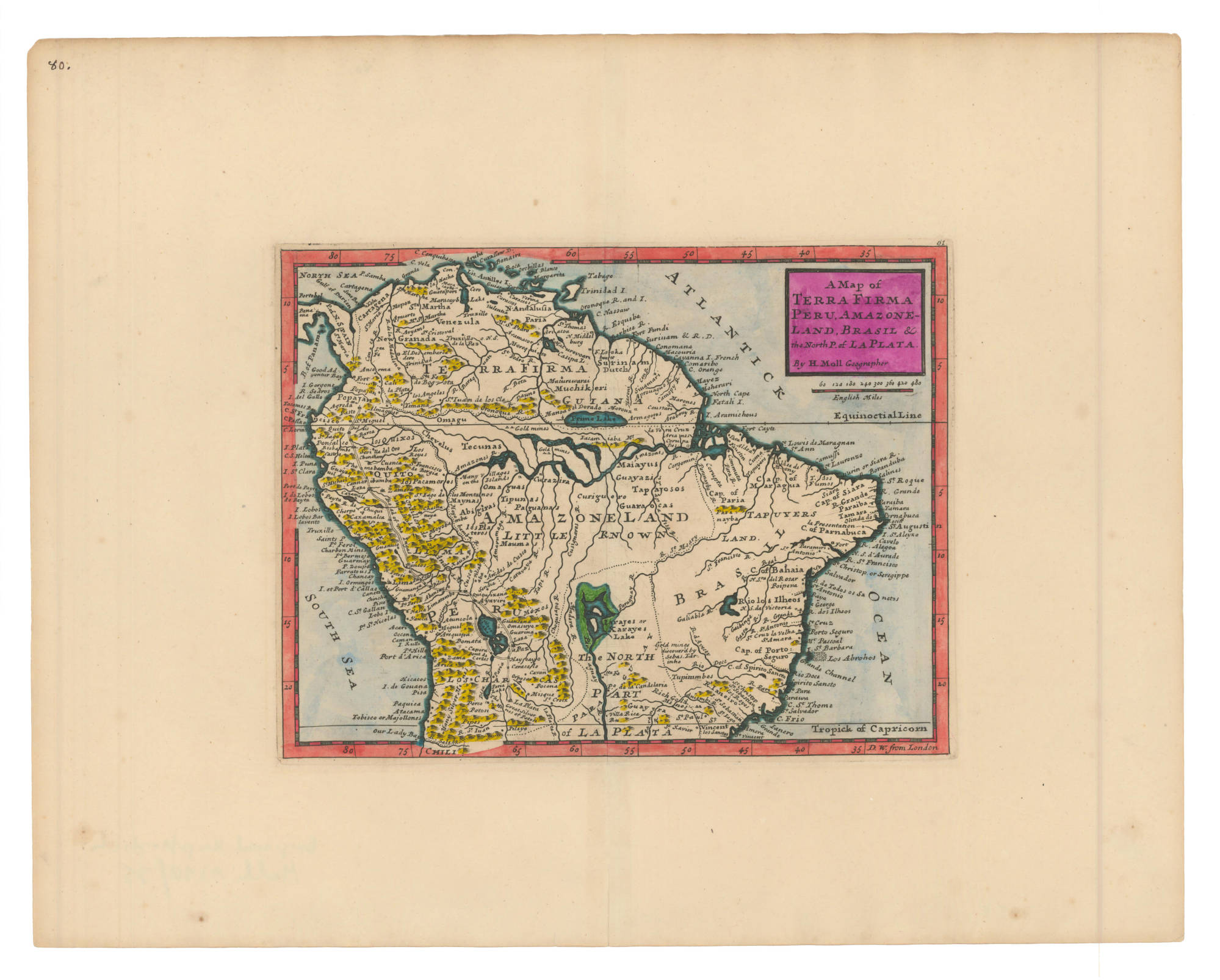
Moll, Herman. A Map of Terra Firma Peru, Amazoneland, Brasil and the North P. of La Plata. Map. London, 1736. Accessed July 6, 2023. https://babel.banrepcultural.org/digital/collection/p17054coll13/id/6/rec/4.