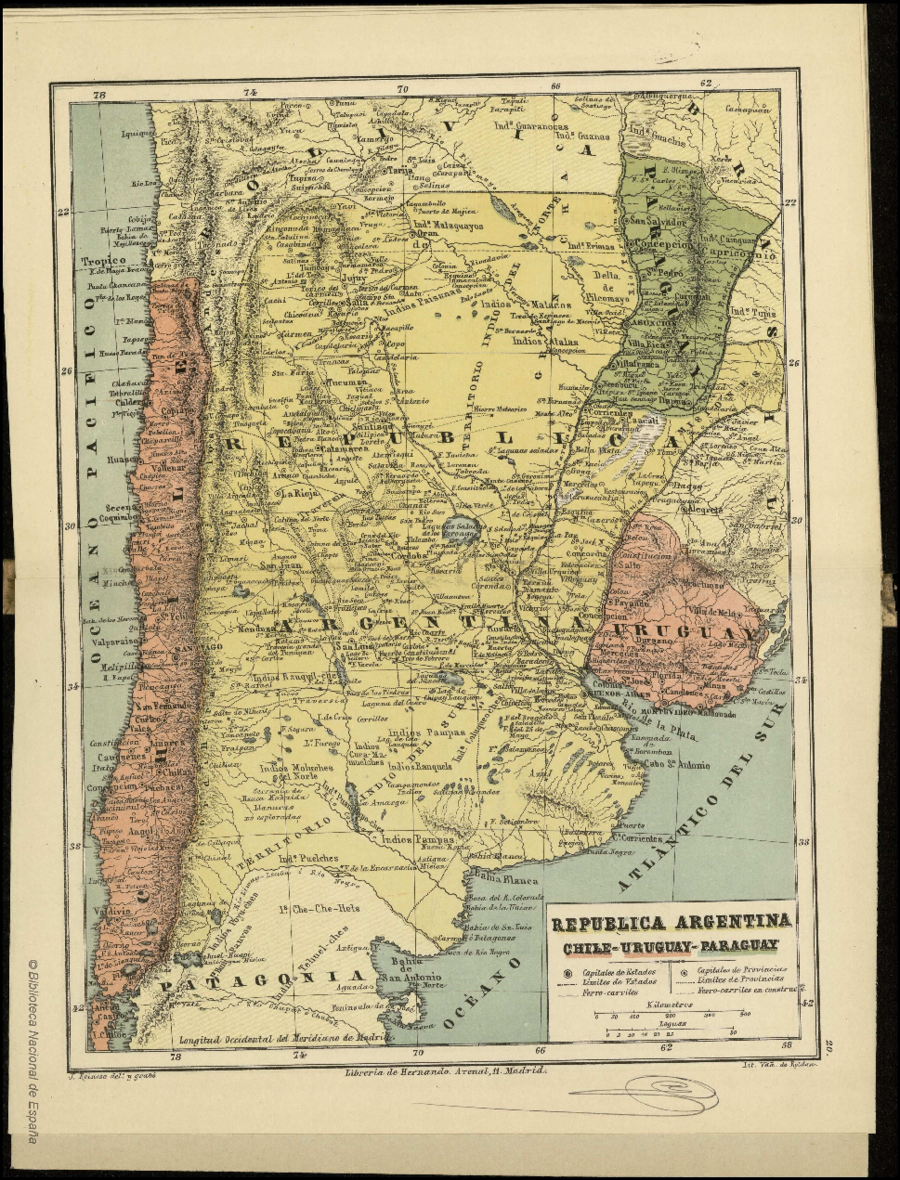
Dispossesions in the Americas

Dispossesions in the Americas

  • Inicio
  • Explorar
  • Autores
  • Sobre
  • Arte
  • Cuerpos
  • Planes de Estudio
  • Herencia Cultural
  • Mapas
  • Territorios
Volver a Explorar

Leyendo en Inglés

Mapa 1884

REPUBLICA ARGENTINA CHILE-URUGUAY-PARAGUAY

  • REINOSO;JOSE

Publicado: 1884

  • Descargar Imágen
  • Descargar Imágen
Mapa 1884

REPUBLICA ARGENTINA CHILE-URUGUAY-PARAGUAY

  • REINOSO;JOSE

Publicado: 1884

  • Descargar Imágen

Pueblos

  • GUARANOCA
  • GUANA
  • GUACHIS
  • PAI TAVYTERA
  • ERIMAS
  • MATACO
  • ATALALA
  • TUPY
  • PAISANAS
  • COLUQUEOCHES
  • RANQUELS
  • PAMPAS
  • CURA-MA-MUELCHES
  • RANQUIL-CHES
  • MOLUCHES DEL NORTE
  • PUANMAPO-CHES
  • POYU-CHES
  • HUILI PAUVOS
  • PUELCHES
  • CHE-CHE-HETS
  • TECHUEL-CHES

Cita

Reinoso, José. "República Argentina Chile-Uruguay-Paraguay." Map. In Atlas Geográfico Universal en veinte mapas arreglados al meridiano del Madrid, 44. Madrid: Imprenta y Libreria de D.G. Hernando, 1884. Accessed April 26, 2023. http://bdh-rd.bne.es/viewer.vm?id=0000001196.

  • Descargar Imágen

Leyendo en Portugués

Mapa 1884

REPUBLICA ARGENTINA CHILE-URUGUAY-PARAGUAY

  • REINOSO;JOSE

Publicado: 1884

  • Descargar Imágen

Pueblos

  • GUARANOCA
  • GUANA
  • GUACHIS
  • PAI TAVYTERA
  • ERIMAS
  • MATACO
  • ATALALA
  • TUPY
  • PAISANAS
  • COLUQUEOCHES
  • RANQUELS
  • PAMPAS
  • CURA-MA-MUELCHES
  • RANQUIL-CHES
  • MOLUCHES DEL NORTE
  • PUANMAPO-CHES
  • POYU-CHES
  • HUILI PAUVOS
  • PUELCHES
  • CHE-CHE-HETS
  • TECHUEL-CHES

Cita

Reinoso, José. "República Argentina Chile-Uruguay-Paraguay." Map. In Atlas Geográfico Universal en veinte mapas arreglados al meridiano del Madrid, 44. Madrid: Imprenta y Libreria de D.G. Hernando, 1884. Accessed April 26, 2023. http://bdh-rd.bne.es/viewer.vm?id=0000001196.

  • Descargar Imágen

Artículos Relacionados

States in Guatemala and el Salvador on the Eve of Spanish Conquest.

States in Guatemala and el Salvador on the Eve of Spanish Conquest.

Mapa 1524
Indian Languages, Late 16th Century, (According to Ponce and Viana).

Indian Languages, Late 16th Century, (According to Ponce and Viana).

Mapa 1500
Het Goudryk gewest Guiana tot de Drywerfze Scheepstogten.

Het Goudryk gewest Guiana tot de Drywerfze Scheepstogten.

Mapa 1700 - 1799
BRASILIA ET PERUVIA

BRASILIA ET PERUVIA

Mapa 1500 - 1599
Serie Historia de la peruvian corporaishion

Serie Historia de la peruvian corporaishion

Obra de Arte
Carte particulière des costes de la Capitainerie de Siara au Brésil

Carte particulière des costes de la Capitainerie de Siara au Brésil

Mapa 1700 - 1750
Reclamo de la Comunidad Indígena Negra Creole de Bluefields y Territorio Títulados en la RAAS.

Reclamo de la Comunidad Indígena Negra Creole de Bluefields y Territorio Títulados en la RAAS.

Mapa 2000
Seropositivo - No positivo

Seropositivo - No positivo

Obra de Arte

Despojos en las Américas

Un Proyecto de

University of Pennsylvania

Copyright 2024

Con el apoyo de

Mellon Foundation

Diseño y Desarrollo del Sitio

Element 84

Créditos Artísticos

Reinoso, José. “República Argentina Chile-Uruguay-Paraguay.” Map. In Atlas Geográfico Universal en veinte mapas arreglados al meridiano del Madrid, 44. Madrid: Imprenta y Libreria de D.G. Hernando, 1884. Accessed April 26, 2023. http://bdh-rd.bne.es/viewer.vm?id=0000001196.

Páginas del Sitio

  • Inicio
  • Explorar
  • Autores
  • Sobre
  • Arte
  • Cuerpos
  • Planes de Estudio
  • Herencia Cultural
  • Mapas
  • Territorios