Pueblos
- CHIQUITOS
- GUAYCURUS
- MOCOBIOS
- ABIPONES
- CHIRIGUANO
- TOBAS
Cita
Library of Congress Geography and Map Division, G5202.R5 1856 .P3 https://hdl.loc.gov/loc.gmd/g5202r.fi000158
NOVA CARTA COROGRAPHICA DO IMPERIO DO BRAZIL
Mapa 1857
FAMILIAS LINGUISTICAS Y LENGUAS INDIGENAS - SEGUNDA REGION: SUR ANDINO
Mapa 1989
The Marañon or Amazon River with the Mission of the Society of Jesus
Mapa 1686 - 1707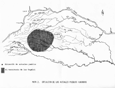
MAPA 2. UBICACIÓN DE LOS ACTUALES PUEBLOS HUAORANI
Mapa 1981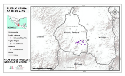
PUEBLO NAHUA DE MILPA ALTA
Mapa 2020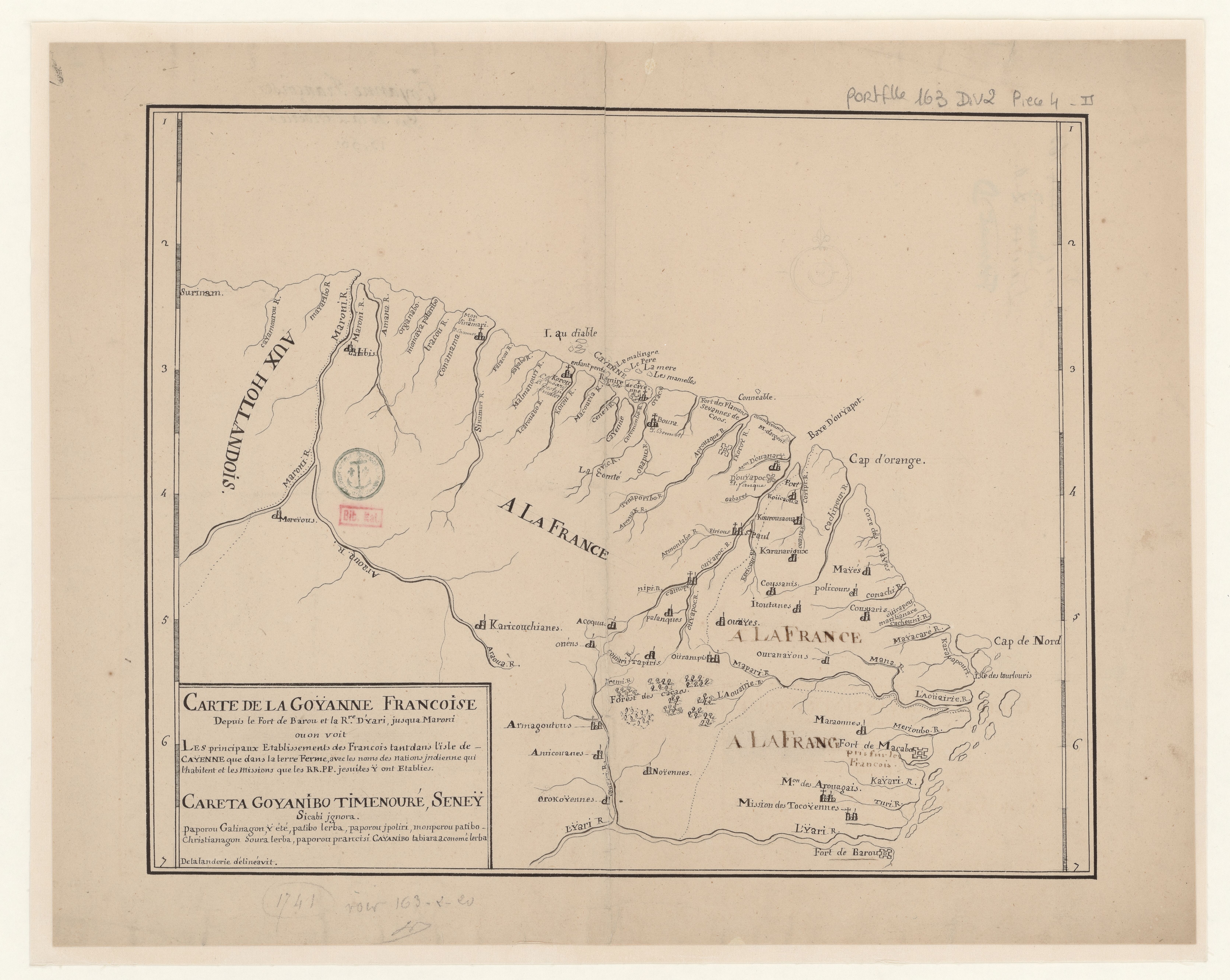
Carte de la Goÿanne francoise depuis le fort de Barou et la Rre. D'yari, jusqua Maroni ou on voit les principaux établissements des Francois tant das l'isle de Caÿenne que dans la terre ferme, avec les noms des nations indienne qui habitent et les missions que le RR.PP y ont établies.
Mapa 1741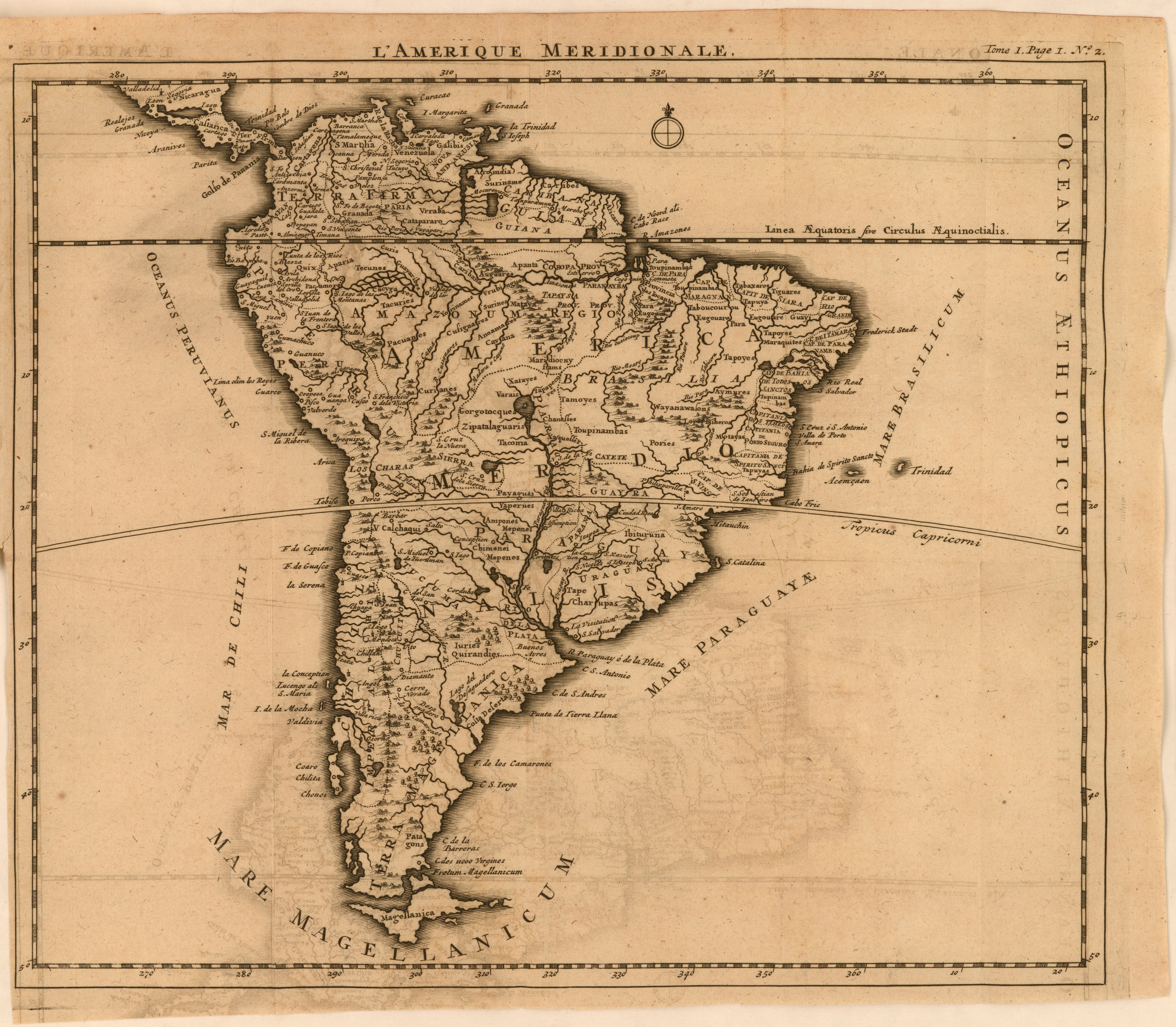
L'Amerique meridionale
Mapa 1650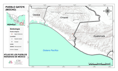
PUEBLO QATO'K
Mapa 2020