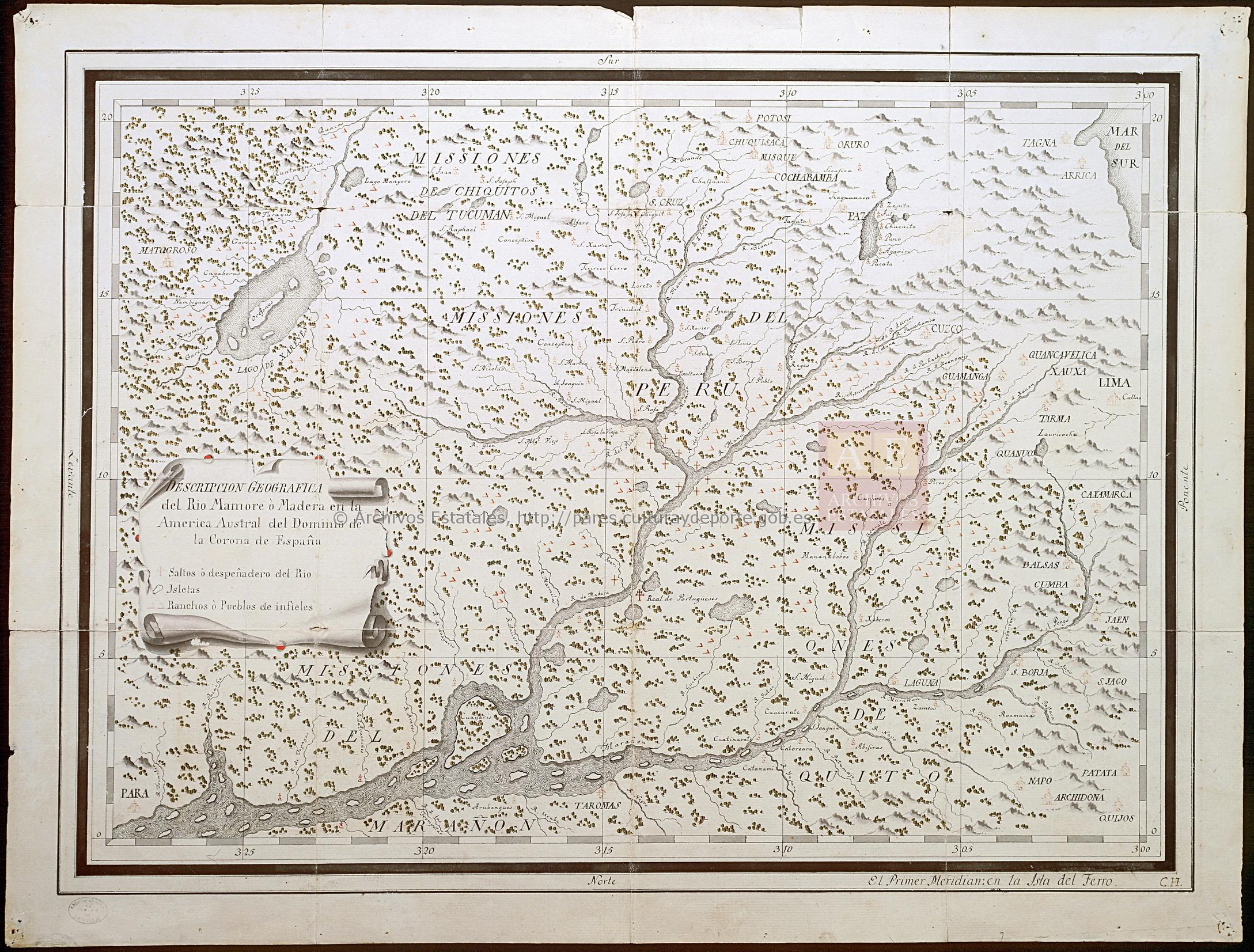
Pueblos
- QUIJOS
- CHIQUITOS
- OREJONES
- RANCHOS O PUEBLOS DE INFIELES
Cita
Archivo General de Indias, MP-BUENOS_AIRES, 145 http://pares.mcu.es:80/ParesBusquedas20/catalogo/description/16960
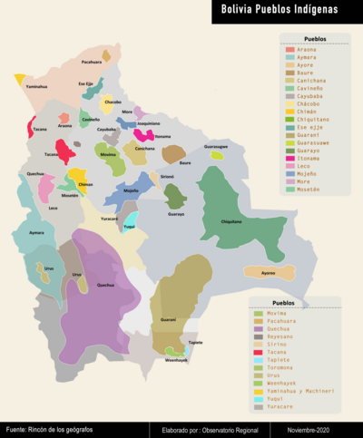
Bolivia Pueblos Indígenas
Mapa 2020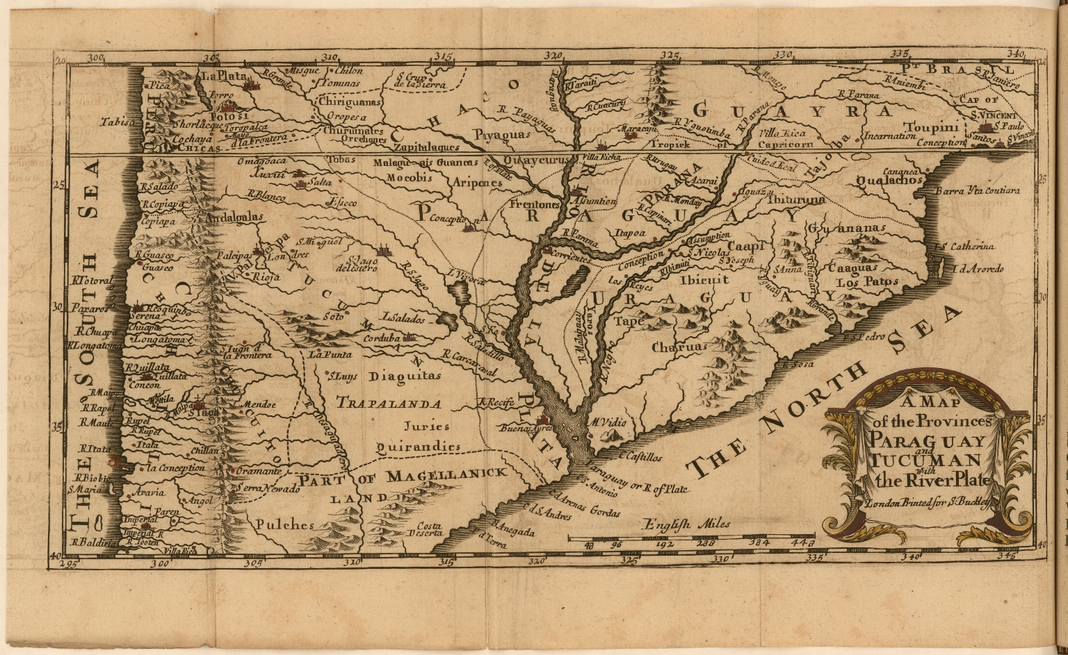
A Map of the Provinces Paraguay and Tucuman with the River Plate
Mapa 1698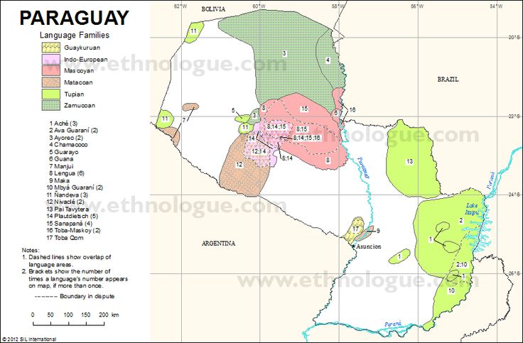
PARAGUAY Language Families
Mapa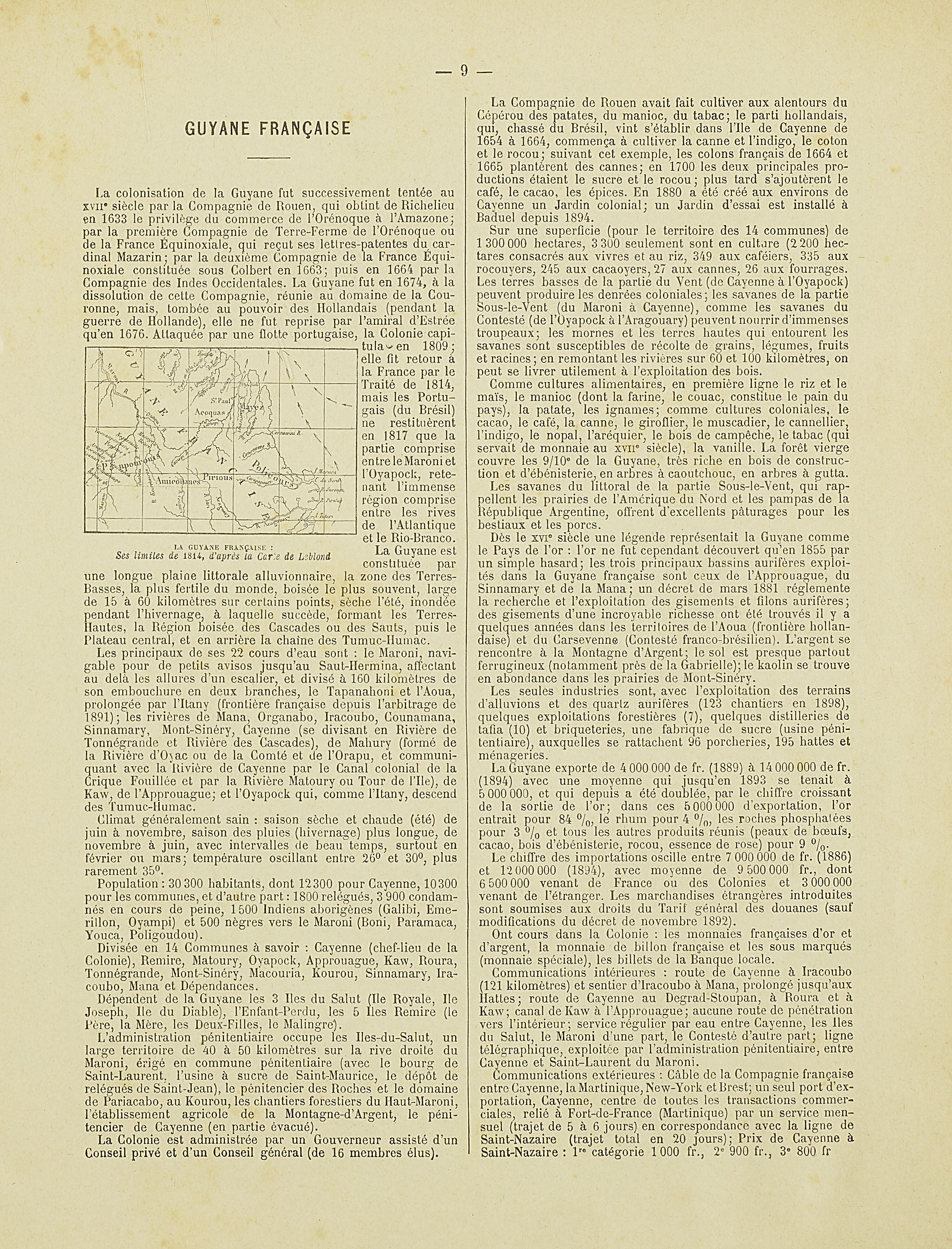
La Guyane française : Ses limited de 1814, d'après la carte de Leblond.
Mapa 1814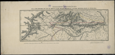
BORRADOR TOPOGRÁFICO DE LA LÍNEA DIVISORIA, QUE CITA EL ARTÍCULO 12º DEL TRATADO PRELIMINAR, Y AJUSTADAS DISTANCIAS HASTA SU PUNTO FINAL
Mapa 1800 - 1850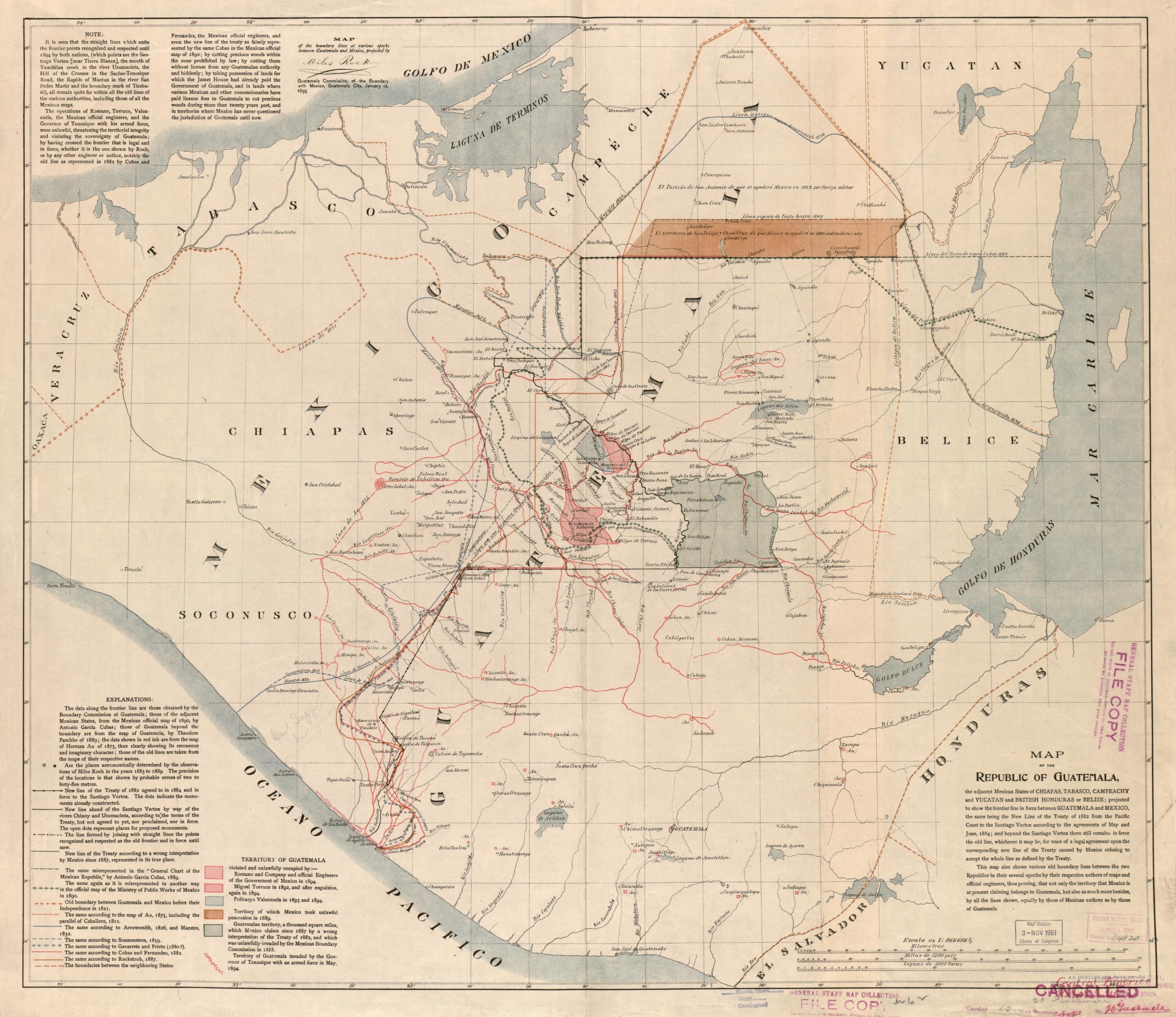
Map of the Republic of Guatemala
Mapa 1800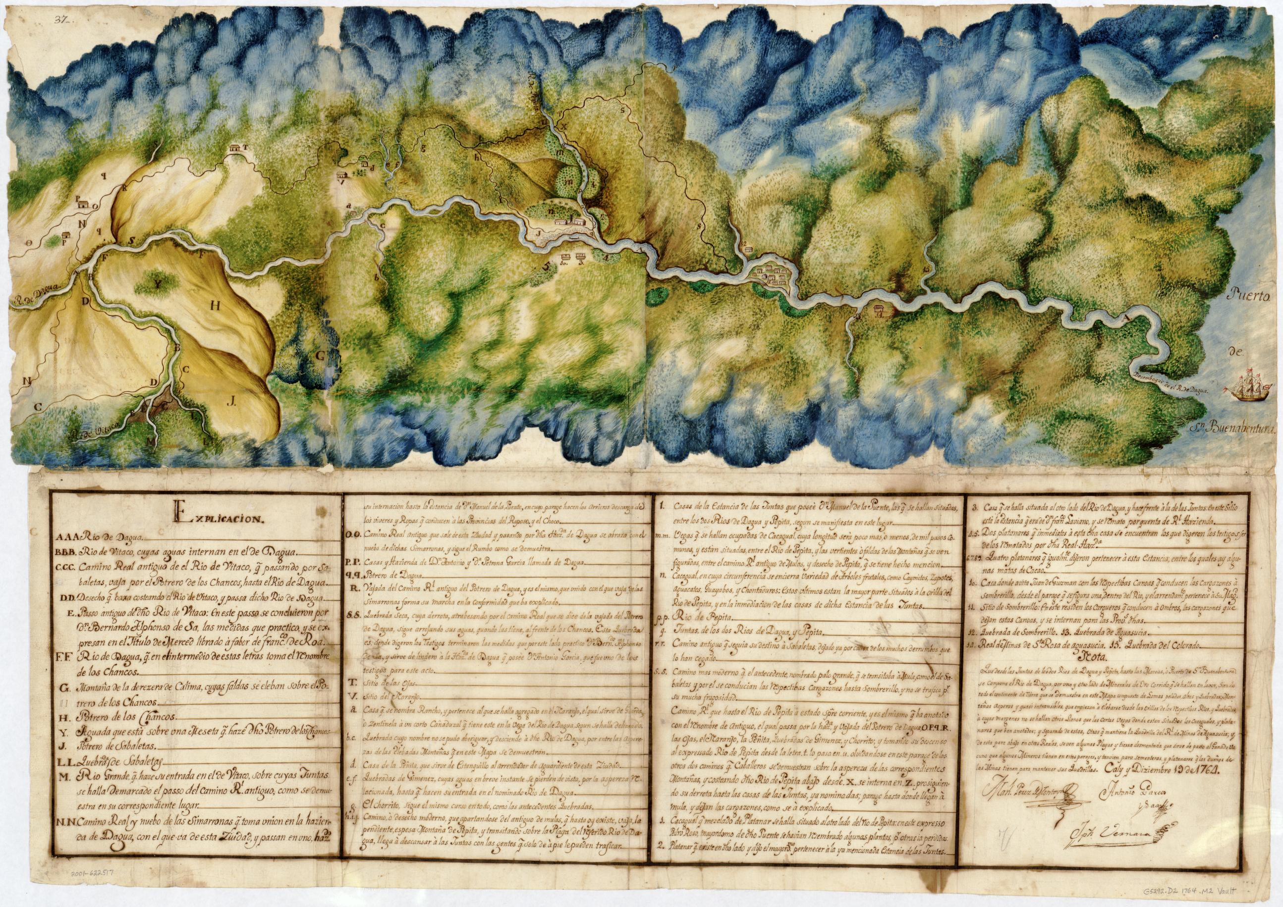
Manuscript Map of the Dagua River Region
Mapa 1764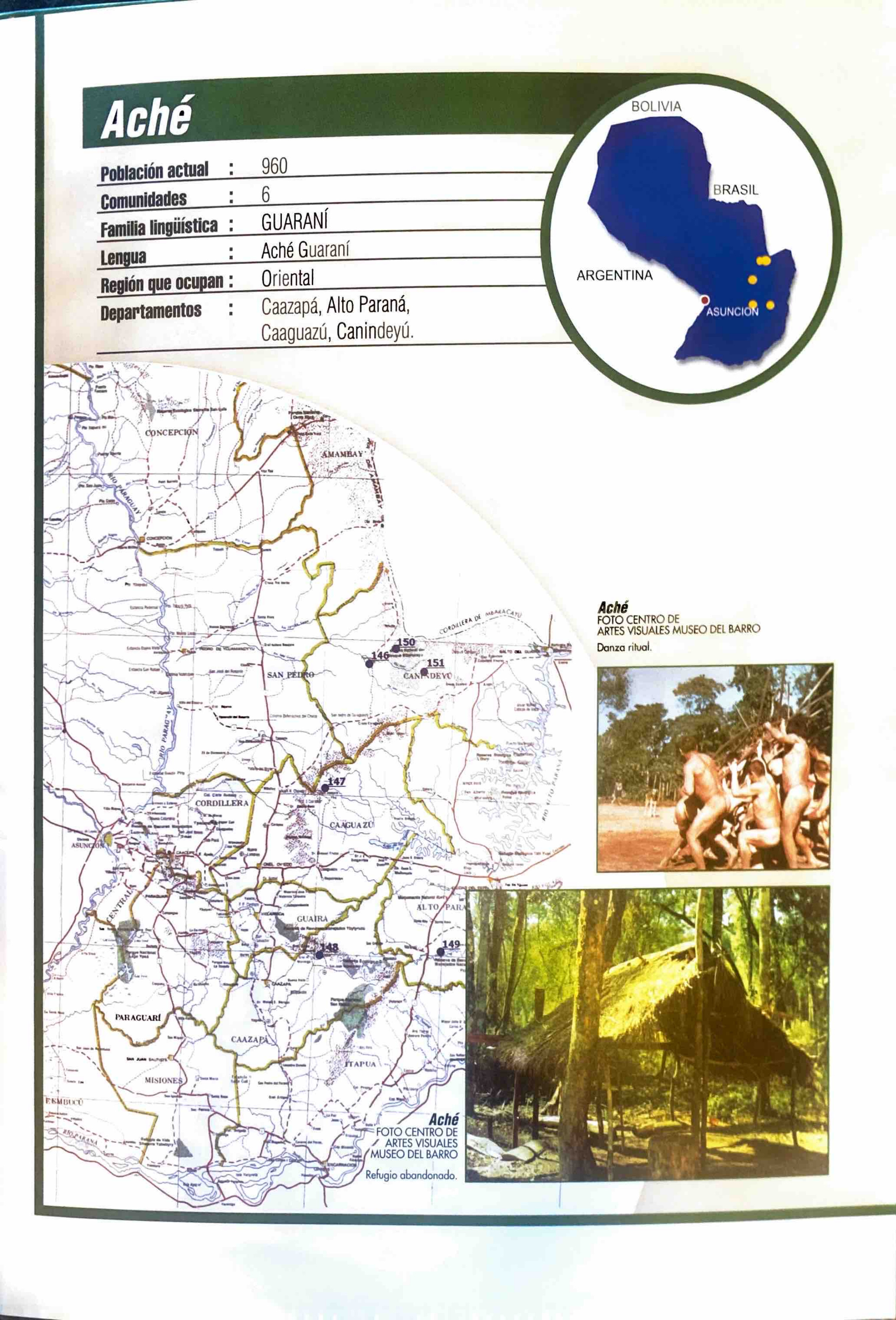
Aché
Mapa 2001