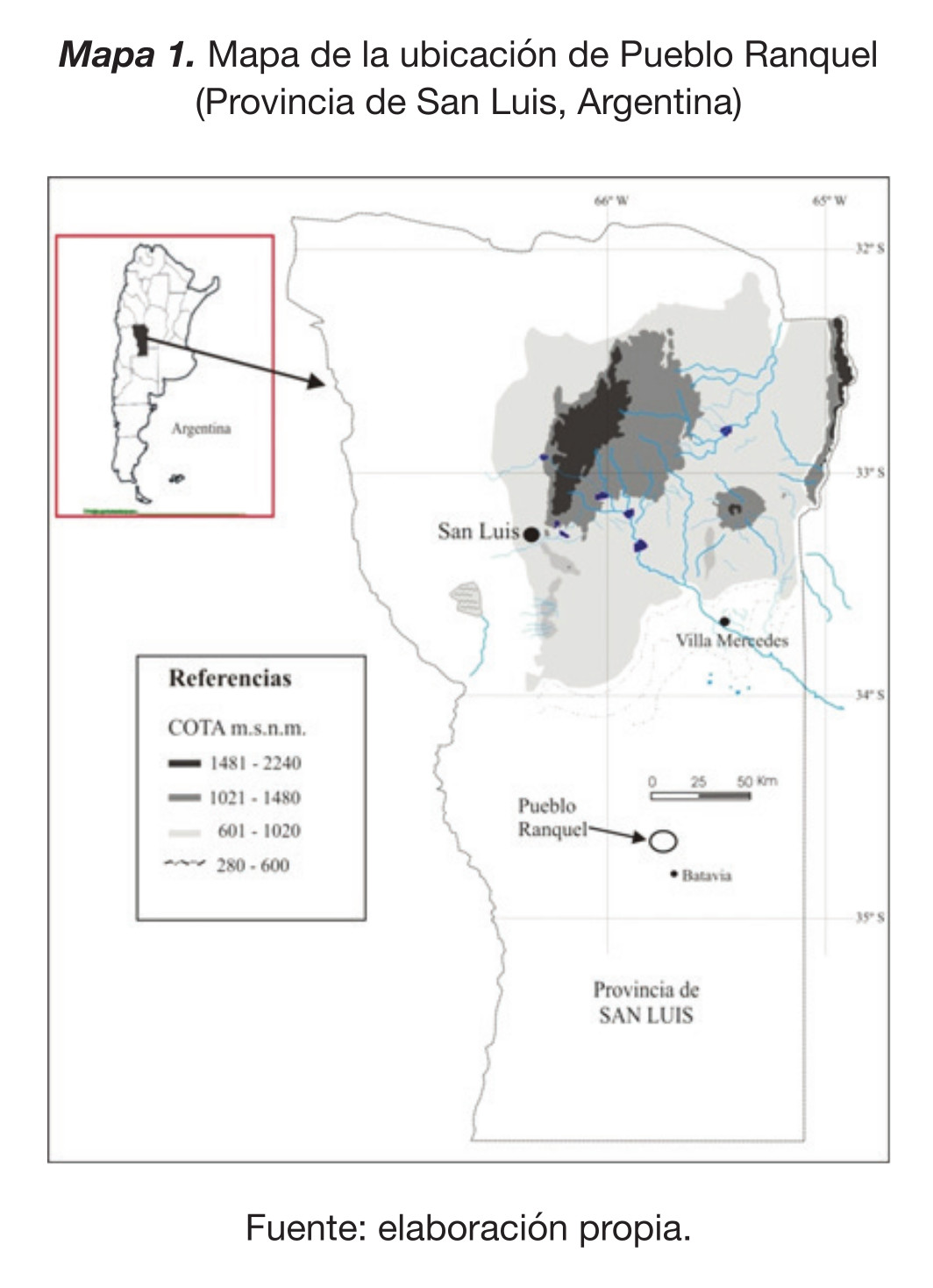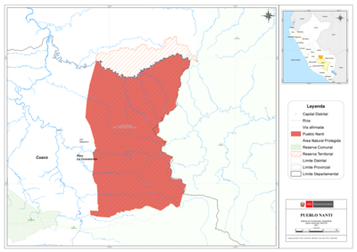
Pueblos
- MARIUSA
Cita
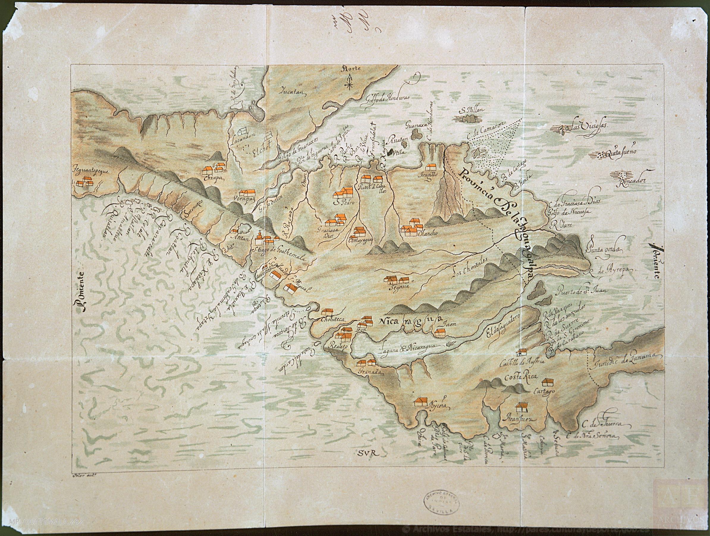
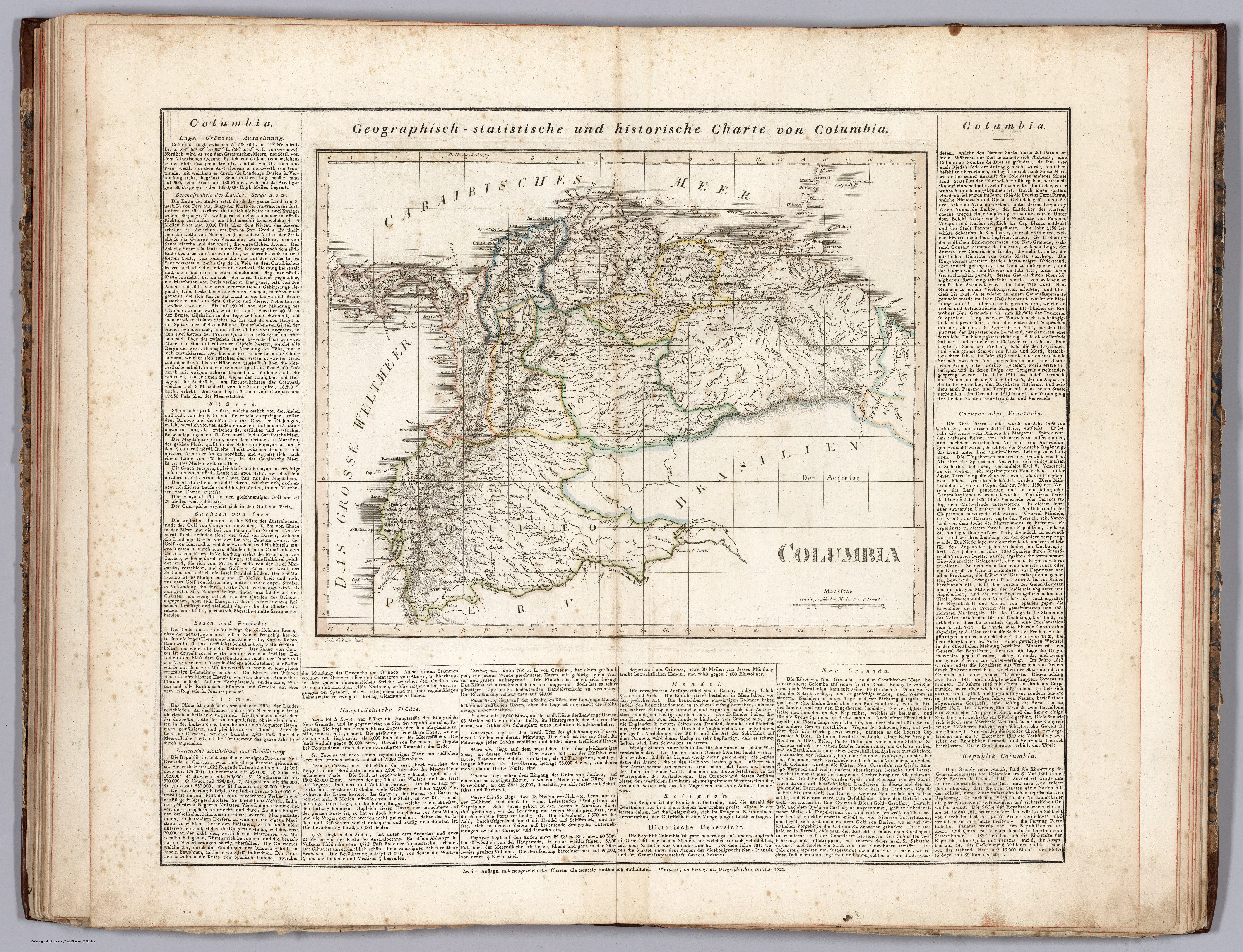
Weiland, Carl Ferdinand, and Georg Hassel. Columbia. Map. Weimar: Geographischen Instituts, 1824. Accessed November 20, 2022. https://www.davidrumsey.com/luna/servlet/detail/RUMSEY~8~1~297495~90069118:Columbia-?sort=pub_list_no_initialsort%2Cpub_date%2Cpub_list_no%2Cseries_no.