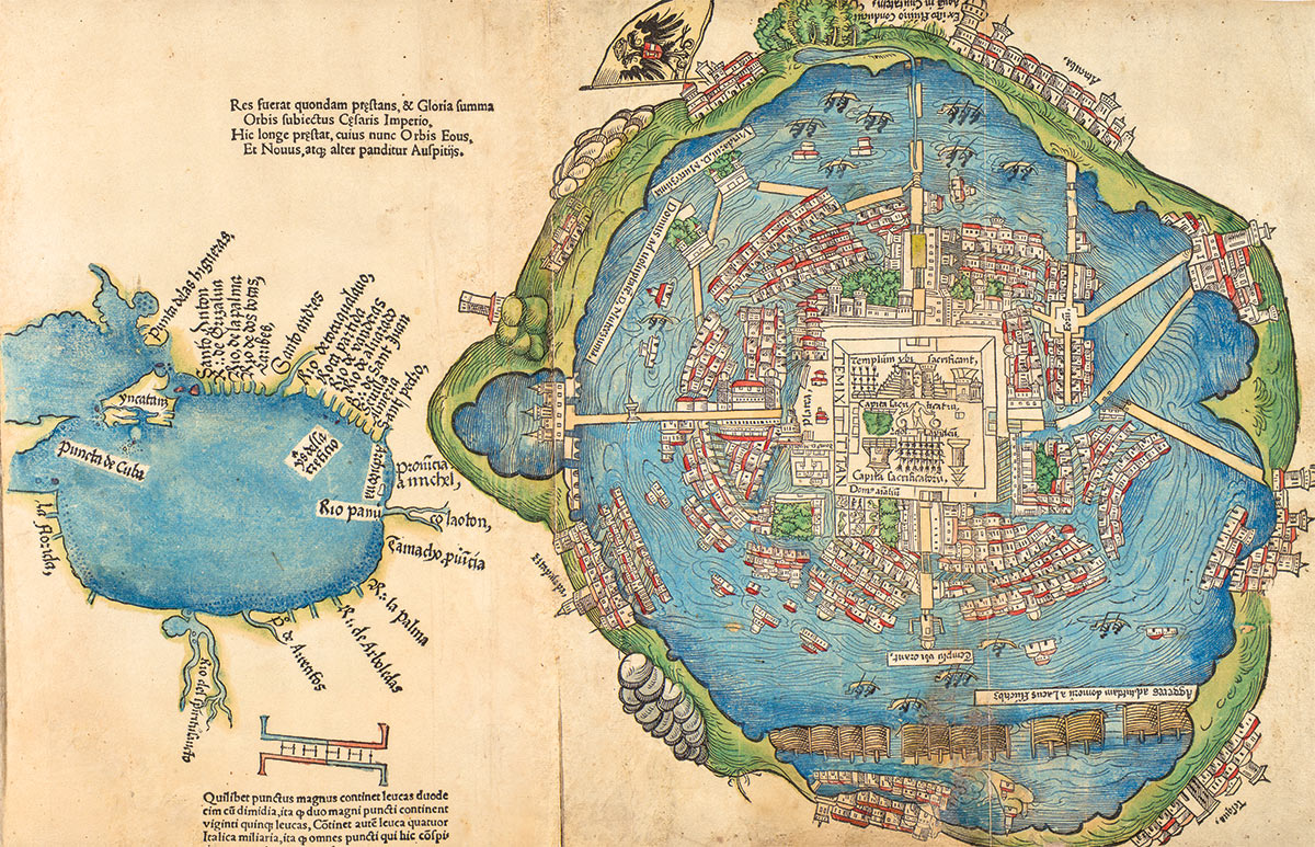
Pueblos
- GALIBIS
- EMERILLONS
- OYAMPIS
- MANAOS
- TAPIRAPEQUES
- MUNDRUCUS
- PARESIS
- BOROROS
- PEREGUANOS
- CURROYENOS
- CHORARACUS
- CHIRIVONES
- IBITAYAS
- IGARONES
- CAMACULAS
- AYUQUILITERAS
- AGUSE
- BOYAUNAS
- GUAROCANOS
- CHIQUINOS
- AGUAYES
- OJOTUTAS
- TOBETIONOS
- MONGOLAS
- TAPES
- TRACANOS
- ABIPONES
Cita
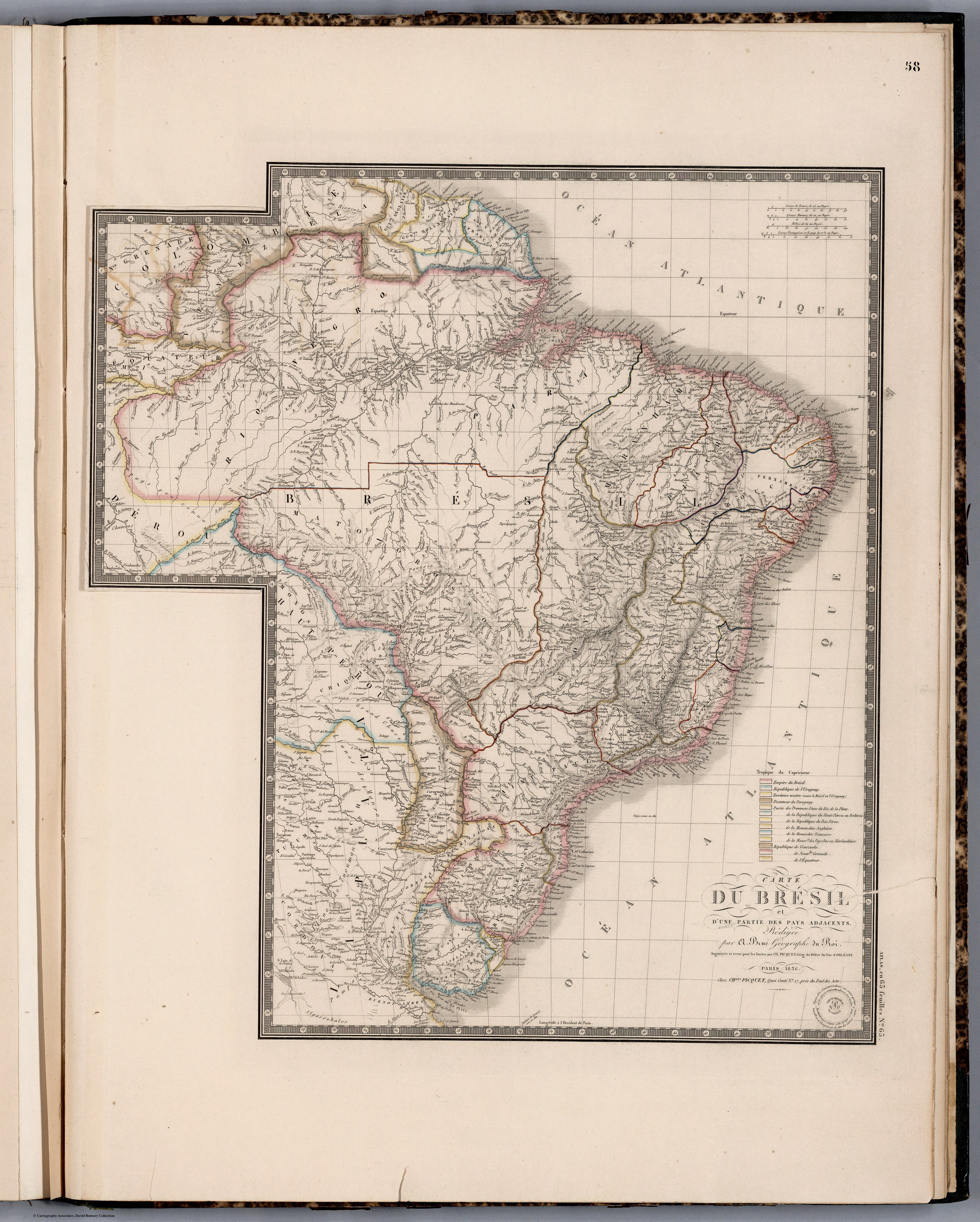
Picquet, Chles, and Brue. Carte du Bresil. Map. Chez J. Andriveau-Goujon, 1836. Accessed April 30, 2022. https://www.davidrumsey.com/luna/servlet/detail/RUMSEY~8~1~284532~90057074:Carte-du-Bresil-?sort=pub_list_no_initialsort%2Cpub_list_no_initialsort%2Cpub_date%2Cpub_date&qvq=w4s:/where%2FURU,sort:pub_list_no_initialsort%2Cpub_list_no_initialsort%2Cpub_date%2Cpub_date,lc:RUMSEY~8~1&mi=36&trs=95.