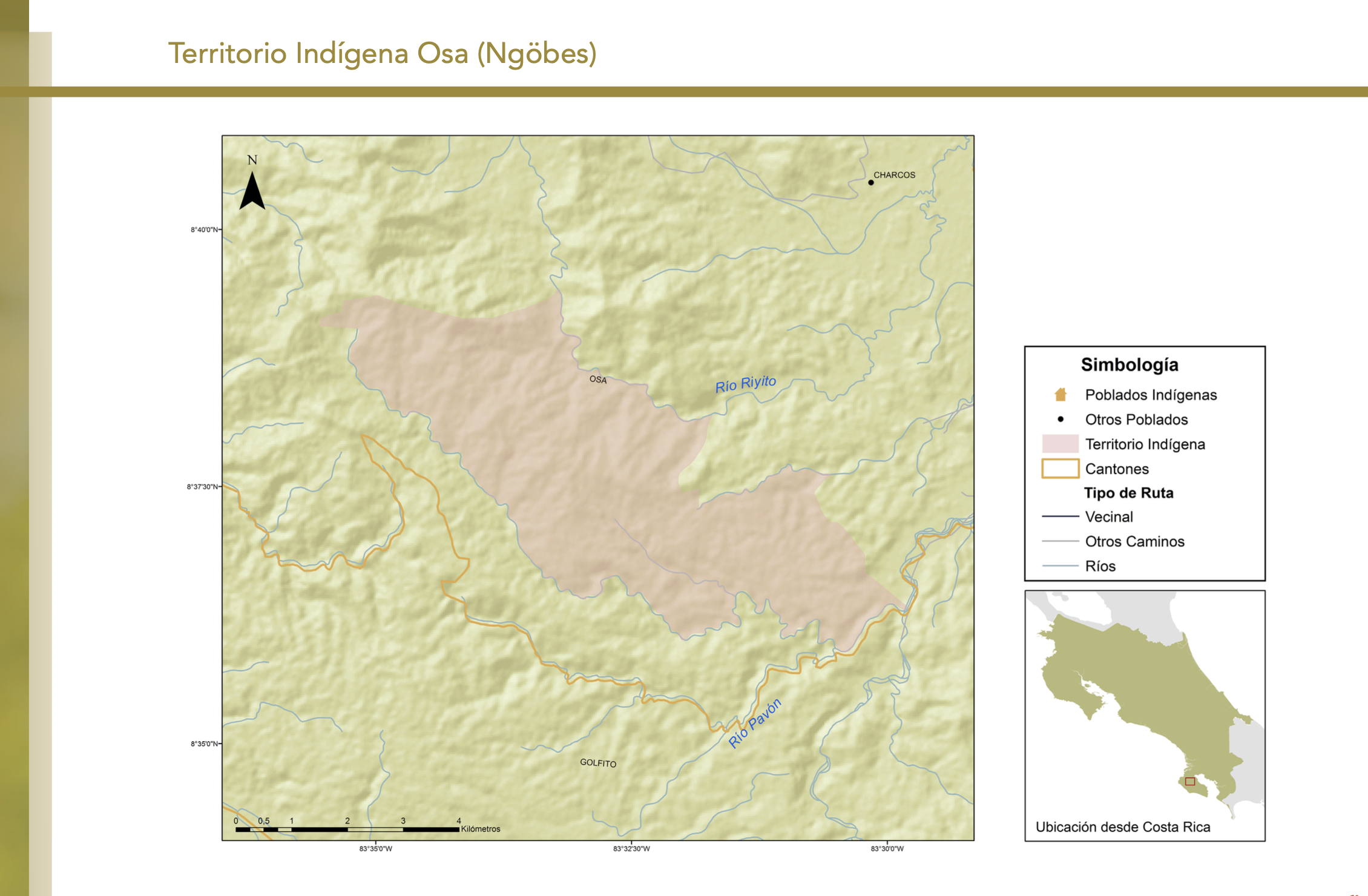
Pueblos
- PUELCHES
Cita
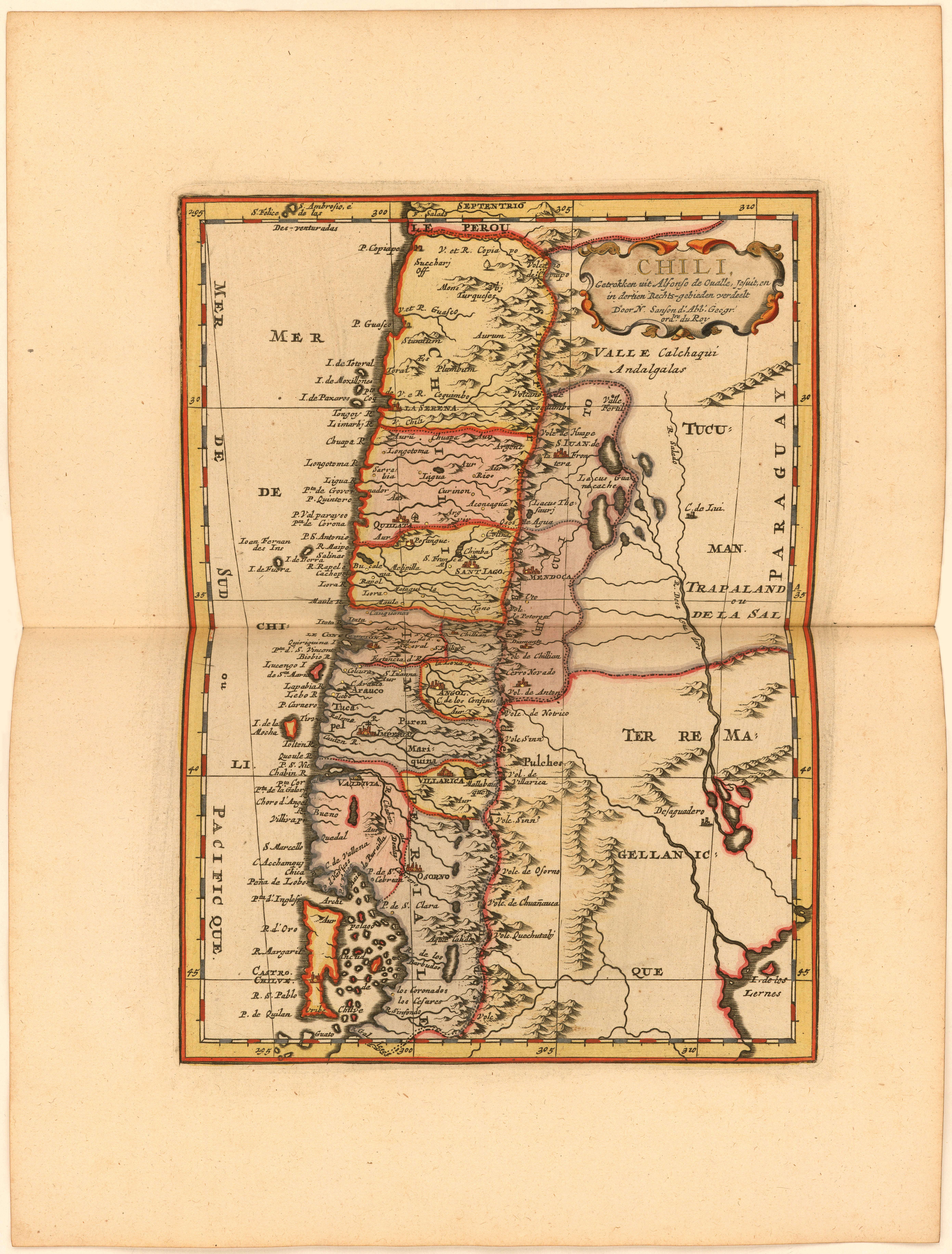
La Croix, Phérotée de. "Chili, Getrokken uit Alfonso de Ovalle, Jesuit, en in dertien Rechts-gebieden verdeelt Door N. Sanson d.'Abb. Geogr. ordre. du Roy." Map. 1705. https://jcb.lunaimaging.com/luna/servlet/detail/JCBMAPS~1~1~6399~115902585:Chili,-Getrokken-uit-Alfonso-de-Ova?sort=normalized_date%2Cfile_name%2Csource_author%2Csource_title#
![Tawahka homeland, 1916: Showing Río Wampú (Wanpo), Río Patuca (Butuk), Cerro Quigungun (Wangkibila Volc [anol]), and the first cartographical rendering of Krautara (Moravian Archives, Bethlehem, Pennsylvania, Heath 1916)](https://dnet8ble6lm7w.cloudfront.net/maps_sm/HON/HON0014.png)
![Carte de la Guyane française (2ème édition). Service géographique des colonies. [Feuille 1]](https://dnet8ble6lm7w.cloudfront.net/maps_sm/FGU/FGU0011-0.png)