Pueblos
- PUELCHES
- POYAS
Cita
Jesuits. "Côte du Perou." Map. 1707. Accessed March 10, 2022. https://jcb.lunaimaging.com/luna/servlet/detail/JCBMAPS~1~1~6170~115902293:C%C3%B4te-du-Perou?sort=normalized_date%2Cfile_name%2Csource_author%2Csource_title#
Los a'i como área cultural chibcha
Mapa 1997
Intendencias y gobiernos militares de la Nueva España en 1800
Mapa 1800
Côtes du Brésil de Bahia de todos los Sancts à Spirito Santo
Mapa 1779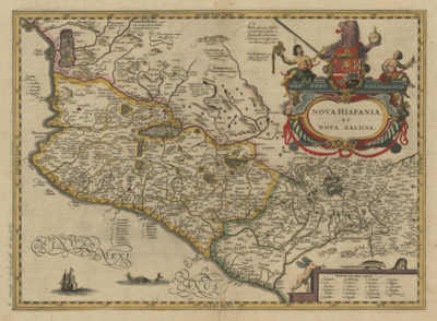
Nova Hispania et Nova Galicia
Mapa 1636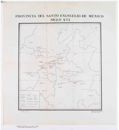
Provincia del Santo Evangelio de Mexico
Mapa 1500 - 1599
A Map of part of Yucatan or of that Part of the Eastern Shore Within the Bay of Honduras Alloted to Great Britain for the Cutting of Logwood, in consequence of the Convention Signed with Spain on the 14th July 1786.
Mapa 1700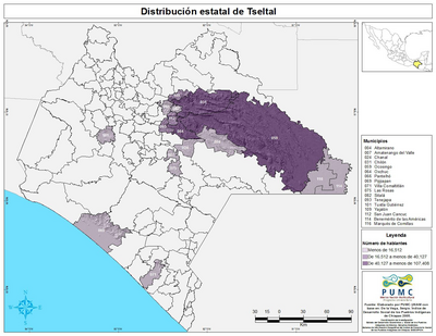
Distribución estatal de Tseltal
Mapa 2005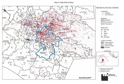
REGIÓN ALTOS DE CHIAPAS
Mapa 2000