Pueblos
- RAPA NUI
Cita
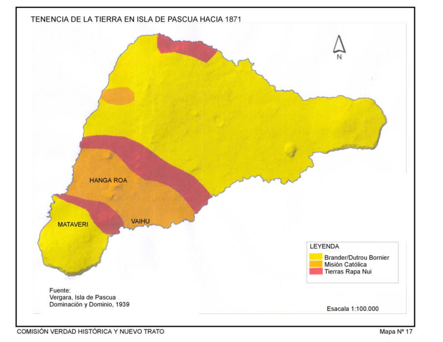
Comision Memoria, Verdad Historica y Nuevo Trato. "Tenencia de Tierra en la Isla de Pascua hacia 1871." Map. 1939. http://www.memoriachilena.gob.cl/602/articles-122901_recurso_3.pdf
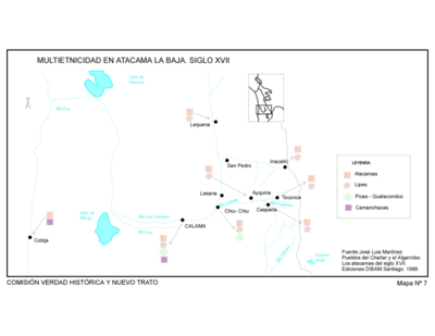
Pueblos del Chanar y el Algarrobo. Los Atacamas del Siglo XVII.
Mapa 1600
A Map of part of Yucatan or of that Part of the Eastern Shore Within the Bay of Honduras Alloted to Great Britain for the Cutting of Logwood, in consequence of the Convention Signed with Spain on the 14th July 1786.
Mapa 1700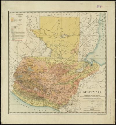
Guatemala, from official and other sources.
Mapa 1900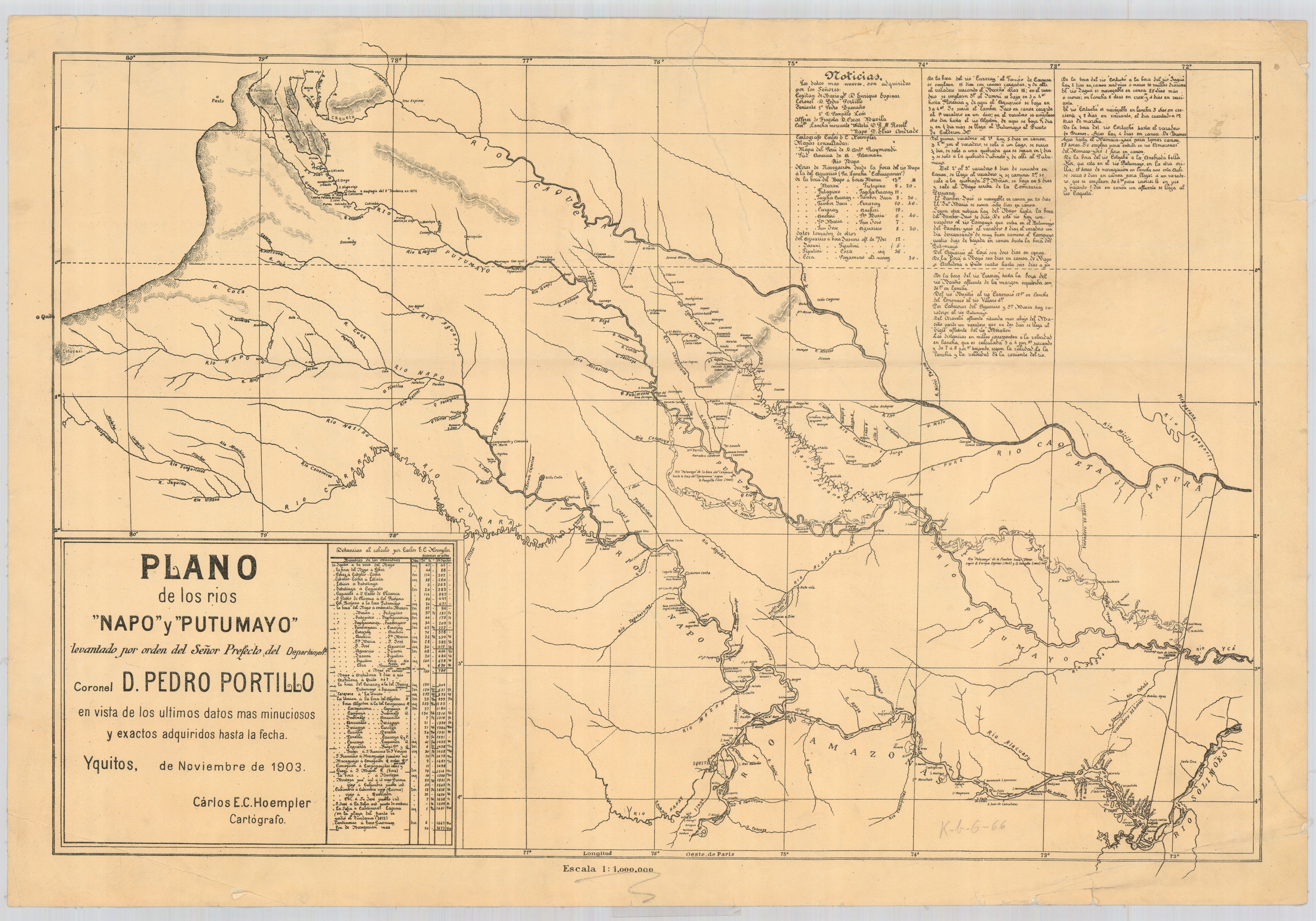
Plano de los rios Napo y Putumayo / levantado por orden del señor prefecto del departemento coronel d. Pedro Portillo en vista de los últimos datos mas minuciosos y exactos adquiridos hasta la fecha
Mapa 1903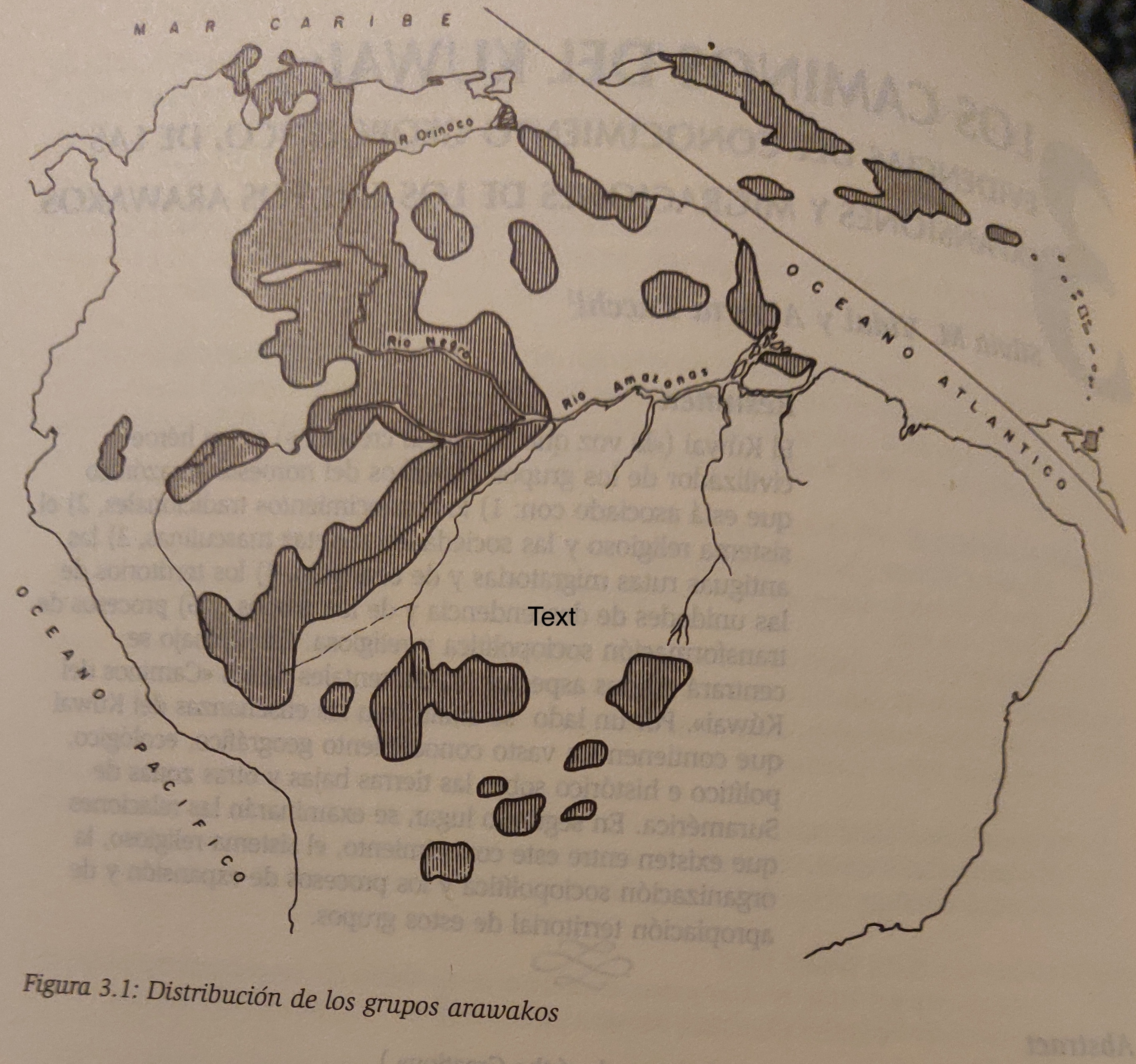
TERRITORIO ARAWAKO
Mapa 1399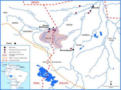
Ese Eja Communities
Mapa 1900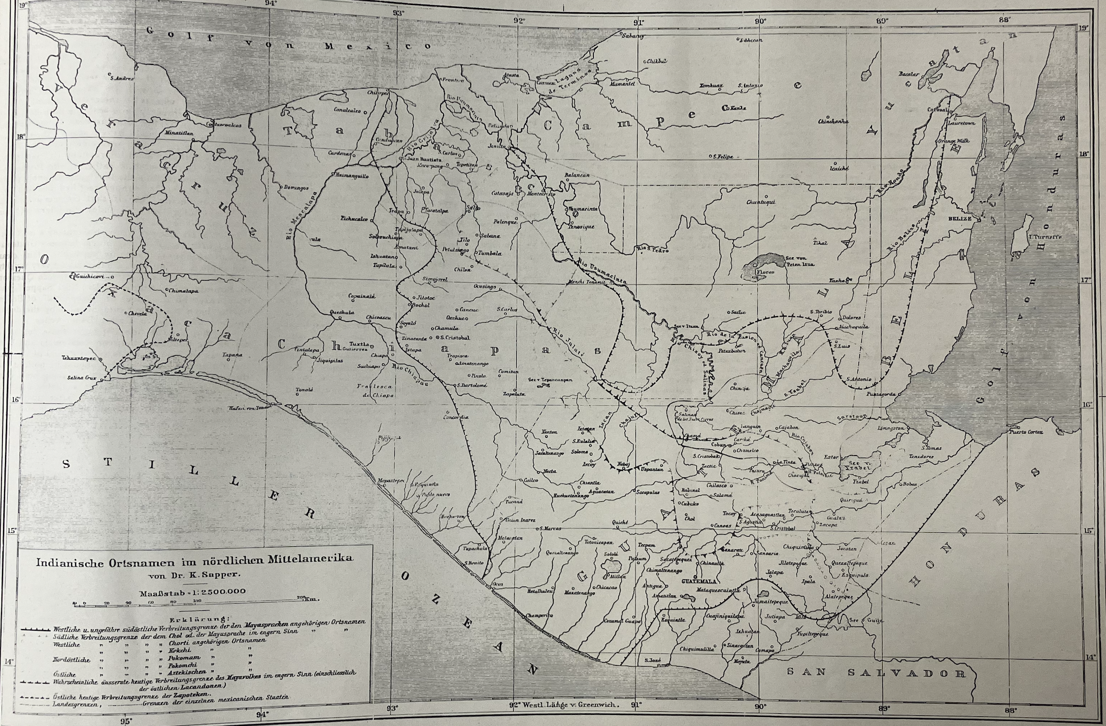
Indianische Ortsnamed im nördlichen Mittelamerika
Mapa 1800 - 1900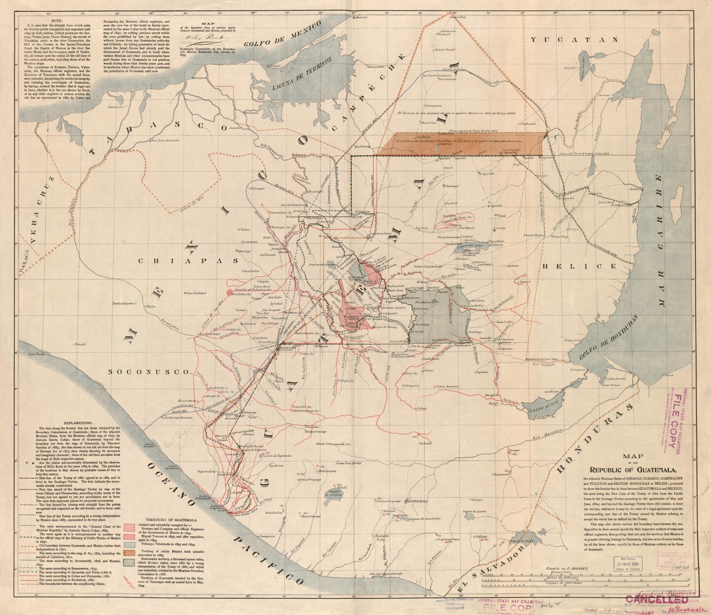
Map of the Republic of Guatemala
Mapa 1800