Pueblos
- INDEA
Cita
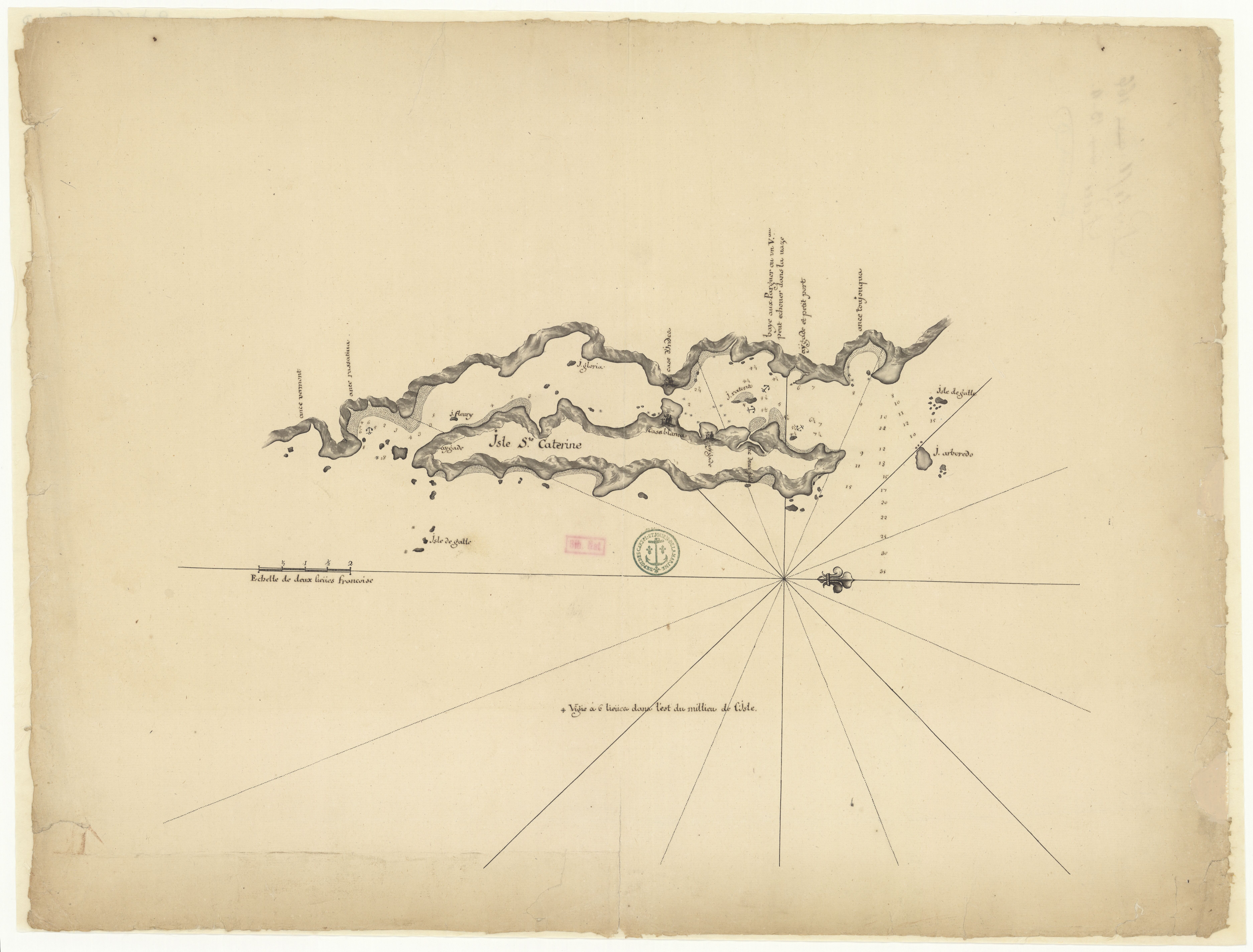
"Isle Ste. Catherine." Map. 1710. Accessed August 7, 2023. https://gallica.bnf.fr/ark:/12148/btv1b531221954/f1.item.
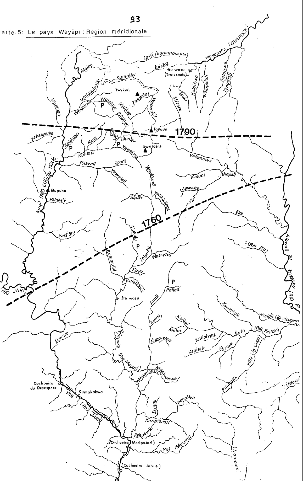
Carte 5: Le pays Wayãpi: Région méridionale
Mapa 1760 - 1790
A Map of part of Yucatan or of that Part of the Eastern Shore Within the Bay of Honduras Alloted to Great Britain for the Cutting of Logwood, in consequence of the Convention Signed with Spain on the 14th July 1786.
Mapa 1700
Map 2.2 French Guiana’s regional languages
Mapa 2012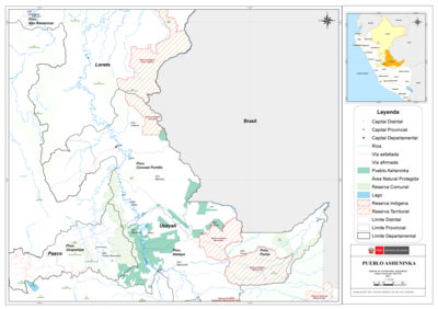
PUEBLO ASHENINKA
Mapa 2021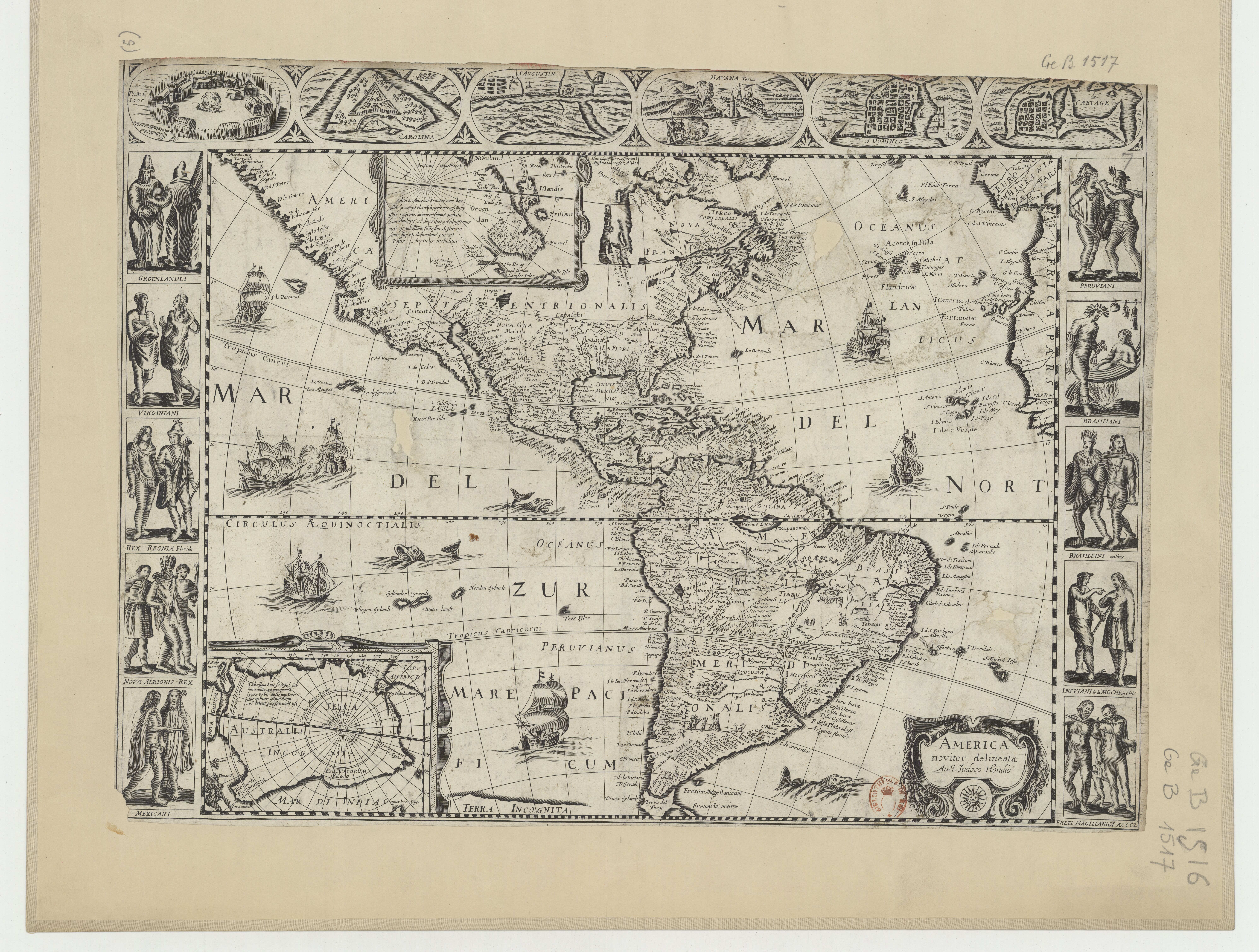
America noviter delineata
Mapa 1600 - 1699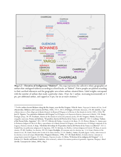
Theories of Indigenous “Habitat”.
Mapa 1680 - 1805![Sobre os vínculos invisíveis [Sobre los vínculos invisibles]](https://dnet8ble6lm7w.cloudfront.net/art_sm/ABRA035-0.png)
Sobre os vínculos invisíveis [Sobre los vínculos invisibles]
Obra de Arte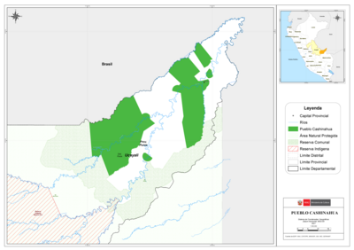
PUEBLO CASHINAHUA
Mapa 2021