Pueblos
- INDIANS
Citas
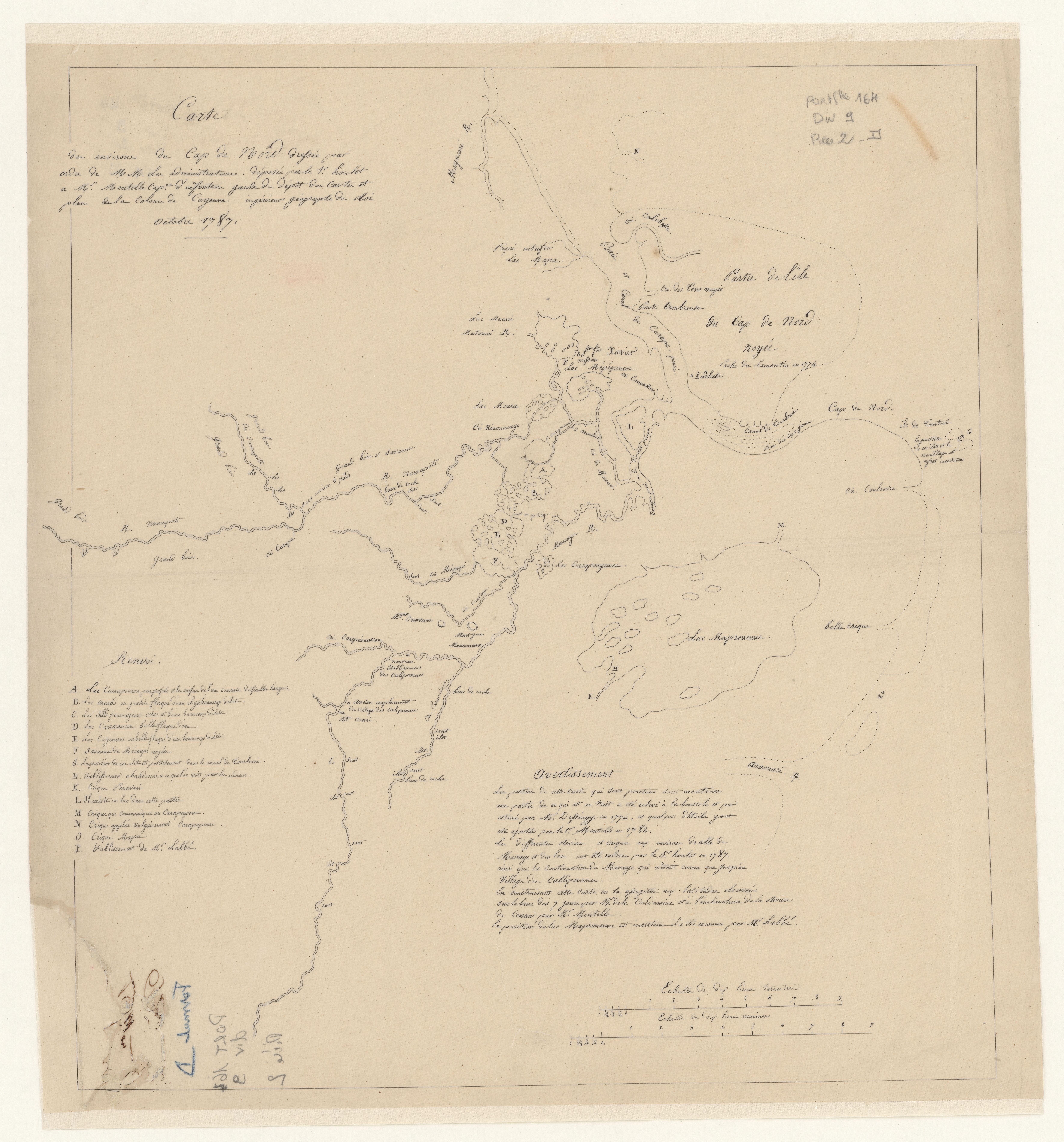
Mentelle, Simon, and Joseph-Charles Dessingy. "Carte des environs de Cap de Nord." Map. 1787. Accessed August 6, 2023. https://gallica.bnf.fr/ark:/12148/btv1b53103666z/f1.item.
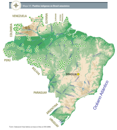
Pueblos indígenas en Brasil amazónico
Mapa 2009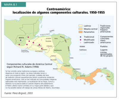
Centroamérica: localización de algunos componentes culturales. 1950-1955
Mapa 1950
El dueño de coronavirus
Obra de Arte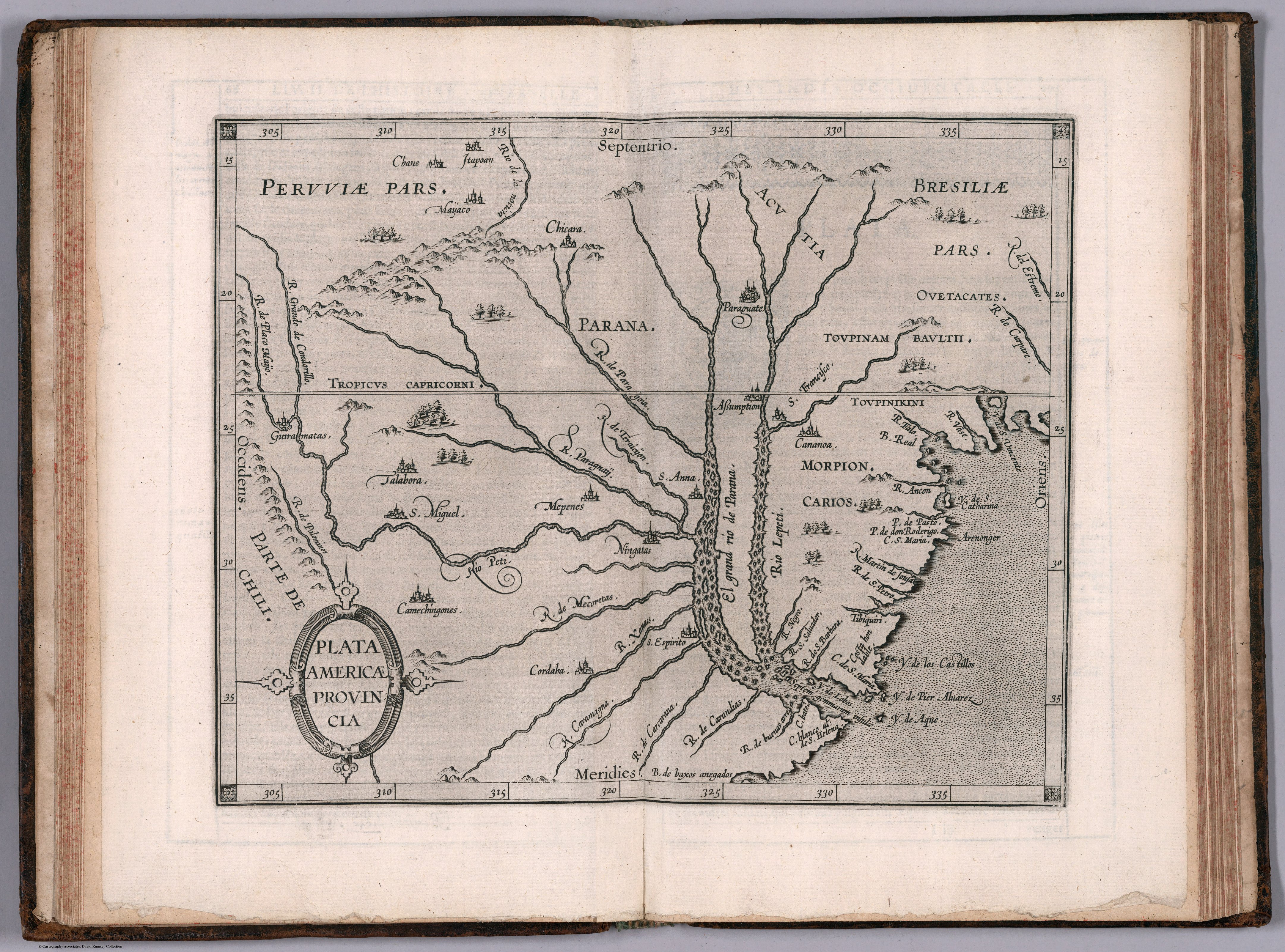
PLATA AMERICAE PROVINCIA
Mapa 1500 - 1599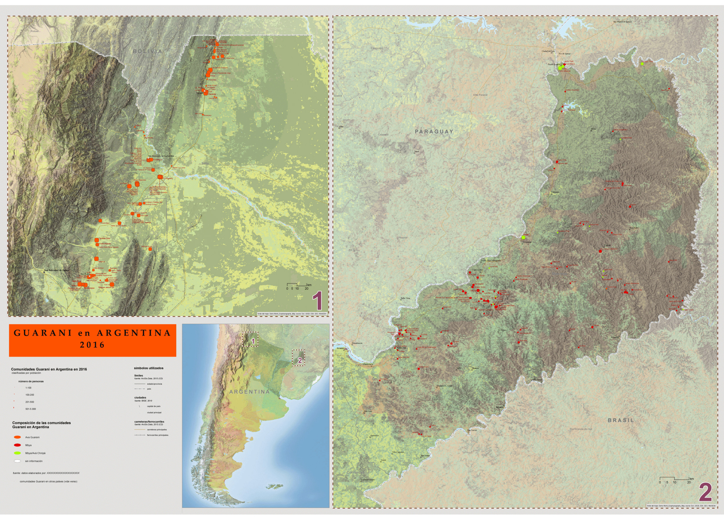
Guaraní en Argentina 2016, Pueblos Guaraníes en América del Sur 2016
Mapa 2016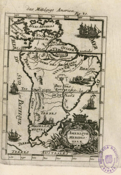
Amerique Meridionale
Mapa 1600 - 1699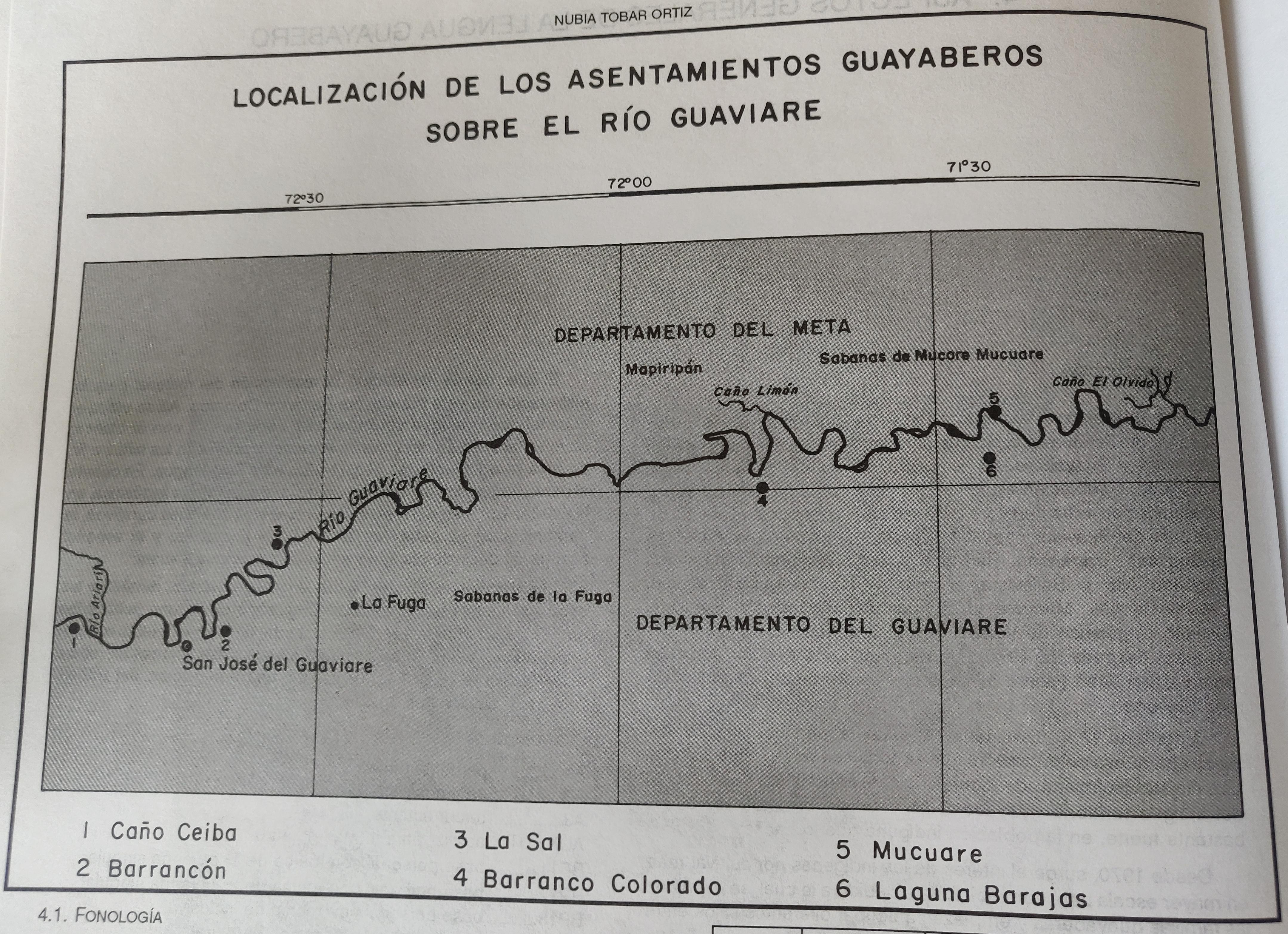
LOCALIZACIÓN DE LOS ASENTAMIENTOS GUAYABEROS SOBRE EL RIO GUAVIARE
Mapa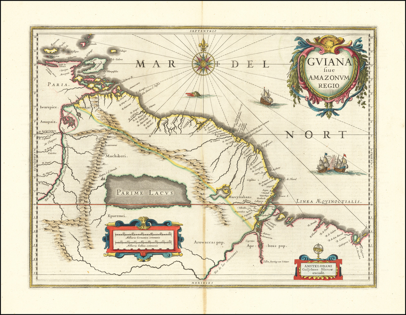
GUIANA sive AMAZONUM REGIO
Mapa 1600 - 1699