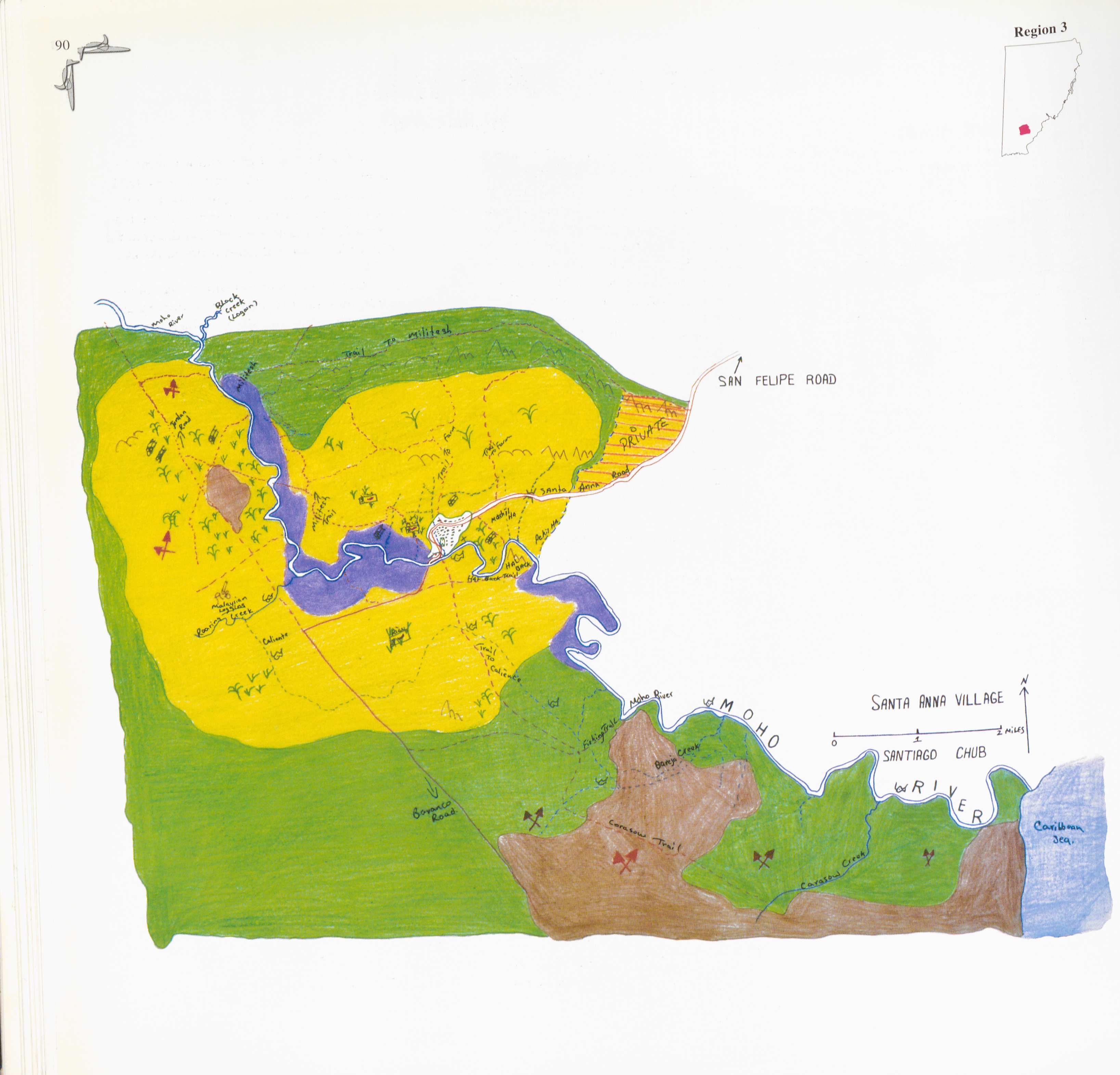
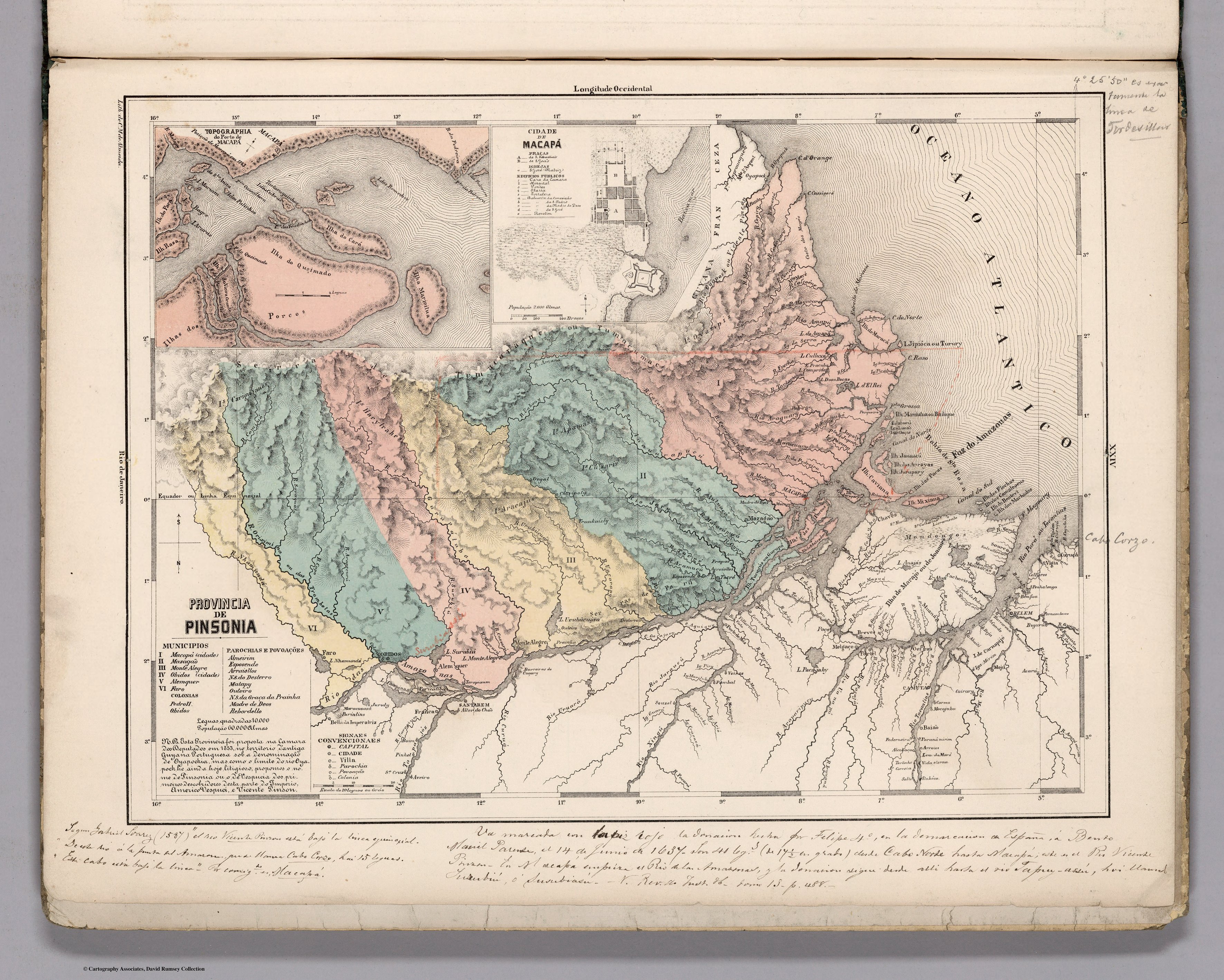
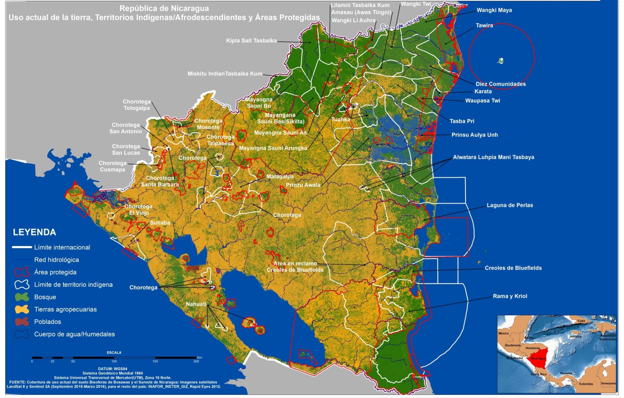
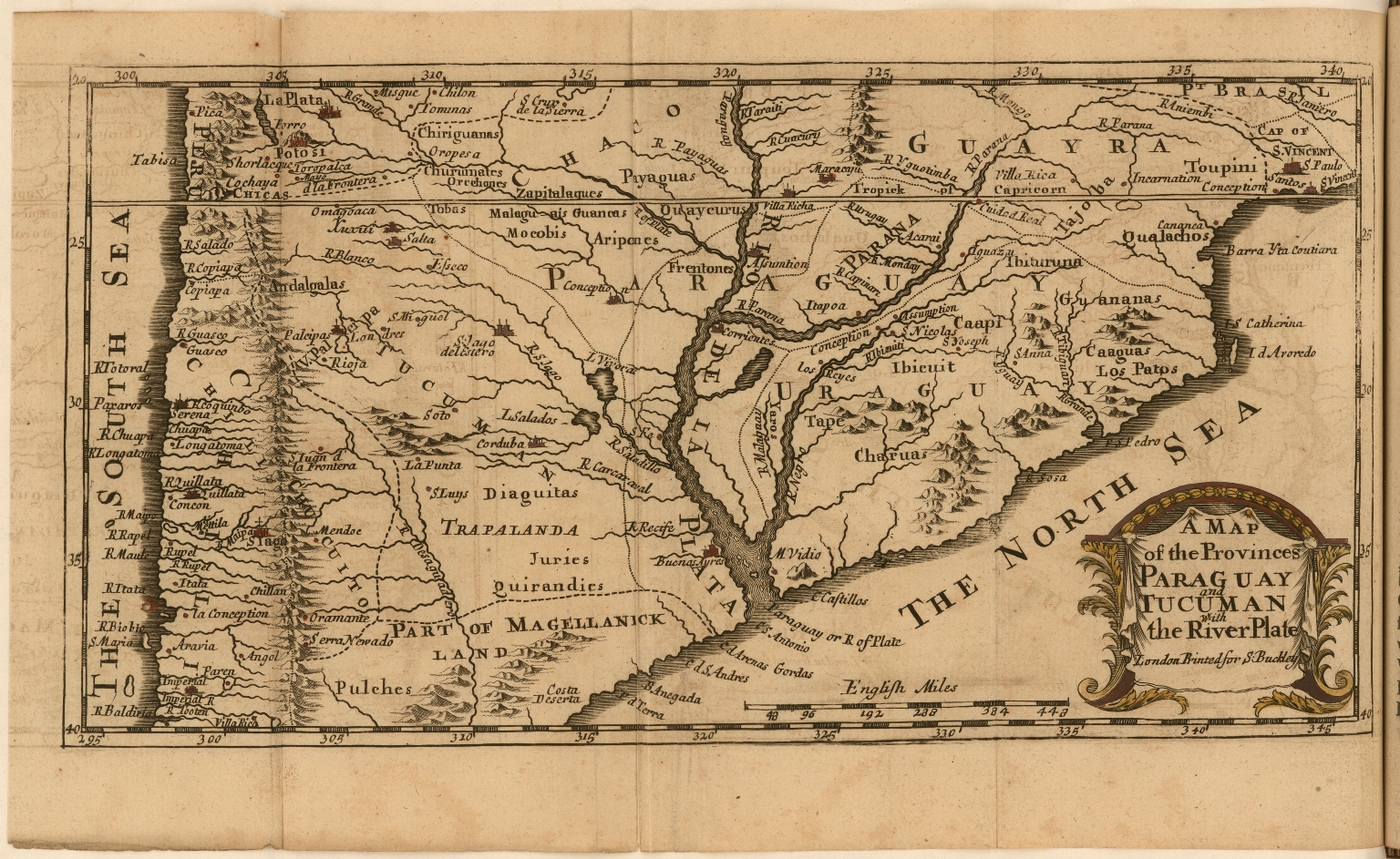
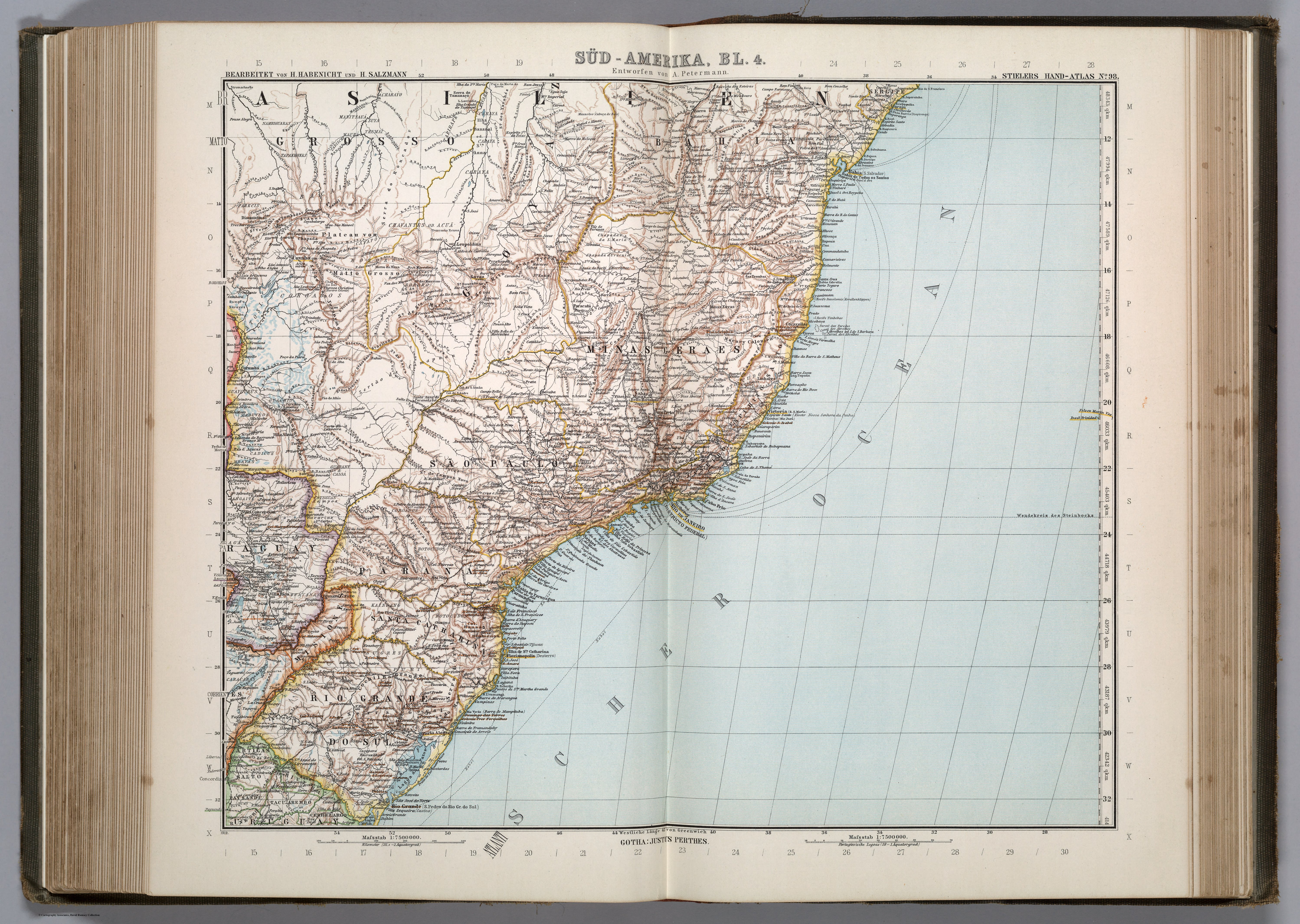
Dispossesions in the Americas

Dispossesions in the Americas

  • Inicio
  • Explorar
  • Autores
  • Sobre
  • Arte
  • Cuerpos
  • Planes de Estudio
  • Herencia Cultural
  • Mapas
  • Territorios
Volver a Explorar

Leyendo en Inglés

Mapa 1911

SÜD-AMERIKA, BL. 4

  • PETERMANN, A.

Publicado: 1911

  • Descargar Imágen
  • Descargar Imágen
Mapa 1911

SÜD-AMERIKA, BL. 4

  • PETERMANN, A.

Publicado: 1911

  • Descargar Imágen

Pueblos

  • CARAYA
  • XAVAHE
  • TAPIRAPE
  • CHARAYO
  • MANITSAUA
  • SUYA
  • TRUMAI
  • WAURA
  • NAMBIGUARAS
  • TAPANHONAS
  • CABISCHI
  • BACAIRI
  • CHAVANTES
  • ACUA
  • CAYAPO
  • BORORO
  • PARECIS
  • GUATOS
  • BOTOCUDOS
  • GUAYCURUS
  • GUACHIS
  • CADUVEOS
  • CADICUS
  • MBAYAS
  • COROADOS
  • CAYUA
  • GUARANY
  • CAIOA
  • CAYNGUAS
  • ANGAITE
  • PILAGA
  • GUAYANAS
  • KAINGANG
  • BUGRES
  • CARACARAS
  • PURI

Citas

Petermann, A., Adolf Stieler, H. Habenicht, and H. Salzmann. Süd-Amerika, Bl. 4. Map. Gotha: Justus Perthes, 1911. Accessed August 4, 2023. https://www.davidrumsey.com/luna/servlet/detail/RUMSEY~8~1~297435~90069027.

  • Descargar Imágen

Artículos Relacionados

Mosquitia or The Mosquito Shore with The Eastern Part of Yucatán as far as the 20th Degree of North Latitude

Mosquitia or The Mosquito Shore with The Eastern Part of Yucatán as far as the 20th Degree of North Latitude

Mapa 1787
Carta plano de la provincia de la Hacha situada entre las de Santa Marta y Maracaybo

Carta plano de la provincia de la Hacha situada entre las de Santa Marta y Maracaybo

Mapa 1786
MAPA LINGÜÍSTICO DEL PAIS

MAPA LINGÜÍSTICO DEL PAIS

Mapa 2009 - 2010
Carte n°7: Limite septentrionale des poissons Paraiba et Pirarucu

Carte n°7: Limite septentrionale des poissons Paraiba et Pirarucu

Mapa 1740 - 1978
PROVINCIA DE SAPUCAHY

PROVINCIA DE SAPUCAHY

Mapa 1873
Partie Occidentale de la Terre Ferme

Partie Occidentale de la Terre Ferme

Mapa 1749
Panamá: creación de comarcas indígenas

Panamá: creación de comarcas indígenas

Mapa 2000
Southern Tepehuan and Tepecano

Southern Tepehuan and Tepecano

Mapa 1969

Despojos en las Américas

Un Proyecto de

University of Pennsylvania

Copyright 2024

Con el apoyo de

Mellon Foundation

Diseño y Desarrollo del Sitio

Element 84

Créditos Artísticos

Petermann, A., Adolf Stieler, H. Habenicht, and H. Salzmann. Süd-Amerika, Bl. 4. Map. Gotha: Justus Perthes, 1911. Accessed August 4, 2023. https://www.davidrumsey.com/luna/servlet/detail/RUMSEY~8~1~297435~90069027.

Páginas del Sitio

  • Inicio
  • Explorar
  • Autores
  • Sobre
  • Arte
  • Cuerpos
  • Planes de Estudio
  • Herencia Cultural
  • Mapas
  • Territorios