Pueblos
- AROANS
- SACACAS
Cita
Dos Reys, Ignacio, and Couvai. "Carte particulière de l'entrée du Para." Map. 1729. Accessed August 4, 2023. https://gallica.bnf.fr/ark:/12148/btv1b8596759p/f1.item.
MAPA O CARTA GEOGRÁFICA DE LA PROVINCIA DE VENEZUELA. LA CAPITAL ES LA CIUDAD DE SANTIAGO DE LÉON DE CARACAS.
Mapa 1780
Mapa Nacional de Pueblos Indígenas y Afrodescendientes
Mapa 2016
SCHEMATIC MAP OF DISTRIBUTION OF MAYA-SPEAKING INDIANS (From Morley, 1956, pl.7)
Mapa
CARTE de la Côte du Brésil DE RIO DE JANEIRO à l'Ihla Grande
Mapa 1700 - 1899
Pueblo y tierras de Sopó
Mapa 1758
REGIÓN CHONTAL DE TABASCO
Mapa 2000
A New Chart of the Coast of Brazil from the Banks of St. Roque, to the Island of St. Sebastian;with the Islands and Soundings in the Offing
Mapa 1794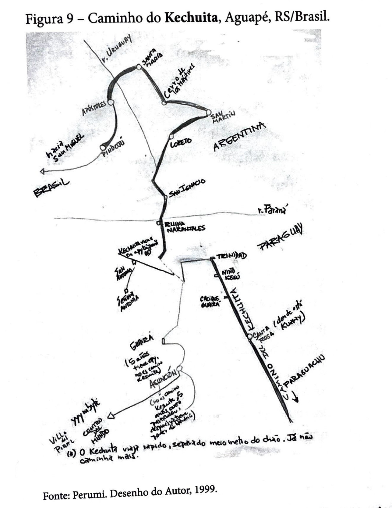
Caminho do Kechuita, Aguapé, RS/Brasil
Mapa 1999