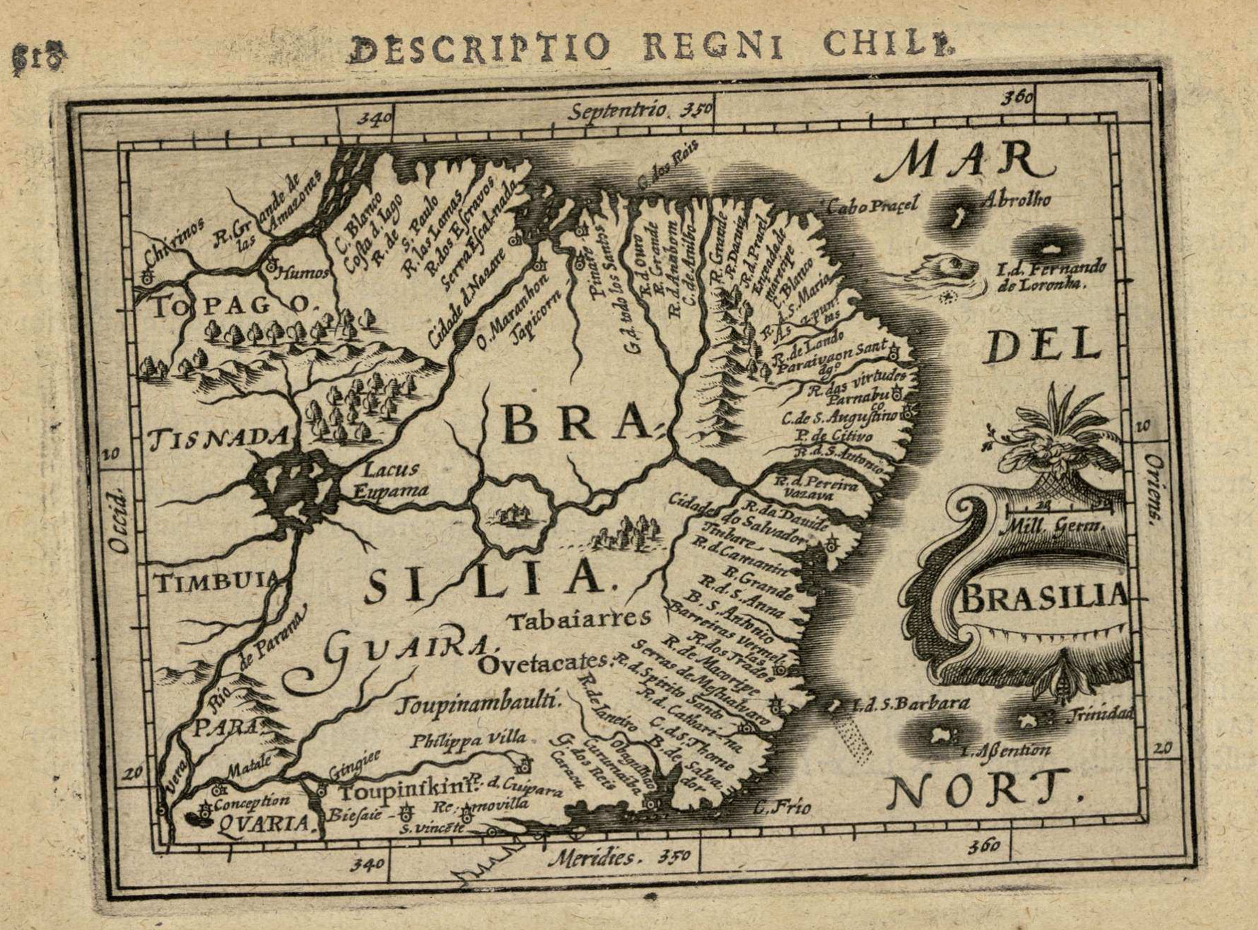
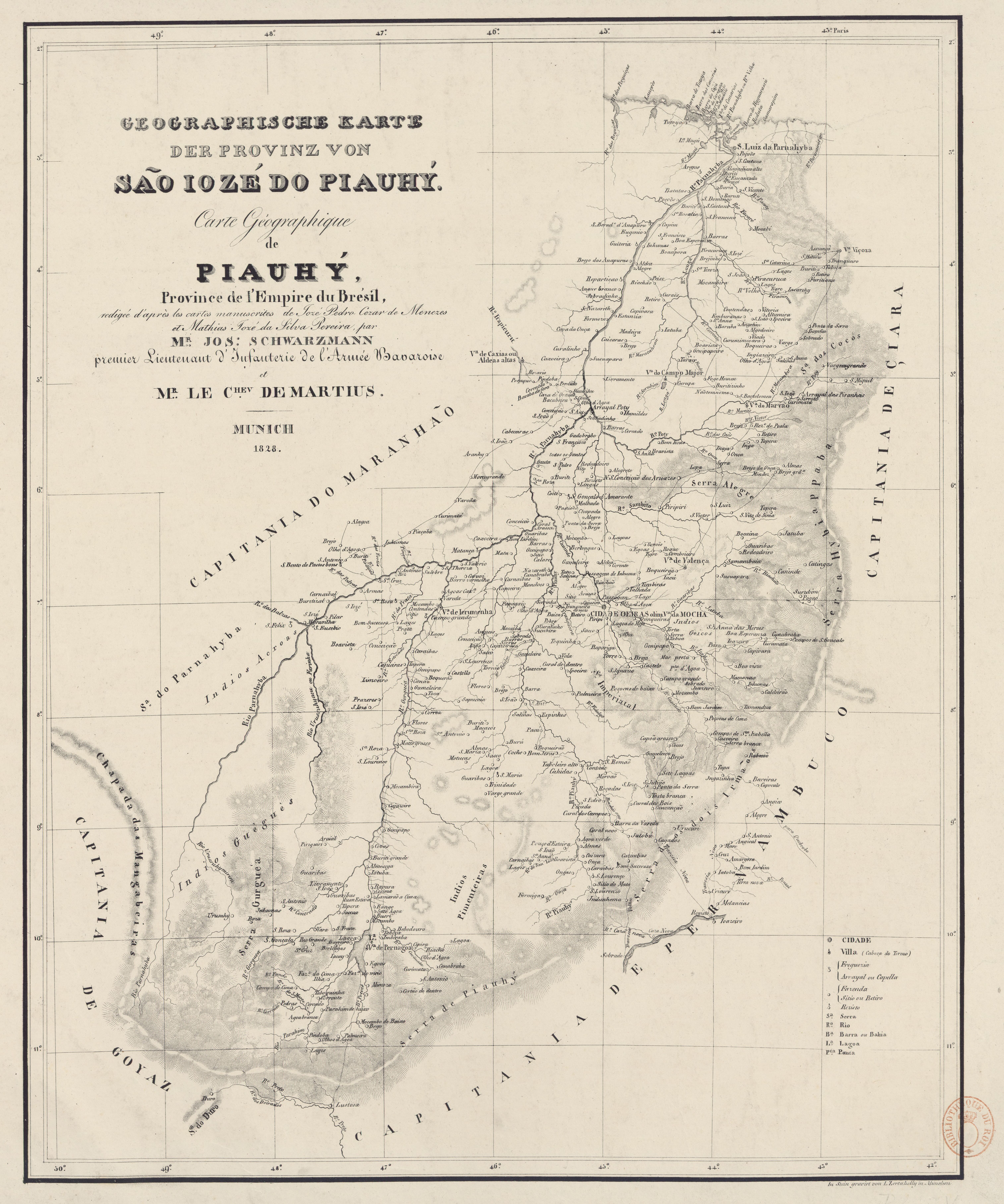
Dispossesions in the Americas

Dispossesions in the Americas

  • Inicio
  • Explorar
  • Autores
  • Sobre
  • Arte
  • Cuerpos
  • Planes de Estudio
  • Herencia Cultural
  • Mapas
  • Territorios
Volver a Explorar

Leyendo en Inglés

Mapa 1828

GEOGRAPHISCHE KARTE DER PROVINZ VON SÃO JOZÉ DO PIAUHY. Carte Géographique de PIAUHY, Province de l'Empire du Brésil

  • SCHWARZMANN, JOSEPH, ET AL.

Publicado: 1828

  • Descargar Imágen
  • Descargar Imágen
Mapa 1828

GEOGRAPHISCHE KARTE DER PROVINZ VON SÃO JOZÉ DO PIAUHY. Carte Géographique de PIAUHY, Province de l'Empire du Brésil

  • SCHWARZMANN, JOSEPH, ET AL.

Publicado: 1828

  • Descargar Imágen

Pueblos

  • ACROAS
  • GUEGUES
  • PIMENTEIRAS

Cita

Schwarzmann, Joseph, and Carl Friedrich Philipp von Martius. Geographische Karte der Provinz von São Jozé do Piauhy. Carte géographique de Piauhy, province de l'empire du Brésil. Map. Munich, 1828. Accessed August 2, 2023. https://gallica.bnf.fr/ark:/12148/btv1b8490734r/f1.item.

  • Descargar Imágen

Leyendo en Portugués

Mapa 1828

GEOGRAPHISCHE KARTE DER PROVINZ VON SÃO JOZÉ DO PIAUHY. Carte Géographique de PIAUHY, Province de l'Empire du Brésil

  • SCHWARZMANN, JOSEPH, ET AL.

Publicado: 1828

  • Descargar Imágen

Pueblos

  • ACROAS
  • GUEGUES
  • PIMENTEIRAS

Cita

Schwarzmann, Joseph, and Carl Friedrich Philipp von Martius. Geographische Karte der Provinz von São Jozé do Piauhy. Carte géographique de Piauhy, province de l'empire du Brésil. Map. Munich, 1828. Accessed August 2, 2023. https://gallica.bnf.fr/ark:/12148/btv1b8490734r/f1.item.

  • Descargar Imágen

Artículos Relacionados

AL SERMO FERDINANDO II GRANDVCA DI TOSCANA

AL SERMO FERDINANDO II GRANDVCA DI TOSCANA

Mapa 1661
A New Chart of Guayana with the colonies of Cayenne;Surinam;&c.

A New Chart of Guayana with the colonies of Cayenne;Surinam;&c.

Mapa 1700 - 1799
Theories of Migration (Minuanes).

Theories of Migration (Minuanes).

Mapa 1680 - 1805
South America corrected from the observation communicated to the
     Royal Society"s of London & Paris by John Senex, at the Globe against St.
     Dunstans Church Fleetstreet.

South America corrected from the observation communicated to the Royal Society"s of London & Paris by John Senex, at the Globe against St. Dunstans Church Fleetstreet.

Mapa 1755
Guiana siue Amazonum Regio.

Guiana siue Amazonum Regio.

Mapa 1600 - 1699
7

7

Obra de Arte
Map of Jamaica showing Maroon areas

Map of Jamaica showing Maroon areas

Mapa 1995
Mapa que comprehende la mayor parte del reyno de Goatemala;Provincias de Yucatan;Vera-Paz;Honduras;Nicaragua;Costa-Rica;Veraguas y parte de Tierra Firme.

Mapa que comprehende la mayor parte del reyno de Goatemala;Provincias de Yucatan;Vera-Paz;Honduras;Nicaragua;Costa-Rica;Veraguas y parte de Tierra Firme.

Mapa 1738

Despojos en las Américas

Un Proyecto de

University of Pennsylvania

Copyright 2024

Con el apoyo de

Mellon Foundation

Diseño y Desarrollo del Sitio

Element 84

Créditos Artísticos

Schwarzmann, Joseph, and Carl Friedrich Philipp von Martius. Geographische Karte der Provinz von São Jozé do Piauhy. Carte géographique de Piauhy, province de l’empire du Brésil. Map. Munich, 1828. Accessed August 2, 2023. https://gallica.bnf.fr/ark:/12148/btv1b8490734r/f1.item.

Páginas del Sitio

  • Inicio
  • Explorar
  • Autores
  • Sobre
  • Arte
  • Cuerpos
  • Planes de Estudio
  • Herencia Cultural
  • Mapas
  • Territorios