Pueblos
- AROAS
Cita
Horatius, Andreas Antonius. Provincie del Para e del Maragnon. Map. Rome: Rossi, 1700. Accessed July 27, 2023. https://gallica.bnf.fr/ark:/12148/btv1b8596742d/f1.item.
BRAZIL
Mapa 1855, 2022](https://dnet8ble6lm7w.cloudfront.net/art_sm/ABRA011.png)
Meditação da ferida ou a escola das facas [Meditación sobre la herida o la escuela de los cuchillos](versión Nakoada), 2022
Obra de Arte
MAPA 2. ZITT Y ZONA DE AMORTIGUAMIENTO.
Mapa 2015
Peruviae Auriferae Regionis Typus. Didaco Mendezio auctore (with) La Florida. Auctore Hieron. Chiaves. Cum Privilegio. (with) Guastecan.
Mapa 1608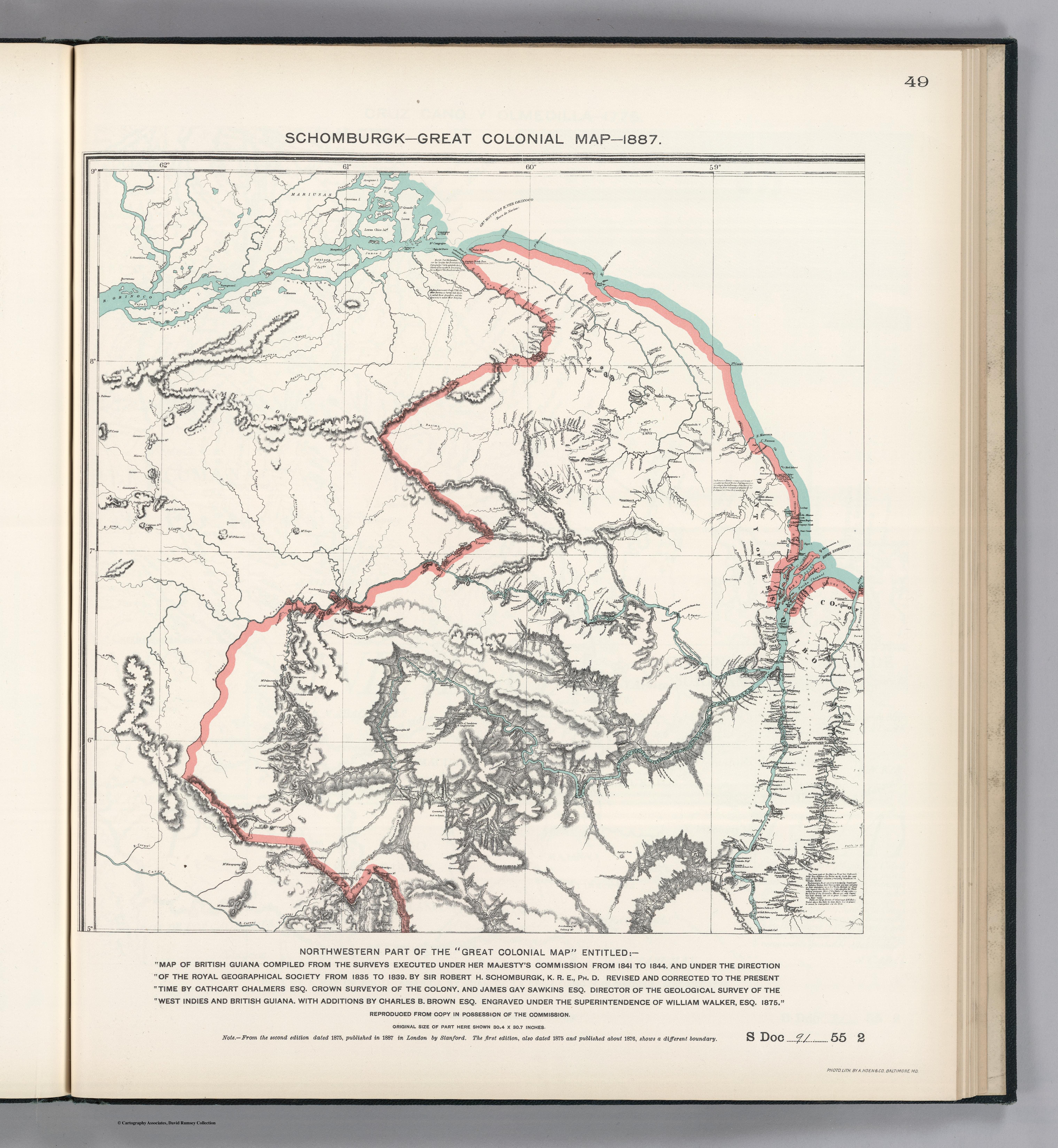
NORTHWEST PART OF THE "GREAT COLONIAL MAP"
Mapa 1875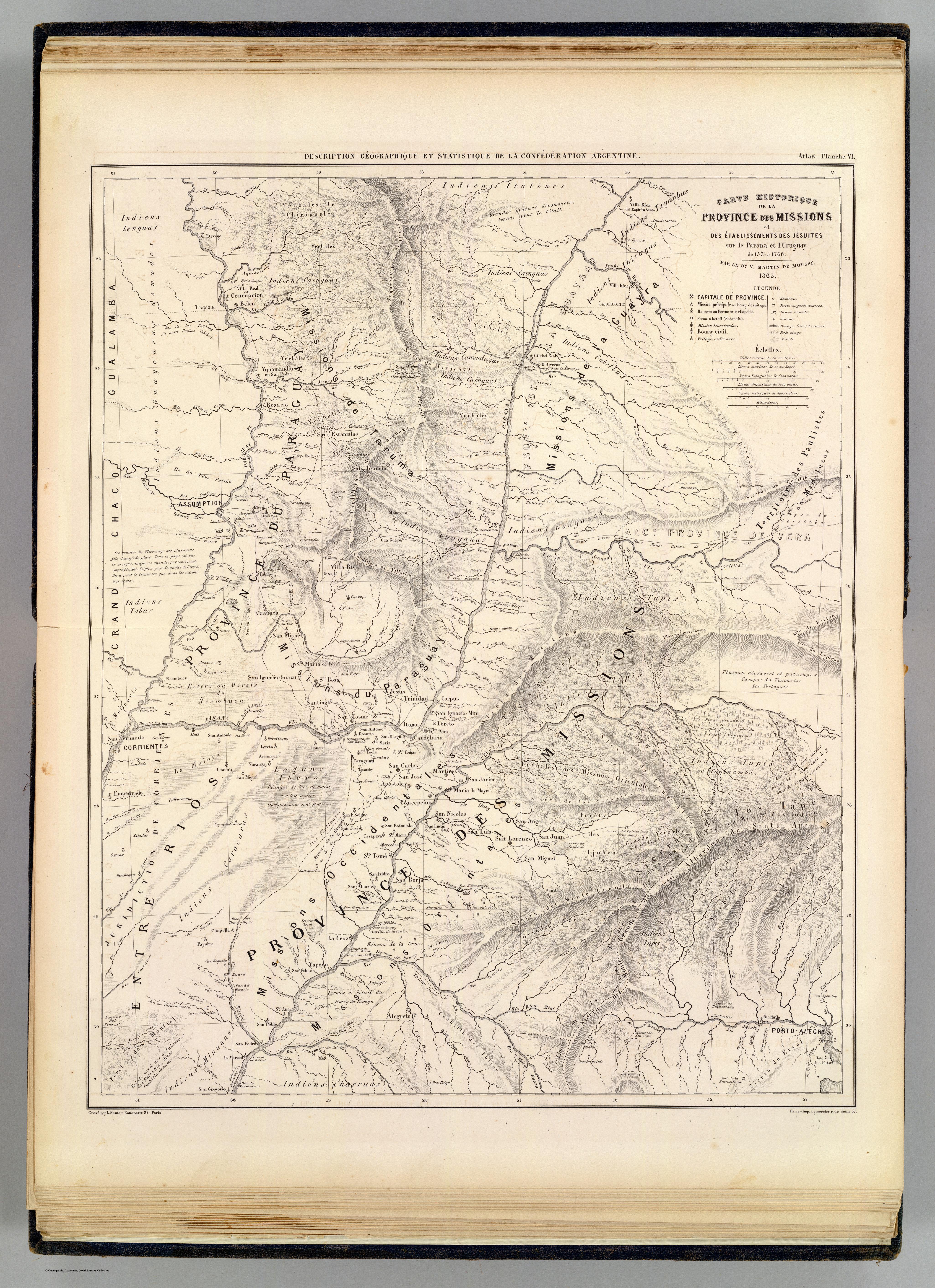
Carte hist.;Prov. des Missions;etabl. Jesuites;Parana et l'Uruguay;1575- 1768
Mapa 1575 - 1768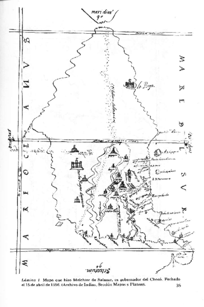
Vision etnografica del Choco Medidional
Mapa 1596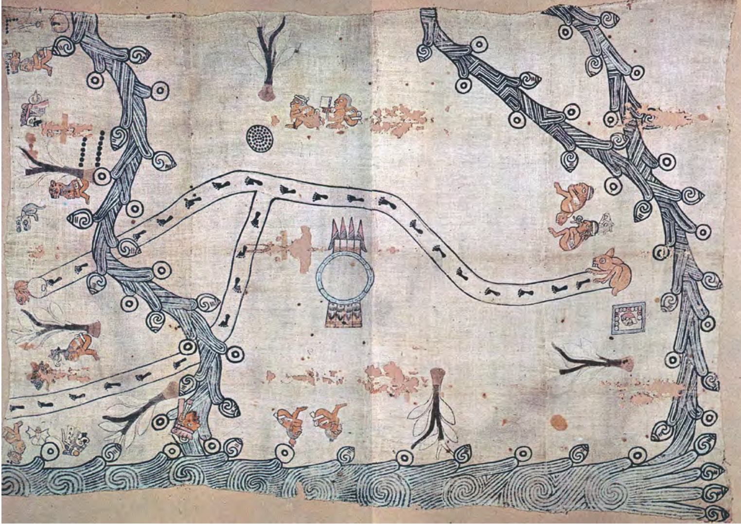
MAPA LOCAL DE TOCHPAN
Mapa 1400 - 1499