Pueblos
- AYMURES
- MOLOPAQUES
- MARGAIAS
- TAPUIAS
- APIAPETANG
Cita
Horatius, Andreas Antonius. "Provincie dello Spirito Santo e di Porto Sicuro." Map. Rome, 1700. Accessed July 26, 2023. https://gallica.bnf.fr/ark:/12148/btv1b85967039/f1.item.
AMERIQUE MERIDIONALE: BRESIL AUX PORTUGAIS: CAPITAINERIE DE RIO-IANEIRO
Mapa 1757
Map of the RIVER AQUIRY (an Affluent of the Purûs)
Mapa 1800 - 1850
Partie de la coste de la Guyane depuis la Rivière de Mahury jusqu'à celle de Macouria ou se trouve comprise la Rade de Cayenne
Mapa 1765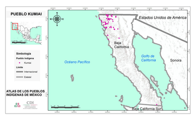
PUEBLO KUMIAI
Mapa 2020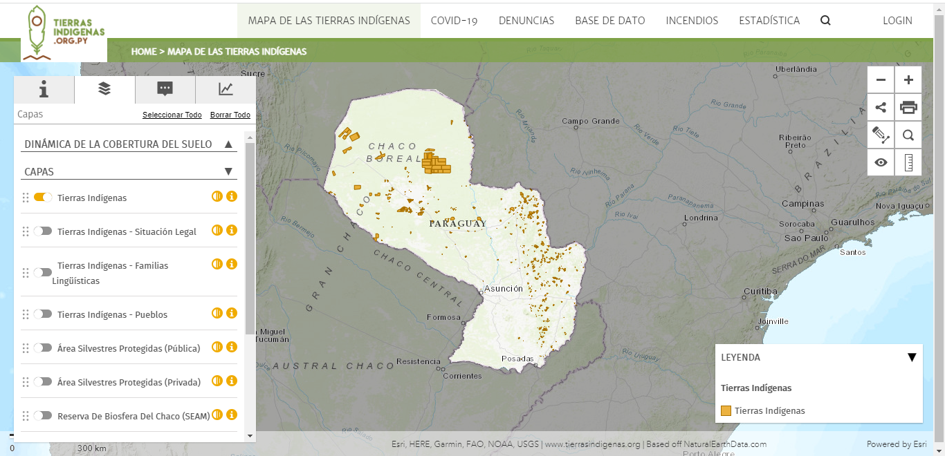
Mapa de las tierras indígenas
Mapa 2017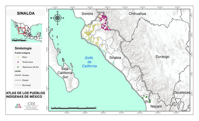
SINALOA
Mapa 2015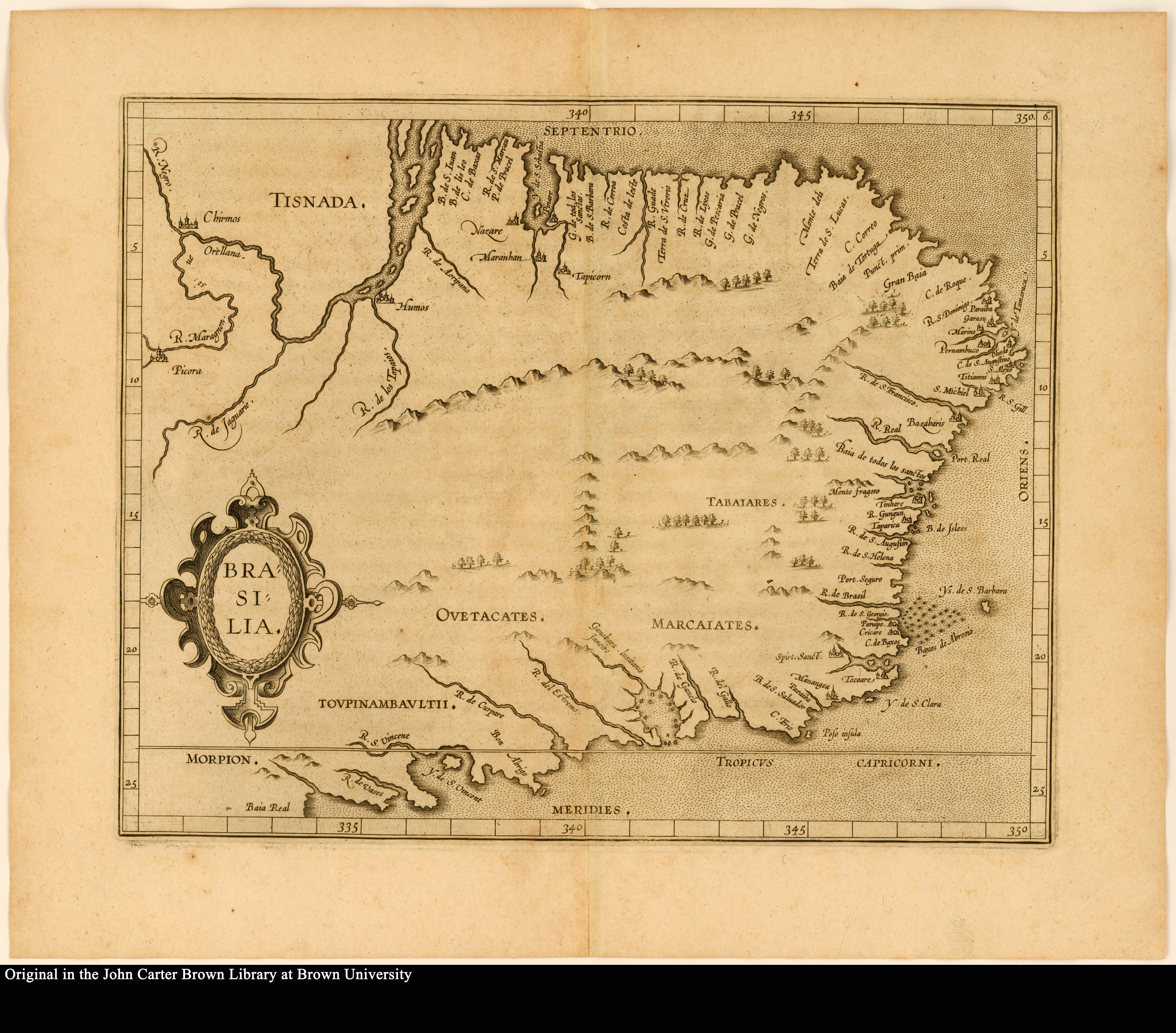
BRASILIA
Mapa 1500 - 1599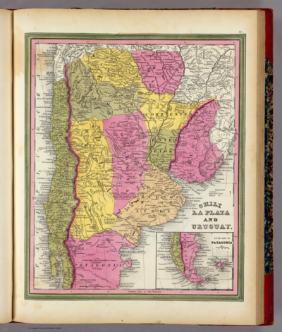
CHILE LA PLATA AND URUGUAY
Mapa 1836