Pueblos
- PAENNAS
- ARAYCAS
- MARAUHAS
- MOMANAS
- TUCUNAS
- TAMBIRAS
- PASSES
- PURUPURUS
- JUMMUS
- MAUBIS
- PAMINAS
- PARMTINTINS
- MURAS
- ANDIRAS
- ARARAS
- MUNDRUCUS
- APIACA
- CARIJOS
- GUAPINDOIS
- BOCOROS
- TAPIRASSES
- BACAHIRYS
- CABIVIS
- EGAUTAUBOS
- PAREXIS
Cita
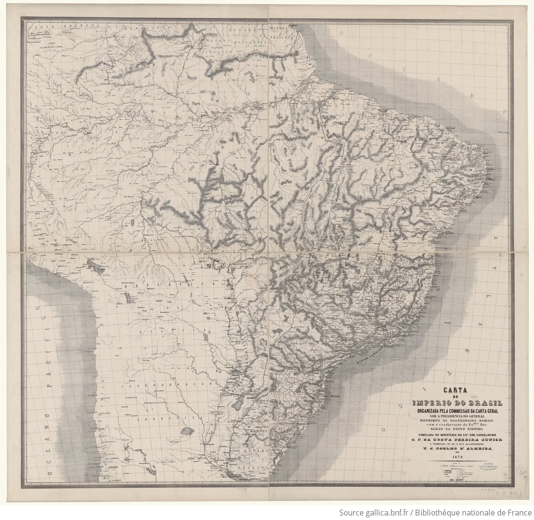
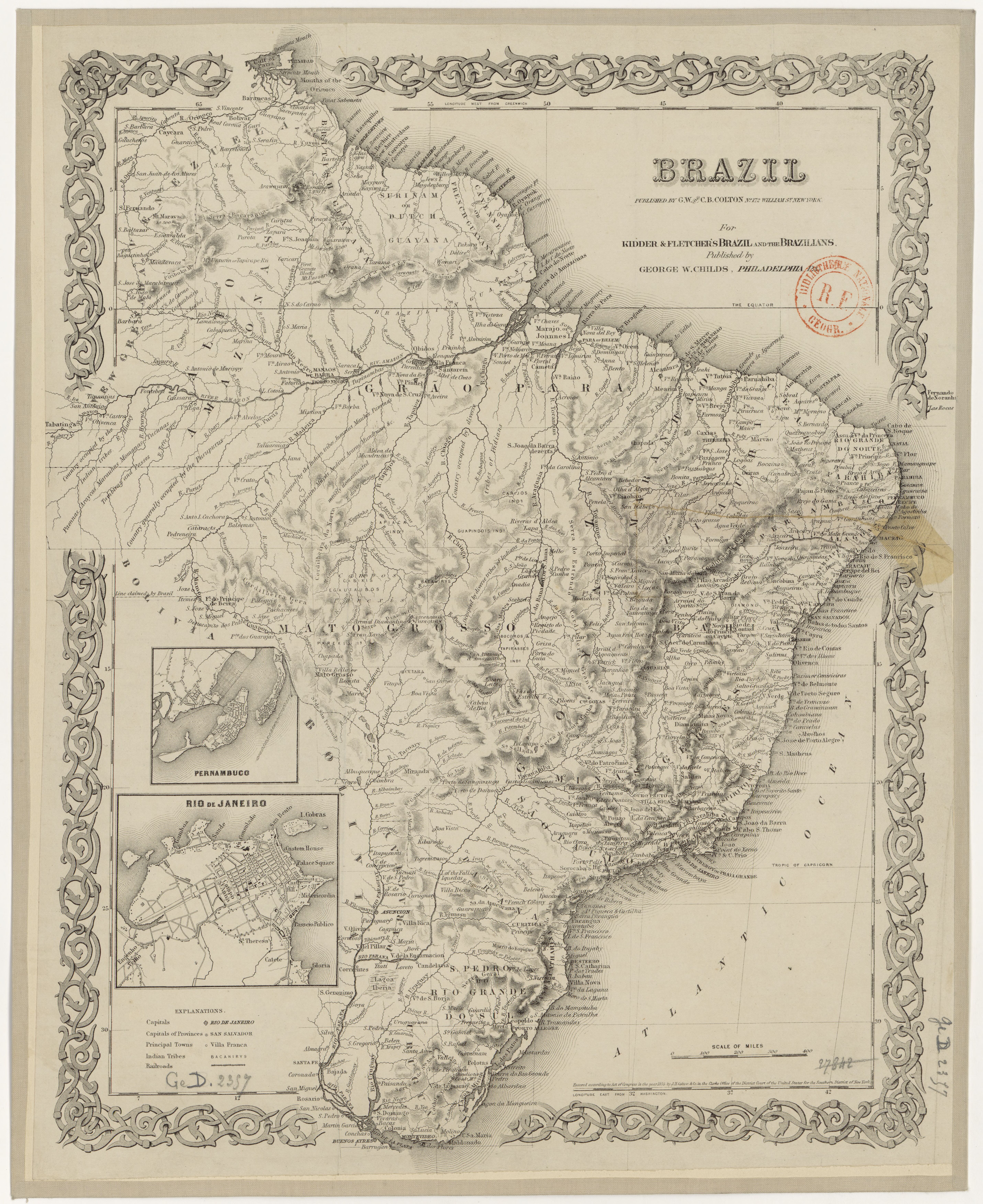
Colton, G.W., and C.B. Colton. Brazil. Map. New York: G.W. and C.B. Colton, 1855. Accessed July 21, 2023. https://gallica.bnf.fr/ark:/12148/btv1b8441212c/f1.item.