Pueblos
- INDIAN HABITATIONS
Cita
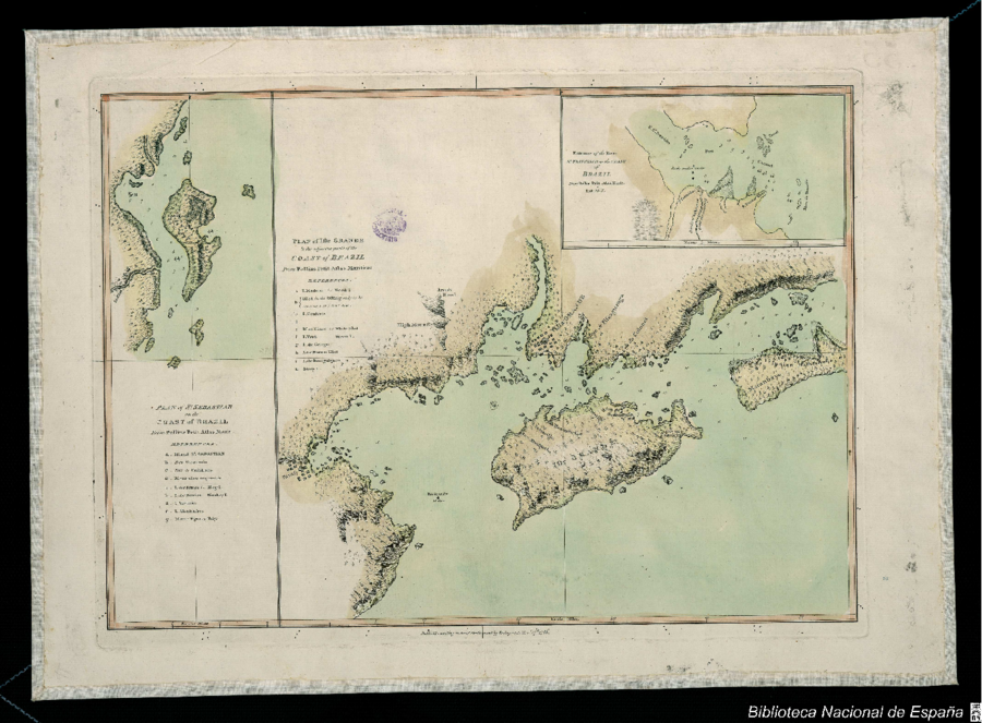
Bellin, Jacques Nicolas. Plan of the Isle Grande & the adjacent parts of the Coast of Brazil. Map. London: Alexander Dalrymple, 1786. Accessed July 18, 2023. http://bdh.bne.es/bnesearch/detalle/bdh0000033697.
El primer hombre no fue hombre, fue mujer
Obra de Arte![Haec pars Peruvianae, regiones Chicam & Chile[nsem]
complectitur, & Regionem](https://dnet8ble6lm7w.cloudfront.net/maps/ARG/ARG0063.jpg)
Haec pars Peruvianae, regiones Chicam & Chile[nsem] complectitur, & Regionem
Mapa 1551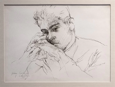
Retrato de Lorenzo Jaramillo
Obra de Arte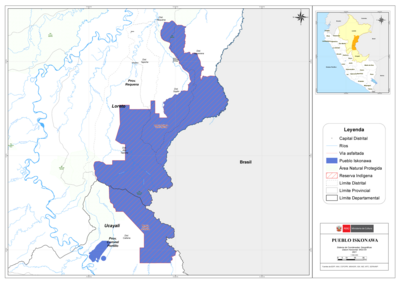
PUEBLO ISKONAWA
Mapa 2021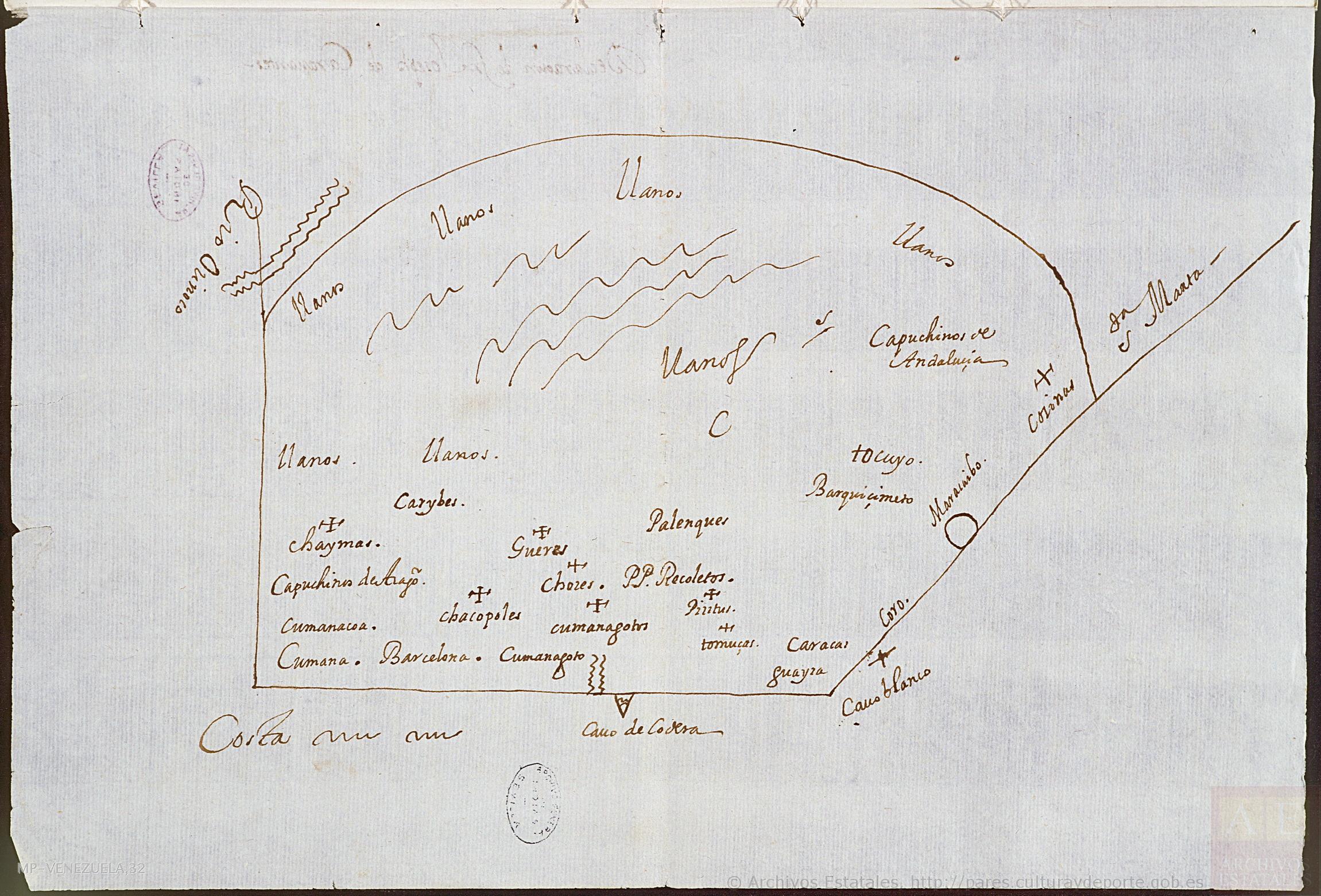
No Title
Mapa 1647![[Carte manuscrite de l'embouchure de Rio da Prata]](https://dnet8ble6lm7w.cloudfront.net/maps/URU/URU0025.jpeg)
[Carte manuscrite de l'embouchure de Rio da Prata]
Mapa 1740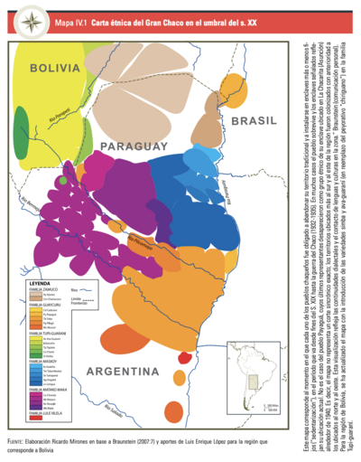
CARTA ETNICA DEL GRAN CHACO EN EL UMBRAL DEL S.XX
Mapa 1875 - 1935![Mapa de lo principal de la Provincia de NIC;su Laguna;y desagüe de ella;por el Río de San Juan;Poblasones [sic] de los enemigos Zambos e yngleses en Puntagorda y Mosquitos;y las costas y parajes;adonde hacen daños y prezas](https://dnet8ble6lm7w.cloudfront.net/maps/CNT/CNT0103.jpg)
Mapa de lo principal de la Provincia de NIC;su Laguna;y desagüe de ella;por el Río de San Juan;Poblasones [sic] de los enemigos Zambos e yngleses en Puntagorda y Mosquitos;y las costas y parajes;adonde hacen daños y prezas
Mapa 1716