Pueblos
- INDIAN HABITATIONS
Cita
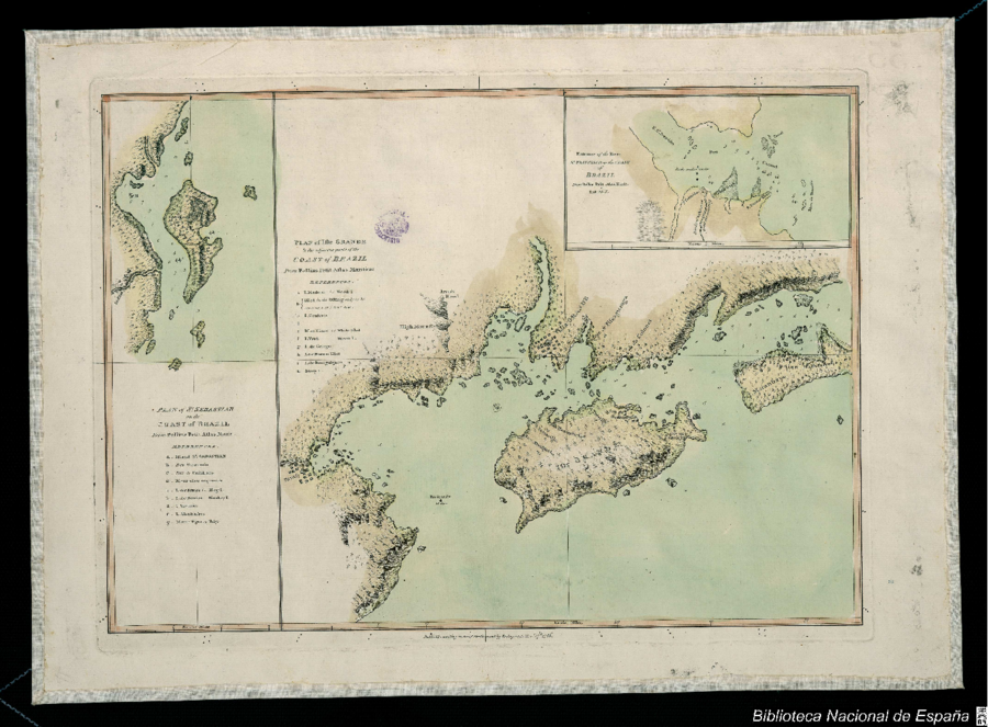
Bellin, Jacques Nicolas. Plan of the Isle Grande & the adjacent parts of the Coast of Brazil. Map. London: Alexander Dalrymple, 1786. Accessed July 18, 2023. http://bdh.bne.es/bnesearch/detalle/bdh0000033697.
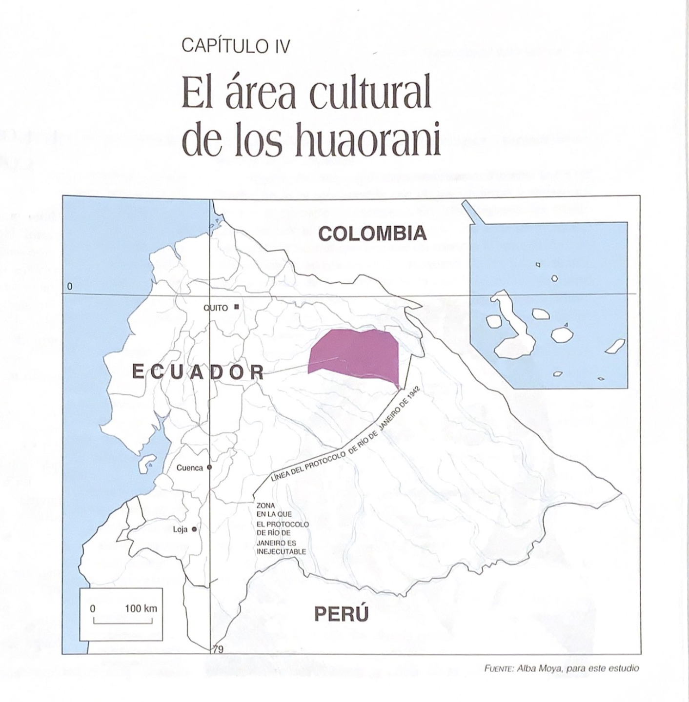
El área cultural de los huaorani
Mapa 1997
Lamento Guaraní
Obra de Arte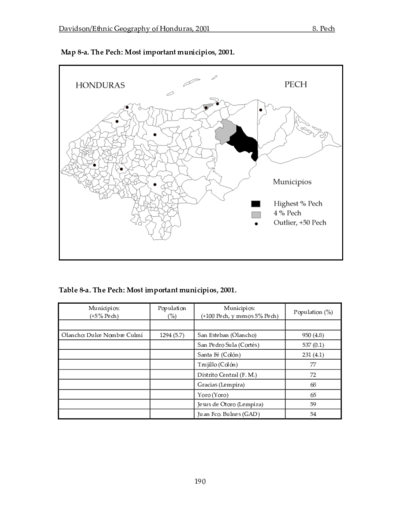
The Pech: Most important municipios, 2001
Mapa 2001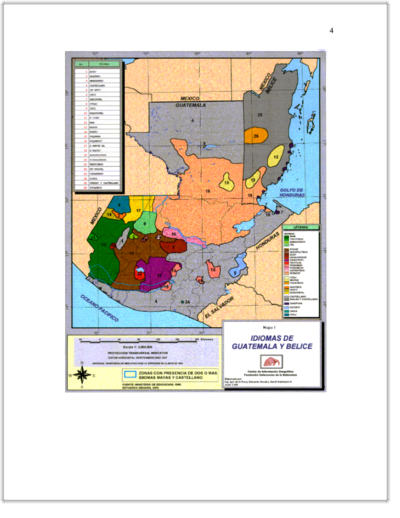
IDIOMAS DE GUATEMALA Y BELICE
Mapa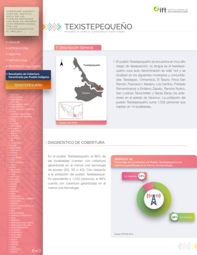
Ubicación geográfica del pueblo texistepequeño
Mapa 2018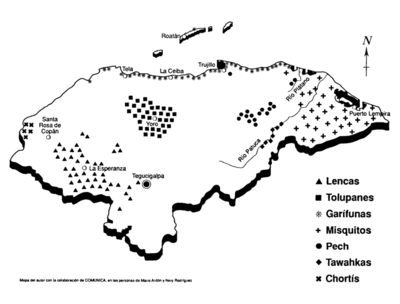
Los antiguos dueños de la tierra: Pueblos indígenas y garífuna de Honduras, una caracterización socio-económica, política y cultural
Mapa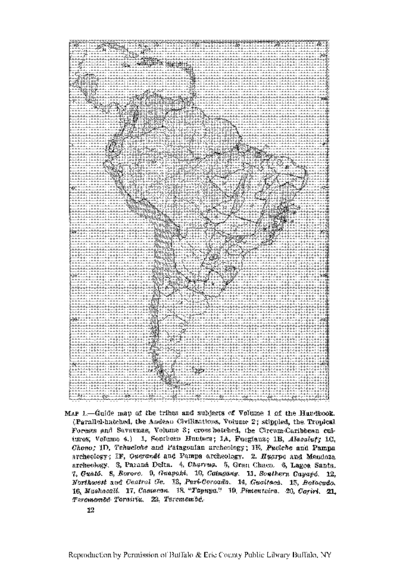
Guide map of the tribes and subjects of Volume 1 of the Handbook
Mapa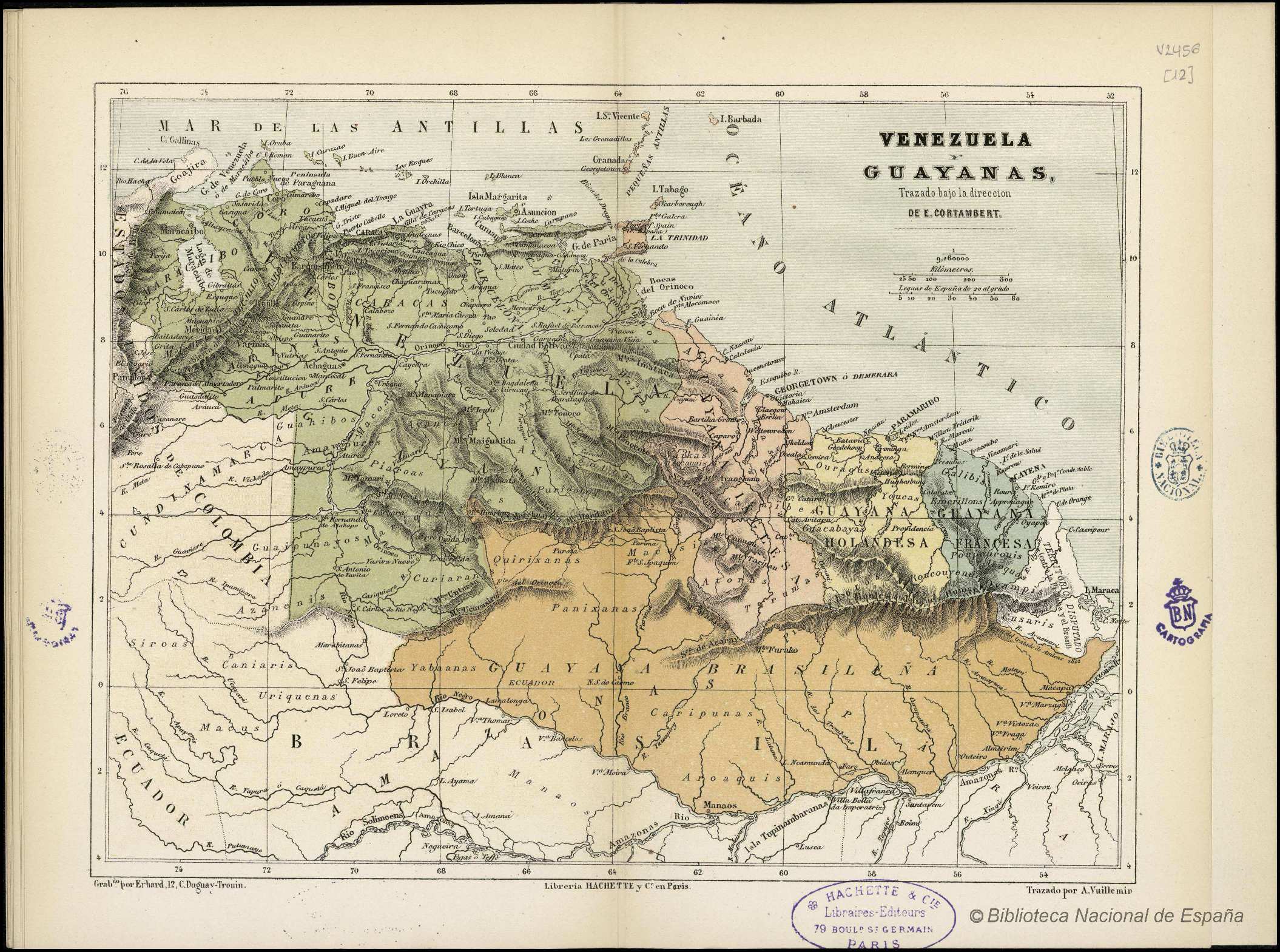
VENEZUELA Y GUAYANAS
Mapa 1800 - 1899