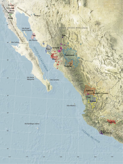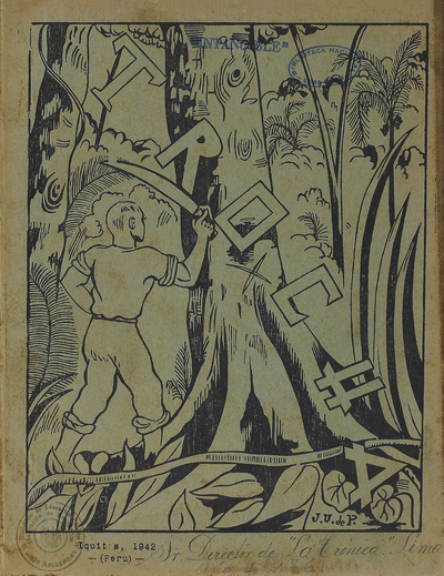
Pueblos
- NACIONES BARBARAS
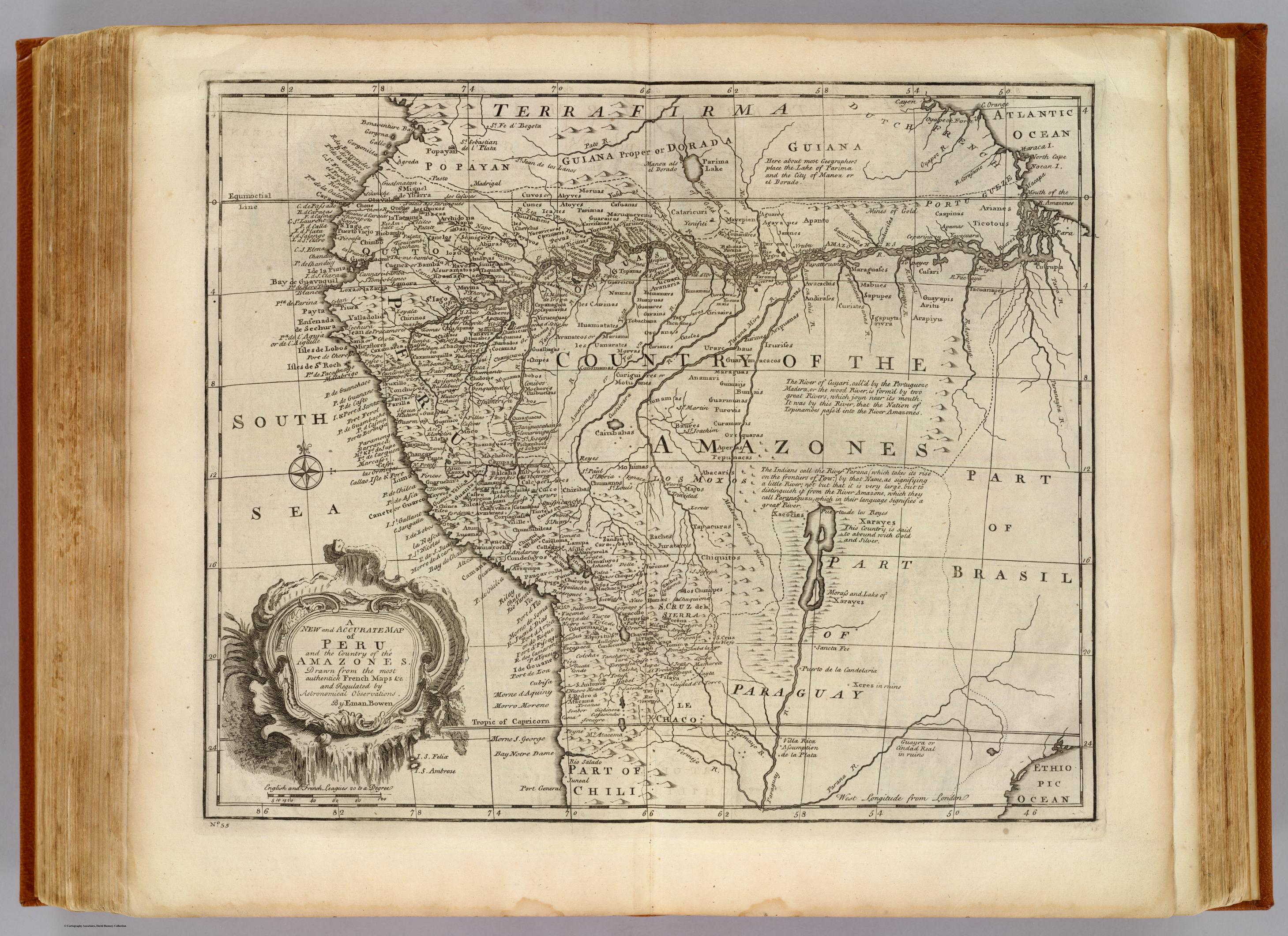
Cita
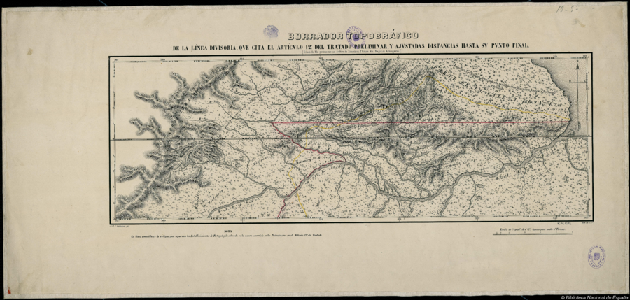
Calheiros, J. M. C. Borrador Topográfico de la línea divisoria, que cita el artículo 12º del tratado preliminar, y ajustadas distancias hasta su punto final. Map. Lisbon: Lith. da I. Nal., n.d. Accessed July 15, 2023. http://bdh.bne.es/bnesearch/detalle/bdh0000018321.