Pueblos
- GUARANI NANDEVA
Cita
Comissão Pró-Índio de São Paulo. "Terra Indígena Piaçaguera." Map. Comissão Pró-Índio de São Paulo. December 2016. Accessed July 3, 2023. https://cpisp.org.br/wp-content/uploads/2016/12/TI_Piacaguera.jpg.
PARTIE DE LA COLOMBIE
Mapa 1827
Property Ownership in 1900, Verapaz Guatemala
Mapa 1900
GEOGRAPHISCH-STATISTISCHE UND HISTORISCHE CHARTE VON COLUMBIA
Mapa 1824
Mapa topográfico del Obispado de Truxillo del Perú. Construido por su actual Obispo en la visita general personal que acava de hacer en dicho obispado, quien lo dedica al Señor Dn. Carlos Tercero, Rey Católico de las Españas y Augusto emperador y verdadero padre de sus Américas ;y delineado por Dn. Josef Clemente de Castillo ;Baltasar Jaime, Obispo de Truxillo
Mapa 1782 - 1785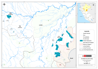
PUEBLO KAPANAWA
Mapa 2021
21
Obra de Arte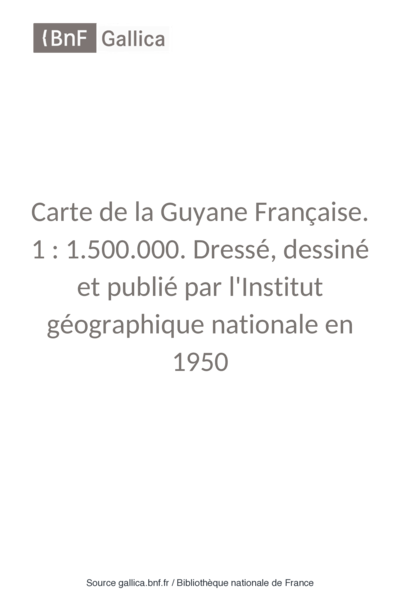
Carte de la Guyane Française.
Mapa 1951
Fig. 1 Map of the Guianas with schematic locations of the indigenous groups relevant to our study, based on the linguistic map of South America (http://www.muturzikin.com/cartesamerique/ 7.htm). Carib-speaking groups are indicated in yellow, Arawak-speaking groups in blue, Tupi-speaking Wayãpi in pink and the Warao-speaking group in green
Mapa 2000 - 2024