Pueblos
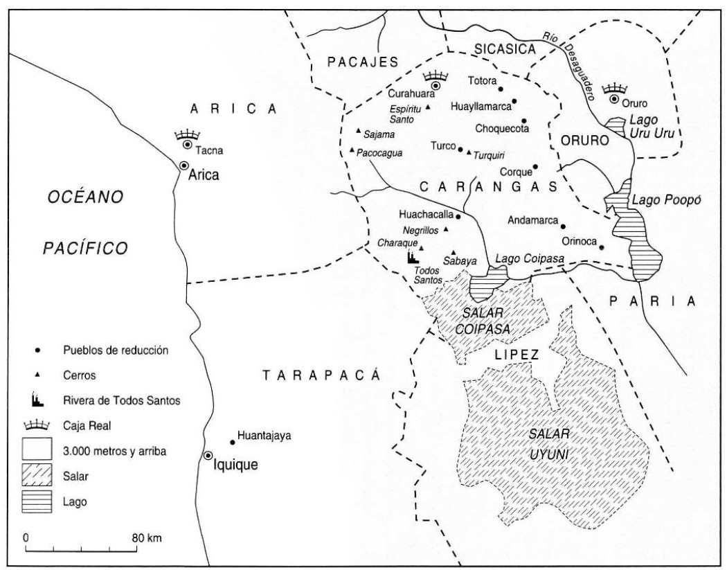
- CARANGAS
Cita
Gavira-Marquez, M. C. (2008). Población indígena, minería y sublevación en Carangas: La caja real de Carangas y el mineral de Huantajaya, 1750-1804. Instituto Francés de Estudios Andinos - CIHDE.
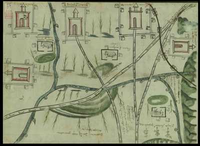
San Juan Baptista, San Luys Tezontla y Santa María Nochtongo. Oaxaca, 1579
Mapa 1579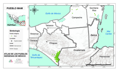
PUEBLO MAM
Mapa 2020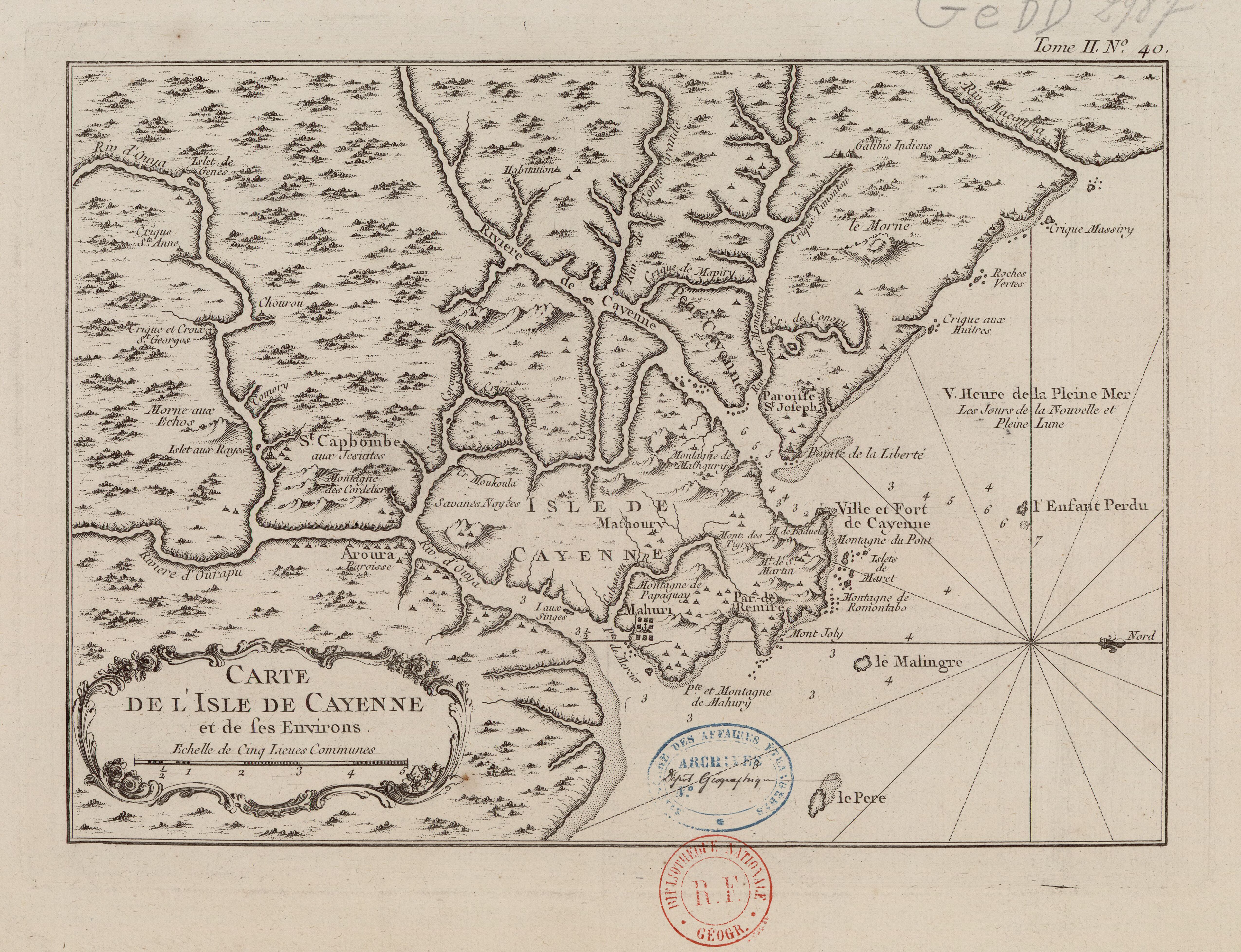
Carte de l'Isle de Cayenne et de ses environs
Mapa 1764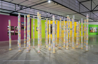
Amazonas aka merdolino
Obra de Arte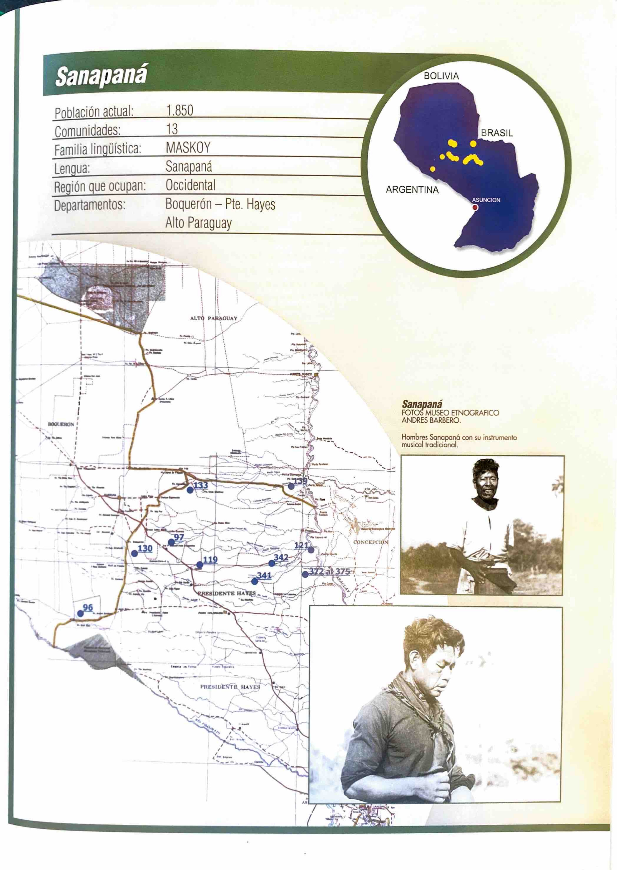
Sanapaná
Mapa 2001
Mosquitia or The Mosquito Shore with The Eastern Part of Yucatán as far as the 20th Degree of North Latitude
Mapa 1787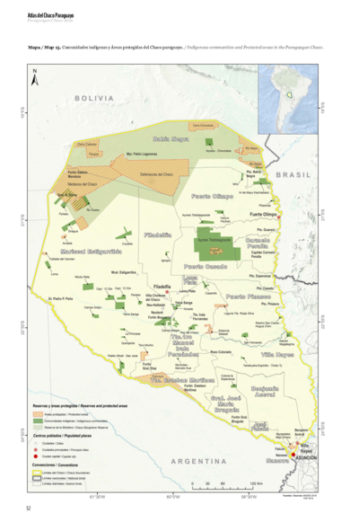
Comunidades indígenas y Áreas protegidas del Chaco paraguayo
Mapa 2020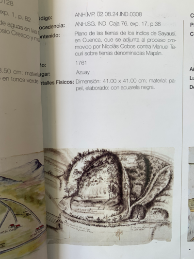
PLANO DE LAS TIERRAS DE SAYAUSÍ;EN CUENCA QUE SE ADJUNTA AL PROCESO PROMOVIDO POR NICOLÁS COBOS CONTRA MANUEL TACURI SOBRE TIERRAS DENOMIDAS MAPÁN
Mapa 1761