Dispossesions in the Americas

Dispossesions in the Americas

  • Inicio
  • Explorar
  • Autores
  • Sobre
  • Arte
  • Cuerpos
  • Planes de Estudio
  • Herencia Cultural
  • Mapas
  • Territorios
Volver a Explorar

Leyendo en Inglés

Mapa 2020

Bolivia Pueblos Indígenas

  • Rodriguez, Raul F. Molina

Publicado: 2020

  • Descargar Imágen
  • Descargar Imágen
Mapa 2020

Bolivia Pueblos Indígenas

  • Rodriguez, Raul F. Molina

Publicado: 2020

  • Descargar Imágen

Pueblos

  • AFROBOLIVIANO
  • ARAONA
  • AYMARA
  • AYOREO
  • BAURE
  • CAVINENO
  • CAYUBABA
  • CHACOBO
  • CHIMANI
  • CHIQUITANO
  • ESEEJJA
  • GUARANI
  • GUARAYO
  • JOAQUINIANO CANICHANA
  • LECO
  • MORE
  • MOSETEN
  • MOVIMA
  • MOXENO
  • PACAHUARA
  • PAICONECA
  • QUECHUA
  • REYESANO
  • SIRIONO
  • TAPIETE
  • TONAYA
  • TACANA
  • URU
  • WEENHAYEK
  • YAMINAHUA MACHINERI
  • YUQUI
  • YURAGARE

Citas

Rodriguez, Raul F. Molina. 2020. "Bolivia Pueblos Indígenas." Rincón de los Geógrafos. https://filac.net/ordpi/img/bolivia.jpg

  • Descargar Imágen

Artículos Relacionados

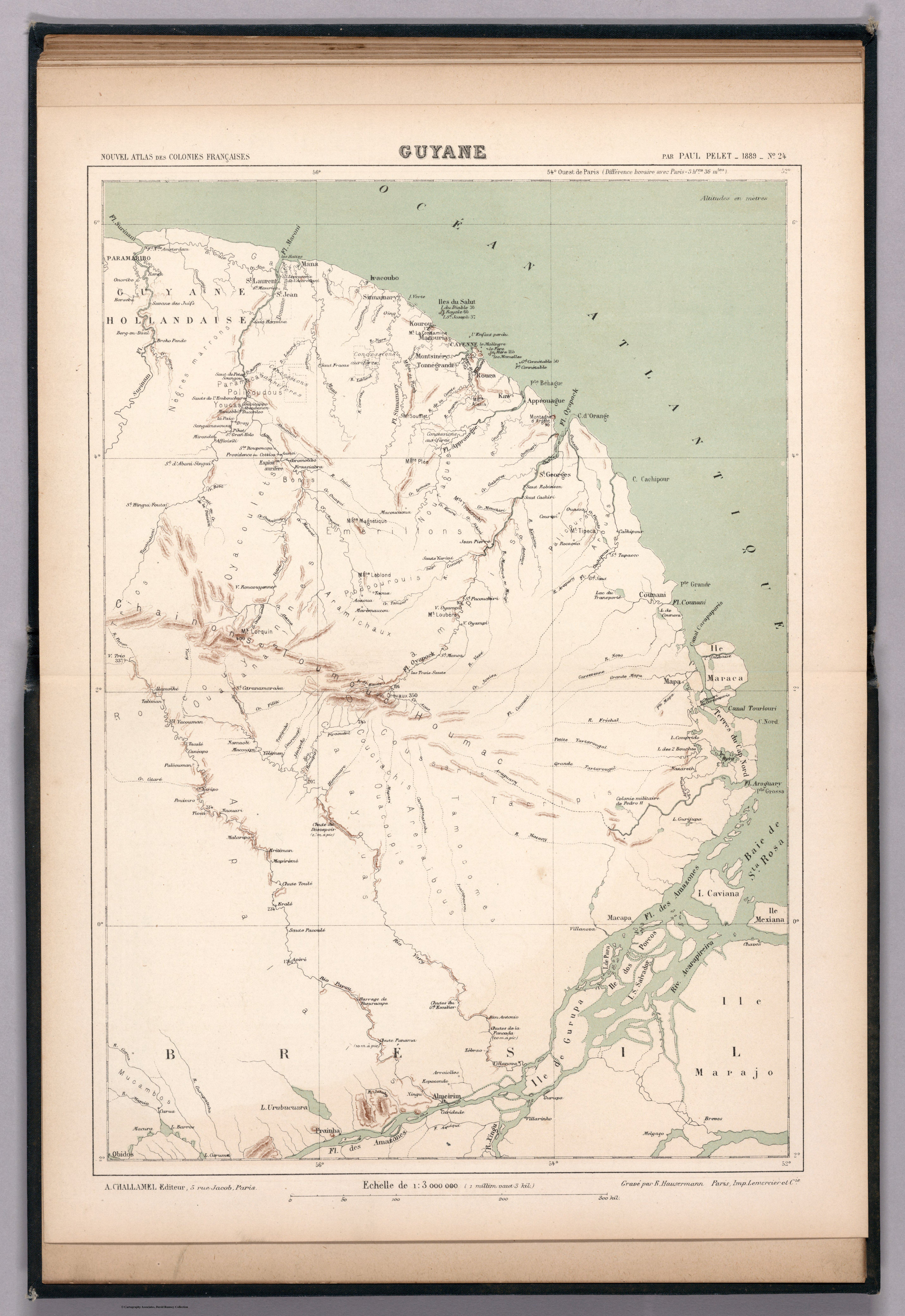
Guyane française. Carte géographo-géologique, dressée d'après les reconnaissances faites de 1867 à 1878 par le bureau du cadastre de Cayenne.

Guyane française. Carte géographo-géologique, dressée d'après les reconnaissances faites de 1867 à 1878 par le bureau du cadastre de Cayenne.

Mapa 1867 - 1878
TERRITORIO DEL SEÑORÍO  AYMARA DE LOS KILLAKAS A PRINCIPIOS DEL SIGLO XVI

TERRITORIO DEL SEÑORÍO AYMARA DE LOS KILLAKAS A PRINCIPIOS DEL SIGLO XVI

Mapa 1500 - 1530
CARTA ETNOGRÁFICA DE MEXICO

CARTA ETNOGRÁFICA DE MEXICO

Mapa 1864
[Embouchure de l'Oyapock].

[Embouchure de l'Oyapock].

Mapa 1700 - 1799
CARTA PLANA DE LA PROVINCIA DE CARACAS Ó VENEZUELA

CARTA PLANA DE LA PROVINCIA DE CARACAS Ó VENEZUELA

Mapa 1787
"Descripción del Valle de Chimo y planisphérica de la Ciudad de Truxillo del Perú".

"Descripción del Valle de Chimo y planisphérica de la Ciudad de Truxillo del Perú".

Mapa 1760
Government map of Nicaragua : from the latest surveys ordered by President Patricio Rivas and Genl. William Walker ;executed under the supervision of the Señor Fermín Ferrer;Governor of the Western Department;1856

Government map of Nicaragua : from the latest surveys ordered by President Patricio Rivas and Genl. William Walker ;executed under the supervision of the Señor Fermín Ferrer;Governor of the Western Department;1856

Mapa 1800 - 1856
Territorio ópata

Territorio ópata

Mapa 2015

Despojos en las Américas

Un Proyecto de

University of Pennsylvania

Copyright 2024

Con el apoyo de

Mellon Foundation

Diseño y Desarrollo del Sitio

Element 84

Créditos Artísticos

Rodriguez, Raul F. Molina. 2020. “Bolivia Pueblos Indígenas.” Rincón de los Geógrafos. https://filac.net/ordpi/img/bolivia.jpg
Páginas del Sitio

  • Inicio
  • Explorar
  • Autores
  • Sobre
  • Arte
  • Cuerpos
  • Planes de Estudio
  • Herencia Cultural
  • Mapas
  • Territorios