Dispossesions in the Americas

Dispossesions in the Americas

  • Inicio
  • Explorar
  • Autores
  • Sobre
  • Arte
  • Cuerpos
  • Planes de Estudio
  • Herencia Cultural
  • Mapas
  • Territorios
Volver a Explorar

Leyendo en Inglés

Mapa 1997

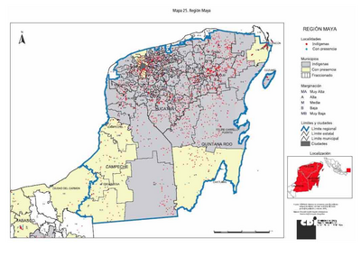
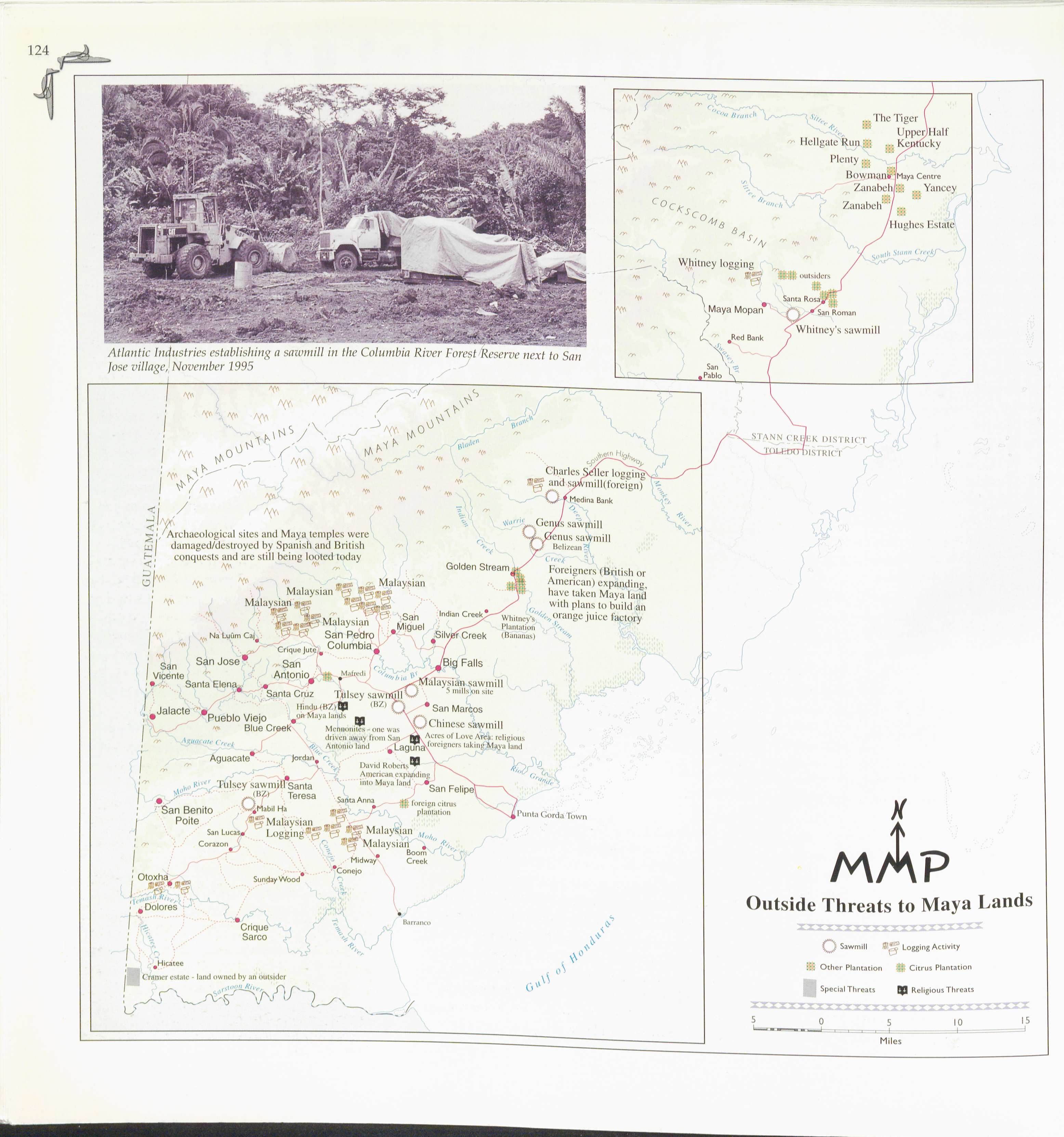
Outside Threats to Maya Lands

    Publicado: 1997

    • Descargar Imágen
    • Descargar Imágen
    Mapa 1997

    Outside Threats to Maya Lands

      Publicado: 1997

      • Descargar Imágen

      Pueblos

      • MAYA

      Citas

      "Outside Threats to Maya Lands." In Maya Atlas: The Struggle to Preserve Maya Land in Southern Belize, 124. Berkeley, CA: North Atlantic Books. 1997 BOOK
      • Descargar Imágen

      Artículos Relacionados

      TOBA

      TOBA

      Mapa 2015
      Carte de la Guyane d'après les termes du traité d'Utrecht / publiée par la Société d'études pour la colonisation de la Guyane française

      Carte de la Guyane d'après les termes du traité d'Utrecht / publiée par la Société d'études pour la colonisation de la Guyane française

      Mapa 1843
      PUEBLO SHARANAHUA

      PUEBLO SHARANAHUA

      Mapa 2021
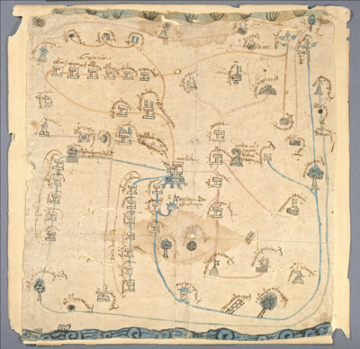
      Detail from the 1770 copy of Francisco Álvarez Barreiro’s 1728 map of northern New Spain illustrating Spanish mapping of Indian domains in southern Texas and along the Gulf Coast, especially through the repetition of labels: “tierra de los Pampopas,” “tierra de los Carrizos,” “tierra de los Cujanes,” etc.

      Detail from the 1770 copy of Francisco Álvarez Barreiro’s 1728 map of northern New Spain illustrating Spanish mapping of Indian domains in southern Texas and along the Gulf Coast, especially through the repetition of labels: “tierra de los Pampopas,” “tierra de los Carrizos,” “tierra de los Cujanes,” etc.

      Mapa 1728
      PUEBLO CHAPRA

      PUEBLO CHAPRA

      Mapa 2021
      Prehispanic Distribution of the Otomí Family

      Prehispanic Distribution of the Otomí Family

      Mapa 1969
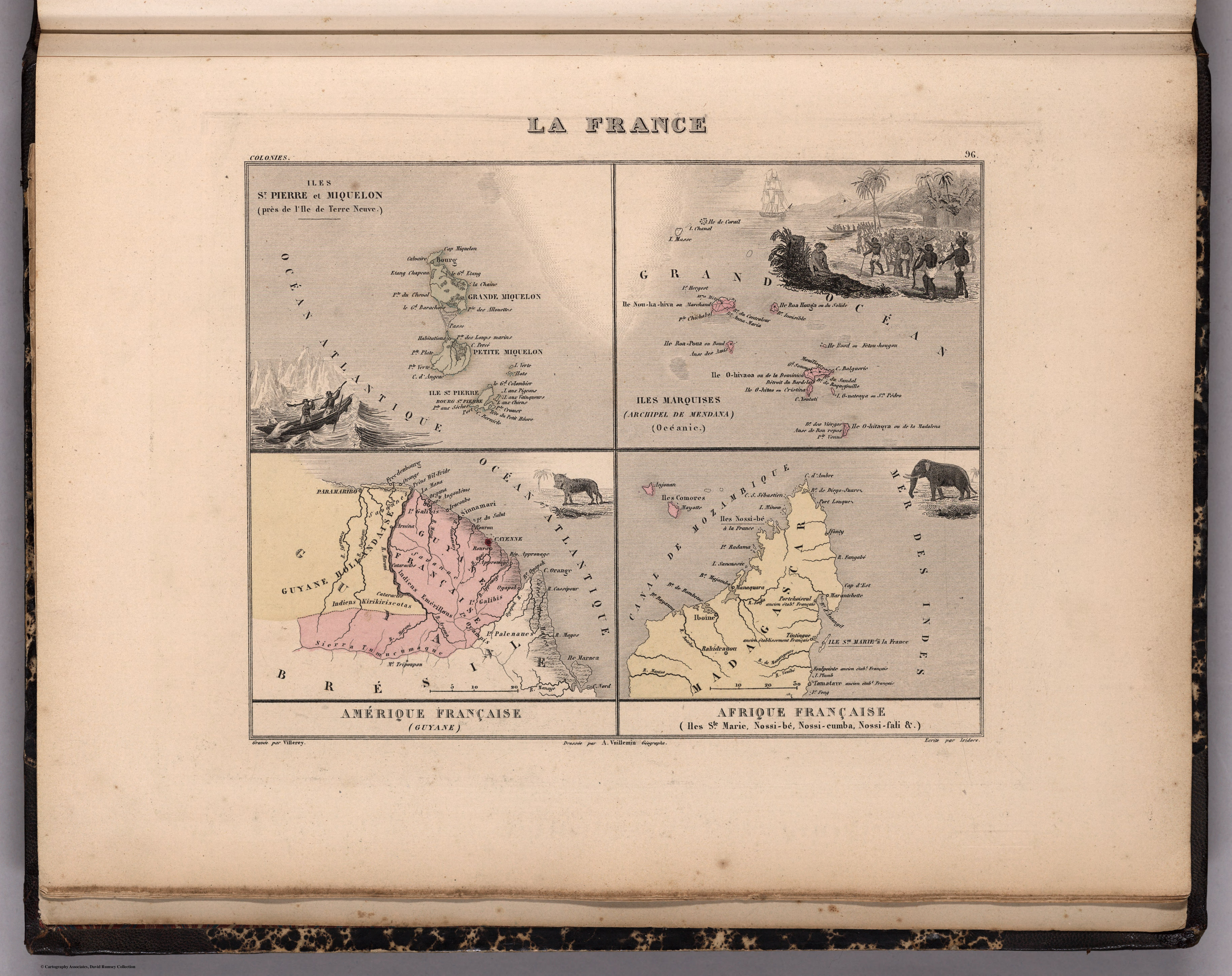
      K. GUIANA. I. DAS BRITISCHE, II. [DAS] NIEDERLAENDISCHE, III. [DAS FRANZÖSISCHE.]

      K. GUIANA. I. DAS BRITISCHE, II. [DAS] NIEDERLAENDISCHE, III. [DAS FRANZÖSISCHE.]

      Mapa 1800 - 1899
      Terra Indígena Vale do Javarí

      Terra Indígena Vale do Javarí

      Mapa 2000 - 2099

      Despojos en las Américas

      Un Proyecto de

      University of Pennsylvania

      Copyright 2024

      Con el apoyo de

      Mellon Foundation

      Diseño y Desarrollo del Sitio

      Element 84

      Créditos Artísticos

      “Outside Threats to Maya Lands.” In Maya Atlas: The Struggle to Preserve Maya Land in Southern Belize, 124. Berkeley, CA: North Atlantic Books. 1997 BOOK
      Páginas del Sitio

      • Inicio
      • Explorar
      • Autores
      • Sobre
      • Arte
      • Cuerpos
      • Planes de Estudio
      • Herencia Cultural
      • Mapas
      • Territorios