
Cita
United States Department of Commerce, Transportation Department. 1920. "Railroad Map of British Honduras." https://hdl.loc.gov/loc.wdl/wdl.11329
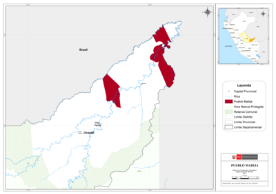
PUEBLO MADIJA
Mapa 2021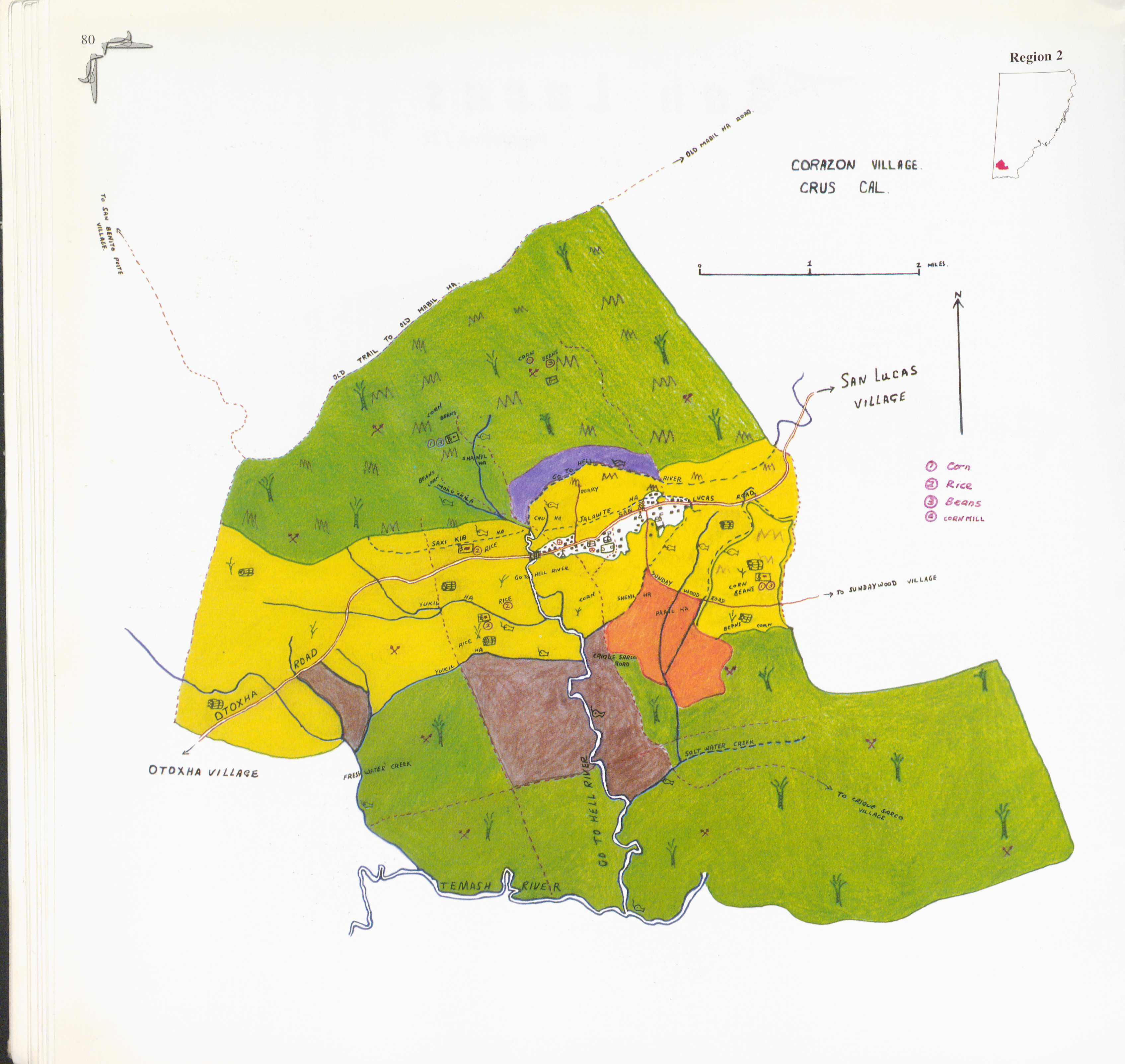
Corazon
Mapa 1997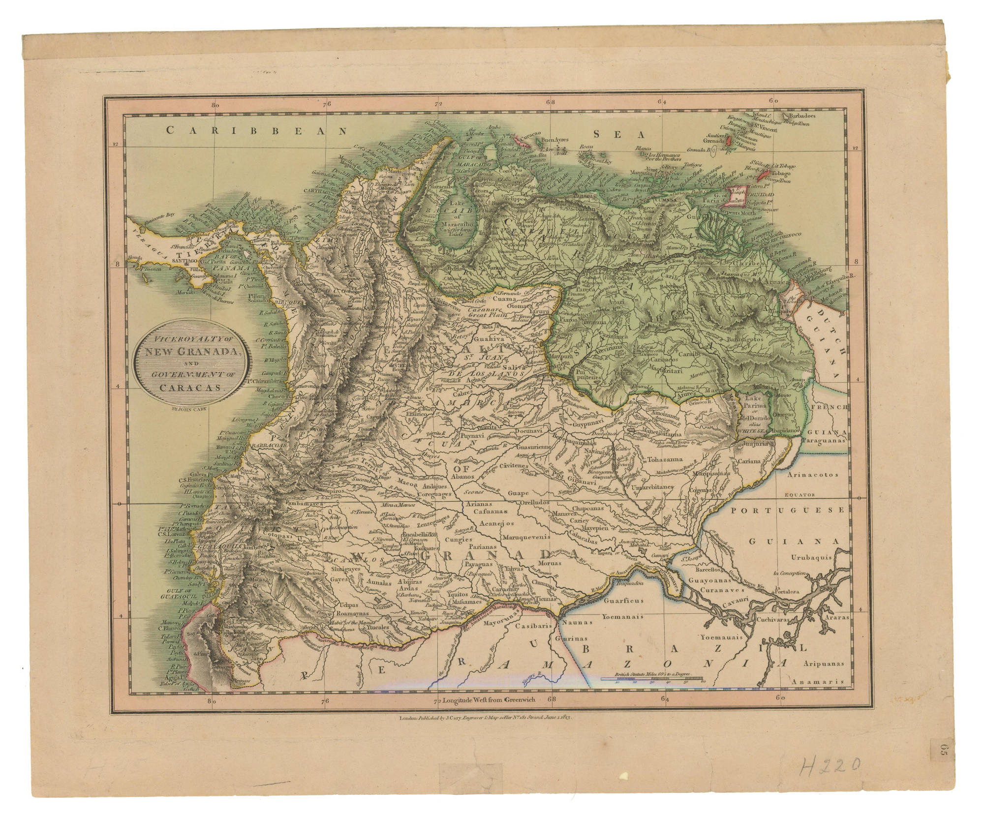
VICEROYALTY OF NEW GRANADA AND GOVERNMENT OF CARACAS
Mapa 1813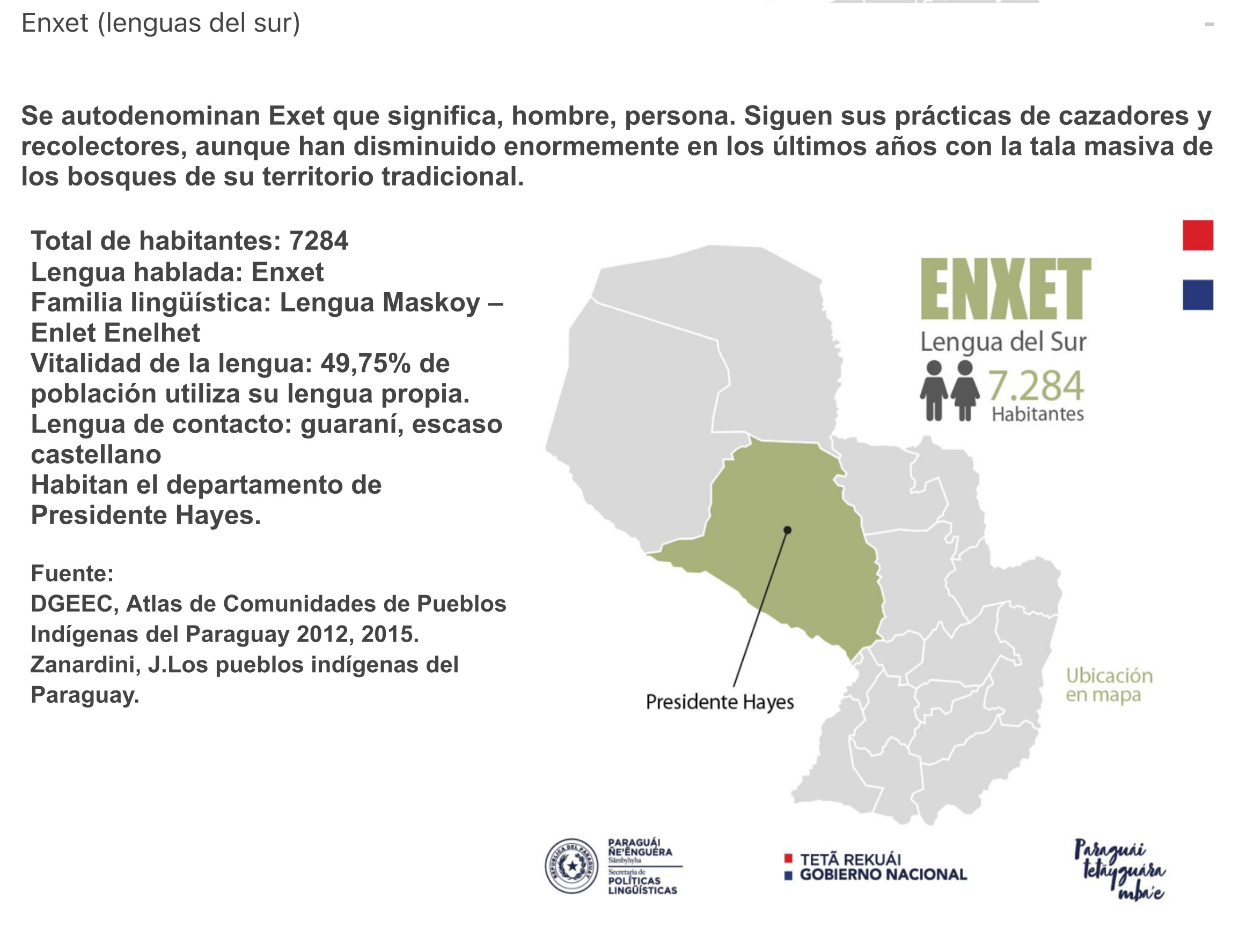
ENXET Lengua del Sur
Mapa 2015
Esculpir el Silencio
Obra de Arte
El manifiesto PrEP
Obra de Arte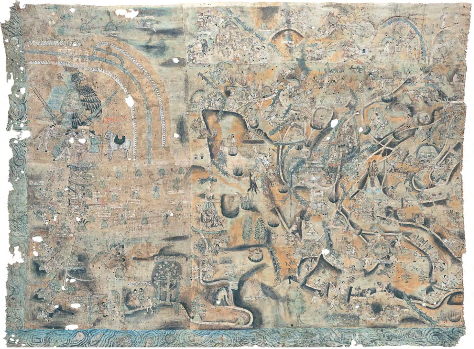
LIENZO DE QUAUHQUECHOLLAN
Mapa 1500 - 1599
The Spanish and Musketor shore and the bay of Honduras and the islands adjacent
Mapa 1735