Pueblos
- MOSQUITO
Cita
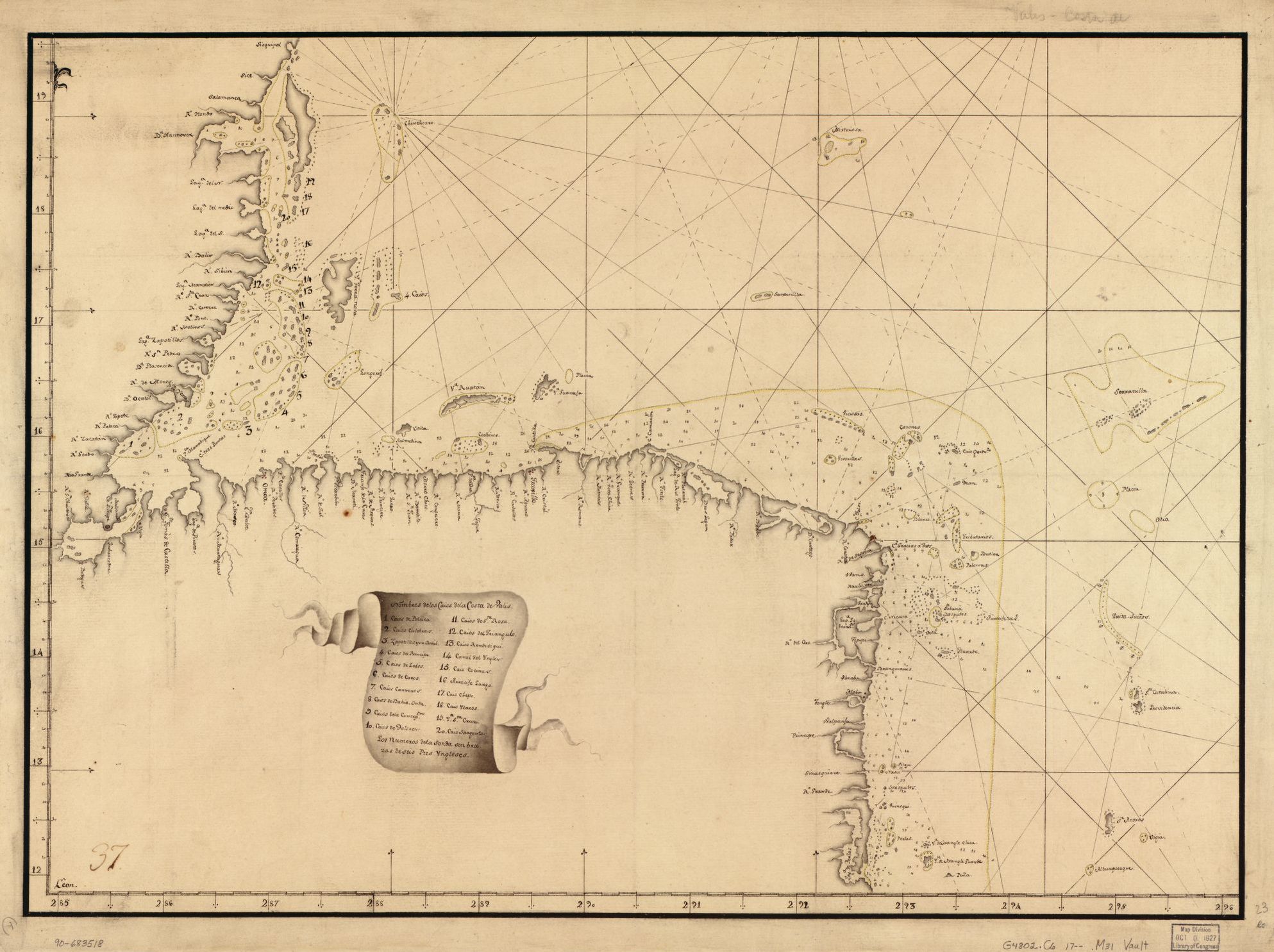
Pieter van Ley. n.d. "Map showing Caribbean coast of Central America from Belize to Nicaragua." Library of Congress Geography and Map Division, G4802.C6 17-- .M31. http://hdl.loc.gov/loc.gmd/g4802c.lh000067
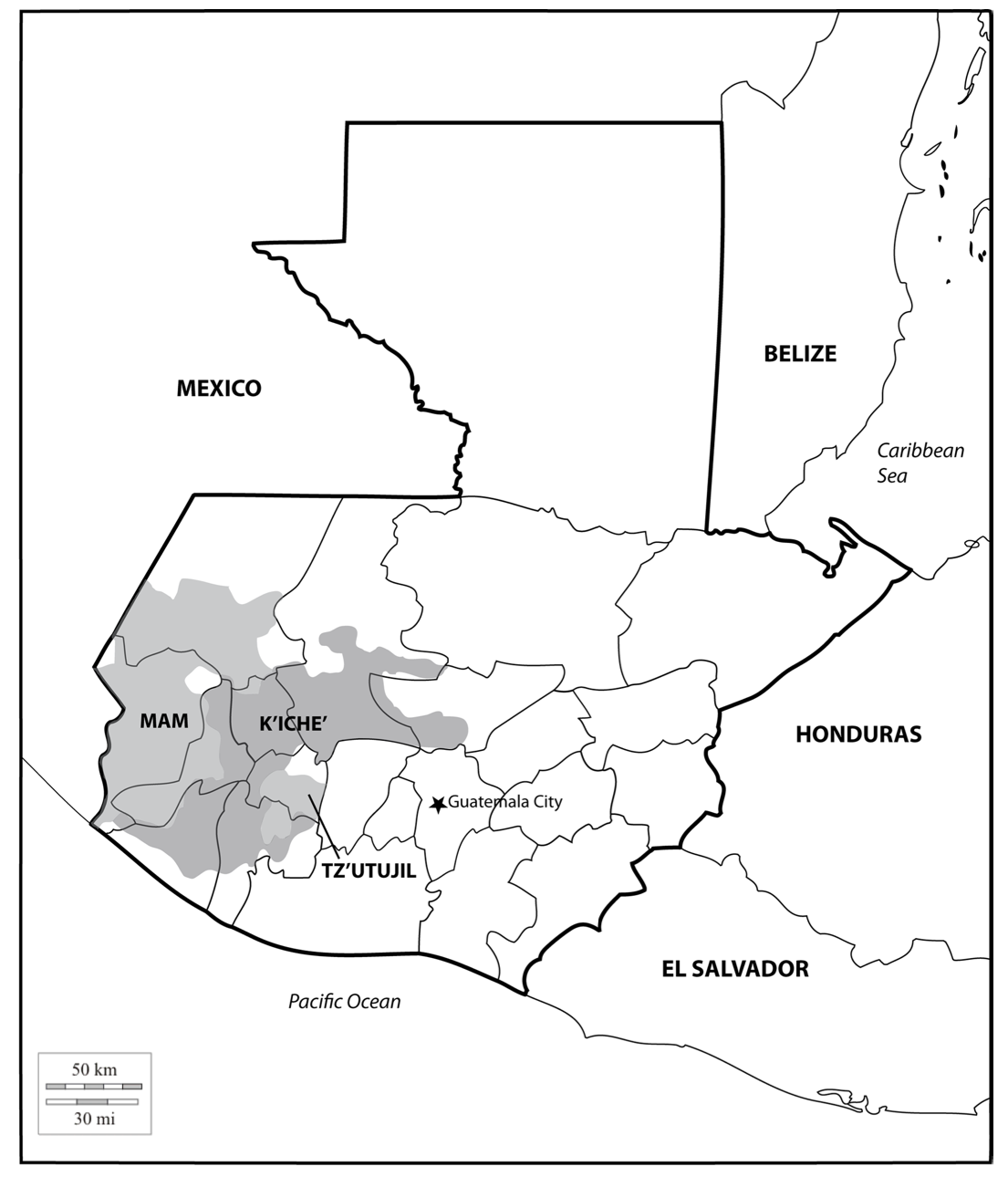
Location of three ethno-linguistic groups in the highlands of Guatemala in which joint InHerit-Riecken community-participant mapping took place. Adapted from http://d-maps. com/carte.php?num_car=1717&lang=en)
Mapa 2000
El mundo entero está mirando: Todas las mujeres son bienvenidas
Obra de Arte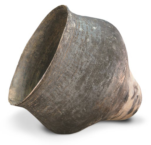
AM, Brasil - Vasija
Obra de Arte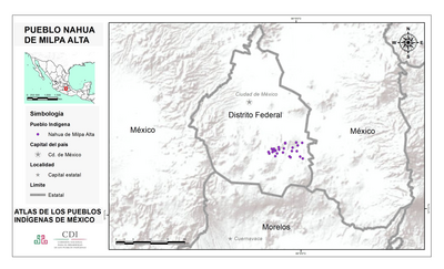
PUEBLO NAHUA DE MILPA ALTA
Mapa 2020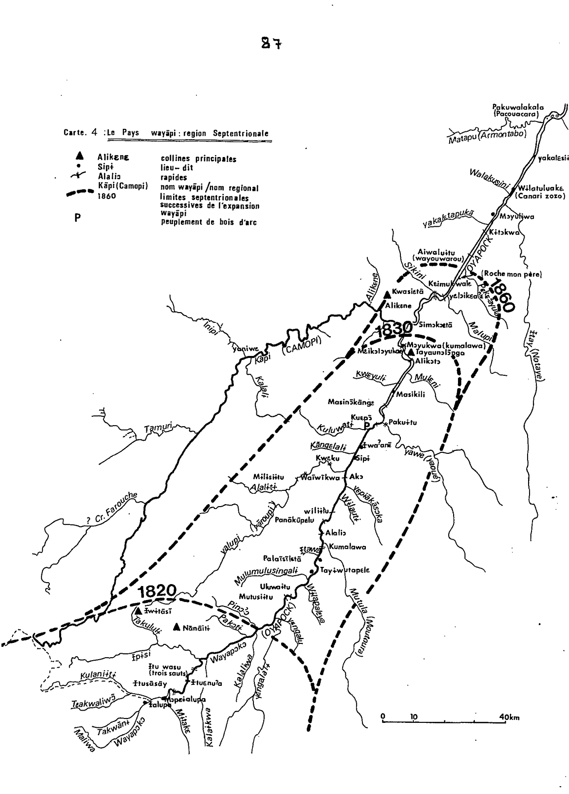
Carte 4: Le Pays Wayãpi : region Septentrionale
Mapa 1820 - 1860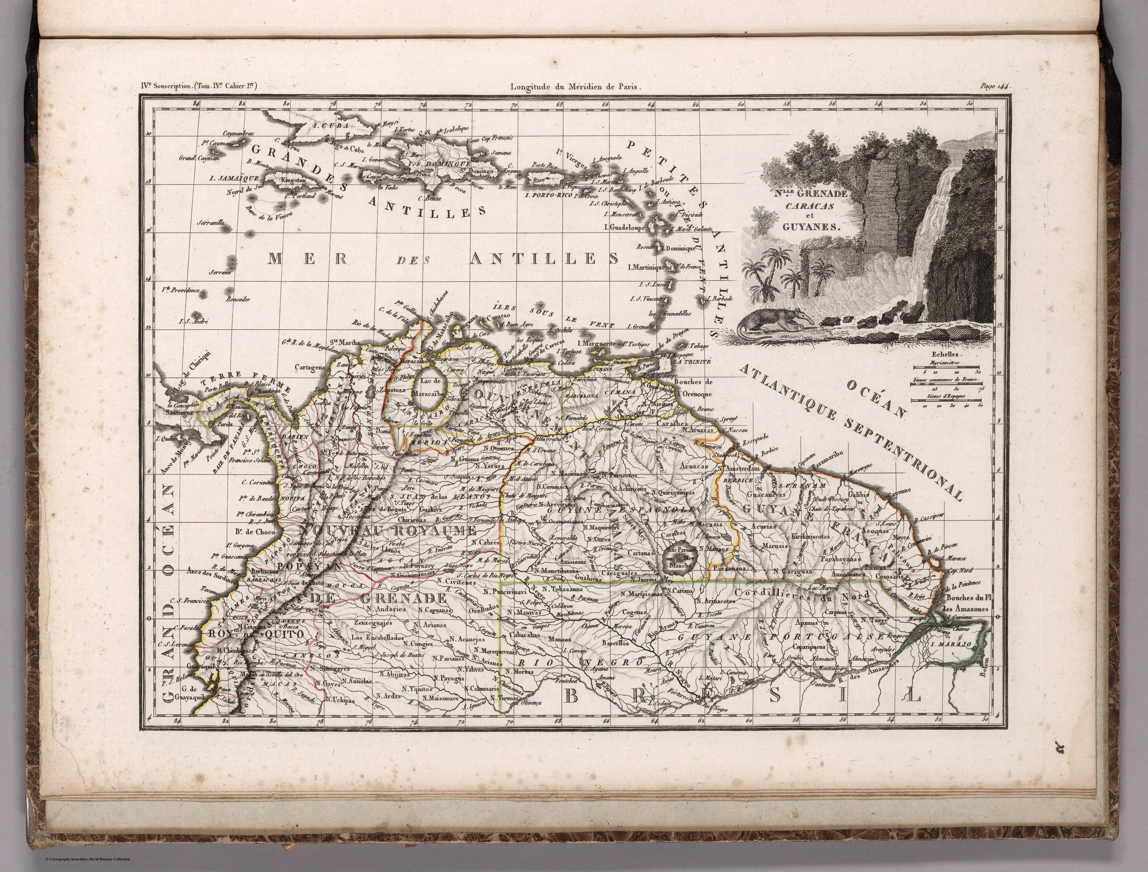
NLLE. GRENADE CARACAS ET GUYANES.
Mapa 1812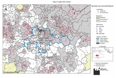
REGIÓN VALLES CENTRALES
Mapa 2000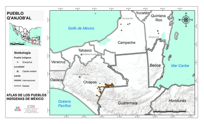
PUEBLO Q'ANJOB'AL
Mapa 2020