Pueblos
- PULARES
- PALOGASTAS
- CACHIS
Cita
Argentina. Archivo General de la Nación. Sala 9 (9-35-7-6 (1) o 9/3033). "Dibujo de las tierras de los padres regulares espulsos y litixio con los indios, Pulares, Palogastas y Cachis. 1790"
FACSIMILE: NORTHERN PORTION OF SOUTH AMERICA
Mapa 1703
A NEW MAP OF BRAZIL, COMPILED FROM THE LATEST Government & other Authentic Surveys.
Mapa 1866
SEÑORÍOS AYMARAS DE LOS CHARKA Y ENTIDADES POLÍTICAS VECINAS NO AYMARAS, A FINALES DEL SIGLO XV Y PRINCIPIOS DEL SIGLO XVI
Mapa 1500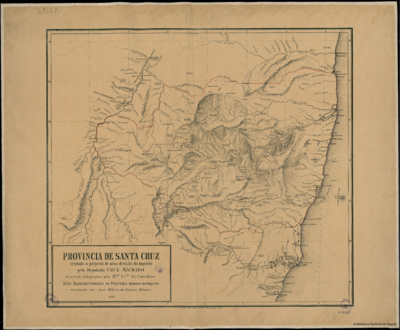
PROVINCIA DE SANTA CRUZ
Mapa 1873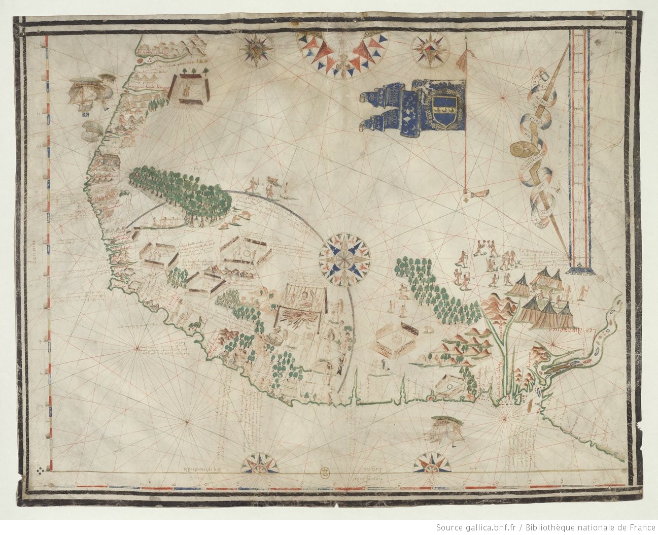
Carte de la cote du Bresil
Mapa 1579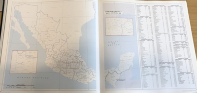
Subdelegaciones de la Nueva España en 1800
Mapa 1800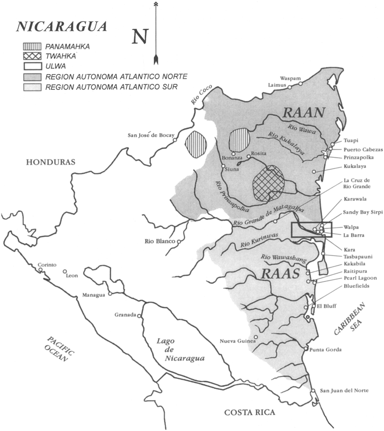
Map of Nicaragua showing Ulwa settlements in Eastern Nicaragua and field study sites (in rectangle)
Mapa 1990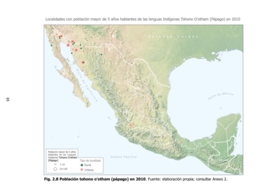
Población tohono o'otham (pápago) en 2010
Mapa 2010