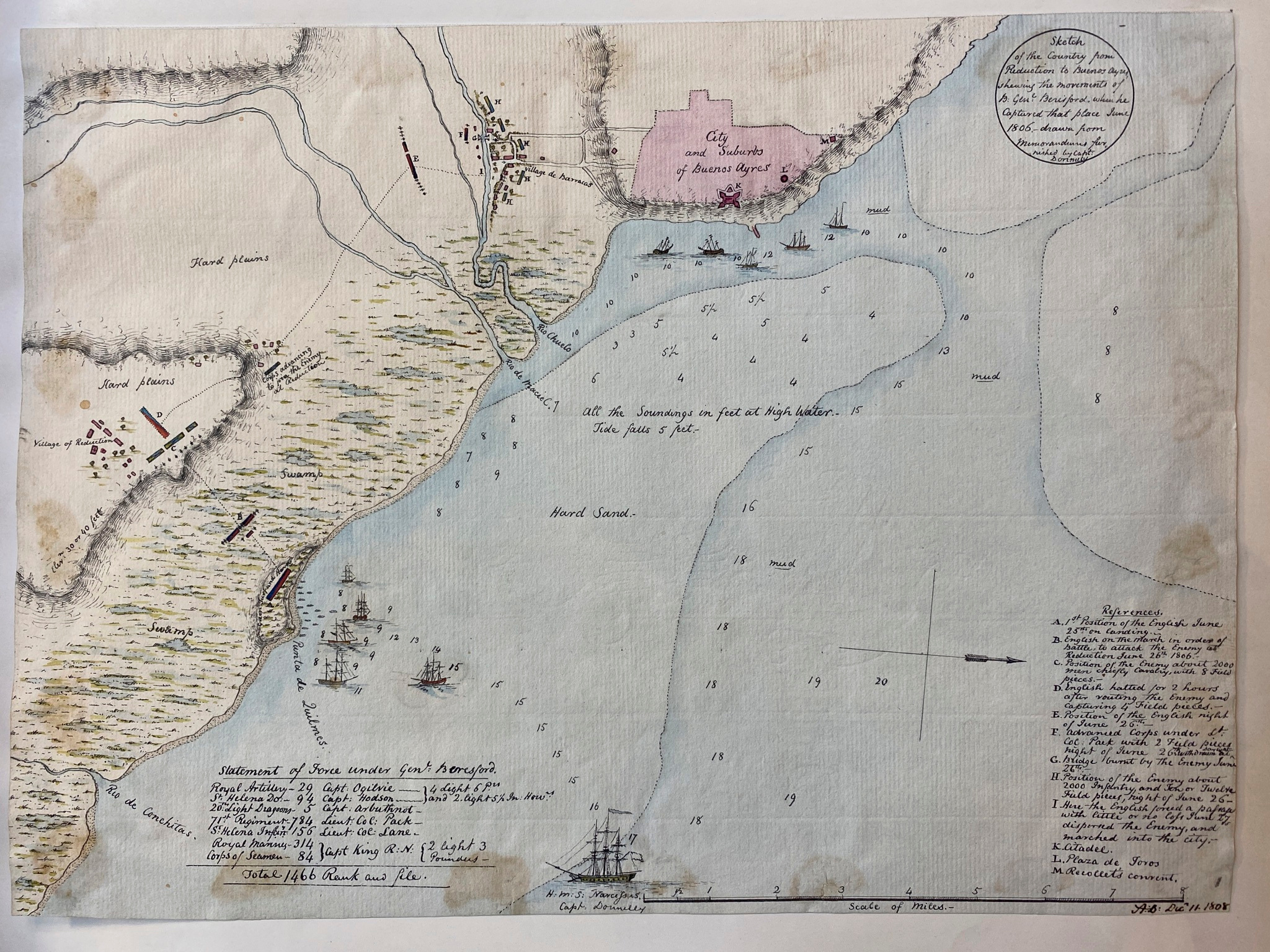
CitasDonelly, Ross. Sketch of the country from reduction to Buenos Ayres, shewing the movements of B. Genl. Beresford, when he captured that place June 1806. Drawn from memorandums furnished by Capt: Donnelly. Map. Buenos Aires, Argentina, 1808. Accessed October 17, 2023. https://jcb.lunaimaging.com/luna/servlet/detail/JCBMAPS~1~1~3561~101728:-Map-1--Sketch-of-the-country-from-?qvq=q:beresford;lc:JCBMAPS~2~2,JCBMAPS~1~1,JCB~1~1,JCBBOOKS~1~1,JCB~3~3,JCBMAPS~3~3&mi=0&trs=66.
Donelly, Ross. Sketch of the country from reduction to Buenos Ayres, shewing the movements of B. Genl. Beresford, when he captured that place June 1806. Drawn from memorandums furnished by Capt: Donnelly. Map. Buenos Aires, Argentina, 1808. Accessed October 17, 2023. https://jcb.lunaimaging.com/luna/servlet/detail/JCBMAPS~1~1~3561~101728:-Map-1--Sketch-of-the-country-from-?qvq=q:beresford;lc:JCBMAPS~2~2,JCBMAPS~1~1,JCB~1~1,JCBBOOKS~1~1,JCB~3~3,JCBMAPS~3~3&mi=0&trs=66.
![Kowkülen [Ser líquido]](https://dnet8ble6lm7w.cloudfront.net/art_sm/AECU003.png)
