Pueblos
- POYAS
- PUELCHES
- PEGUENCHES
- AUCAES
- SERRANOS
- TOELCHES
- INDIOS DE A PIE
Cita
Biblioteca Nacional de España, Sala Goya - Cartografía, Call number: MR/42/362/1, Código de barras: 1002003350. http://bdh.bne.es/bnesearch/detalle/bdh0000032721
LE BRESIL, dont la Coste est posse dée par les portugais et divisée en Quatorze Capitanieries.
Mapa 1656
SKETCH MAP OF BRITISH GUIANA
Mapa 1835 - 1839
Honduras: Distribution of ethnic groups, ca. 1980 (Davidson and Counce 1989)
Mapa 1980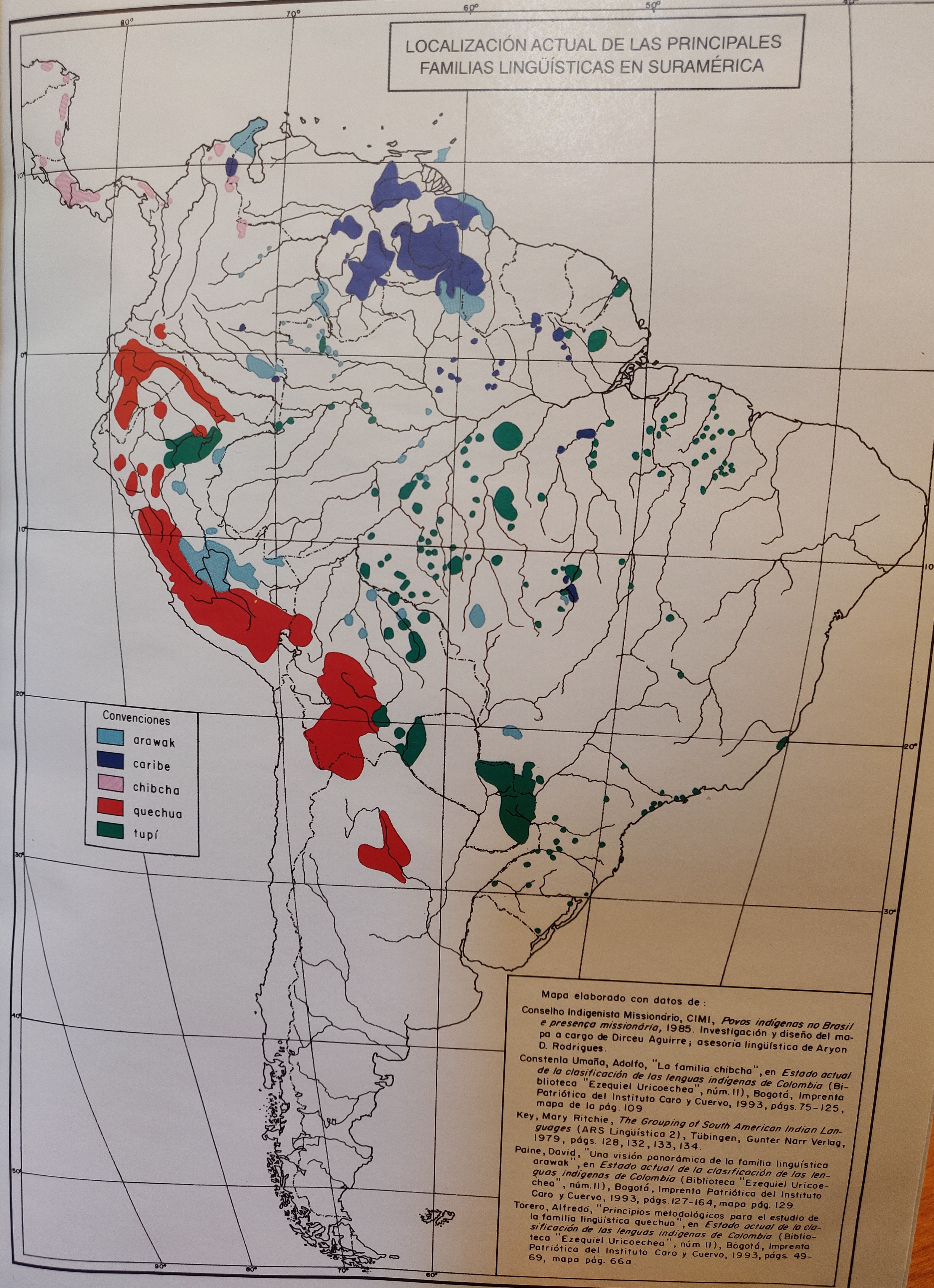
LOCALIZACIÓN ACTUAL DE LAS PRINCIPALES FAMILIAS LINGÜÍSTICAS EN SURAMÉRICA
Mapa 2000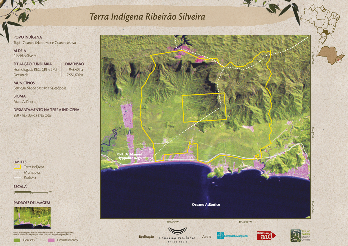
Terra Indígena Ribeirão Silveira
Mapa 2011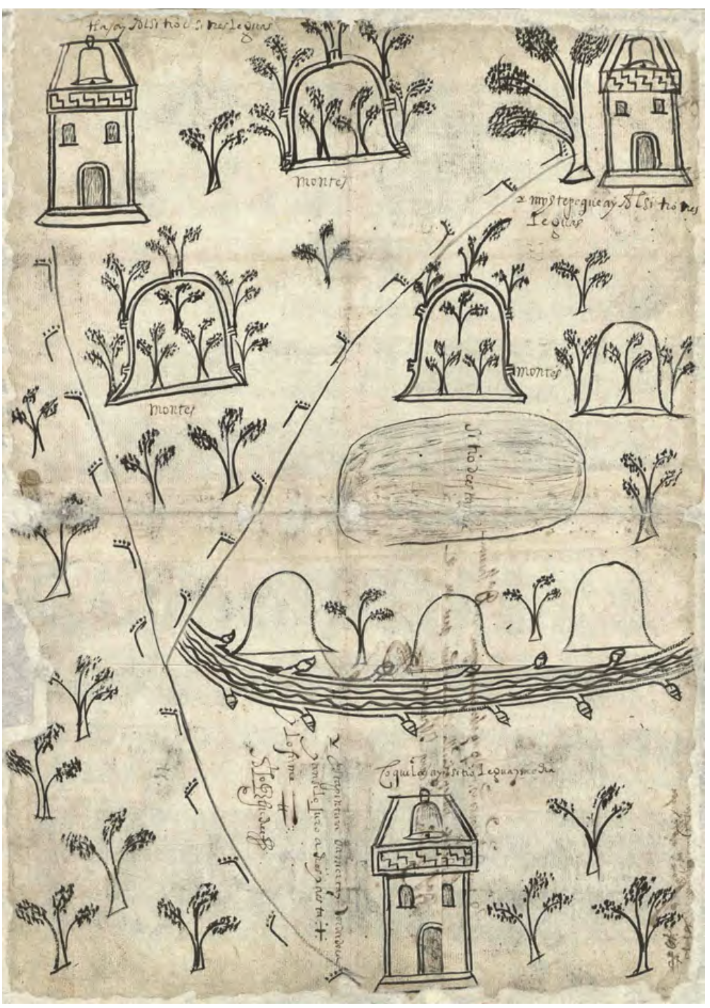
MAPA DE SANTA MARÍA CUPILA
Mapa 1500 - 1599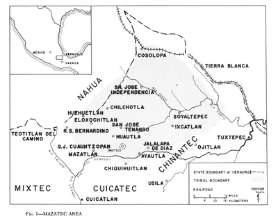
Mazatec Area
Mapa 1969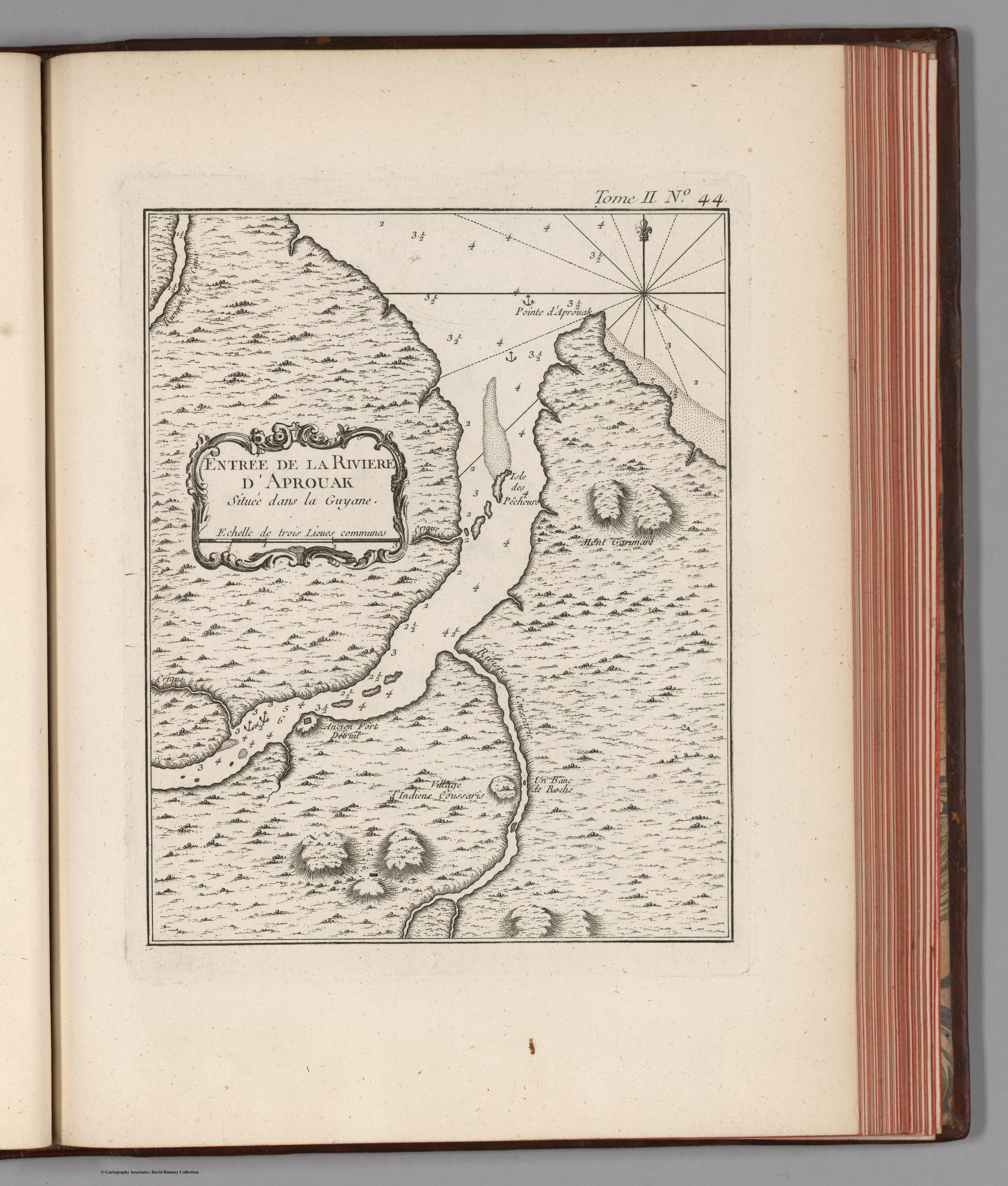
Entree de la Riviere d'Aprouak situee dans la Guyane
Mapa 1767