Pueblos
- PATAGONES
- PAMPAS
- DIAGUITAS
- MOCOBI
- TOBAS
- CHIRIGUANOS
Cita
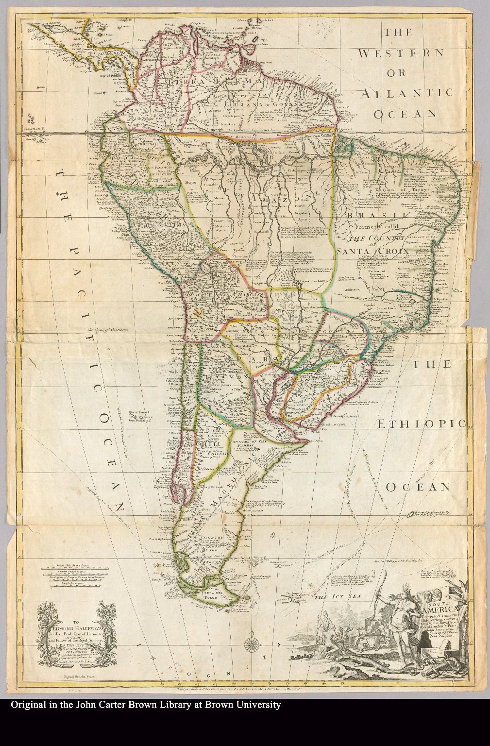
Senex, John. South America corrected from the observation communicated to the Royal Society"s of London & Paris by John Senex, at the Globe against St. Dunstans Church Fleetstreet. Map. London, 1755. https://jcb.lunaimaging.com/luna/servlet/detail/JCBMAPS~1~1~3366~101609:South-America-corrected-from-the-ob#