Dispossesions in the Americas

Dispossesions in the Americas

  • Inicio
  • Explorar
  • Autores
  • Sobre
  • Arte
  • Cuerpos
  • Planes de Estudio
  • Herencia Cultural
  • Mapas
  • Territorios
Volver a Explorar

Leyendo en Inglés

Mapa 1716

A New Map of Part /of the Great River / De la Plata, /of Tucuman / and the adjacent Countries, from Buenos Ayres to Potosí

  • Moll, H.

Publicado: 1716

  • Descargar Imágen
  • Descargar Imágen
Mapa 1716

A New Map of Part /of the Great River / De la Plata, /of Tucuman / and the adjacent Countries, from Buenos Ayres to Potosí

  • Moll, H.

Publicado: 1716

  • Descargar Imágen

Pueblos

  • MATACOS
  • TOBAS
  • GUAYCURUES
  • MOCOVIES
  • CHIRIGUANOS
  • OVANAS
  • GUISNAIS
  • TIRUMBAES

Citas

Moll, H. "A New Map of Part /of the Great River / De la Plata, /of Tucuman / and the adjacent Countries, from Buenos Ayres to Potosí." Map. 1716. 7 - 134 (1). Archivo General de la Nacion Argentina.
  • Descargar Imágen

Artículos Relacionados

REPUBLICA ARGENTINA CHILE-URUGUAY-PARAGUAY

REPUBLICA ARGENTINA CHILE-URUGUAY-PARAGUAY

Mapa 1884
Territory of the Jumanos, Mansos, and Sumas

Territory of the Jumanos, Mansos, and Sumas

Mapa 1997
Voyage d'exploration du Docteur Crevaux, 9 juillet - 31 novembre 1877 : distribution des sauvages dans les Guyanes.

Voyage d'exploration du Docteur Crevaux, 9 juillet - 31 novembre 1877 : distribution des sauvages dans les Guyanes.

Mapa 1877
CARTA DO SUL DO IMPERIO BRASIL, comprehandendo as PROVINCIAS RIO GRANDE do SUL, STA. CATHARINA e PARANA

CARTA DO SUL DO IMPERIO BRASIL, comprehandendo as PROVINCIAS RIO GRANDE do SUL, STA. CATHARINA e PARANA

Mapa 1885
CARTE de la PROVINCE de CORRIENTES du TERRITOIRE des MISSIONS et des PAYS ADJACENTS

CARTE de la PROVINCE de CORRIENTES du TERRITOIRE des MISSIONS et des PAYS ADJACENTS

Mapa 1865
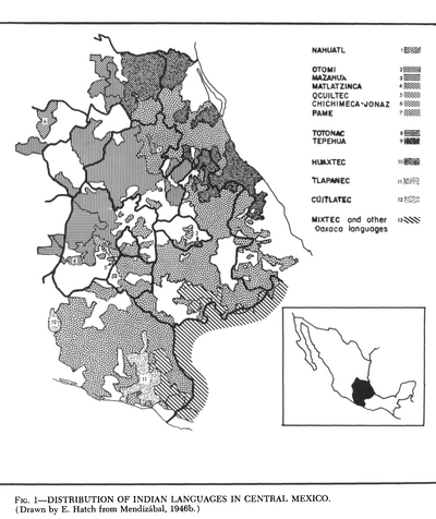
Present Distribution of the Otomi Family

Present Distribution of the Otomi Family

Mapa 1969
Mapa de las tierras indígenas - Familias lingüísticas

Mapa de las tierras indígenas - Familias lingüísticas

Mapa 2017
Los Chorti: Most important minicipios, 2001

Los Chorti: Most important minicipios, 2001

Mapa 2001

Despojos en las Américas

Un Proyecto de

University of Pennsylvania

Copyright 2024

Con el apoyo de

Mellon Foundation

Diseño y Desarrollo del Sitio

Element 84

Créditos Artísticos

Moll, H. “A New Map of Part /of the Great River / De la Plata, /of Tucuman / and the adjacent Countries, from Buenos Ayres to Potosí.” Map. 1716. 7 - 134 (1). Archivo General de la Nacion Argentina.
Páginas del Sitio

  • Inicio
  • Explorar
  • Autores
  • Sobre
  • Arte
  • Cuerpos
  • Planes de Estudio
  • Herencia Cultural
  • Mapas
  • Territorios