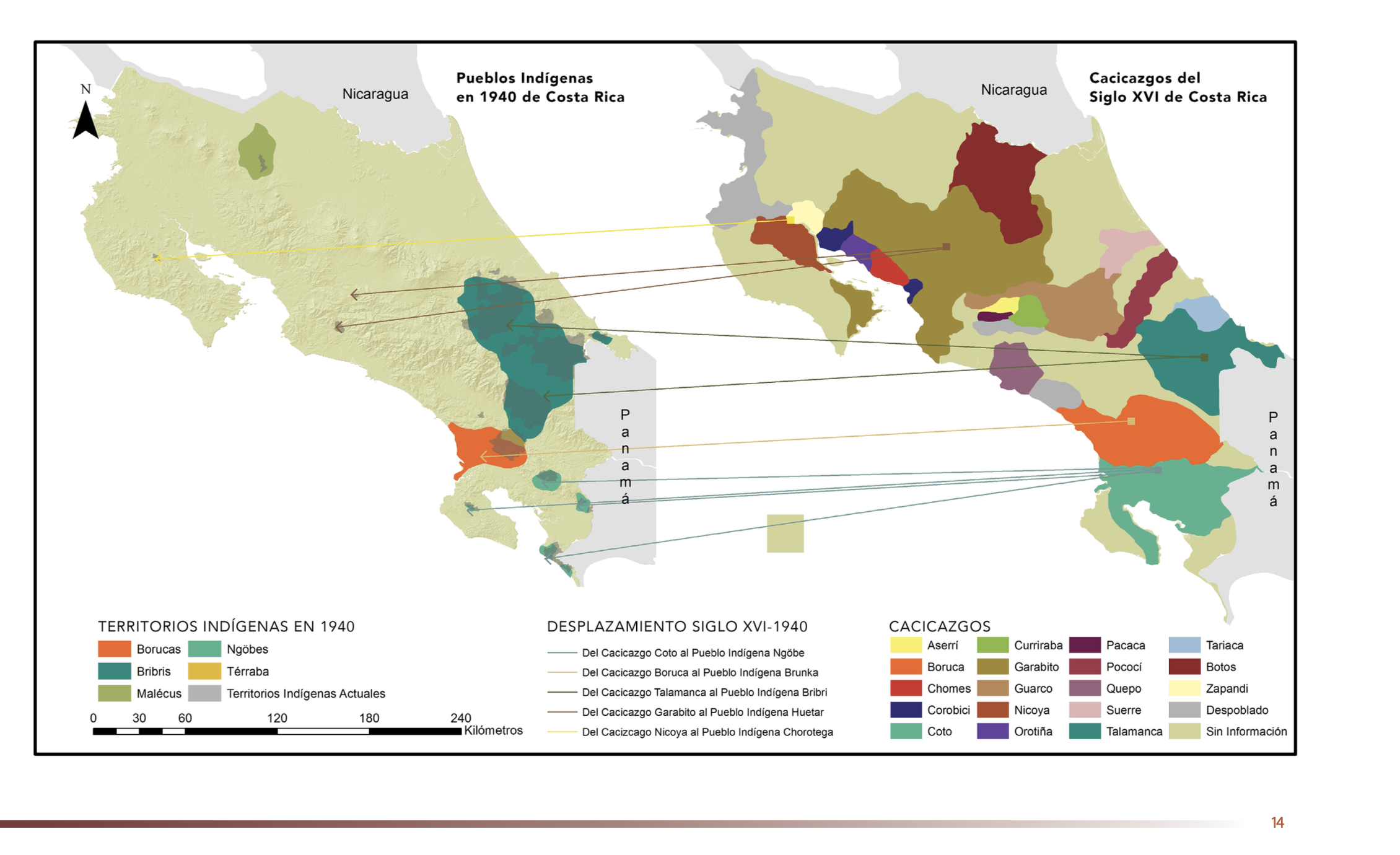
Dispossesions in the Americas

Dispossesions in the Americas

  • Inicio
  • Explorar
  • Autores
  • Sobre
  • Arte
  • Cuerpos
  • Planes de Estudio
  • Herencia Cultural
  • Mapas
  • Territorios
Volver a Explorar

Leyendo en Inglés

Mapa 1771

South America: From the latest Discoveries, Shewing the Spanish and Portuguese Settlements, according to Mr. D'Anville.

  • Delarochette,, Louis Stanislas d'Arcy.

Publicado: 1771

  • Descargar Imágen
  • Descargar Imágen
Mapa 1771

South America: From the latest Discoveries, Shewing the Spanish and Portuguese Settlements, according to Mr. D'Anville.

  • Delarochette,, Louis Stanislas d'Arcy.

Publicado: 1771

  • Descargar Imágen

Pueblos

  • PUELCHES
  • TEHUELCHES
  • PAMPAS
  • MOCOVI

Citas

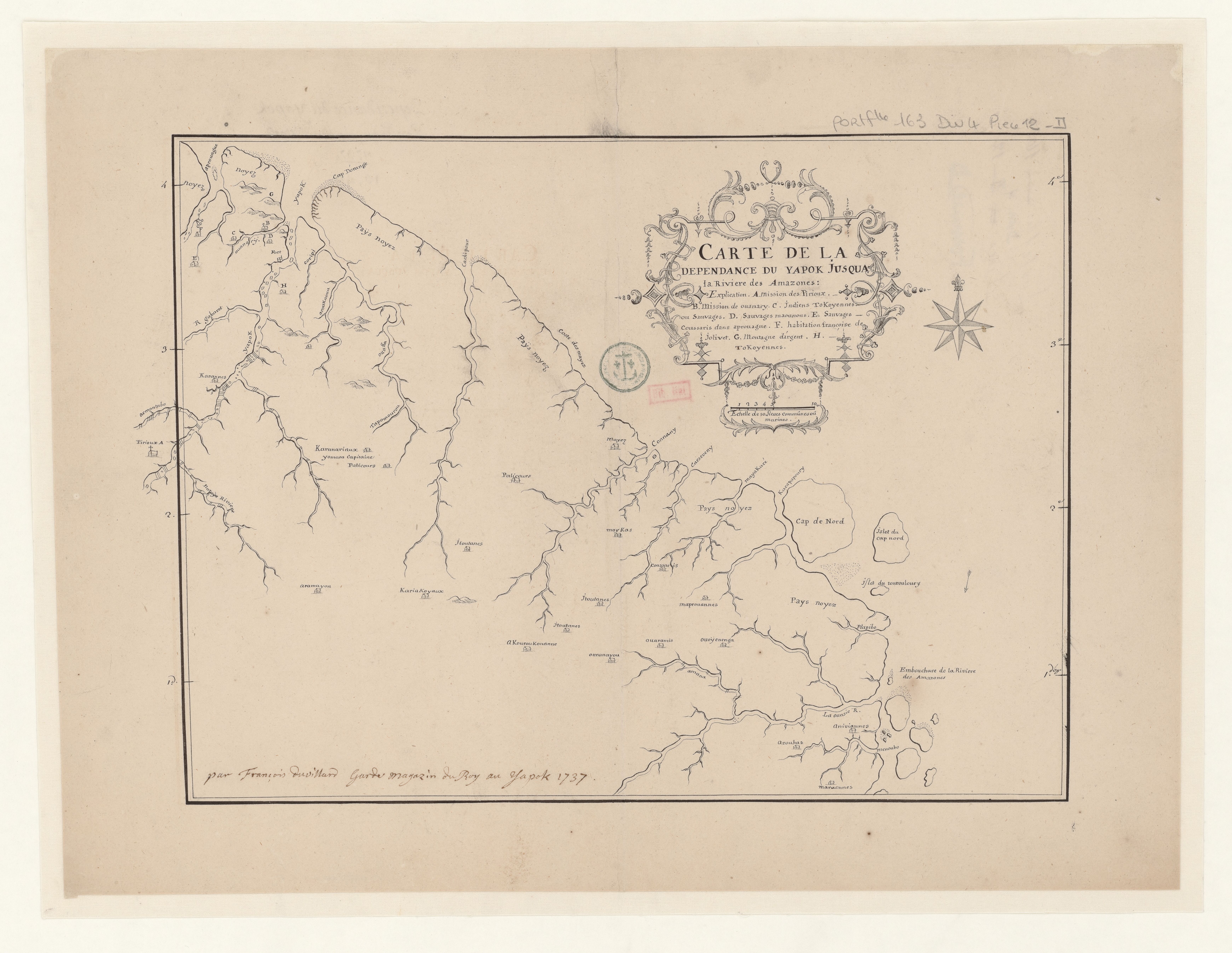
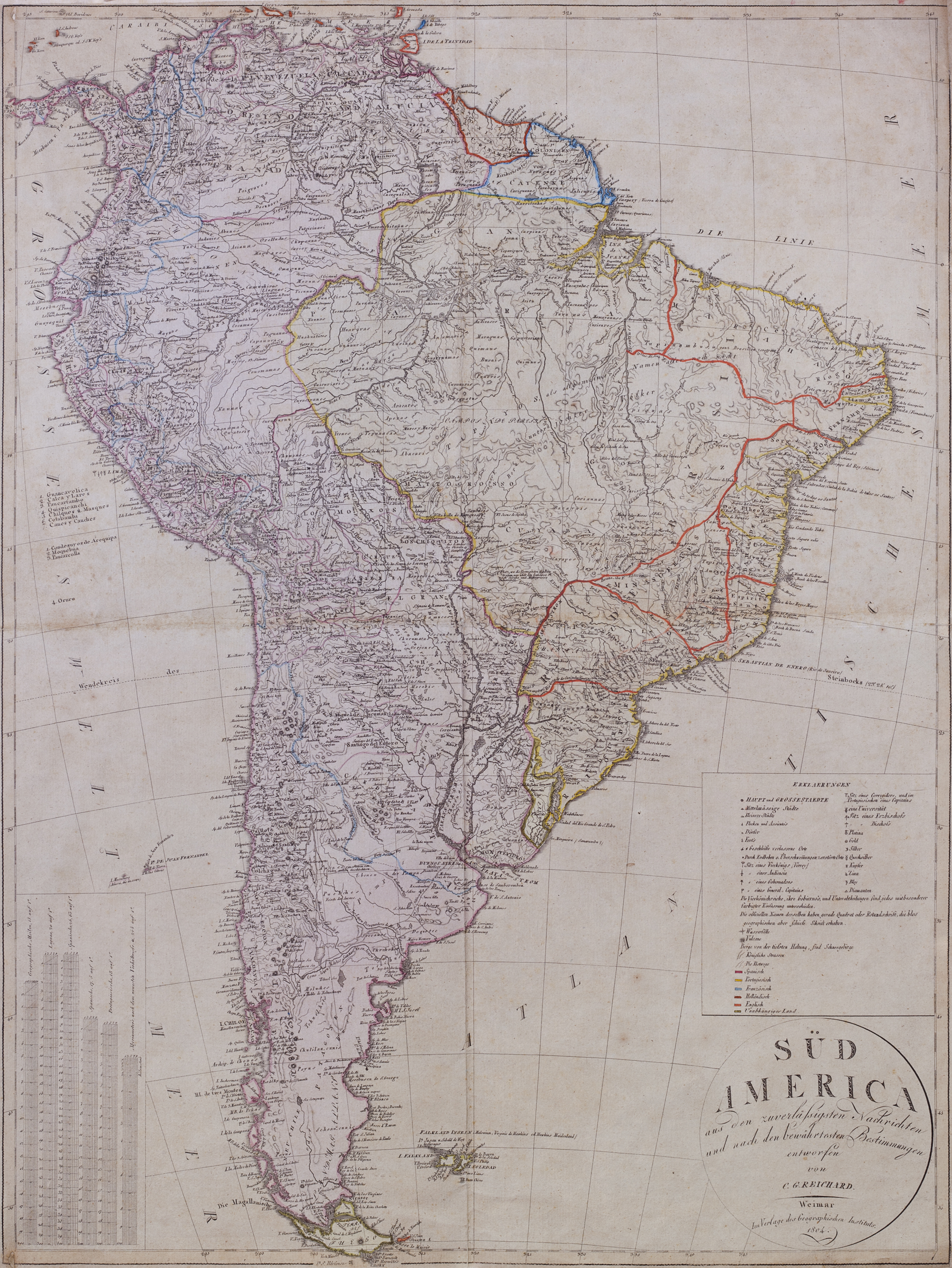
Delarochette,, Louis Stanislas d'Arcy. South America: From the latest Discoveries, Shewing the Spanish and Portuguese Settlements, according to Mr. D'Anville. Map. London: Printed for John Bowles at the Black Horse in Cornhill, & Carington Bowles next the Chapter House in St. Pauls Church, 1771. https://catalogo.bn.gov.ar/F/VQ97SNCH5I2DMYK22HY1G878J53C6B39XM8KPYLPVFR7KMYYKA-34685?func=full-set-set&set_number=010736&set_entry=000037&format=999

  • Descargar Imágen

Artículos Relacionados

Guyane française. Carte géographo-géologique, dressée d'après les reconnaissances faites de 1867 à 1878 par le bureau du cadastre de Cayenne.

Guyane française. Carte géographo-géologique, dressée d'après les reconnaissances faites de 1867 à 1878 par le bureau du cadastre de Cayenne.

Mapa 1867 - 1878
Terra Indígena Piaçaguera

Terra Indígena Piaçaguera

Mapa 2011
Silver Creek

Silver Creek

Mapa 1997
Descripciones geograficas de muchas tierras y mares del Norte y Sur en las Indias

Descripciones geograficas de muchas tierras y mares del Norte y Sur en las Indias

Mapa 1613 - 1615
PUEBLO CHOL

PUEBLO CHOL

Mapa 2020
MAPA N. 1 DISTRIBUCIÓN DE LAS AGRUPACIONES Y LENGUAS INDÍGENAS EN 1500

MAPA N. 1 DISTRIBUCIÓN DE LAS AGRUPACIONES Y LENGUAS INDÍGENAS EN 1500

Mapa 1500
Karte Ofver Peru Utgifven D.E. Larrabure y Unnanue Utrikesminister

Karte Ofver Peru Utgifven D.E. Larrabure y Unnanue Utrikesminister

Mapa 1903
MAPA Físico y Político DE LA REPÚBLICA DE VENEZUELA

MAPA Físico y Político DE LA REPÚBLICA DE VENEZUELA

Mapa 1840

Despojos en las Américas

Un Proyecto de

University of Pennsylvania

Copyright 2024

Con el apoyo de

Mellon Foundation

Diseño y Desarrollo del Sitio

Element 84

Créditos Artísticos

Delarochette,, Louis Stanislas d’Arcy. South America: From the latest Discoveries, Shewing the Spanish and Portuguese Settlements, according to Mr. D’Anville. Map. London: Printed for John Bowles at the Black Horse in Cornhill, & Carington Bowles next the Chapter House in St. Pauls Church, 1771. https://catalogo.bn.gov.ar/F/VQ97SNCH5I2DMYK22HY1G878J53C6B39XM8KPYLPVFR7KMYYKA-34685?func=full-set-set&set_number=010736&set_entry=000037&format=999

Páginas del Sitio

  • Inicio
  • Explorar
  • Autores
  • Sobre
  • Arte
  • Cuerpos
  • Planes de Estudio
  • Herencia Cultural
  • Mapas
  • Territorios