Pueblos
- HUILINCHES
- TEHUELCHES
- AUCAES
- RANQUEL
- PAMPAS
Cita
Arrowsmith, Aaron. Carta de la Provincia de Buenos Ayres 1824. Map. Londres: Dn. Bartolomé de Muñoz, 1824. https://catalogo.bn.gov.ar/exlibris1/apache_media/R4HXSATXSX4FB7G51DFEHC8K6GRFCV.jpg
Area of Tarascan Speech around 1750
Mapa 1750
Outlines of the physical and political division of South America: Delineated by A. Arrowsmith partly from scarce and original documents, published before the year 1806 but principally from manuscript maps & surveys made between the years 1771 and 1806, corrected from accurate astronomical observations to 1810.
Mapa 1800 - 1899
CHART containing the greater part of the SOUTH SEA to the South of the LINE, with the ISLANDS dispersed thro' the same
Mapa 1794
Amérique Méridionale. Publiée sous les auspices de Monseigneur Le Duc d'Orleans.
Mapa 1700 - 1799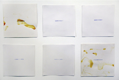
Sementerio
Obra de Arte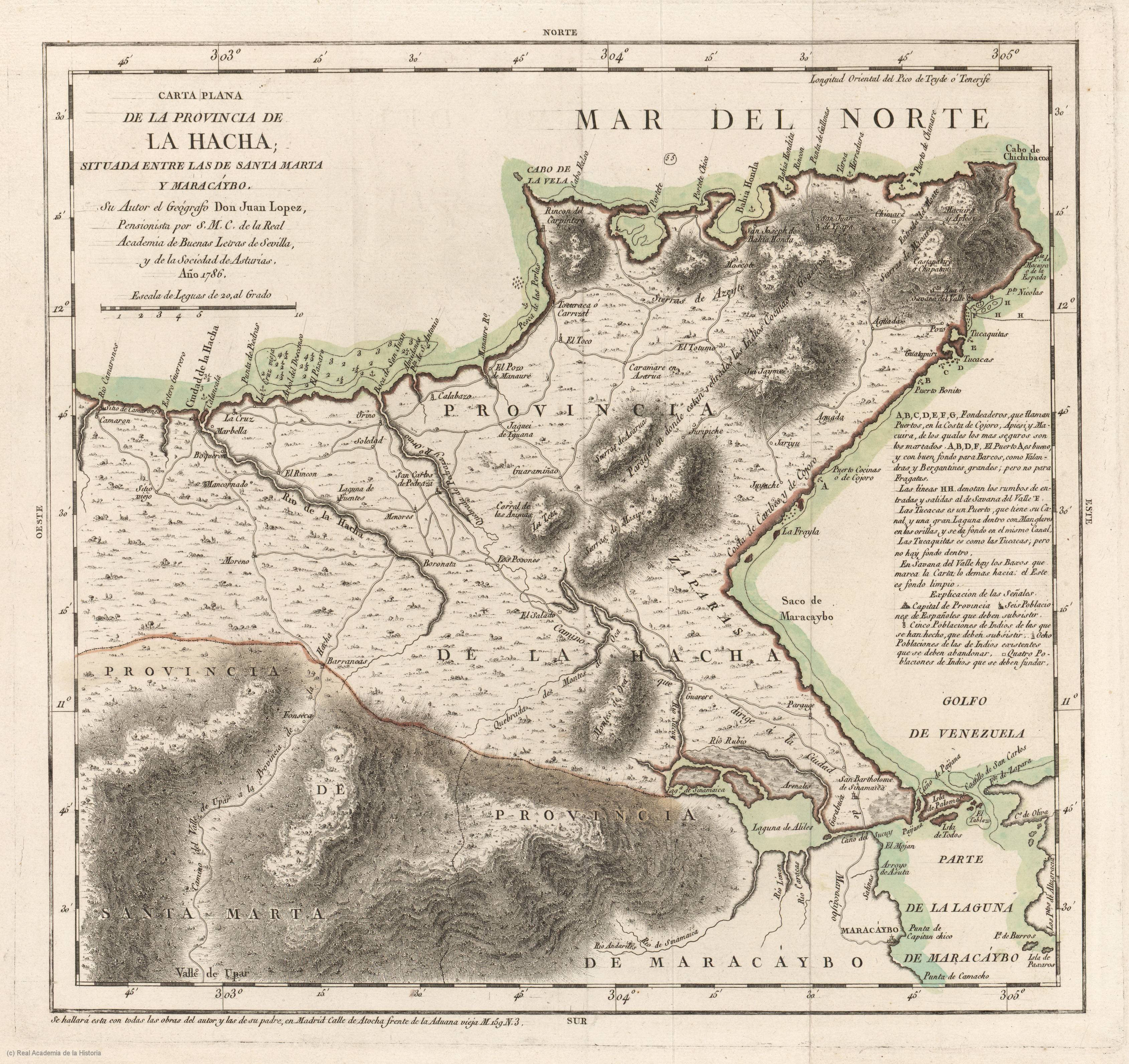
Carta plana de la provincia de La Hacha situada entre las de Santa Marta y Maracaybo
Mapa 1786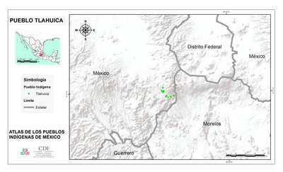
PUEBLO TLAHUICA
Mapa 2020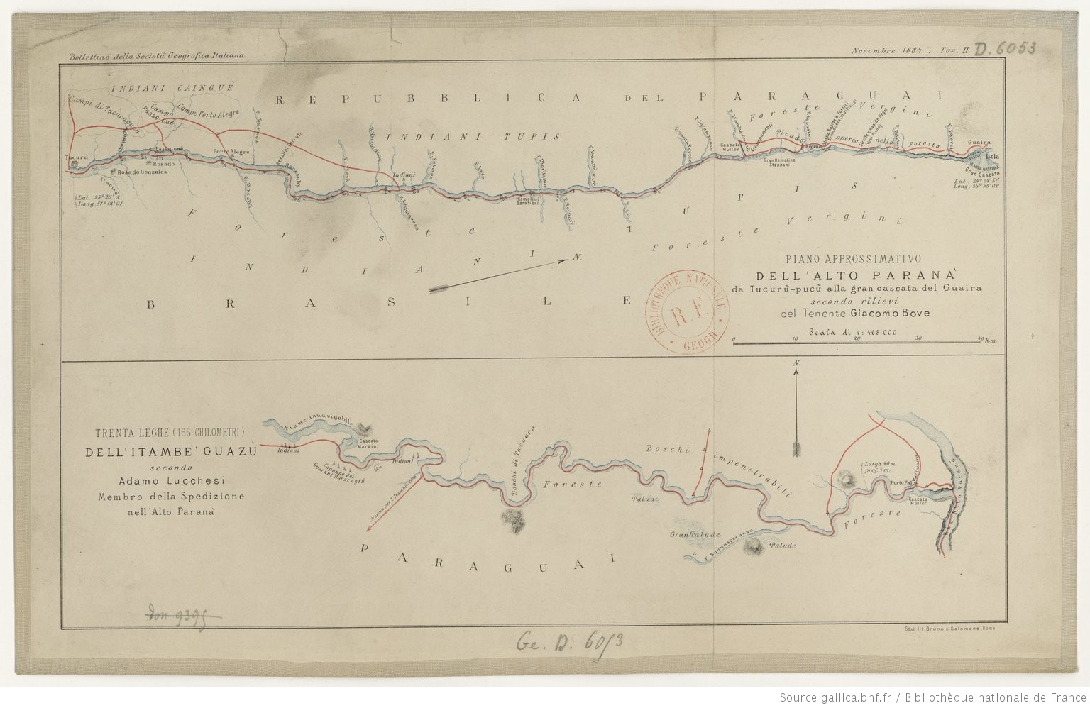
TRENTA LEGHE (166 CHILOMETRI) DELL’ ITAMBE’ GUAZÙ
Mapa 1884