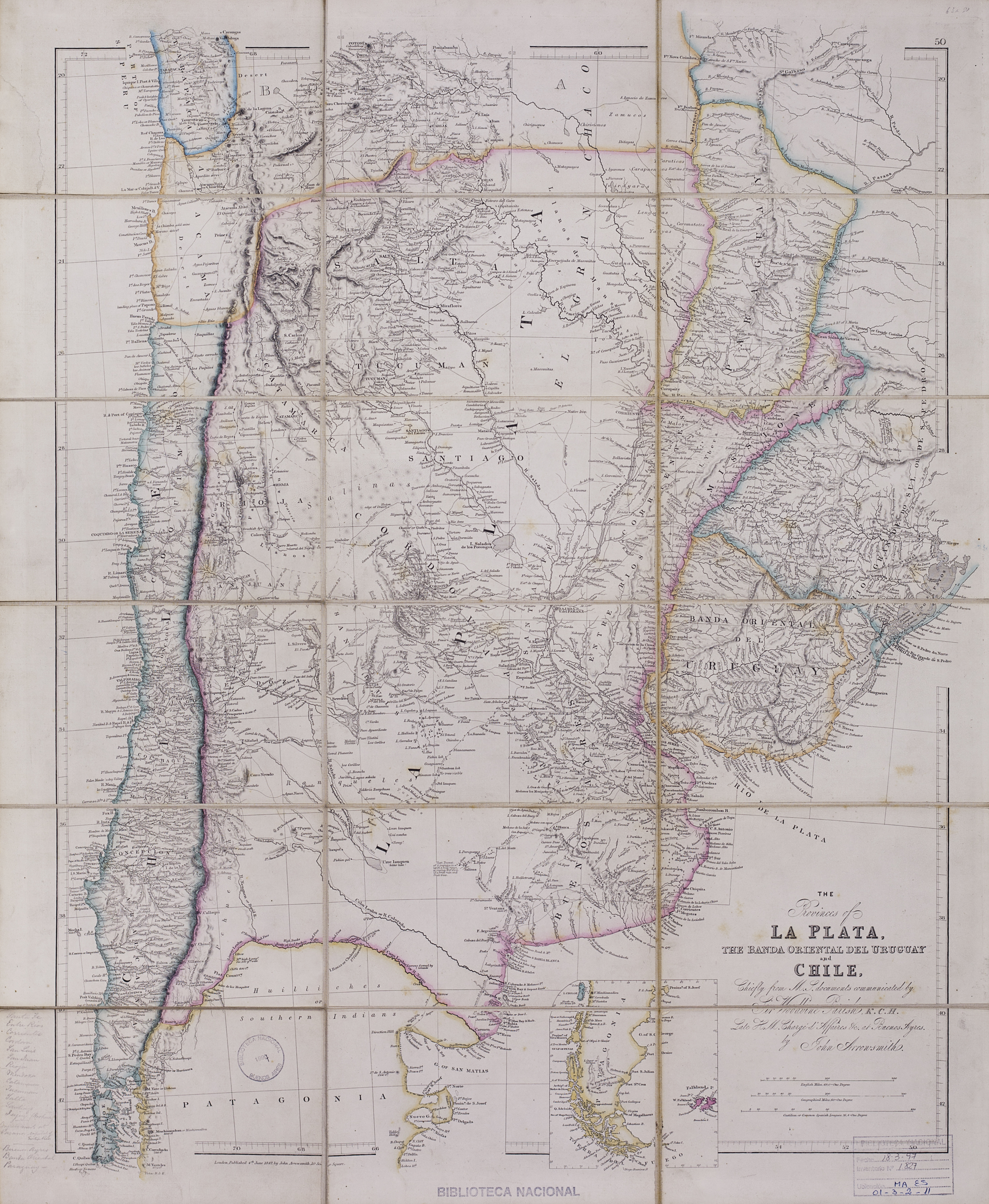
Pueblos
- HUILINCHES
- PEHUENCHES
- RANQUEL
- MATAGUAYOS
- MATACOS
- TOBAS
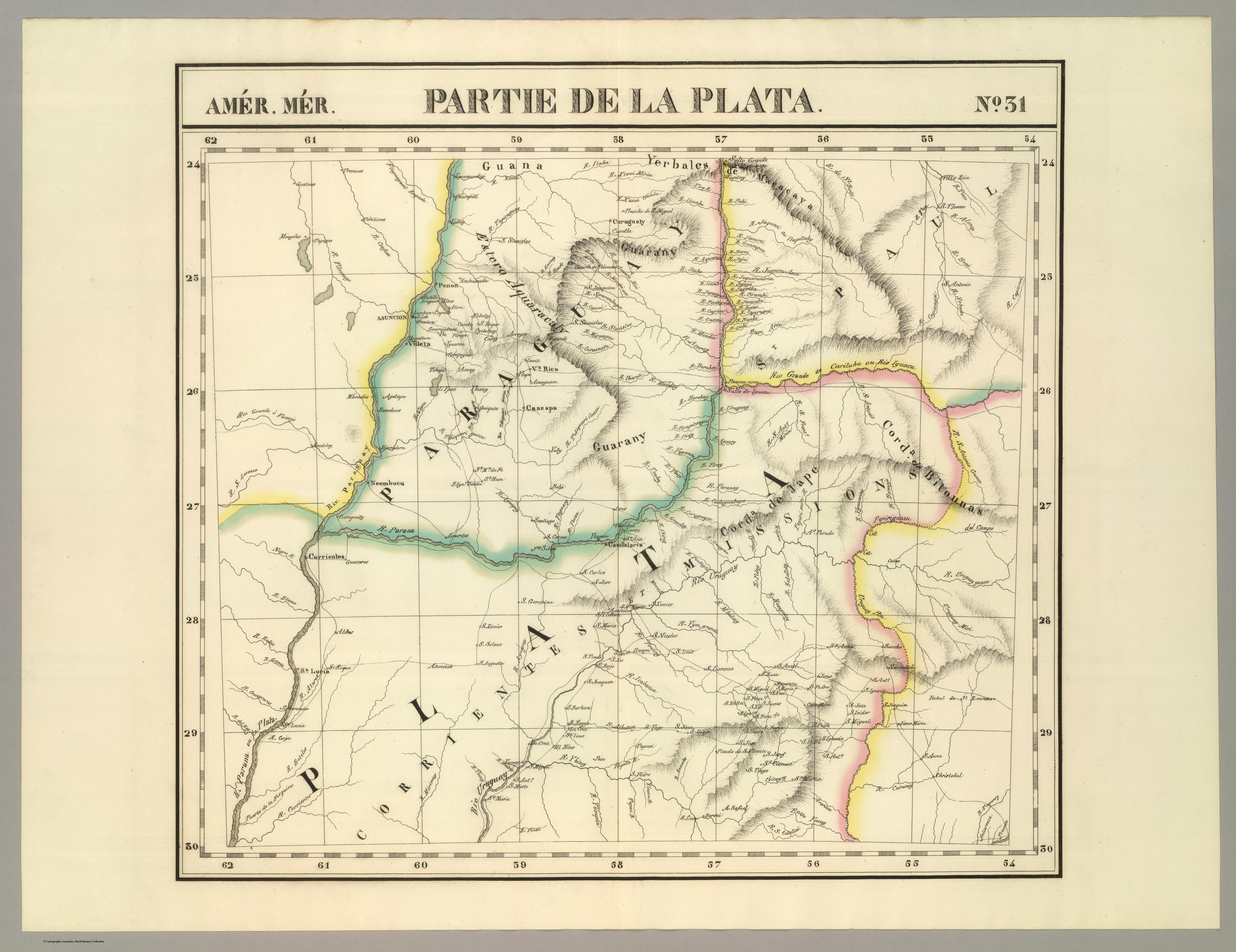
Cita
Arrowsmith, John. The provinces of La Plata, the Banda Oriental del Uruguay and Chile. Map. London, 1842. https://catalogo.bn.gov.ar/exlibris1/apache_media/NADP7M7ACG8M2S5NAAAR7VJSK317LC.jpg