Dispossesions in the Americas

Dispossesions in the Americas

  • Inicio
  • Explorar
  • Autores
  • Sobre
  • Arte
  • Cuerpos
  • Planes de Estudio
  • Herencia Cultural
  • Mapas
  • Territorios
Volver a Explorar

Leyendo en Inglés

Mapa 1890 - 1935

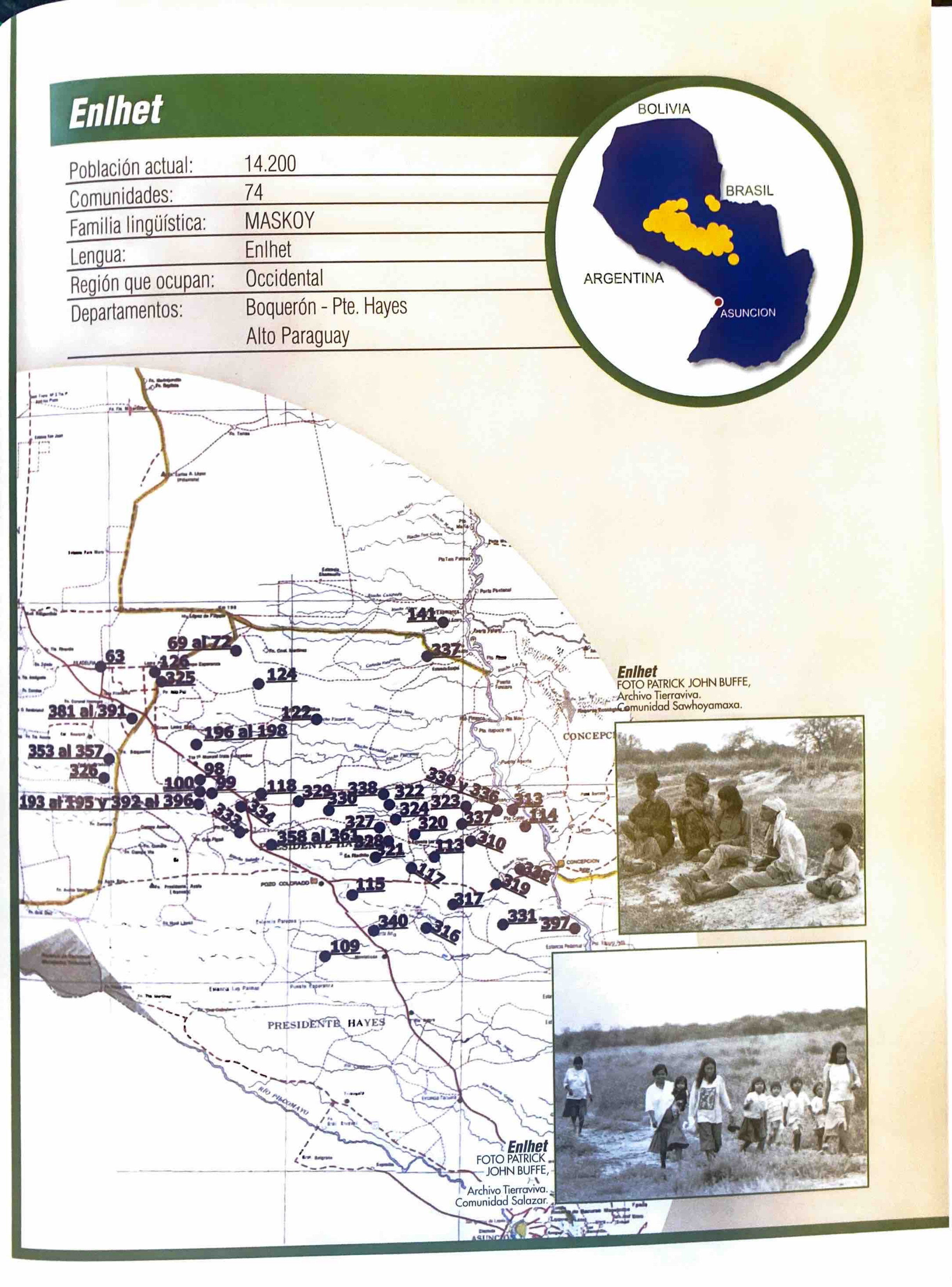
Carta étnica del Gran Chaco en el umbral del s. XX

  • Mirones, Ricardo

Publicado: 2009

  • Descargar Imágen
  • Descargar Imágen
Mapa 1890 - 1935

Carta étnica del Gran Chaco en el umbral del s. XX

  • Mirones, Ricardo

Publicado: 2009

  • Descargar Imágen

Pueblos

  • AYOREO
  • CHAMACOCO
  • CADUVEO
  • PAYAGUA
  • TOBA
  • PILAGA
  • MOCOVI
  • AVA-GUARANI
  • IZOCENO
  • TAPIETE
  • CHANE
  • SIMBA
  • TOBA-MASKOI
  • SANAPANA
  • ANGAITE
  • LENGUA
  • CHOROTE
  • MATACO
  • NIVACLE
  • MAKA
  • LULE-VILELA

Citas

Unicef. "Atlas sociolingüístico de pueblos indígenas en América Latina." Pg. 154. 2009. Accessed September 2021. https://www.unicef.org/lac/media/9791/file/PDF%20Atlas%20sociolinguistico%20de%20pueblos%20ind%C3%ADgenas%20en%20ALC-Tomo%201.pdf

  • Descargar Imágen

Artículos Relacionados

FACSIMILE: SOUTH AMERICA BY BONNE

FACSIMILE: SOUTH AMERICA BY BONNE

Mapa 1781
Map of the North Atlantic Autonomous Region (RAAN);Northeastern Nicaragua.

Map of the North Atlantic Autonomous Region (RAAN);Northeastern Nicaragua.

Mapa 1900
"Territorio Indígena Matambú (Chorotega)"

"Territorio Indígena Matambú (Chorotega)"

Mapa 2010
Delimitación de la Gran Nación Wayuu

Delimitación de la Gran Nación Wayuu

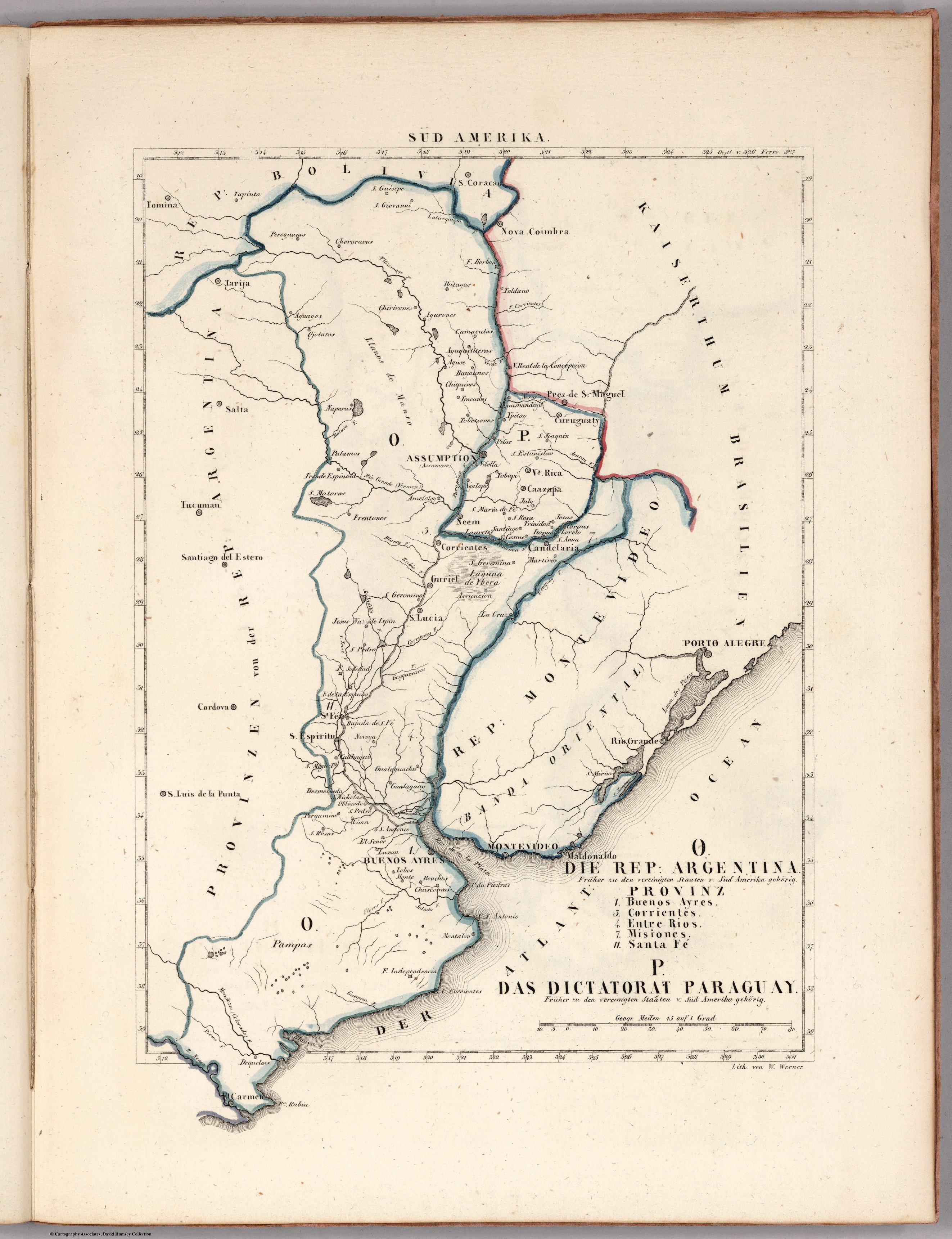
Mapa 2015
GUARANÍ OCCIDENTAL

GUARANÍ OCCIDENTAL

Mapa 2015
Mapa que comprende desde el Golfo de Matina hasta el de Santo Thomás

Mapa que comprende desde el Golfo de Matina hasta el de Santo Thomás

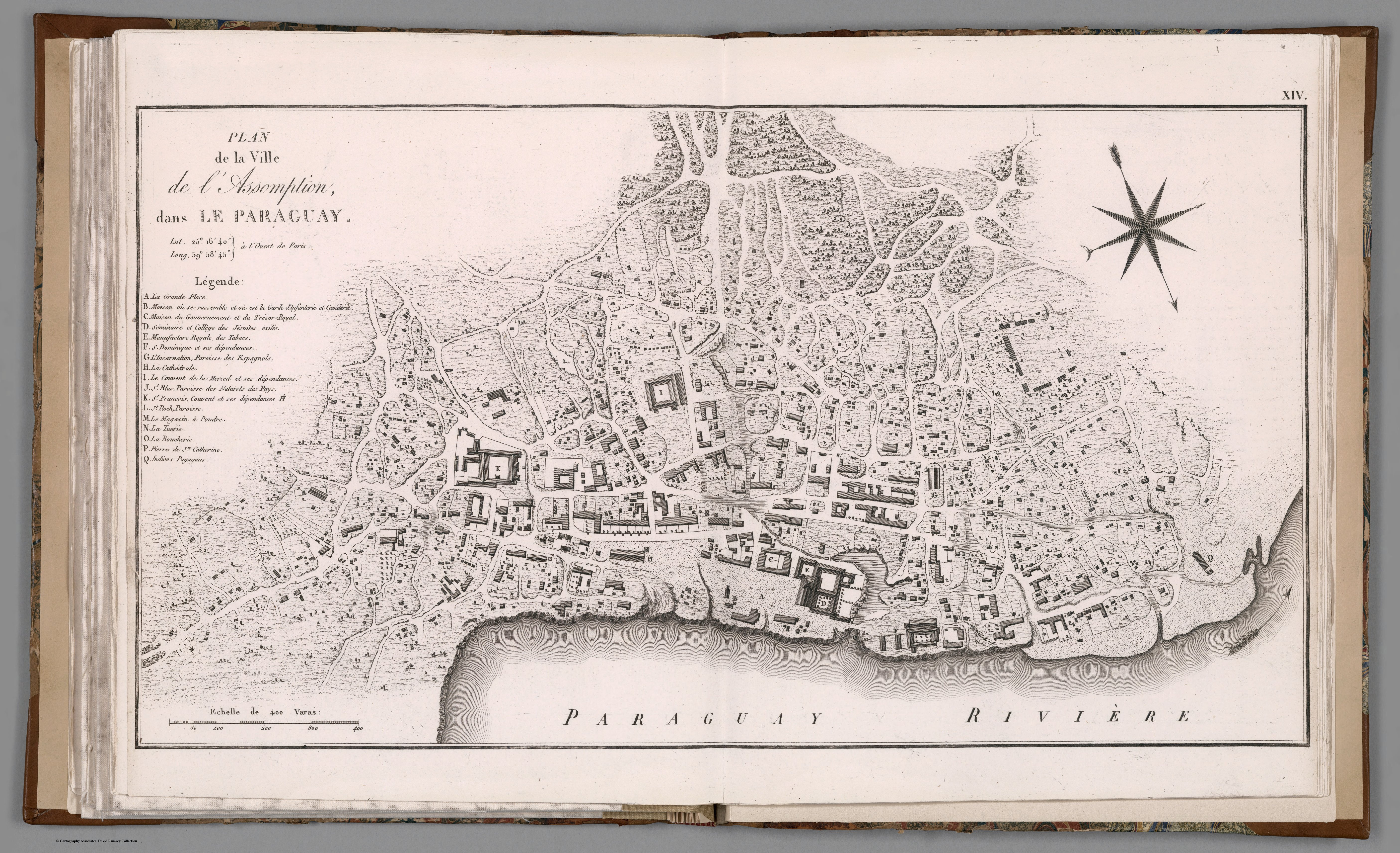
Mapa 1758
Plano de La Habana, en perspectiva.

Plano de La Habana, en perspectiva.

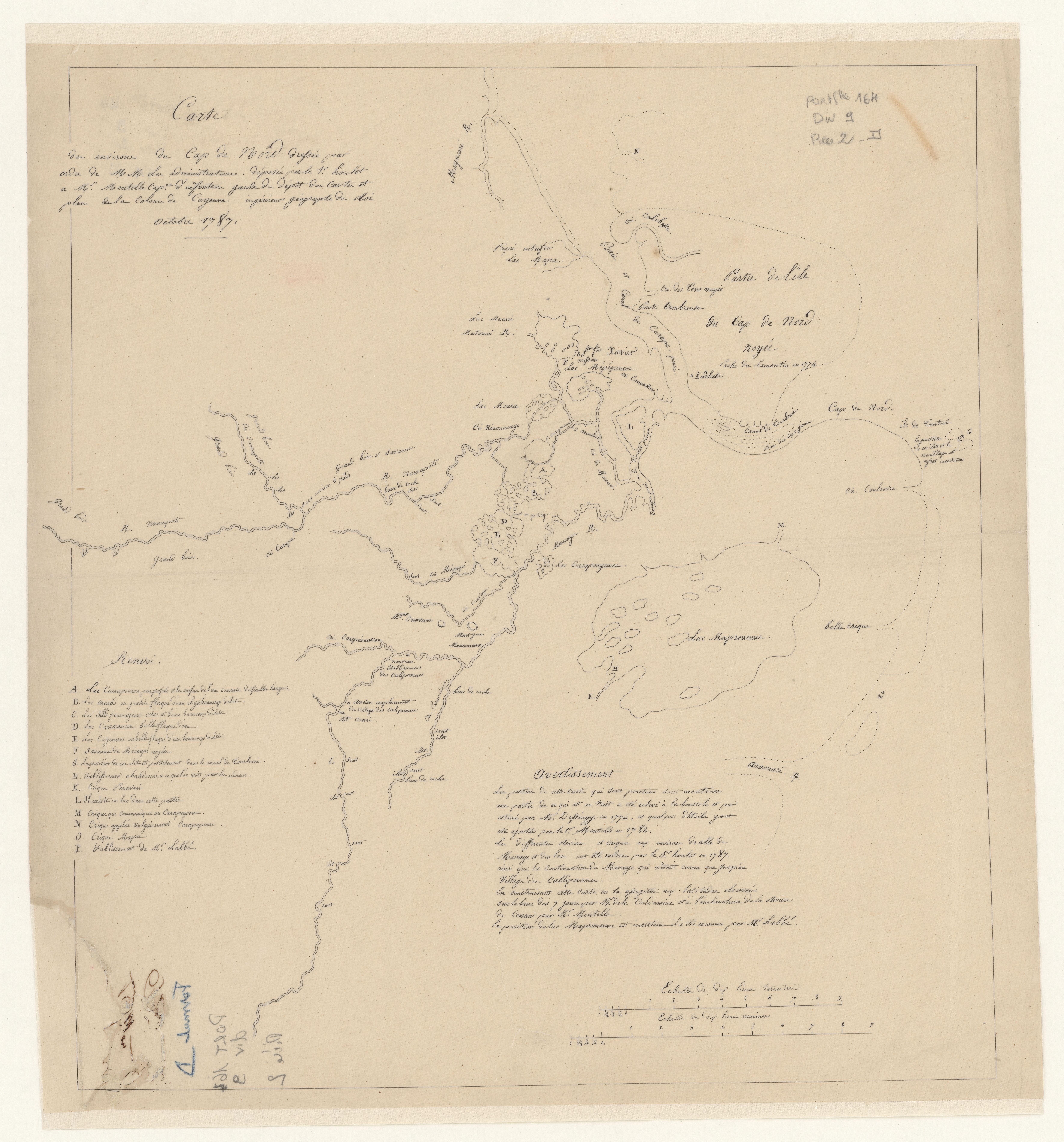
Mapa 1500 - 1599
Fig. 1 Map of the Guianas with schematic locations of the
indigenous groups relevant to our study, based on the linguistic
map of South America (http://www.muturzikin.com/cartesamerique/
7.htm). Carib-speaking groups are indicated in yellow, Arawak-speaking
groups in blue, Tupi-speaking Wayãpi in pink and the Warao-speaking
group in green

Fig. 1 Map of the Guianas with schematic locations of the indigenous groups relevant to our study, based on the linguistic map of South America (http://www.muturzikin.com/cartesamerique/ 7.htm). Carib-speaking groups are indicated in yellow, Arawak-speaking groups in blue, Tupi-speaking Wayãpi in pink and the Warao-speaking group in green

Mapa 2000 - 2024

Despojos en las Américas

Un Proyecto de

University of Pennsylvania

Copyright 2024

Con el apoyo de

Mellon Foundation

Diseño y Desarrollo del Sitio

Element 84

Créditos Artísticos

Unicef. “Atlas sociolingüístico de pueblos indígenas en América Latina.” Pg. 154. 2009. Accessed September 2021. https://www.unicef.org/lac/media/9791/file/PDF%20Atlas%20sociolinguistico%20de%20pueblos%20ind%C3%ADgenas%20en%20ALC-Tomo%201.pdf
Páginas del Sitio

  • Inicio
  • Explorar
  • Autores
  • Sobre
  • Arte
  • Cuerpos
  • Planes de Estudio
  • Herencia Cultural
  • Mapas
  • Territorios