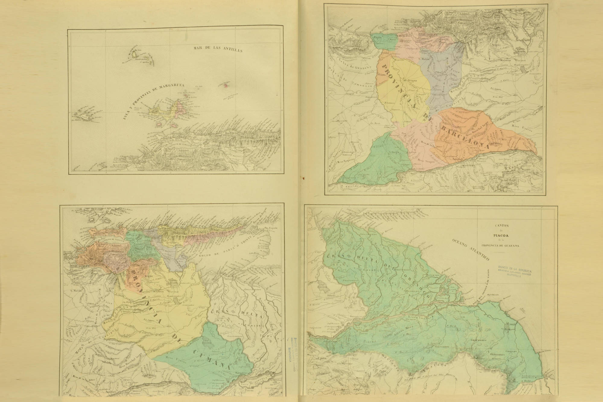
Dispossesions in the Americas

Dispossesions in the Americas

  • Home
  • Explore
  • About
  • Authors
  • Art
  • Bodies
  • Curricula
  • Cultural Heritage
  • Maps
  • Territories
Back to Explore
Map 1840

CANTON de PIACOA de la PROVINCIA DE GUAYANA

  • CODAZZI;AGUSTIN

Published: 1840

  • Download Image

Peoples

  • GUARUANA
  • MARIUSA
  • GUAICAS

Citation

Codazzi;Agustín. "Carta que contiene las Provincias de Barcelona;Cumaná y Margarita divididas por cantones." Map. 1840. Accessed January 22;2023. https://babel.banrepcultural.org/digital/collection/p17054coll13/id/57/rec/12.

  • Download Image

Reading in Spanish

Map 1840

CANTON de PIACOA de la PROVINCIA DE GUAYANA

  • CODAZZI;AGUSTIN

Published: 1840

  • Download Image
  • Download Image

Reading in Portuguese

Map 1840

CANTON de PIACOA de la PROVINCIA DE GUAYANA

  • CODAZZI;AGUSTIN

Published: 1840

  • Download Image

Peoples

  • GUARUANA
  • MARIUSA
  • GUAICAS

Citation

Codazzi;Agustín. "Carta que contiene las Provincias de Barcelona;Cumaná y Margarita divididas por cantones." Map. 1840. Accessed January 22;2023. https://babel.banrepcultural.org/digital/collection/p17054coll13/id/57/rec/12.

  • Download Image

Related Content

Mbyá

Mbyá

Map 2001
The provinces of La Plata, the Banda Oriental del Uruguay and Chile.

The provinces of La Plata, the Banda Oriental del Uruguay and Chile.

Map 1842
CHIAPAS

CHIAPAS

Map 2015
SKETCH MAP OF THE CAPUCHIN MISSIONS IN GUAYANA ABOUT 1779

SKETCH MAP OF THE CAPUCHIN MISSIONS IN GUAYANA ABOUT 1779

Map 1779
MAPPA da Provincia DE SAN PEDRO

MAPPA da Provincia DE SAN PEDRO

Map 1839
VENEZUELA - KOLUMBIEN – EKUADOR

VENEZUELA - KOLUMBIEN – EKUADOR

Map 1924
Las etnias de Tierra del Fuego antes de su extinción

Las etnias de Tierra del Fuego antes de su extinción

Map 1800
Pueblos Taínos

Pueblos Taínos

Map 2000 - 2015

Dispossessions in the Americas

A project by

University of Pennsylvania

Copyright 2024

With support from

Mellon Foundation

Site design & development

Element 84

Art Credits

Codazzi;Agustín. “Carta que contiene las Provincias de Barcelona;Cumaná y Margarita divididas por cantones.” Map. 1840. Accessed January 22;2023. https://babel.banrepcultural.org/digital/collection/p17054coll13/id/57/rec/12.

Site Pages

  • Home
  • Explore
  • About
  • Authors
  • Art
  • Bodies
  • Curricula
  • Cultural Heritage
  • Maps
  • Territories