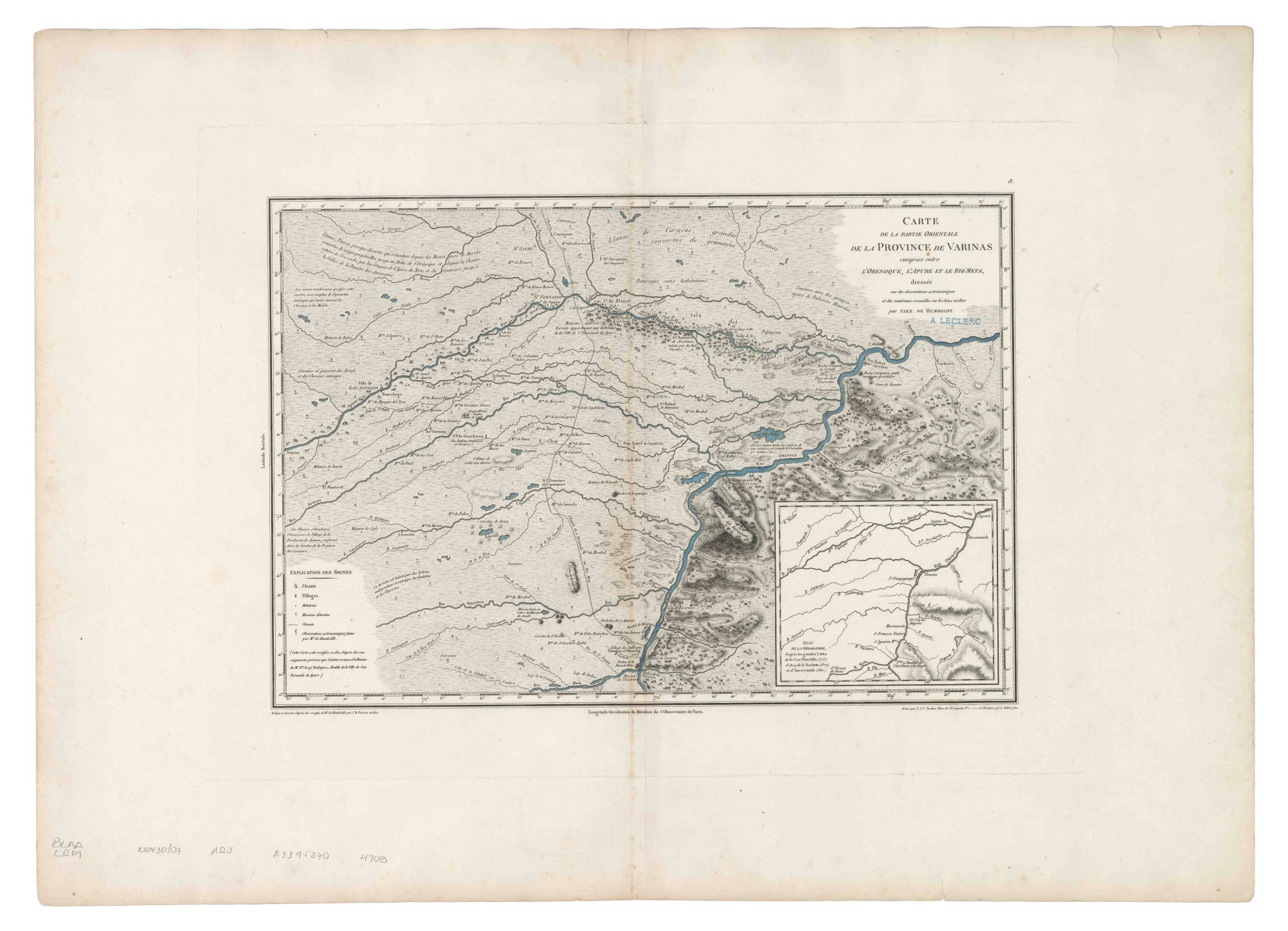
Dispossesions in the Americas

Dispossesions in the Americas

  • Home
  • Explore
  • About
  • Authors
  • Art
  • Bodies
  • Curricula
  • Cultural Heritage
  • Maps
  • Territories
Back to Explore
Map 1800

Carte de la Partie Orientale de la Province de Varinas comprise entre L'Orenoque;L'Apure et le Rio Meta

  • POIRSON;JEAN BAPTISTE

Published: 1812

  • Download Image

Peoples

  • OTOMACO
  • YARURO
  • JIVI
  • CHIRICOA
  • GUARICOTO
  • GUAMOS

Citation

Poirson;Jean Baptiste. "Carte de la Partie Orientale de la Province de Varinas comprise entre L'Orenoque;L'Apure et le Rio Meta." Map. 1812. Accessed January 22;2023. https://babel.banrepcultural.org/digital/collection/p17054coll13/id/71/rec/9.

  • Download Image

Reading in Spanish

Map 1800

Carte de la Partie Orientale de la Province de Varinas comprise entre L'Orenoque;L'Apure et le Rio Meta

  • POIRSON;JEAN BAPTISTE

Published: 1812

  • Download Image
  • Download Image

Reading in Portuguese

Map 1800

Carte de la Partie Orientale de la Province de Varinas comprise entre L'Orenoque;L'Apure et le Rio Meta

  • POIRSON;JEAN BAPTISTE

Published: 1812

  • Download Image

Peoples

  • OTOMACO
  • YARURO
  • JIVI
  • CHIRICOA
  • GUARICOTO
  • GUAMOS

Citation

Poirson;Jean Baptiste. "Carte de la Partie Orientale de la Province de Varinas comprise entre L'Orenoque;L'Apure et le Rio Meta." Map. 1812. Accessed January 22;2023. https://babel.banrepcultural.org/digital/collection/p17054coll13/id/71/rec/9.

  • Download Image

Related Content

Map of Guatemala/to illustrate/Mr. A.P Maudslay's Paper

Map of Guatemala/to illustrate/Mr. A.P Maudslay's Paper

Map 1883
KART VON OST-BRASILIEN. CARTE GÉOGRAPHIQUE DE LA PARTIE ORIENTALE DE L'EMPIRE DU BRÉSIL

KART VON OST-BRASILIEN. CARTE GÉOGRAPHIQUE DE LA PARTIE ORIENTALE DE L'EMPIRE DU BRÉSIL

Map 1831
Comunidad "Territorio Indígena General E. Mosconi Tres Paraísos" - Pueblo Wichí

Comunidad "Territorio Indígena General E. Mosconi Tres Paraísos" - Pueblo Wichí

Map 2020
Carte de l'embouchure de l'Amazone

Carte de l'embouchure de l'Amazone

Map 1700
Provincias de Cumana;Paria;la Isla de la Trinidad;y el Rio Orinoco. 1758.

Provincias de Cumana;Paria;la Isla de la Trinidad;y el Rio Orinoco. 1758.

Map 1758
PLANTA DO RIO URUBU

PLANTA DO RIO URUBU

Map 1875
States in Guatemala and el Salvador on the Eve of Spanish Conquest.

States in Guatemala and el Salvador on the Eve of Spanish Conquest.

Map 1524
LA USURPACIÓN DEL TERRITORIO AYOREO EN PARAGUAY

LA USURPACIÓN DEL TERRITORIO AYOREO EN PARAGUAY

Map 1950 - 2009

Dispossessions in the Americas

A project by

University of Pennsylvania

Copyright 2024

With support from

Mellon Foundation

Site design & development

Element 84

Art Credits

Poirson;Jean Baptiste. “Carte de la Partie Orientale de la Province de Varinas comprise entre L’Orenoque;L’Apure et le Rio Meta.” Map. 1812. Accessed January 22;2023. https://babel.banrepcultural.org/digital/collection/p17054coll13/id/71/rec/9.

Site Pages

  • Home
  • Explore
  • About
  • Authors
  • Art
  • Bodies
  • Curricula
  • Cultural Heritage
  • Maps
  • Territories