Peoples
- KUMANAGOTO
Citation
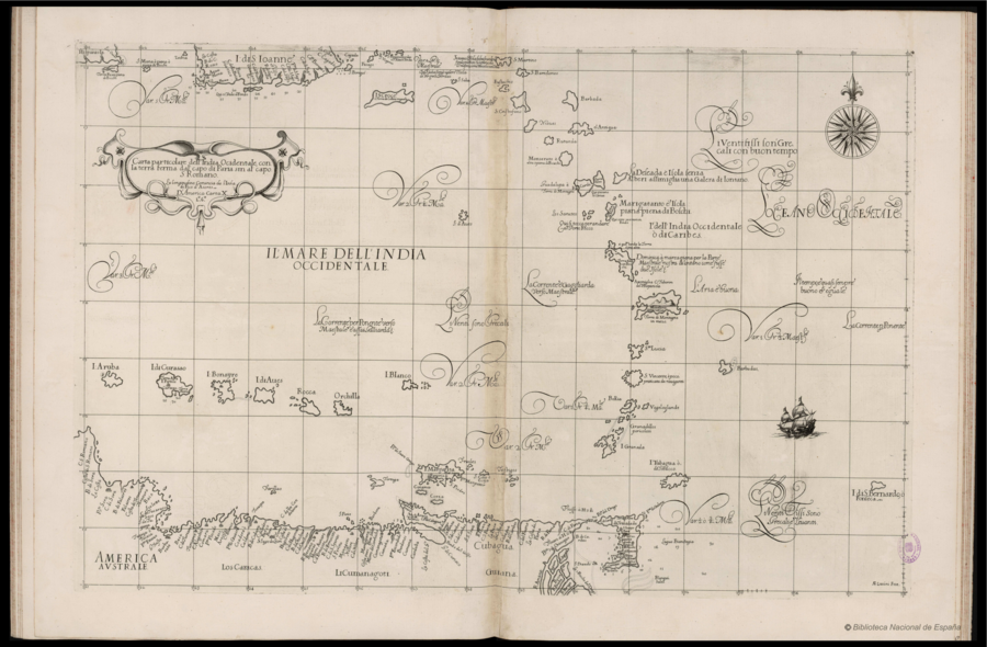
Dudley;Robert;and A. F. Lucini fece. "Carta particolare dell'India Ocidentale;con la terra ferma dal' capo di Paria sin al' capo S. Romano." Map. In Arcano del Mare;2nd ed.;by Robert Dudley;Giuseppe Cocchini;Lucini Antonio Francesco;and Jacopo Bagnoni;197. Florence: Nella Nuova Stamperia;1661. Accessed December 30;2022. http://bdh.bne.es/bnesearch/detalle/bdh0000000720.