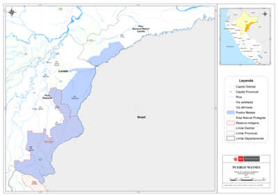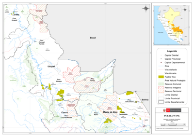
Peoples
- GUARAUNA
- MARIUSA
- TAMANACOS
- GUAICAS
- MAPOYO
- PIAROA
- PAREKA
- WARIKERI
- AYANOS
- ENEPA
- TAPARITAS
- CACHIRIGOTOS
- PEMON
- ARNACOTO
- ARUACAS
- CARIBE
- ARECUNAS
- CUDUPINAPOS
- YEKUANA
- CURACHICANAS
- MACOS
- JIVI
- AMORUA
- YOCURAS
- ABERIANA
- GUAINARES
- MAVITZI
- MAIONGCONG
- GUINAUS
- PURIGOTOS
- ACAVI
- QUEVACU
- MAKUSHI
- ZAPARA
- KIRISHANA
- GUAHARIBOS
- GUAINARES
- GUAIPUNABE
- AZANENI
- MACUENI
- CURIARANAS
- CURUCHIPANOS
- YABANOS
- TAPIRAS
- CUNIPASANAS
- BARRIA
- MANDAWAKA
- MACU
- OEVACUS
- VAPISIANAS
- VARIAMARES
- KIRIHANAS
Citation
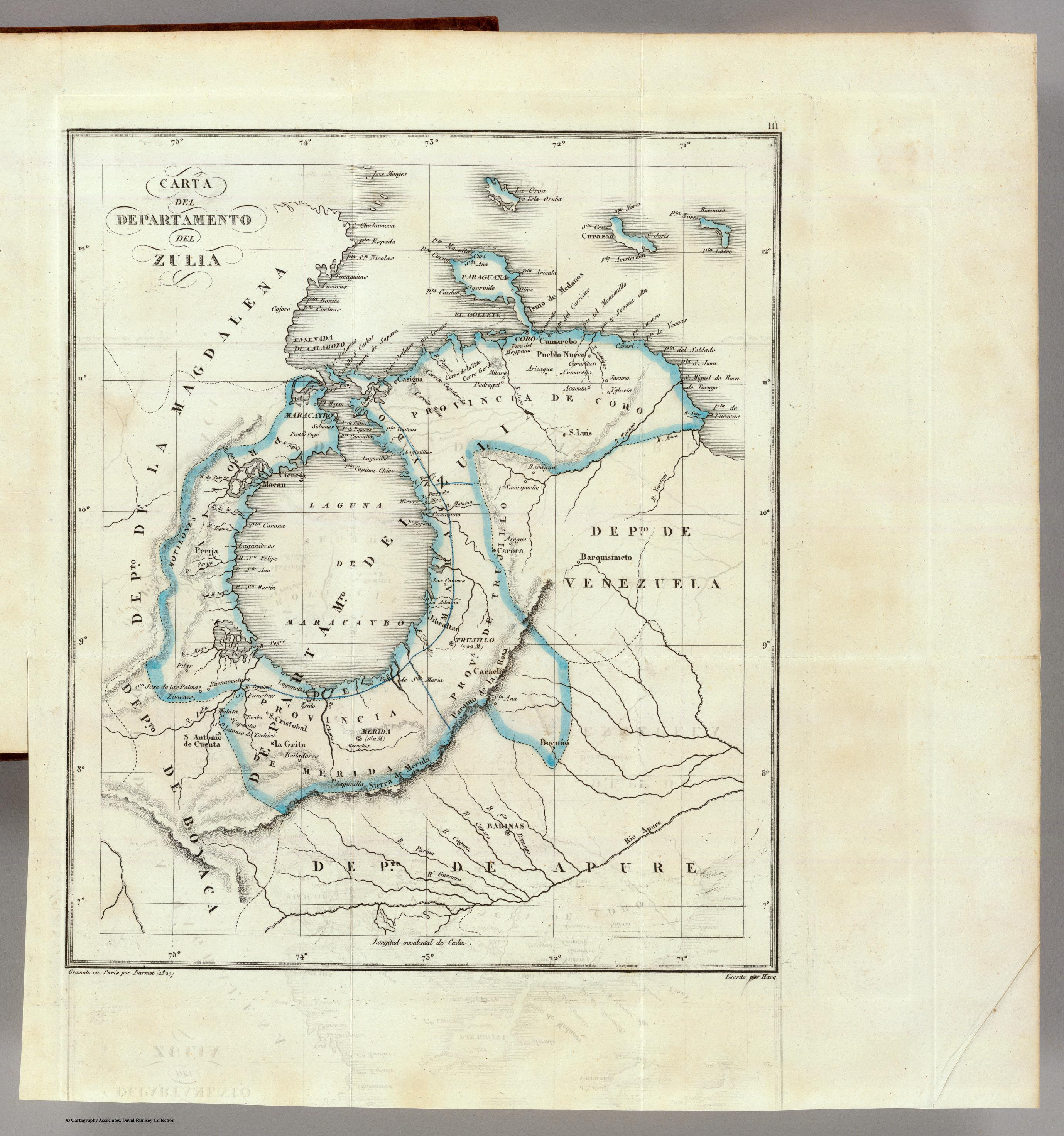
Codazzi;Agustin. Composite: Four Sheets. Mapa fisico y politico;Republica dE Venezuela. Map. London: Sifton Praed & Co. Ltd;the Map House;1840. Accessed September 11;2022. https://www.davidrumsey.com/luna/servlet/detail/RUMSEY~8~1~325715~90094605:Composite--Four-Sheets--Mapa-fisico?sort=pub_list_no_initialsort%2Cpub_date%2Cpub_list_no%2Cseries_no#.
![[Partie de l'Oyapock]](https://dnet8ble6lm7w.cloudfront.net/maps/FGU/FGU0054.jpeg)
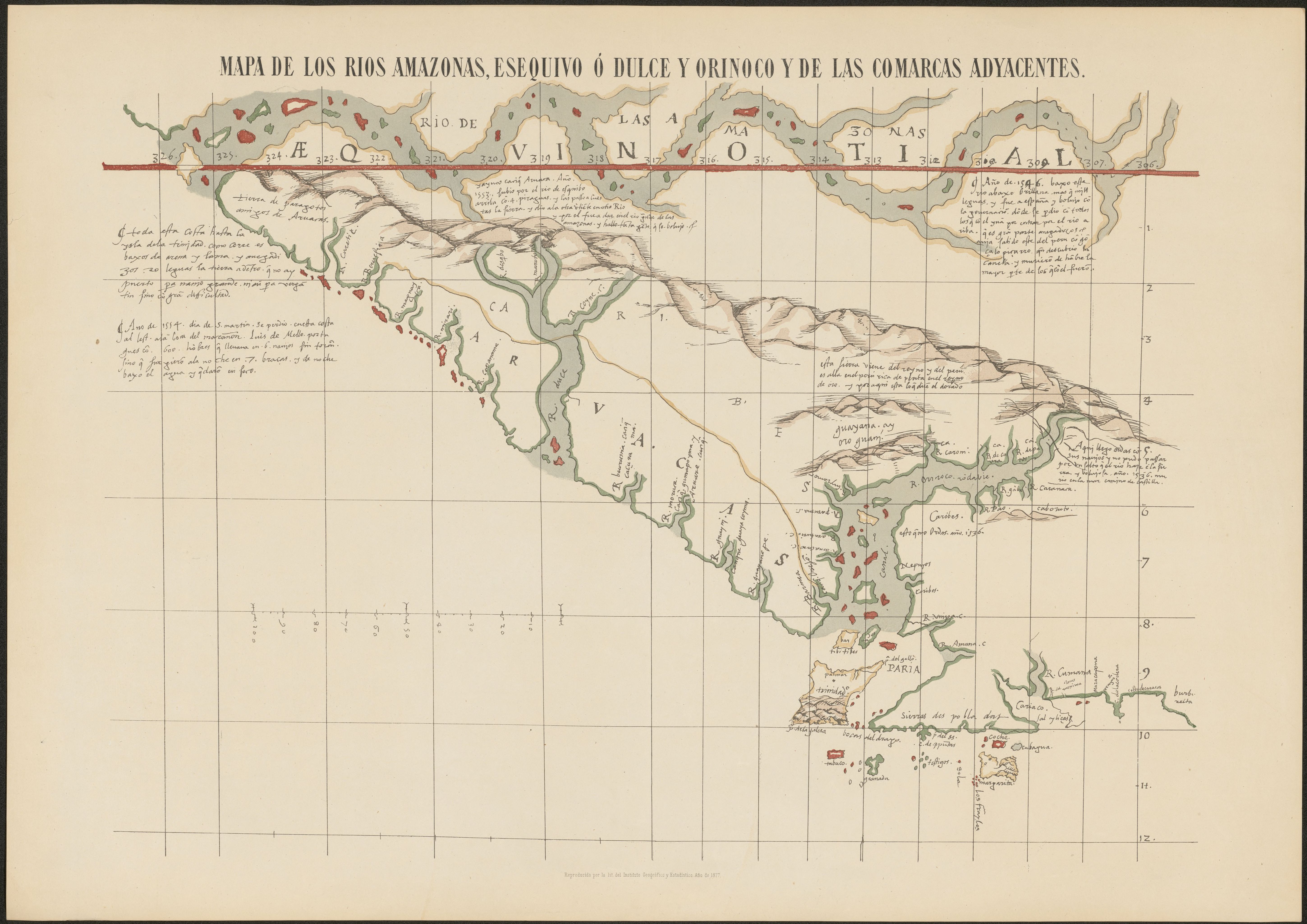
![La partie méridionale de l'Amérique appelée Terre Ferme ou se trouve [sic] les provinces ou grands gouvernements de la Guiane et de la Nouvelle Grenade Cette dernière province subdivisée en Popaya;Cartagene;Ste. Marthe;Rio de la Hacha;Venezuela et Nouvelle Andalousie Le pays et le cours de la rivière des Amazones Au sud de cette carte;comme l'istme de Panama ou nord-ouest;si [sic] trouvent assé bien détaillez](https://dnet8ble6lm7w.cloudfront.net/maps/CNT/CNT0020.jpeg)