Peoples
- WARIKERI
Citation
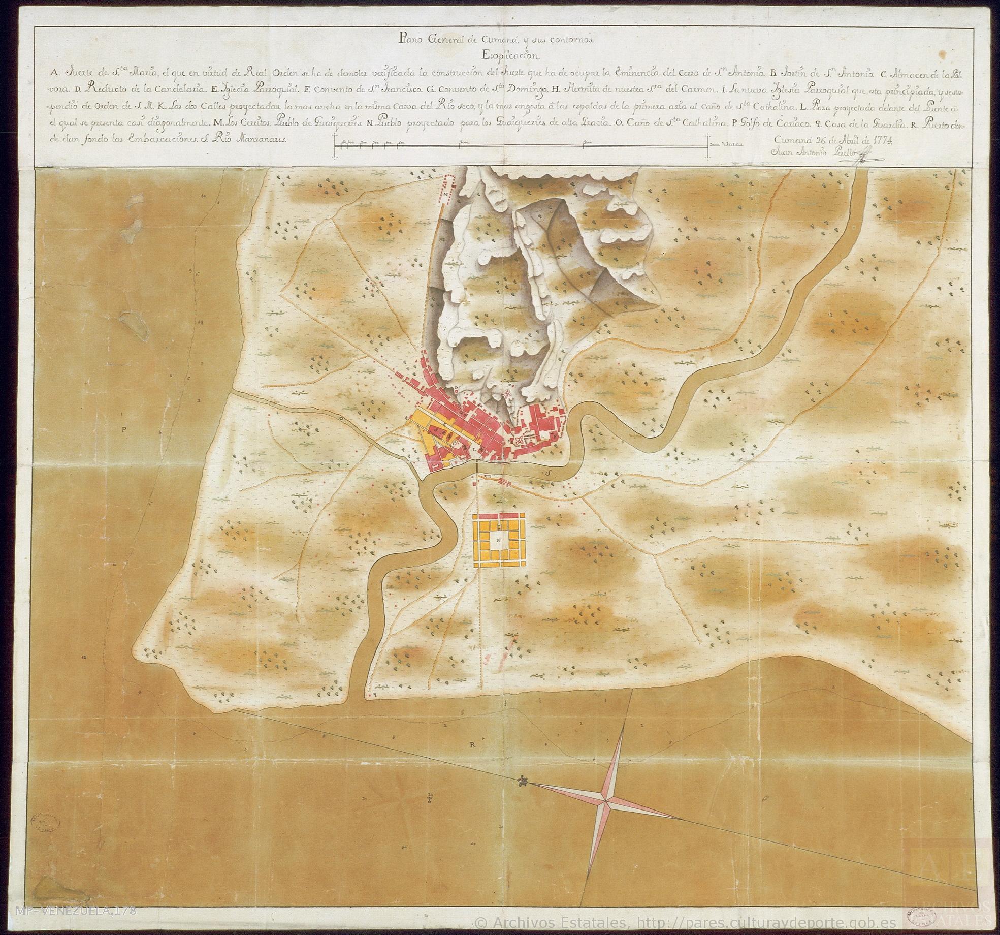
Antonio Perelló;Juan. Plano general de Cumaná y sus contornos. Map. Cumaná;Venezuela;1774. Accessed August 21;2022. http://pares.mcu.es/ParesBusquedas20/catalogo/show/26116.
![Tierra [Earth]](https://dnet8ble6lm7w.cloudfront.net/art_sm/AECU011.png)
Tierra [Earth]
Artwork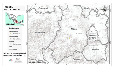
PUEBLO MATLATZINCA
Map 2020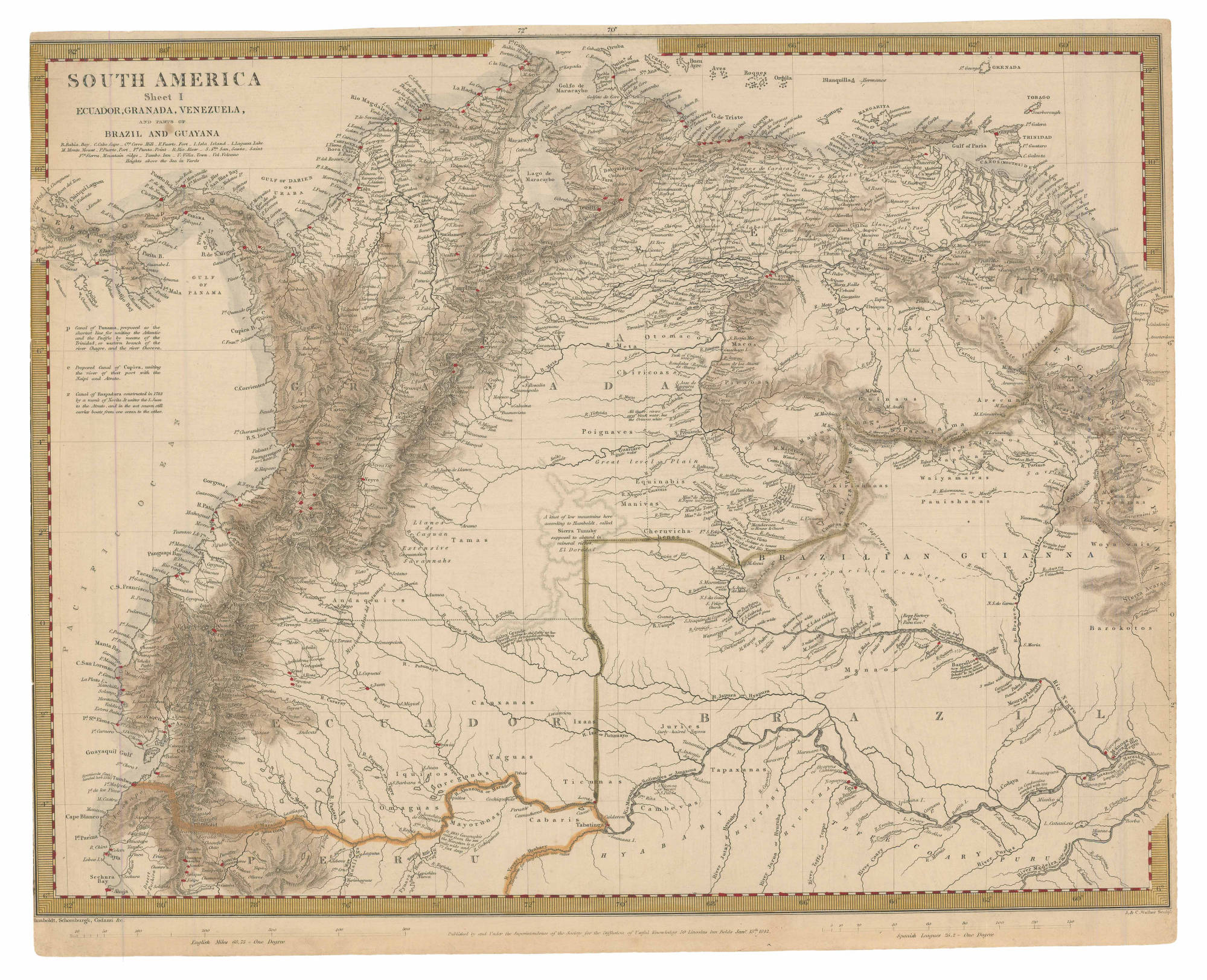
SOUTH AMERICA Sheet I: ECUADOR;GRANADA;VENEZUELA;AND PARTS OF BRAZIL AND GUYANA
Map 1842![El lago prohibido [The Forbidden Lake]](https://dnet8ble6lm7w.cloudfront.net/art_sm/APER029.png)
El lago prohibido [The Forbidden Lake]
Artwork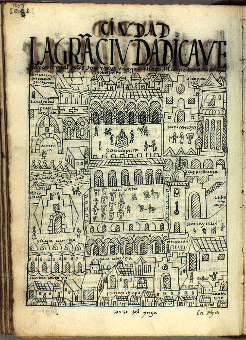
LA GRAN CIVDAD I CAVEsa y corte rreal de los doze rreys Yngas, Santiago del Cuzco en medio del rreyno y obispado
Map 1615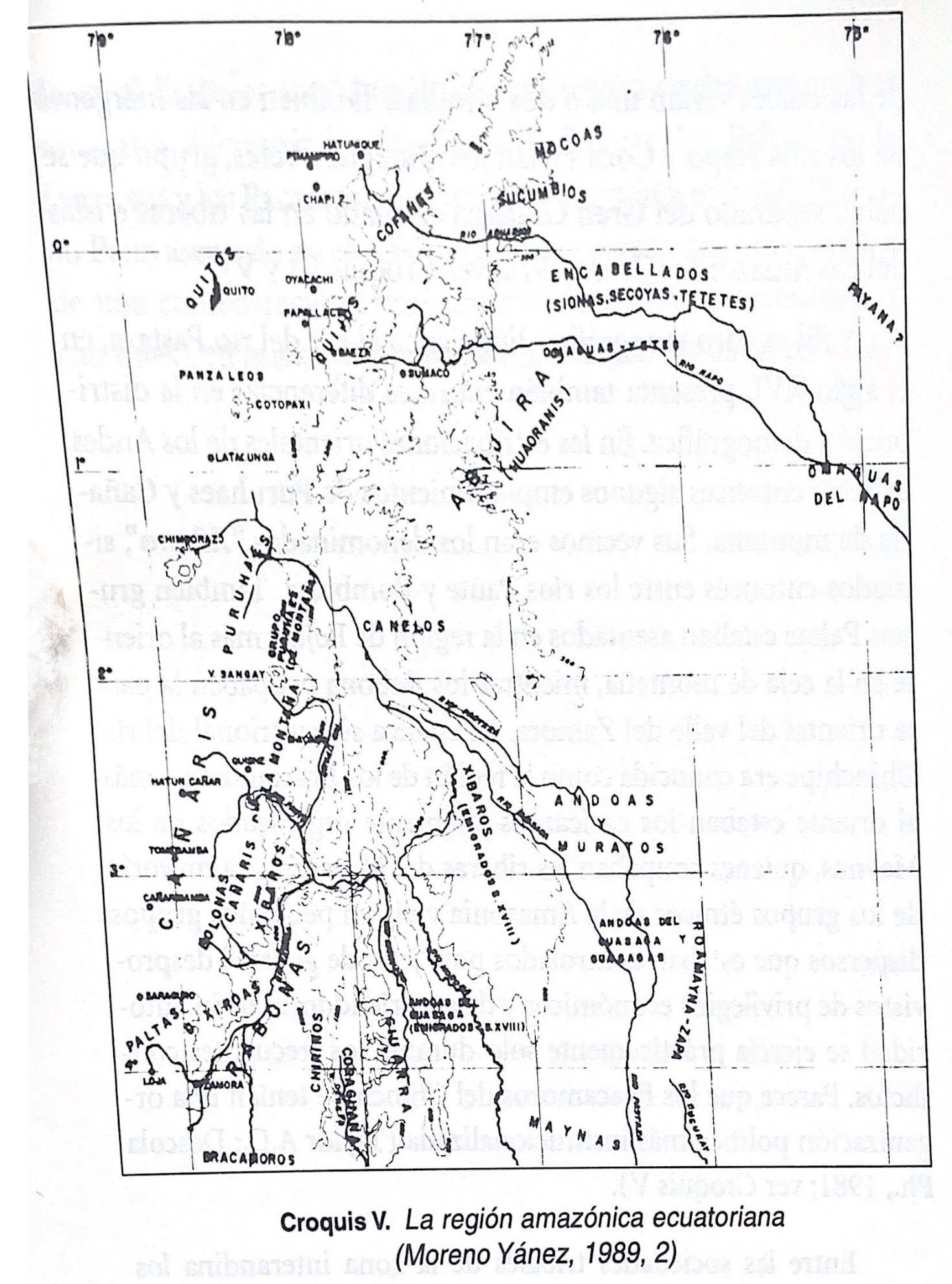
Croquis V. La región amazónica ecuatoriana (Moreno Yanez;1989;2)
Map -500 - 1530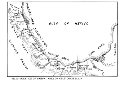
Location of Nahuat Area on Gulf Coast Plain
Map 1969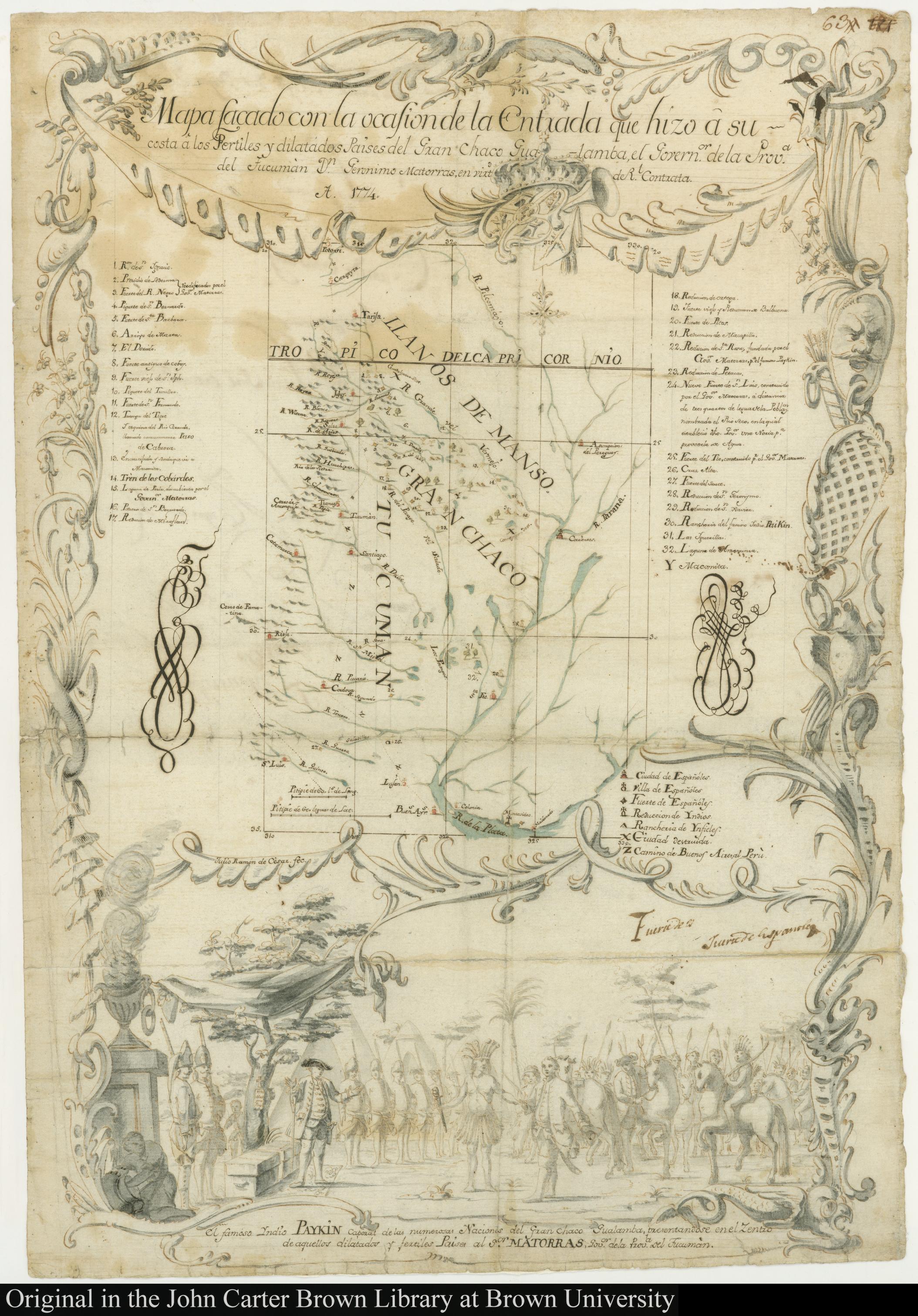
MAPA SACADO CON LA OCASION DE LA ENTRADA QUI HIZO Â SU COSTA Â LOS FERTILES Y DILATADOS PAISES DEL GRAN CHACO GUALAMBA
Map 1774