Peoples
- KUMANAGOTO
Citation
de Ruesta;Francisco. "Descripción geográphica e hidorgráphica del govierno de Venezuela i sus provinciaS." Map. 1634. Accessed August 19;2022. http://pares.mcu.es/ParesBusquedas20/catalogo/show/25929.
Geographical Map of the Republic of Nicaragua.
Map 1855
GRUPOS INDÍGENAS DE VENEZUELA
Map 2000 - 2010
Carte de la Guyane Française et l'Isle de Cayenne
Map 1798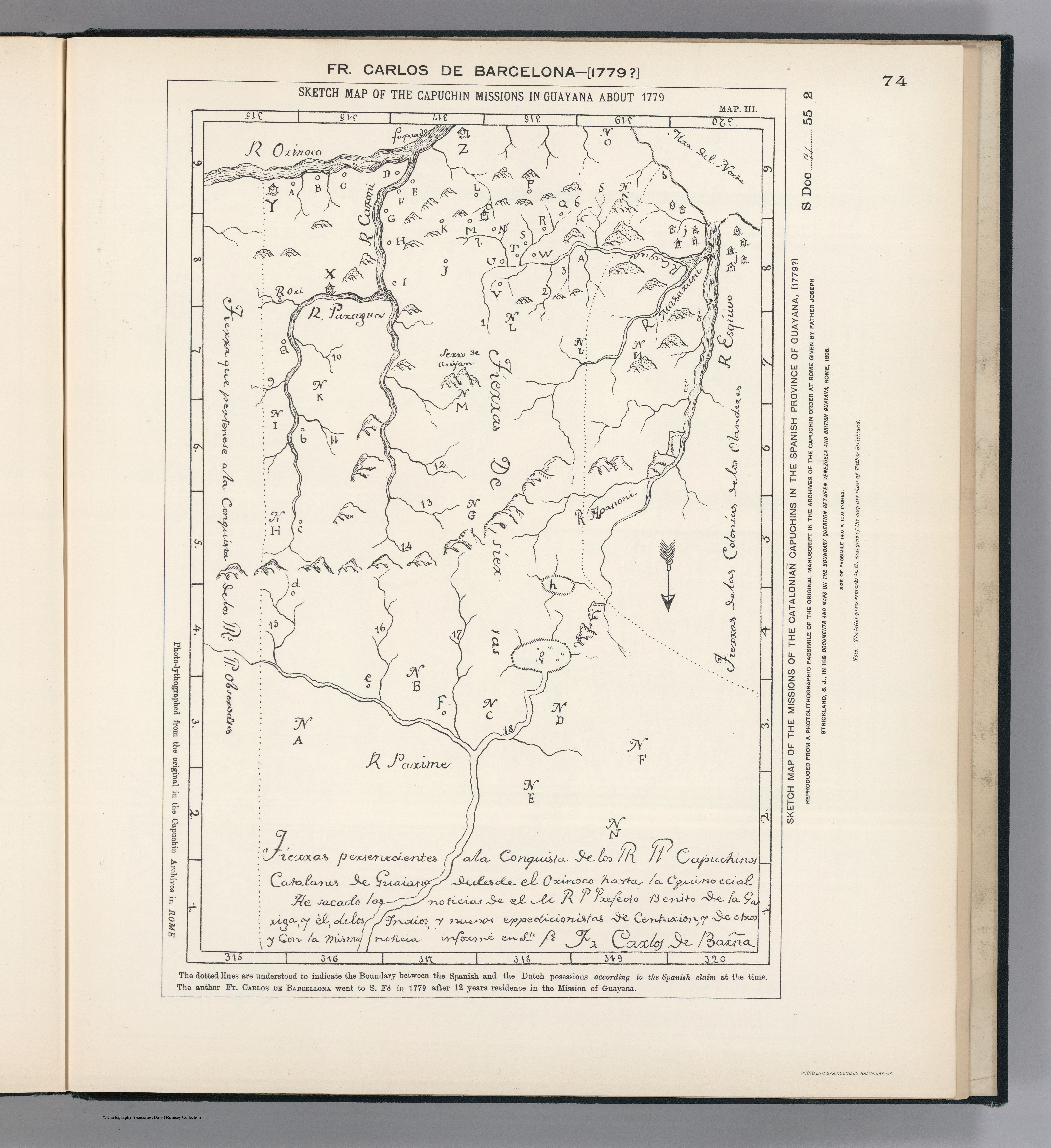
SKETCH MAP OF THE CAPUCHIN MISSIONS IN GUAYANA ABOUT 1779
Map 1779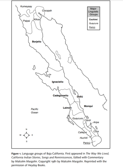
Language Groups of Baja California
Map 1981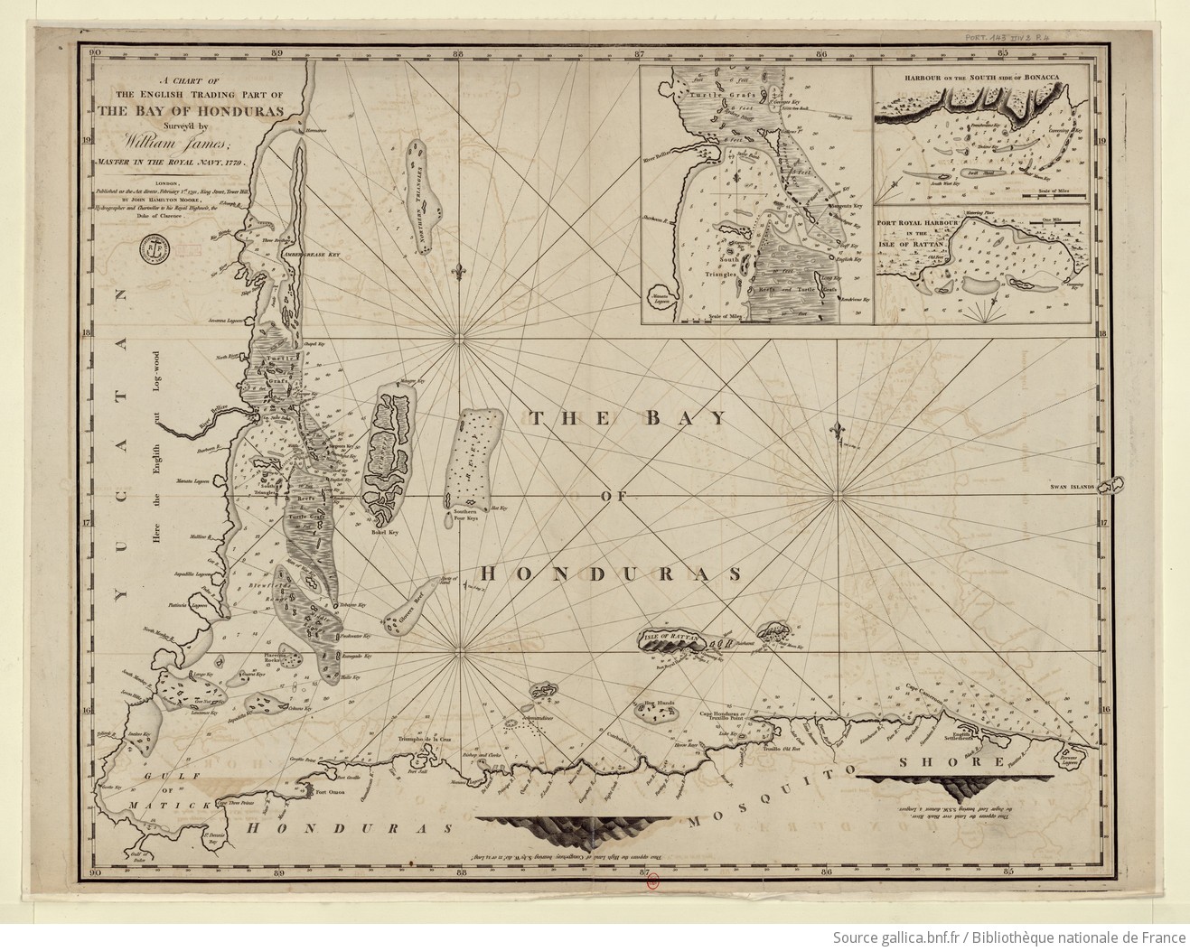
A chart of the English trading part of the bay of Honduras
Map 1791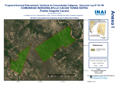
Comunidad Indígena Ayllu Cacan Turas Kayku - Pueblo Diaguita Cacano
Map 2020
Sachamama
Artwork