Peoples
- KUMANAGOTO
Citation
de Ruesta;Francisco. "Descripción geográphica e hidorgráphica del govierno de Venezuela i sus provinciaS." Map. 1634. Accessed August 19;2022. http://pares.mcu.es/ParesBusquedas20/catalogo/show/25929.
Specialkarte von A. v. HUMBOLDT’S REISEN in VENEZUELA und am ORINOKO-STROM
Map 1799 - 1800
Distribución Territorial Actual del Pueblo Yagan. XXII Region de Magallanes y la Antártica Chile
Map 1993![Karaiw A'e Wà (Os Civilizados) [The Civilized]](https://dnet8ble6lm7w.cloudfront.net/art_sm/ABRA052-0.png)
Karaiw A'e Wà (Os Civilizados) [The Civilized]
Artwork
Accuratissima Brasiliae Tabula
Map 1600 - 1699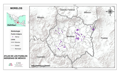
MORELOS
Map 2015
THE QULLASUYU IN THE 1530s – SOUTHERN DISTRICT OF THE INCA STATE
Map 1530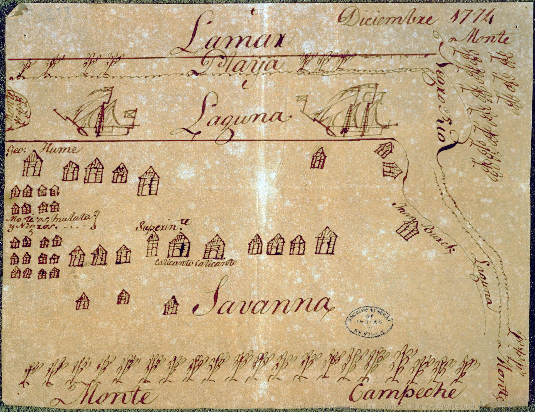
Diseño hecho á pluma de territorio que ocupan los ingleses en la costa de Mosquitos junto al Río Tinto.
Map 1774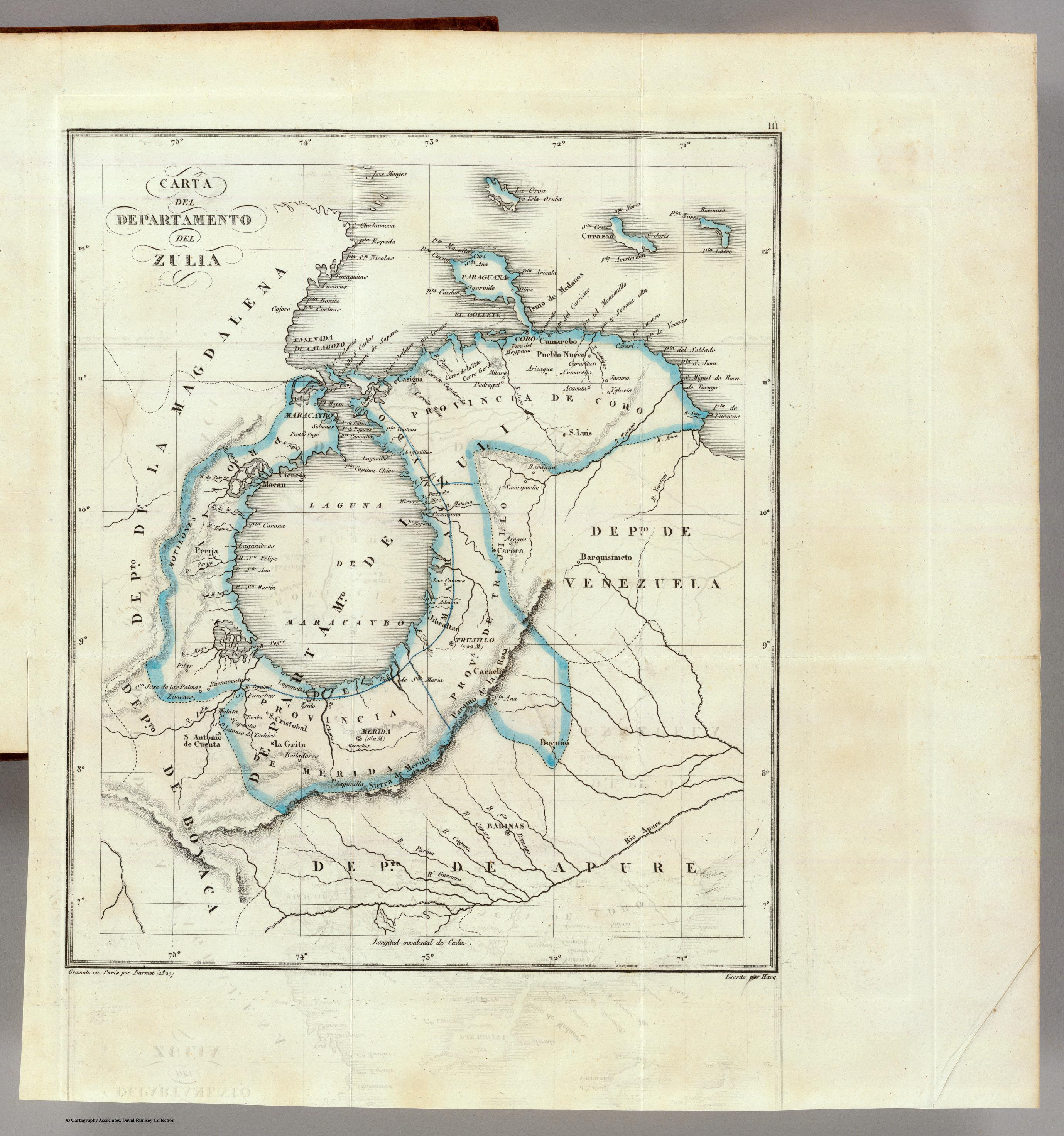
CARTA DEL DEPARTAMENTO DEL ZULIA
Map 1827